The best walks and hikes around Saint-Couat-Du-Razès
4.6
(224)
1,168
hikers
53
hikes
Hiking trails around Saint-Couat-Du-Razès traverse a landscape characterized by rolling hills, vineyards, and diverse forests. The region offers varied terrain, from gentle ascents in the Razès Depression to more challenging paths with panoramic views. Hikers can experience a mix of oak and pine copses, scrubland, and riverside sections. Distant views of the Malepère Massif, Corbières, Pyrenees, and Montagne Noire are common along many routes.
Best hiking trails around Saint-Couat-Du-Razès
- The most popular hiking route is Chalabre – Calvaire Chapel loop…
Last updated: August 28, 2026
5.0
(2)
25
hikers
12.7km
03:38
280m
280m
Moderate hike. Good fitness required. Easily-accessible paths. Suitable for all skill levels.
4.5
(4)
15
hikers
5.08km
01:31
150m
150m
Easy hike. Great for any fitness level. Easily-accessible paths. Suitable for all skill levels.

Sign up for free
4.3
(3)
14
hikers
7.53km
02:08
160m
170m
Moderate hike. Good fitness required. Easily-accessible paths. Suitable for all skill levels.
5.0
(3)
12
hikers
5.89km
01:37
100m
100m
Easy hike. Great for any fitness level. Easily-accessible paths. Suitable for all skill levels.
4.3
(3)
5
hikers
7.25km
02:26
390m
390m
Moderate hike. Good fitness required. Easily-accessible paths. Suitable for all skill levels.
Get access to more routes and recommendations from other explorers.
Sign up for free
Already have an account?
Our route recommendations are based on thousands of hikes, rides, and runs completed by other people on komoot.
Start today with a free account
Your next adventure awaits.
Login or Signup
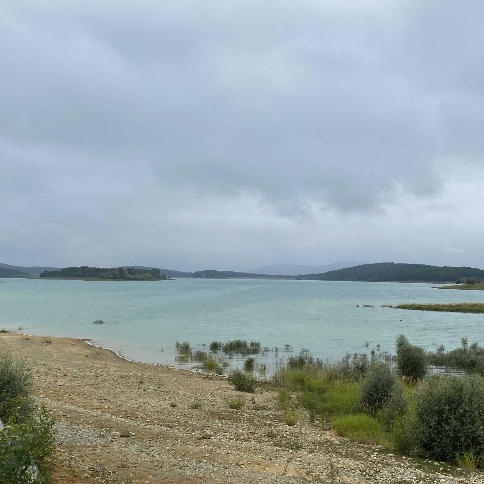

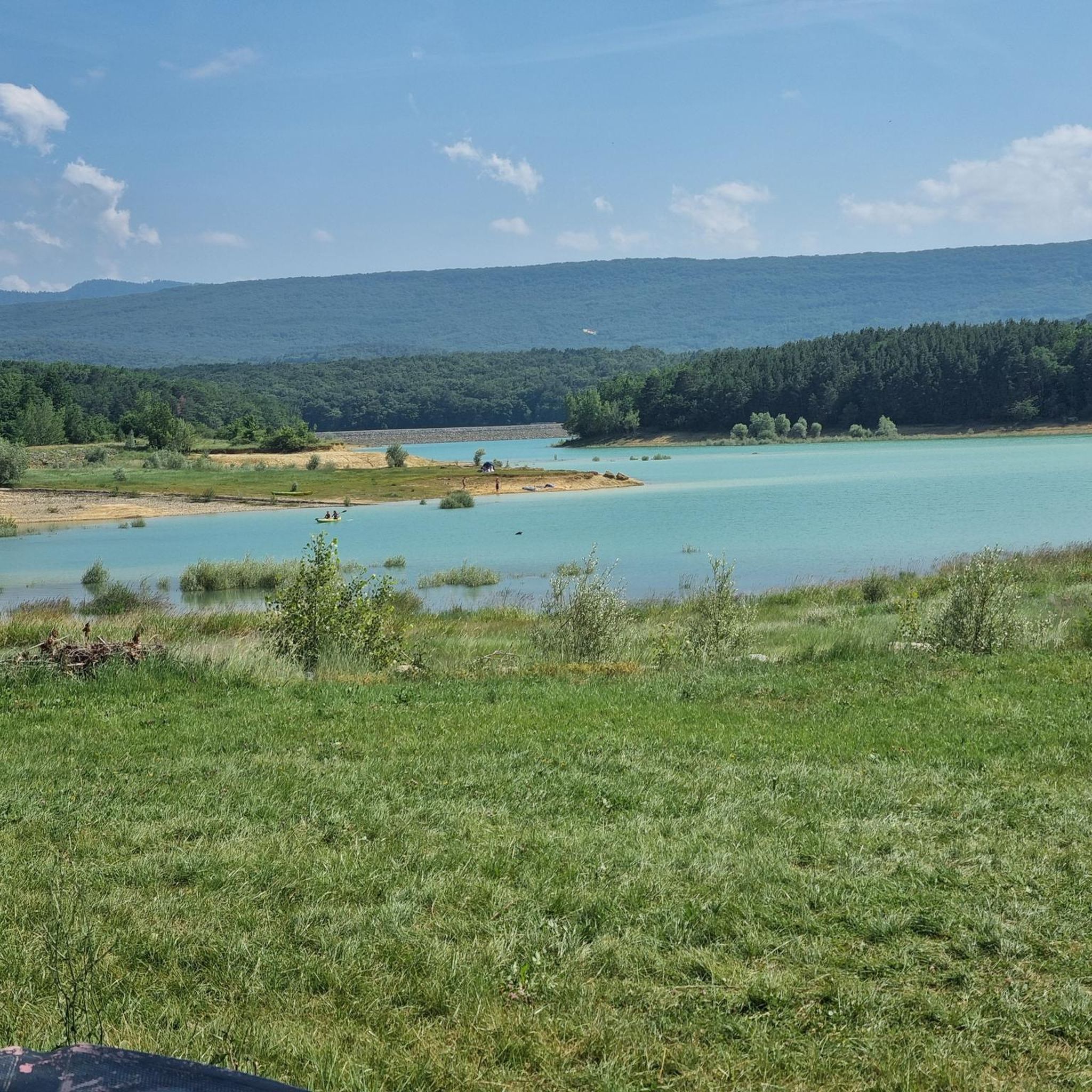
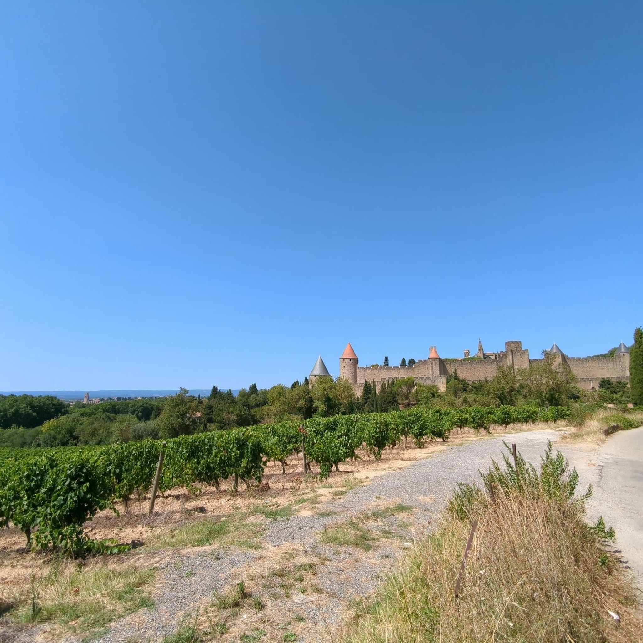

Tips from the Community

lovely spot for a rest/picnic with a fabulous view. Just by the grave of a local lady.
0
0

Large section above Alet les Bains is fenced off and blocks the route - even slipping around the fence isn’t worth it as the ridiculously steep climb is up a boulder field and unrideable in the direction shown. Some parts of the route are really nice but (1) private land and (2) impassable section makes it a bad day out - avoid
0
0


The only old train station with a nice use, tourist information and small shop for regional products. More information: https://de.wikipedia.org/wiki/Chalabre?wprov=sfla1
3
0

Located at the end of Chemin du Moulin to the south of the village.
2
0
In nature at the end of a dirt road suitable for motor vehicles.
2
0
Located at the corner of Rue du Pont and Bd de La République.
2
0

A fortified village with quiet little streets and alleys. The Café des Sports is a great place to stop for food and a warm welcome!
0
0
Frequently Asked Questions
What kind of hiking trails can I expect around Saint-Couat-Du-Razès?
The trails around Saint-Couat-Du-Razès offer a diverse landscape of rolling hills, ancient forests, and picturesque vineyards. You'll find paths traversing oak and pine copses, open scrubland, and gentle riverside sections. Many routes provide magnificent panoramic views of the Malepère Massif, Corbières, the majestic Pyrenees, and the Montagne Noire.
How many hiking routes are available in the Saint-Couat-Du-Razès area?
There are over 45 hiking routes available around Saint-Couat-Du-Razès. This includes a good mix of easy strolls, moderate paths, and some more challenging options to suit various fitness levels.
Are there any easy hikes suitable for beginners or a relaxed outing?
Yes, Saint-Couat-Du-Razès offers many easy trails. For a pleasant and accessible walk, consider the Loupia Windmill – Loupia Mural loop from Loupia. This 3.6-mile (5.8 km) path takes you through vineyards and past a historic windmill, typically completed in about 1 hour 35 minutes.
What are some of the natural features or landmarks I can see while hiking?
The region is rich in natural beauty and points of interest. You can explore the unique Labyrinthe Vert, discover a historic Windmill site, or wander through the enchanting Path Through the Enchanted Forest. For stunning vistas, many trails lead to viewpoints like Brau Peak, offering expansive views of the surrounding countryside and distant mountains.
Are there any circular hiking routes in the area?
Absolutely, many of the trails around Saint-Couat-Du-Razès are designed as circular routes, allowing you to start and end at the same point. A popular moderate option is the Ajac Countryside Loop loop from Ajac, a 4.5-mile (7.2 km) path offering lovely views of the surrounding area.
What is the best time of year to go hiking in Saint-Couat-Du-Razès?
Saint-Couat-Du-Razès is beautiful year-round, with an ever-changing display of deciduous and evergreen foliage. Spring and autumn generally offer the most comfortable temperatures for hiking, with vibrant wildflowers in spring and stunning colors in autumn. Summer is also popular, though it can be warmer, while winter provides a quieter, crisp experience.
Are there any challenging hikes for experienced trekkers?
While the region is known for its moderate and easy trails, there is at least one difficult route for those seeking a greater challenge. For a more strenuous hike with significant elevation gain, consider the Brau Peak – Rocky Path loop from Roquetaillade-et-Conilhac. This 4.5-mile (7.3 km) route features nearly 400 meters of ascent and descent, offering a rewarding workout and expansive views.
What do other hikers say about the trails in Saint-Couat-Du-Razès?
The hiking trails in Saint-Couat-Du-Razès are highly regarded by the komoot community, with an impressive average rating of 4.7 stars from over 180 reviews. Hikers often praise the well-maintained paths, the peaceful atmosphere, and the varied scenery, from vineyards to forests and panoramic viewpoints.
Are the trails around Saint-Couat-Du-Razès suitable for families with children?
Yes, many trails in the region are suitable for families. The varied terrain includes gentle ascents and relatively flat sections, making them enjoyable for different age groups. Look for the 'easy' graded routes, which are typically shorter and have less elevation change, perfect for a family outing.
Is there parking available at the trailheads?
While specific parking information for each trailhead isn't always detailed, most villages and starting points for popular routes in the region, such as those near Chalabre or Loupia, typically offer designated parking areas or roadside parking suitable for hikers.
Can I bring my dog on the hiking trails?
Generally, dogs are welcome on most hiking trails in the Saint-Couat-Du-Razès area, especially in rural and forested sections. However, it's always advisable to keep your dog on a leash, particularly when passing through agricultural land, near livestock, or in areas where wildlife might be present. Please also ensure you clean up after your pet.
Most popular routes around Saint-Couat-Du-Razès
Most popular attractions around Saint-Couat-Du-Razès

Get inspired with the komoot mobile app


Explore more
Browse the best Hikes in other regions.
