The best cycling routes around Genweiler
4.4
(434)
3,297
riders
246
rides
Touring cycling around Genweiler provides access to the varied landscapes of the Moselle department in northeastern France. The region is characterized by wooded hills, river valleys, and agricultural areas, including vineyards. The terrain is generally accessible, with many routes following the Moselle River. These paths offer a mix of dedicated cycle tracks and stretches through charming villages.
Best touring cycling routes around Genweiler
- The most popular touring cycling route is Mine Wendel – Carreau Wendel Coal Mine loop from Hombourg-Haut…
Last updated: July 5, 2026
4.2
(22)
89
riders
Moderate bike ride. Good fitness required. Mostly paved surfaces. Suitable for all skill levels.
4.7
(19)
107
riders
36.7km
02:17
250m
250m
Moderate bike ride. Good fitness required. Mostly paved surfaces. Suitable for all skill levels.

Sign up for free
4.0
(1)
23
riders
34.9km
03:08
500m
500m
Hard bike ride. Very good fitness required. You may need to push your bike for some segments of this route.
8
riders
24.0km
01:34
250m
250m
Moderate bike ride. Good fitness required. Mostly paved surfaces. Suitable for all skill levels.
7
riders
44.3km
03:14
350m
350m
Moderate bike ride. Good fitness required. Mostly paved surfaces. Suitable for all skill levels.
Get access to more routes and recommendations from other explorers.
Sign up for free
Already have an account?
Our route recommendations are based on thousands of hikes, rides, and runs completed by other people on komoot.
Start today with a free account
Your next adventure awaits.
Login or Signup
Tips from the Community

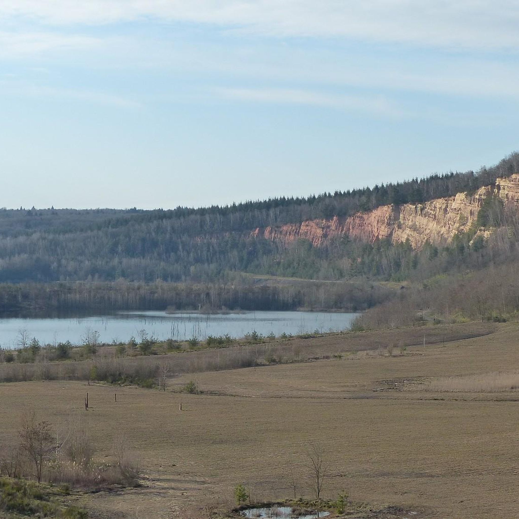
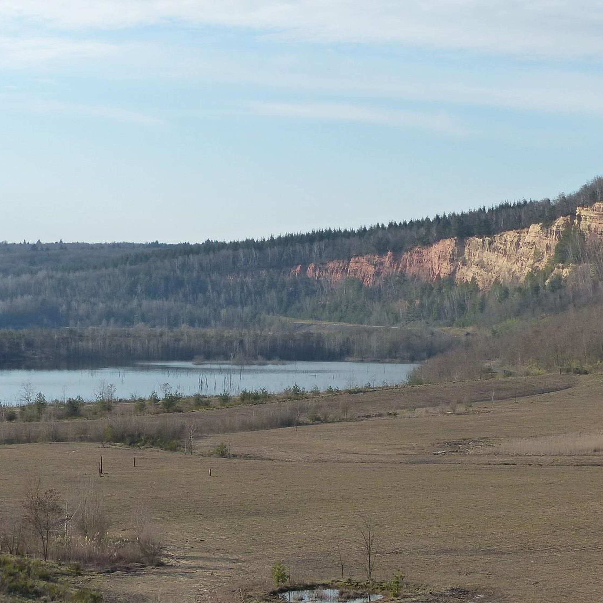
Dam with beautiful views over the lake and the surrounding countryside. The lake is lined with small fishing huts built on stilts along the shore.
0
0

The Hoste Bas pond borders the Hoste Haut pond. It was part of the Maginot Line defense system. Today, they are home to numerous species of fish, much to the delight of anglers.
0
1
The Welschof Pond is a little corner of paradise for fishermen and ducks. It was built in the 1930s to serve as a reservoir for the Maginot Line's defensive flood control system.
1
0

Definitely worth seeing👍
1
0

The Carreau Wendel is the former mining site of the Wendel mine in the Lorraine coal basin, near the city of Forbach in France. In mining, the term "Carreau" refers to the mining area or the surface of a mine on which the shafts, conveyor systems and other mining infrastructure are located.
3
0


Farébersviller (German: Pfarrebersweiler) is a French commune with 5,316 inhabitants (1 January 2021) in the Moselle department in the Grand Est region (until 2015 Lorraine). It belongs to the arrondissement of Forbach-Boulay-Moselle, the canton of Freyming-Merlebach and the Freyming-Merlebach municipal association founded in 2001. Pfarrebersweiler belonged to the Duchy of Lorraine since 1581, which fell to France according to a treaty after the death of Stanislaus I on 23 February 1766. From 1871, following the defeat in the Franco-Prussian War, Pfarrebersweiler was part of the Imperial Territory of Alsace-Lorraine within the German Empire. After losing the First World War, the German Empire had to cede Alsace-Lorraine to France again under the terms of the Treaty of Versailles. After a further 22 years, German troops marched into the town again. Thus, Farébersviller, now Pfarrebersweiler again, was effectively annexed like the rest of Alsace-Lorraine. The town returned to France in 1944 and was given its French name again.
1
0

Unfortunately the route is blocked between point 12 and the end. There is a new metal barrier blocking the way
0
0
Frequently Asked Questions
How many touring cycling routes are available around Genweiler?
There are over 260 touring cycling routes around Genweiler, offering a wide variety of options. These include 40 easy routes, 115 moderate routes, and 107 difficult routes, catering to different skill levels and preferences.
What kind of landscapes can I expect on touring cycling routes near Genweiler?
Touring cycling around Genweiler features diverse landscapes, including wooded hills, river valleys, and agricultural areas with vineyards. Many routes follow the Moselle River, providing scenic views and a mix of dedicated cycle tracks and paths through charming villages. The region is part of the broader Moselle department, known for its extensive cycling network.
Are there any family-friendly touring cycling routes in the Genweiler area?
Yes, the region offers routes suitable for families. The Moselle Cycle Path, accessible from the Genweiler area, is largely flat and well-signposted, making it ideal for leisure cyclists and families. Its gentle gradients and mostly asphalted paths ensure a comfortable experience with minimal traffic. For a shorter, moderate option, consider the Étang de Longeville – Pond Behind the Paper Mill loop from Hombourg-Haut, which is about 13.4 km long.
Are there any circular touring cycling routes near Genweiler?
Yes, many touring cycling routes around Genweiler are designed as loops. For example, the Mine Wendel – Carreau Wendel Coal Mine loop from Hombourg-Haut is a moderate 36.7 km route exploring areas of historical industrial significance. Another option is the Chapelle Sainte-Catherine – View of the Observation Tower loop from Hombourg-Haut, a moderate 38.4 km path offering scenic views.
What historical or cultural sites can I explore while cycling near Genweiler?
The region around Genweiler offers several historical and cultural points of interest. You can cycle past the Karlsbrunn Hunting Lodge or visit the Farébersviller Memorial and Stone Bridge. For a route specifically focused on history, the Hellering Castle ruins ⚔️🏰 – Saint-Avold SNCF station loop from Hellering is a challenging 42.7 km trail that leads through historical sites and rural landscapes.
Are there any natural attractions or viewpoints along the touring cycling routes?
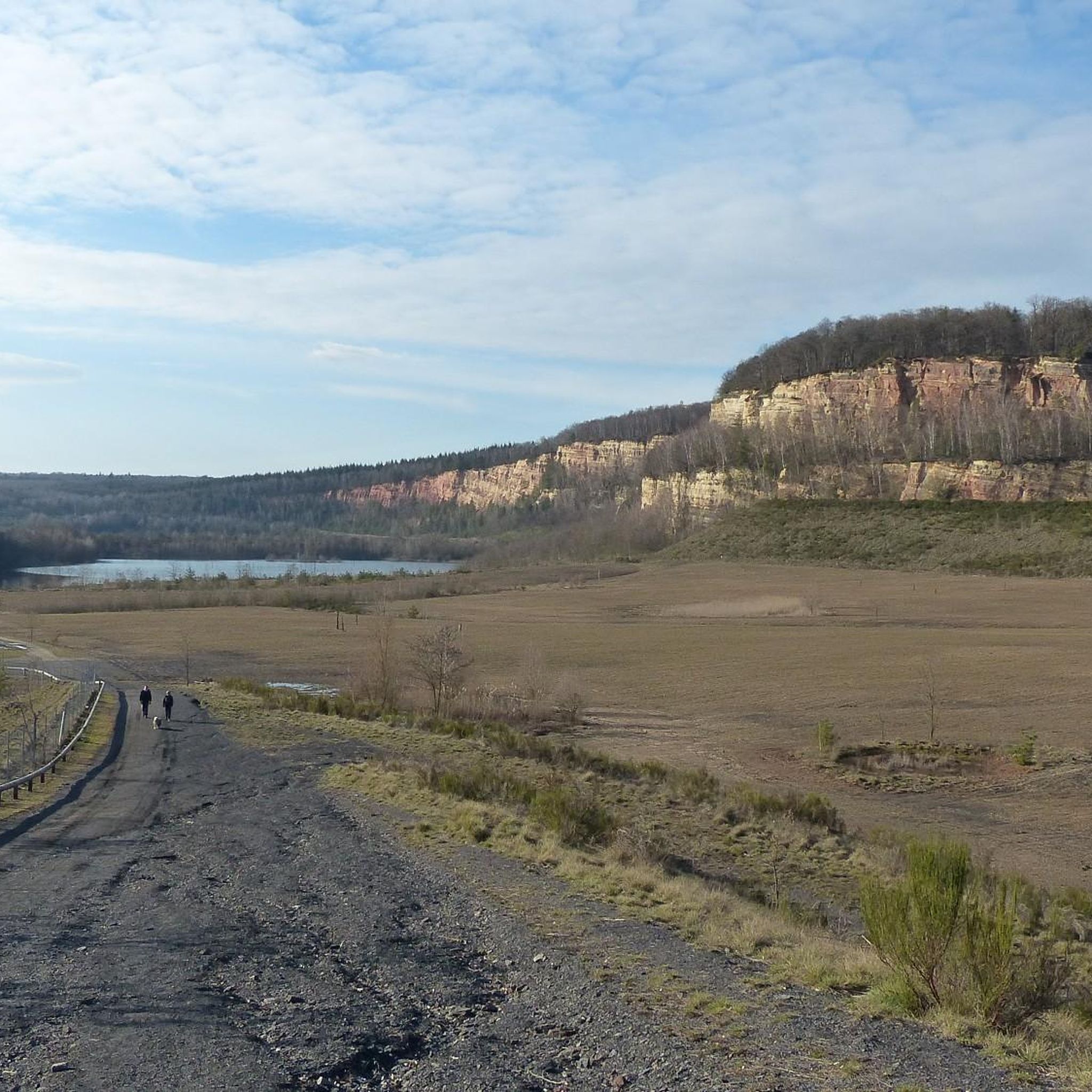
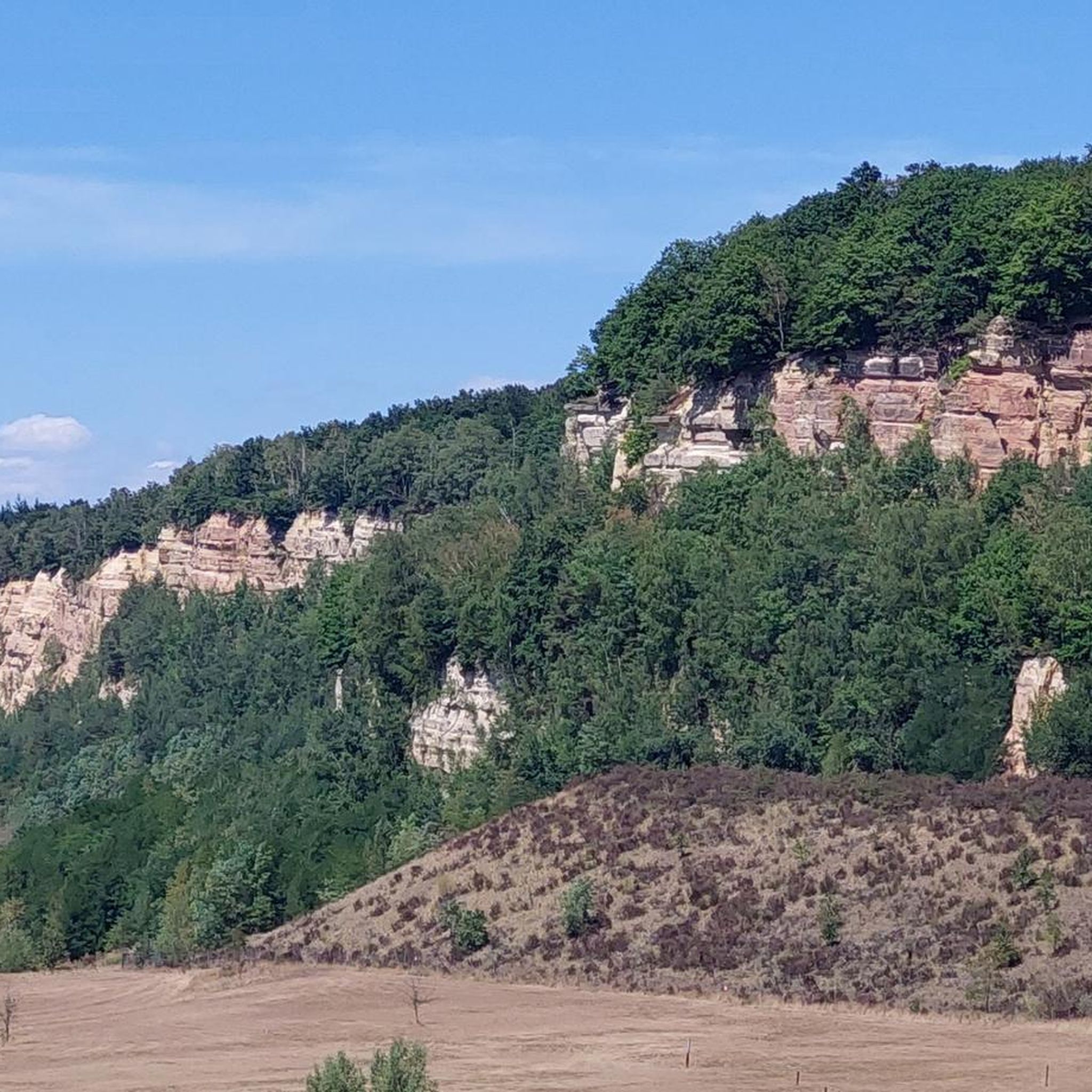
Yes, you can find several natural attractions and viewpoints. The Panoramic Platform at Barrois Quarry offers great views. You might also encounter natural monuments like the Barrois Quarry or the Sprossmannsquelle. The region's landscapes are characterized by wooded hills and valleys, providing many scenic spots.
What do other touring cyclists say about the routes in Genweiler?
The touring cycling routes in Genweiler are highly rated by the komoot community, with an average score of 4.3 stars from over 320 reviews. Cyclists often praise the varied terrain, which includes river paths, wooded hills, and vineyard landscapes, as well as the options available for different ability levels.
Can I access touring cycling routes near Genweiler using public transport?
Yes, some routes are accessible via public transport. For instance, the Hellering Castle ruins ⚔️🏰 – Saint-Avold SNCF station loop from Hellering starts near the Saint-Avold SNCF station, making it convenient for those arriving by train. Similarly, the Hombourg-Haut Station – Sentier Marie Rocchia Alt: 292 loop from Hombourg-Haut begins near Hombourg-Haut Station.
What is the best time of year for touring cycling in Genweiler?
The Moselle region generally offers pleasant cycling conditions from spring through autumn. During these seasons, you can enjoy the lush vineyards and river scenery. While specific weather conditions vary, the mild climate of northeastern France makes it suitable for outdoor activities for much of the year.
Are there any lakes or water features along the touring cycling routes?
Yes, the region features several lakes and water bodies. You can find routes that pass by the Nikolausweiher or the Lower Hoste Pond. The Moselle River itself is a dominant natural feature, and many cycling paths run alongside it, offering opportunities for water-based views.
Are there options for advanced touring cyclists near Genweiler?
Absolutely. Out of the over 260 routes, 107 are classified as difficult, providing a challenge for advanced touring cyclists. An example is the Hellering Castle ruins ⚔️🏰 – Saint-Avold SNCF station loop from Hellering, a 42.7 km route with significant elevation gain, often completed in about 3 hours 38 minutes.
Most popular routes around Genweiler
Most popular attractions around Genweiler

Get inspired with the komoot mobile app


Explore more
Browse the best Cycling routes in other regions.
