The best MTB trails around Kemplich
4.5
(63)
388
riders
50
rides
Mountain biking around Kemplich offers routes through a landscape characterized by extensive forests, which cover approximately 37% of the area. The commune's elevation ranges from 228 meters to 350 meters, providing varied terrain suitable for mountain biking. This region, part of the wider Moselle department, features rolling hills and diverse natural settings. The varied topography creates opportunities for outdoor exploration on two wheels.
Best mountain bike trails around Kemplich
- The most popular mountain bike trail is Hackenberg South Casemate –…
Last updated: October 9, 2026
4.0
(1)
14
riders
34.1km
03:11
720m
720m
Moderate mountain bike ride. Good fitness required. Suitable for all skill levels.
4.5
(2)
10
riders
34.2km
02:06
320m
320m
Moderate mountain bike ride. Good fitness required. Suitable for all skill levels.

5.0
(2)
8
riders
27.5km
02:36
610m
610m
Moderate mountain bike ride. Good fitness required. Advanced riding skills necessary.
4
riders
35.5km
02:52
410m
410m
Moderate mountain bike ride. Good fitness required. Advanced riding skills necessary.
3.0
(1)
3
riders
26.2km
01:59
230m
230m
Moderate mountain bike ride. Great for any fitness level. Advanced riding skills necessary.
Get access to more routes and recommendations from other explorers.
Already have an account?
Our route recommendations are based on thousands of hikes, rides, and runs completed by other people on komoot.
Start today with a free account
Your next adventure awaits.


Tips from the Community

This is a spot with tracks going in all directions on old military trenches. There are transitions of all sizes and at least one small drop.
0
0

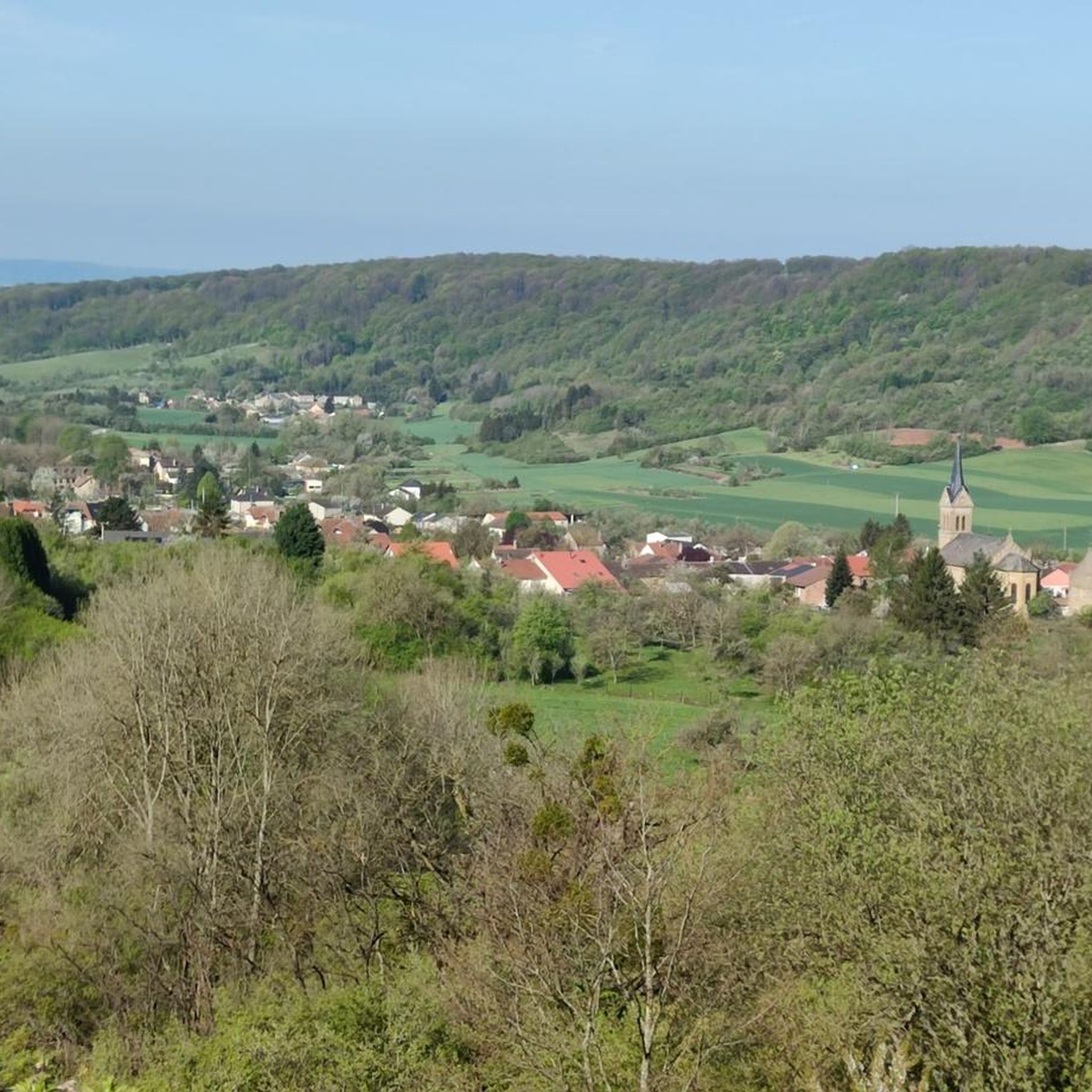
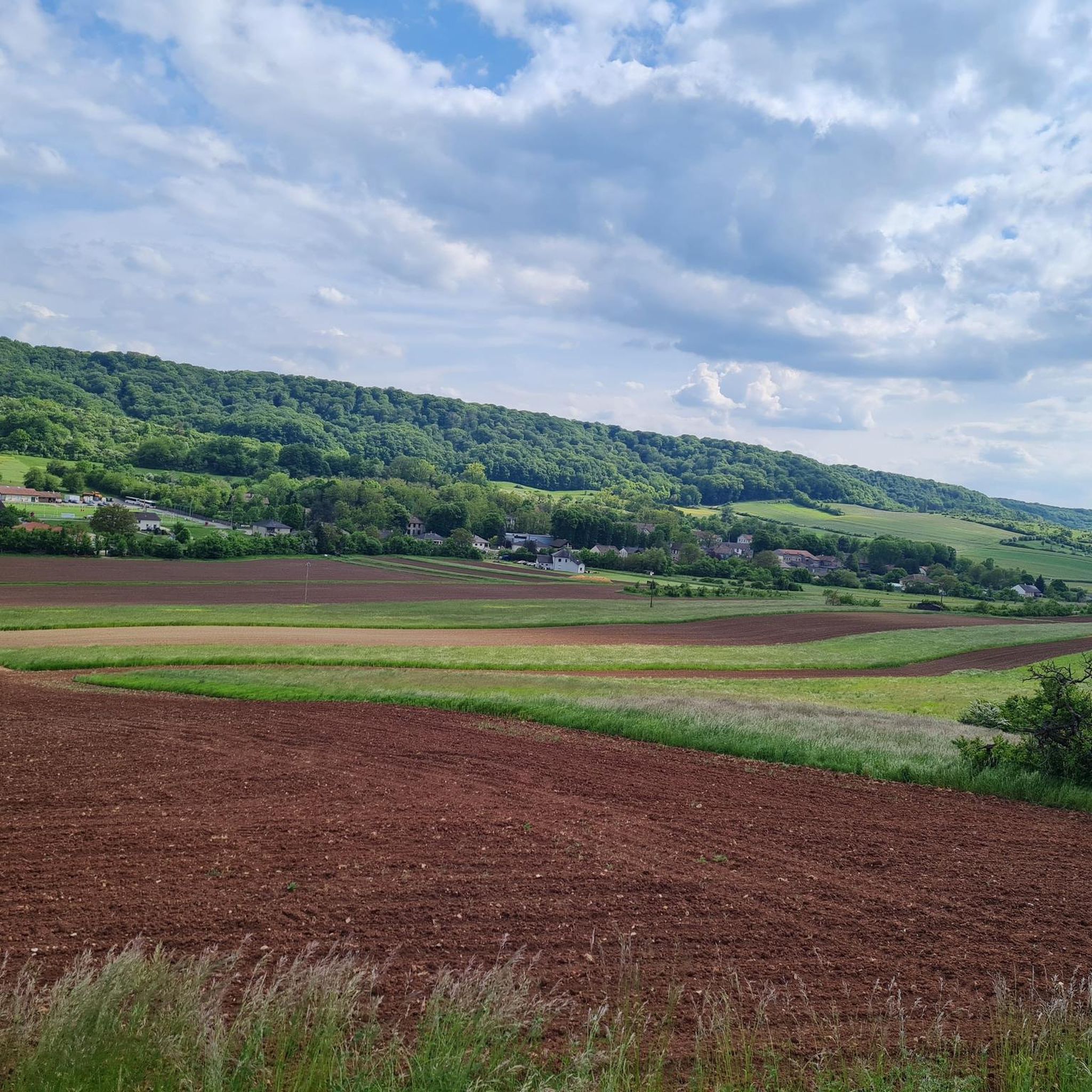
🌾 **View of Kemplich – Peace and Space in the Lorraine Hills** The **view of Kemplich** offers a tranquil panorama of the small village amidst rolling meadows and fields. Nestled in the Lorraine border region, Kemplich, with its bright houses, church, and farmsteads, seems like a place where time passes more slowly. 🌳 The panorama is particularly beautiful from the ridge west of the village – on a clear day, the view extends far across the landscape to the surrounding valleys. **Tip:** Perfect for a short rest with a view of a typical French village – ideal for quiet moments in nature and a feeling of space.
2
0

perfect for adrenaline-fueled mountain biking, sometimes between the very close trees
0
0

The church is located above the town, somewhat out of the way. It is usually closed and only opens for mass on Saturdays. But with a bit of luck you will come across people cleaning or maintaining the building. Then you can catch a glimpse of the interior.
0
0
From here we go up to Hackenberg.
0
1

The Hackenberg structure is one of the largest fortifications of the Maginot Line in France. This gigantic underground complex, built between 1929 and 1935, is made up of 19 blocks connected by kilometers of tunnels. You can explore the surface of the site, where you will see the impressive anti-tank wall, the artillery casemates and the Hackenberg Chapel. You can also take a guided tour of the interior, aboard a small train, and discover the living quarters, the power station and the ammunition depot of the fort. The Hackenberg Ouvrage is a fascinating place to discover the history and technology of the interwar period.
4
0
Frequently Asked Questions
How many mountain bike trails are available around Kemplich?
There are over 50 mountain bike trails around Kemplich, offering a diverse range of options for riders. These routes are highly rated by the komoot community, with an average score of 4.5 stars.
What kind of terrain can I expect on mountain bike trails near Kemplich?
The terrain around Kemplich is characterized by dense woodlands and rolling hills, with elevations ranging from 228 to 350 meters. You'll find varied landscapes, including extensive forests covering about 37% of the area, providing a mix of natural surfaces suitable for mountain biking.
Are there mountain bike trails suitable for beginners or families in Kemplich?
Yes, Kemplich offers a good selection of trails for all skill levels. Out of the over 50 routes, 18 are classified as easy, making them suitable for beginners or families looking for a more relaxed ride. An example of an easy route is the Moulun – Yutz Plage loop from Buding.
What are some notable landmarks or points of interest I can see while mountain biking near Kemplich?
The region around Kemplich is rich in history and natural beauty. You can explore historical sites such as the significant Maginot Line fortress, Hackenberg Fort, which is near several trails. Other points of interest include the Kédange-sur-Canner Church and the Sainte-Croix de Bouzonville abbey.
Are there any circular mountain bike routes in the Kemplich area?
Yes, many of the mountain bike trails around Kemplich are designed as loops, offering convenient circular routes. For instance, the Hackenberg South Casemate – Moulun loop from Veckring is a popular moderate circular path that connects to the historic Hackenberg area.
What is the best time of year to go mountain biking in Kemplich?
The Moselle region, including Kemplich, is generally pleasant for outdoor activities from spring through autumn. The varied terrain and extensive forests make it enjoyable during these seasons. While specific winter conditions are not detailed, the region's natural features are best experienced when the weather is milder.
Can I bring my dog on the mountain bike trails around Kemplich?
While specific regulations for dogs on trails are not provided, the region's extensive forests and natural landscapes generally offer opportunities for outdoor activities with dogs. It's always advisable to keep dogs on a leash and ensure they are well-behaved, especially in shared-use areas.
Are there options for more challenging mountain bike rides near Kemplich?
Yes, for experienced riders seeking a challenge, there is at least one difficult mountain bike route available among the 51 trails around Kemplich. The region's varied topography, with its rolling hills and elevation changes, provides opportunities for more demanding rides.
What do other mountain bikers say about the trails in Kemplich?
The mountain bike trails in Kemplich are highly regarded by the komoot community, holding an average rating of 4.5 stars from over 50 reviews. More than 400 mountain bikers have explored the area using komoot, often praising the diverse terrain and the experience of riding through dense woodlands.
Is there parking available near the mountain bike trailheads in Kemplich?
While specific parking locations for each trailhead are not detailed, Kemplich is a rural community within the Moselle department. Access points to trails are typically found in or near villages, where parking facilities are often available. It's recommended to check specific route details on komoot for suggested starting points.
Are there any mountain bike trails that pass by water features or rivers in the Kemplich area?
The wider Moselle region is known for its river plains and streams, particularly along the Moselle Valley. While Kemplich itself is more characterized by forests and hills, some regional trails may traverse areas closer to water features. For example, the Moulun – Yutz Plage loop from Buding is an easy route that includes 'Yutz Plage' in its name, suggesting proximity to water.
Can I access the mountain bike trails in Kemplich using public transport?
Kemplich is a small rural commune. While public transport options might be limited directly to every trailhead, the broader Moselle department has regional transport networks. For specific access points, it's best to consult local public transport schedules or consider driving to a suitable starting point.
Most popular attractions around Kemplich

Get inspired with the komoot mobile app


Explore more
Browse the best MTB trails in other regions.
