The best running trails in Udine
4.3
(903)
43,175
runners
2,613
runs
Jogging routes in Udine encompass a diverse landscape, ranging from well-maintained urban green spaces to challenging mountainous terrains. The city itself offers several parks with established pathways, while the surrounding province extends into the Julian and Carnic Alps, providing varied elevations and natural features. This region is characterized by its blend of accessible city parks, expansive natural reserves, and routes near lakes, catering to different running preferences.
Best jogging routes in Udine
- The most popular jogging route is Lake Avostanis…
Last updated: October 10, 2026
39
runners
8.27km
01:24
570m
570m
Prepare for a challenging jogging experience on the Lake Avostanis loop from Rifugio Casera Pramosio. This difficult 5.1-mile (8.3 km) route demands good fitness, featuring a significant 1876 feet (572…
32
runners
14.5km
02:28
980m
970m
Embark on the challenging Passo Sella Sissanis and Lago Bordaglia ring tour, a difficult route through the Carnic Alps. This demanding trail covers 9.0 miles (14.5 km) with a substantial…

4.0
(1)
21
runners
17.0km
03:12
1,110m
1,110m
The Monte Zaiavor loop offers a challenging jogging experience through the Prealpi Giulie Natural Park, covering 10.6 miles (17.0 km) with a significant elevation gain of 3654 feet (1114 metres).…
26
runners
6.64km
01:30
590m
590m
Prepare for a challenging jogging experience on the Julius Kugy Three Countries Trail, a difficult route spanning 4.1 miles (6.6 km). You will ascend a significant 1950 feet (594 metres),…
10
runners
12.5km
02:21
960m
980m
Prepare for a difficult jogging adventure on the Casera Ungarina and Malga Confin Loop, a challenging route that spans 7.8 miles (12.5 km) and climbs a significant 3161 feet (963…
5.0
(1)
13
runners
20.0km
04:34
1,800m
1,800m
Prepare for a difficult jogging challenge on the Bila Pec and Rifugio Gilberti Loop, covering 12.4 miles (20.0 km) with a significant 5918 feet (1804 metres) of elevation gain. This…
11
runners
17.2km
03:39
1,120m
1,120m
Embark on a difficult 10.7-mile (17.2 km) loop tour that takes you through varied alpine terrain, offering stunning panoramic views. This challenging route, with an elevation gain of 3675 feet…
5.0
(1)
5
runners
11.1km
02:55
1,020m
1,020m
Prepare for a challenging jogging experience on the Monte Chiavals Loop via Bivacco Bianchi. This difficult route spans 6.9 miles (11.1 km) and demands a significant 3353 feet (1022 metres)…
14
runners
Prepare for a challenging jogging experience on the Rifugio Chiampizzulon ring tour, a difficult route through the Natural Park of the Friulian Dolomites. This loop covers 4.6 miles (7.5 km)…
4
runners
12.2km
02:10
880m
880m
Prepare for a challenging jogging experience on the Mount Osternig ring tour in the Carnic Alps. This difficult 7.6-mile (12.2 km) route features a significant elevation gain of 2890 feet…
Get access to more routes and recommendations from other explorers.
Already have an account?
Our route recommendations are based on thousands of hikes, rides, and runs completed by other people on komoot.
Start today with a free account
Your next adventure awaits.
Popular around Udine
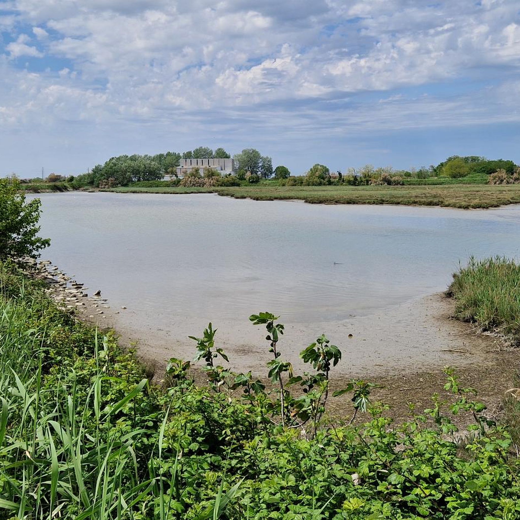
Running Trails around Lignano Sabbiadoro
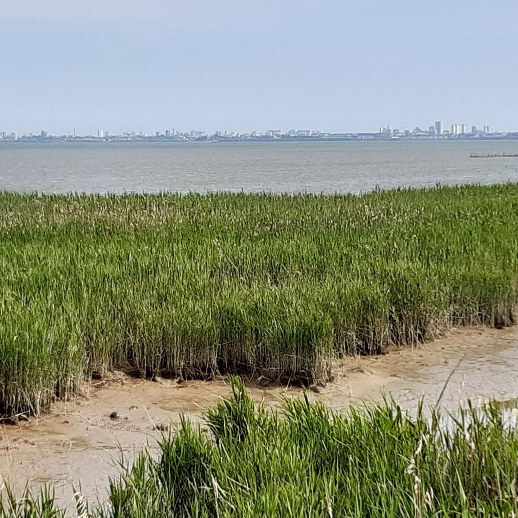
Running Trails around Nature Reservele Focilo Stella
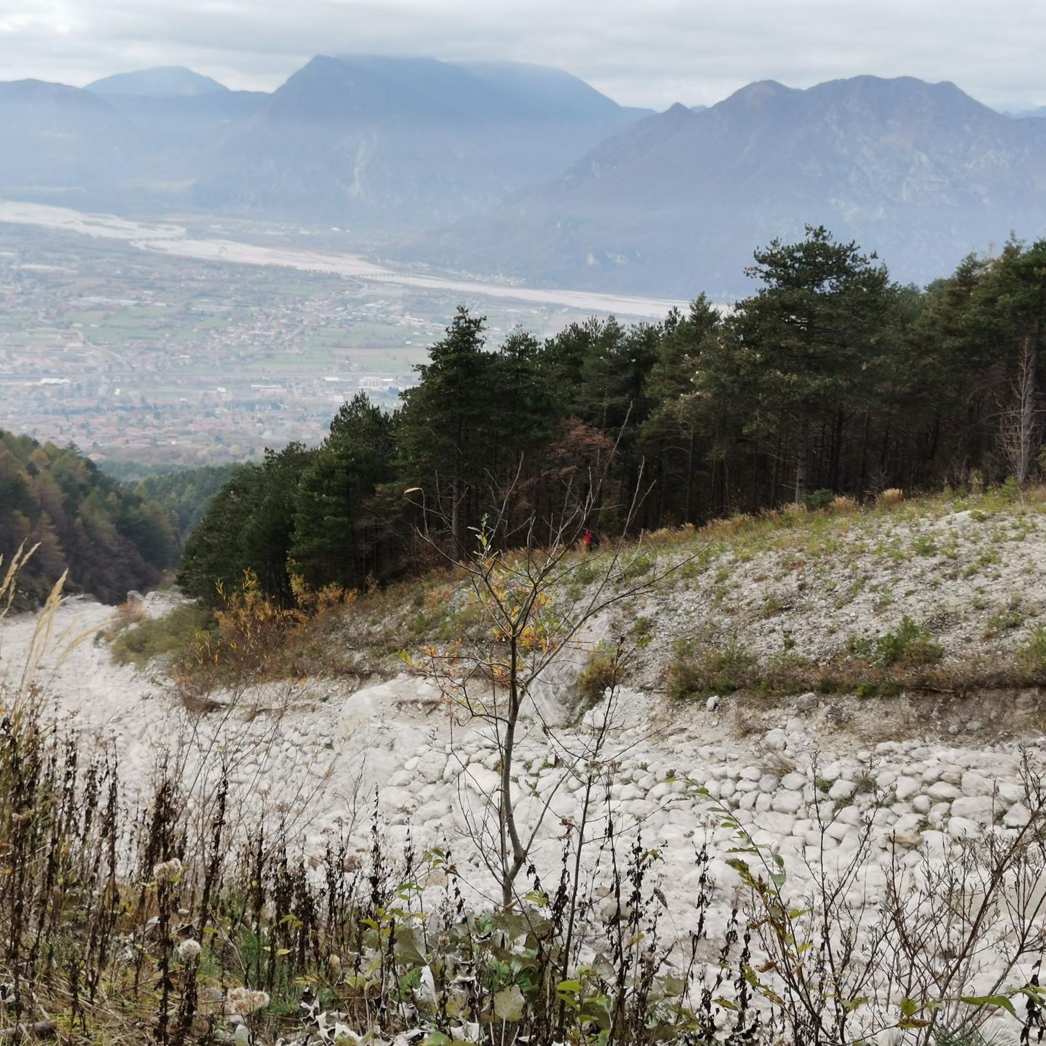
Running Trails around Gemona Del Friuli
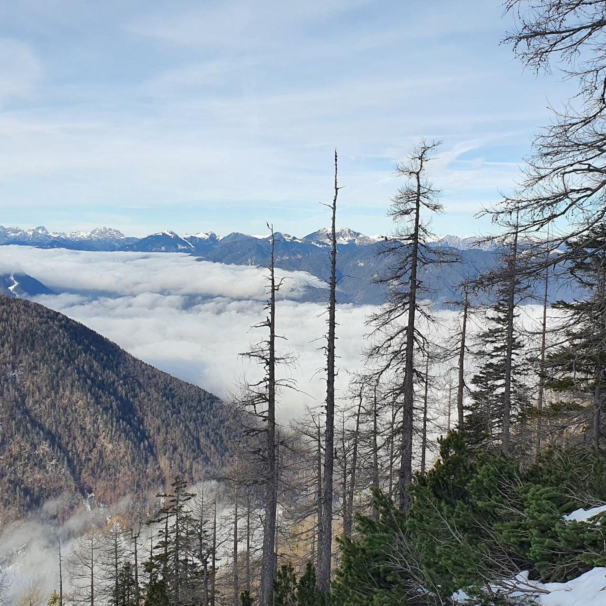
Running Trails around Tarvisio
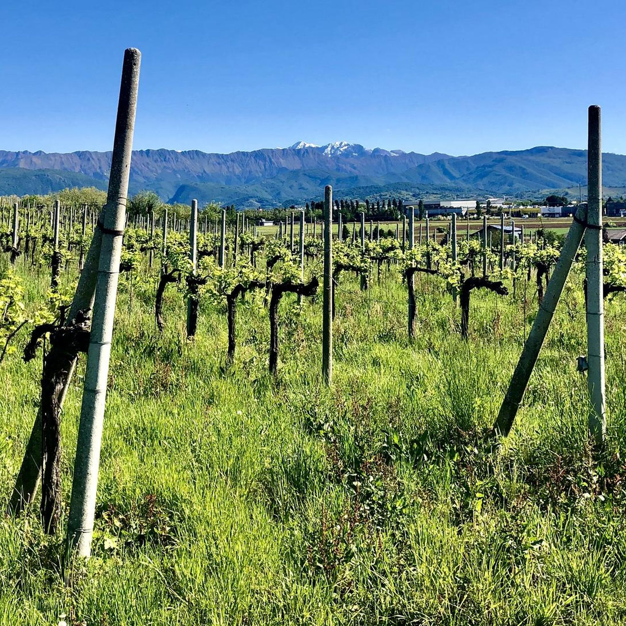
Running Trails around Tavagnacco
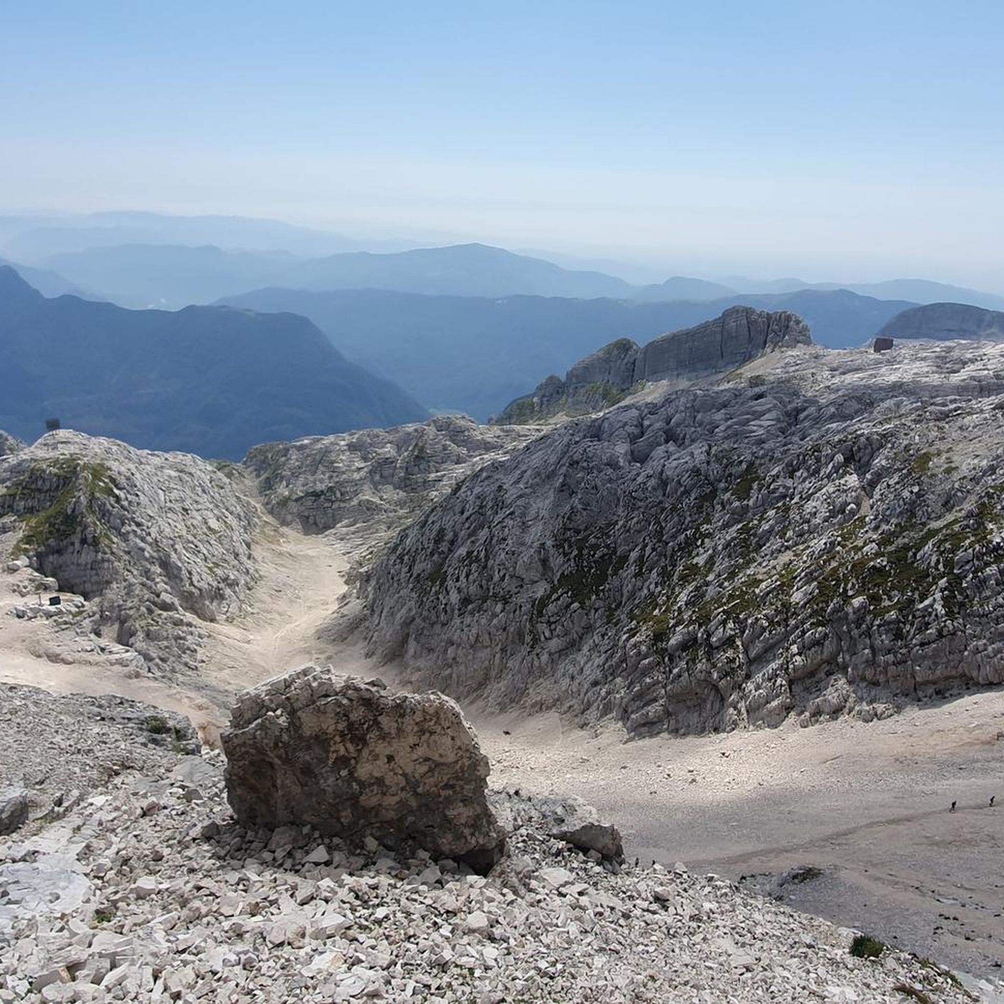
Running Trails around Parco naturale regionale delle Prealpi Giulie
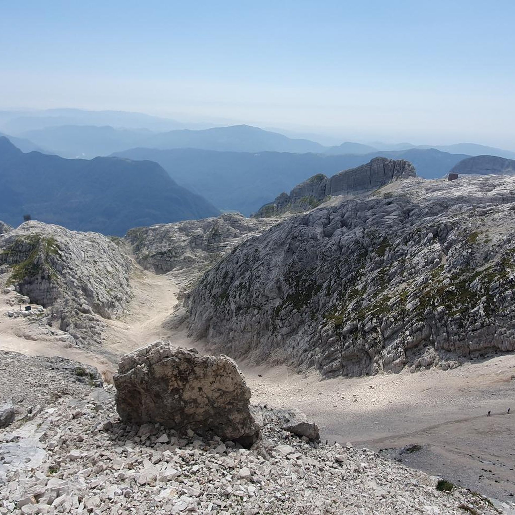
Running Trails around Parco naturale regionale delle Prealpi Giulie
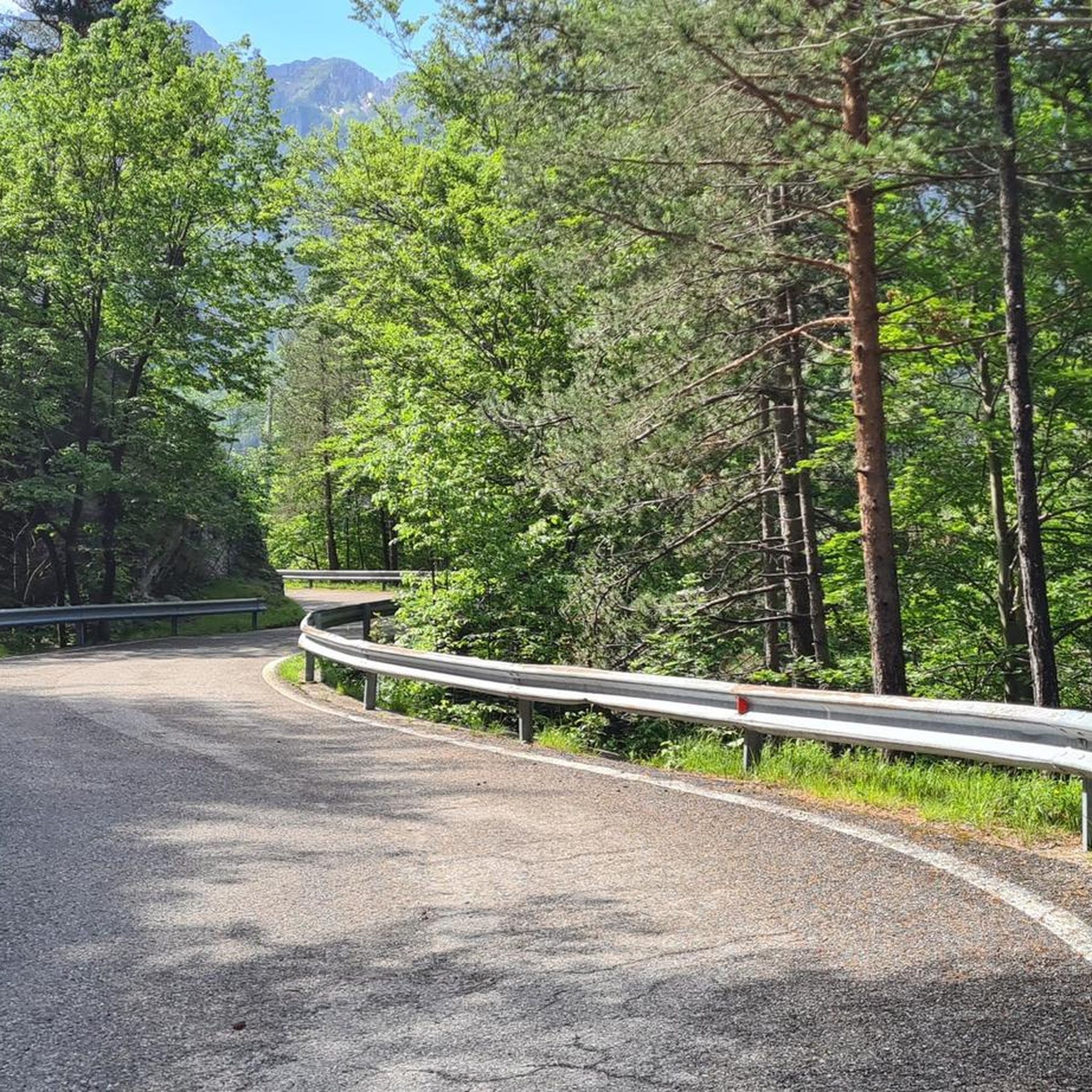
Running Trails around Dogna
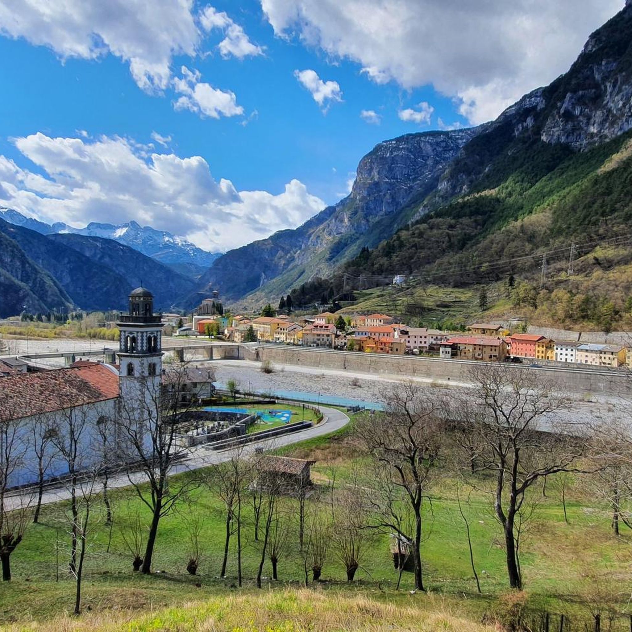
Running Trails around Chiusaforte
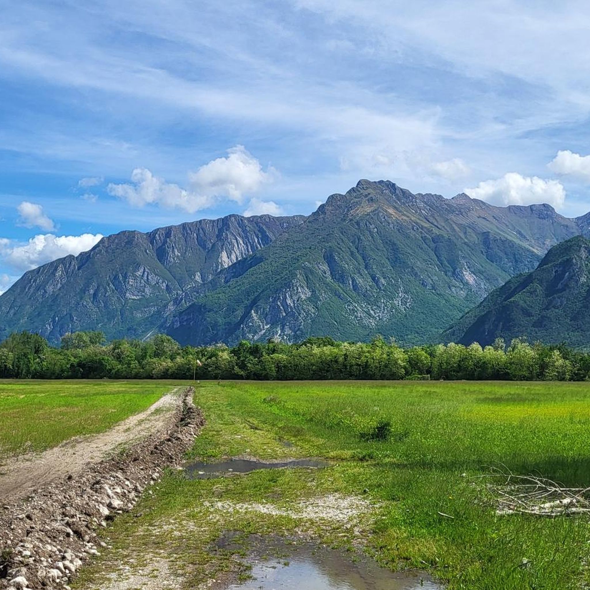
Running Trails around Bordano
Other adventures in Udine


Tips from the Community

Easily accessible from the road in about 5-10 minutes, either via the small waterfall below (turn-off before the left curve on the meadow) or via the forest (turn-off at the signpost). Don't be confused by the sign at the lower turn-off. It only points to the lower waterfall, but both - the upper, large waterfall and the lower waterfall - are accessible from here.
0
0

The Rifugio is currently closed
1
0

From the viewpoint the path is narrow! Be careful
0
0

Beautiful refuge with the possibility of staying overnight and eating, it is in fact the seat of an agriturismo.
0
0

The beautiful Lambertenghi-Romanin refuge is currently closed for renovation. Located at an altitude of 1955 meters, just before the saddle overlooking WolayerSee, it is an excellent base on the Italian side for the ascent to Cima Coglians and the Carnic traverse.
0
0

Super good, helpful and hardworking managers, young people who are committed and should be rewarded
0
0
Malga Confin, 1331 meters. In summer this refuge functions as a farmhouse.
0
0
Frequently Asked Questions
How many running routes are available in Udine?
Udine offers a vast network of running trails, with over 2,200 routes documented on komoot. This includes a diverse range from easy city park loops to challenging mountain runs in the surrounding Alps.
Are there easy or beginner-friendly jogging routes in Udine?
Yes, Udine provides many easy and beginner-friendly running options. Within the city, parks like Parco Moretti and Giovanni Pascoli Park offer well-maintained, flat pathways perfect for a relaxed jog. There are over 170 easy routes available in the region.
What are some good options for long-distance or challenging trail running in the Udine area?
For those seeking longer distances and challenging terrain, the province of Udine, particularly the Julian and Carnic Alps, offers numerous difficult routes. Examples include the Monte Zaiavor — loop hike in the Prealpi Giulie Natural Park, which is over 17 km long, or the Bila Pec and Rifugio Gilberti Loop, stretching nearly 20 km with significant elevation gains.
Can I find circular jogging paths in Udine?
Absolutely. Many of Udine's running routes are designed as circular paths, allowing you to start and finish at the same point. For example, the Passo Sella Sissanis and Lago Bordaglia — ring tour offers a challenging loop with stunning mountain and lake views.
Are there any running routes with scenic viewpoints or landmarks?
Udine's routes are rich in scenic beauty. You can enjoy panoramic views in the Alps on trails like the Mount Osternig — ring tour in the Carnic Alps. Within the city, Parco Moretti features sunburst paths leading to a central fountain, providing a picturesque backdrop for your run. The Lake Avostanis loop also offers beautiful alpine lake views.
What do other runners say about jogging in Udine?
The running routes in Udine are highly regarded by the komoot community, holding an average rating of 4.3 out of 5 stars from over 660 reviews. Runners frequently praise the diverse landscapes, from accessible city parks to the challenging and rewarding mountain trails.
Are there any historical sites or natural attractions along the running routes?
Yes, several routes offer glimpses of historical sites and natural wonders. For instance, the Julius Kugy Three Countries Trail passes by WWI historical sites. You can also find natural attractions like the Fontanone di Goriuda waterfall or explore the Osoppo Fortress and San Rocco Hill near some trails.
Are there dog-friendly running trails in Udine?
Many of Udine's natural spaces and parks are welcoming to dogs, provided they are kept on a leash. Parco del Cormor, known as the 'green lung of the city,' is a vast park with ample space for you and your canine companion to enjoy a run. Always check local signage for specific rules regarding pets in natural reserves.
Which parks in Udine are best for a city run?
For a city run, Parco Moretti is a central hub with well-maintained pathways and outdoor workout equipment. Parco del Cormor offers a vast green space with various paths, ideal for sports activities, and Giovanni Pascoli Park provides a tranquil setting for a peaceful jog.
Are there running routes near lakes in the Udine region?
Yes, the Udine region features beautiful lakes that offer scenic running opportunities. The Lake Avostanis loop is a prime example, providing stunning views of the lake and surrounding alpine environment. Cavazzo Lake is also a notable natural feature in the broader province.
What is the best time of year for running in Udine?
The best time for running in Udine largely depends on your preference. Spring and autumn offer pleasant temperatures for both city park runs and mountain trails. Summer is ideal for higher altitude routes in the Alps, while city parks remain accessible. Winter can bring snow to the mountainous areas, offering a different challenge for trail runners.
Are there any routes that combine natural beauty with historical significance?
Indeed. The Julius Kugy Three Countries Trail is a great example, blending natural beauty with historical significance as it passes by WWI historical sites, offering a unique running experience.
Most popular routes in Udine
Most popular attractions in Udine

Get inspired with the komoot mobile app


Didn’t find what you were looking for?
Check out more Running Trails & Routes throughout Udine below and find the perfect route in your destination.
Explore more
Browse the best Running Trails & Routes in other regions.
