The best walks and hikes around Oresmaux
4.7
(75)
550
hikers
68
hikes
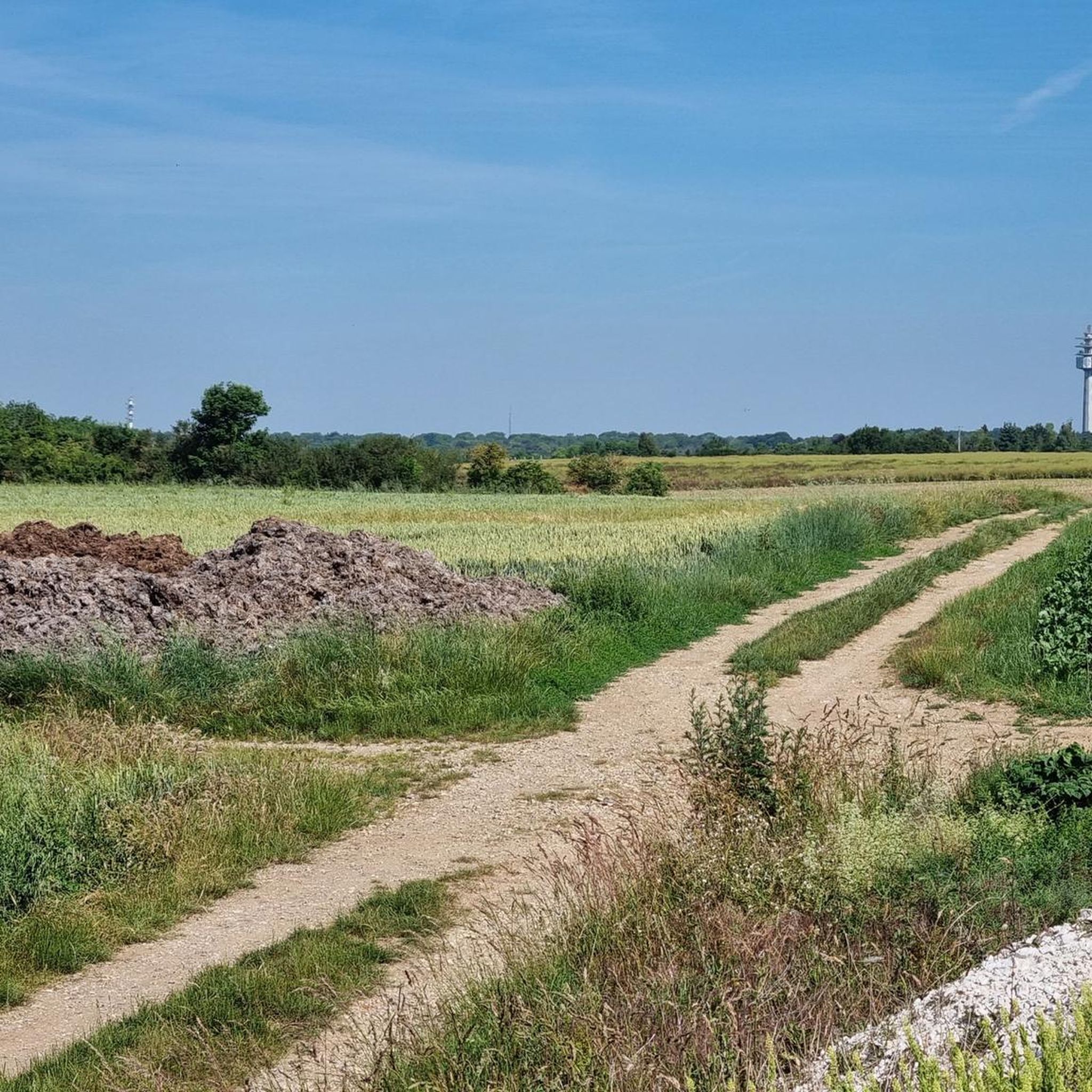
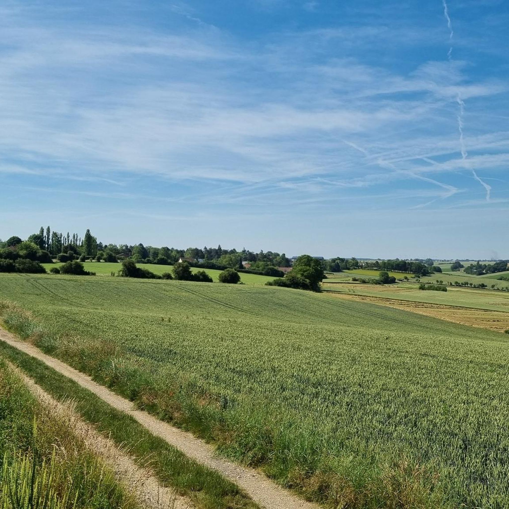
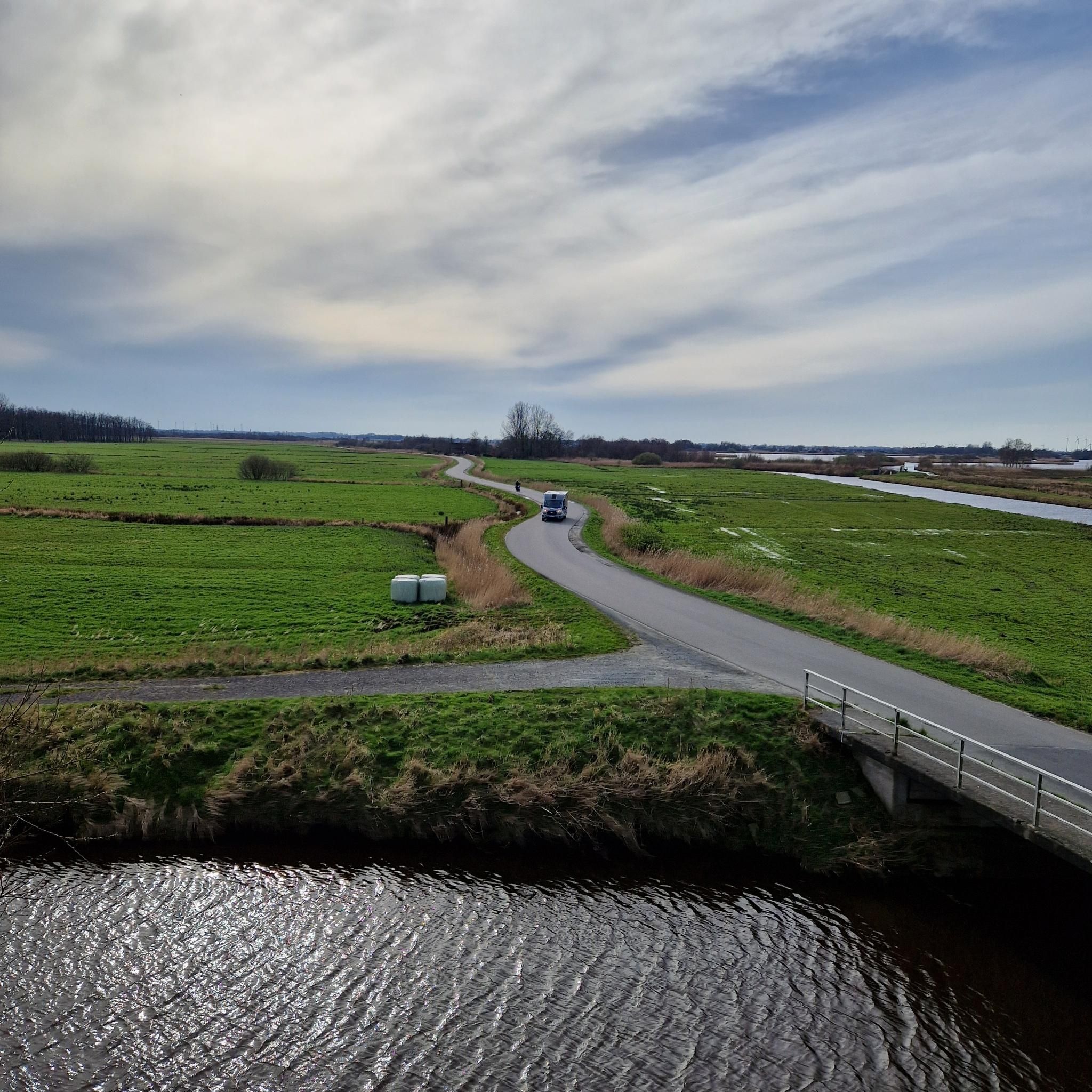
Hiking around Oresmaux offers routes through a landscape characterized by gentle hills, agricultural fields, and small woodlands. The region features a network of paths that often connect rural villages, historical sites, and natural water features like ponds. Elevations are generally low, providing accessible terrain for various hiking abilities.
Best hiking trails around Oresmaux
- The most popular hiking route is Étang de Berny – Berny Pond loop from Ailly-sur-Noye, a 6.2 miles (10.1 km) trail that takes 2 hours 42…
Last updated: June 25, 2026
4.3
(4)
17
hikers
10.1km
02:42
120m
120m
Moderate hike. Good fitness required. Easily-accessible paths. Suitable for all skill levels.
5.0
(2)
11
hikers
16.3km
04:17
140m
140m
Moderate hike. Good fitness required. Easily-accessible paths. Suitable for all skill levels.

Sign up for free
5.0
(1)
13
hikers
6.86km
01:49
60m
60m
Easy hike. Great for any fitness level. Easily-accessible paths. Suitable for all skill levels.
4.7
(3)
8
hikers
11.8km
03:02
60m
60m
Moderate hike. Good fitness required. Easily-accessible paths. Suitable for all skill levels.
1
hikers
9.65km
02:36
120m
120m
Moderate hike. Good fitness required. Easily-accessible paths. Suitable for all skill levels.
Get access to more routes and recommendations from other explorers.
Sign up for free
Already have an account?
Our route recommendations are based on thousands of hikes, rides, and runs completed by other people on komoot.
Start today with a free account
Your next adventure awaits.
Login or Signup

Tips from the Community


For the technicians, in the middle of nature around large fish bees
0
0

Body of water for fishermen 🎣 Pedalos in summer 🚣♀️ Children's playground👨👨👦👦 Picnic with tables 🧺 Bar open on sunny days ☀️🍦🍨 Mini-golf ⛳
1
0
Frequently Asked Questions
How many hiking trails are available around Oresmaux?
There are over 60 hiking routes available around Oresmaux, offering a variety of experiences from easy strolls to more challenging treks. The komoot community has explored these paths over 500 times.
What kind of landscape can I expect when hiking near Oresmaux?
Hiking around Oresmaux features a landscape of gentle hills, expansive agricultural fields, and serene small woodlands. You'll often find paths connecting charming rural villages, historical sites, and natural water features like ponds. The terrain generally has low elevations, making it accessible for various hiking abilities.
Are there any easy hiking trails suitable for beginners in Oresmaux?
Yes, Oresmaux offers a good selection of easy trails. For instance, the Memorial stone – School camp loop from Hébécourt is an easy 4.3-mile (6.9 km) route that takes about 1 hour 49 minutes to complete, leading through local points of interest and rural paths.
Are there any circular hiking routes around Oresmaux?
Many of the trails around Oresmaux are circular, allowing you to start and end at the same point. A popular option is the Étang de Berny – Berny Pond loop from Ailly-sur-Noye, which is 6.2 miles (10.1 km) long and circles a notable pond.
What are some interesting landmarks or attractions I can see along the trails?
The region around Oresmaux offers several points of interest. You might encounter historical sites like the Château de Prouzel or natural areas such as the Saint-Ladre Pond Nature Reserve. The Saint-Vaast Church – Abandoned Railway Bridge loop from Lœuilly specifically combines historical landmarks with rural scenery.
Are there any dog-friendly hiking trails in Oresmaux?
Many of the rural paths and woodland trails around Oresmaux are suitable for hiking with dogs, provided they are kept under control. The general landscape of fields and small forests offers plenty of opportunities for walks with your canine companion. Always check local regulations regarding dogs in specific nature reserves or private lands.
What is the typical duration of hikes in Oresmaux?
Hiking durations in Oresmaux vary significantly. You can find shorter walks like the Memorial stone – School camp loop from Hébécourt, which takes under 2 hours, or longer routes such as the Saint-Vaast Church – Abandoned Railway Bridge loop from Lœuilly, which can take over 4 hours to complete.
Are there any family-friendly hiking options in the Oresmaux area?
Yes, the gentle terrain and low elevations make many trails around Oresmaux suitable for families. Easy routes like the Memorial stone – School camp loop from Hébécourt are great for walks with children, offering manageable distances and interesting local sights without strenuous climbs.
Is parking available near the hiking trailheads in Oresmaux?
Parking availability varies by trailhead. Many rural villages and starting points for popular loops often have designated parking areas or roadside parking options. It's advisable to check specific route details on komoot for information on parking at the start of your chosen hike.
What do other hikers enjoy most about hiking in Oresmaux?
The area is highly rated by the komoot community, with an average score of 4.8 stars from over 60 reviews. Reviewers often praise the quiet rural paths, the blend of agricultural scenery with small woodlands, and the accessibility of the trails for various fitness levels. The presence of natural water features and historical landmarks also adds to the enjoyment.
Can I find any trails that pass by an abandoned railway bridge?
Yes, the Abandoned Railway Bridge – Saint-Vaast Church loop from Lœuilly is a moderate 7.3-mile (11.8 km) route that specifically features an abandoned railway bridge, offering a unique historical element to your hike.
Are there any trails that explore local châteaux or castles?
You can explore routes that pass by local historical estates. For example, the Château de Bacouel-sur-Selle loop from Plachy-Buyon is a moderate 6.3-mile (10.1 km) hike that takes you near the Château de Bacouel-sur-Selle, offering a glimpse into the region's heritage.
Most popular attractions around Oresmaux

Get inspired with the komoot mobile app


Explore more
Browse the best Hikes in other regions.
