The best walks and hikes around Fajac-En-Val
4.6
(153)
1,168
hikers
67
hikes
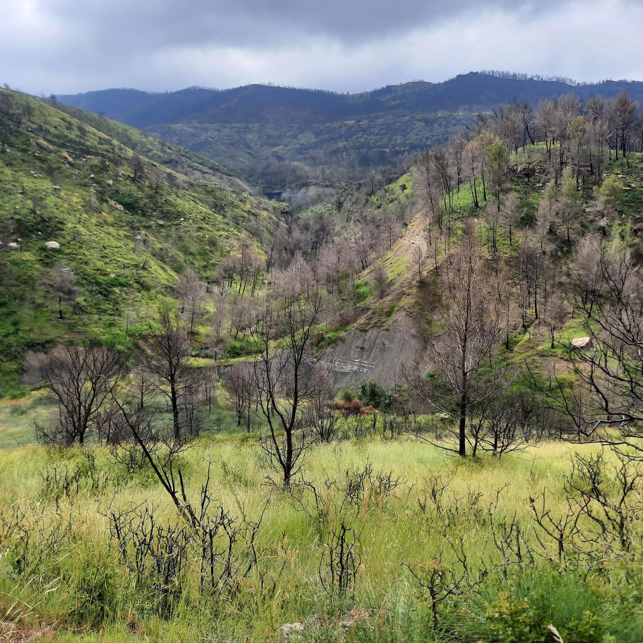
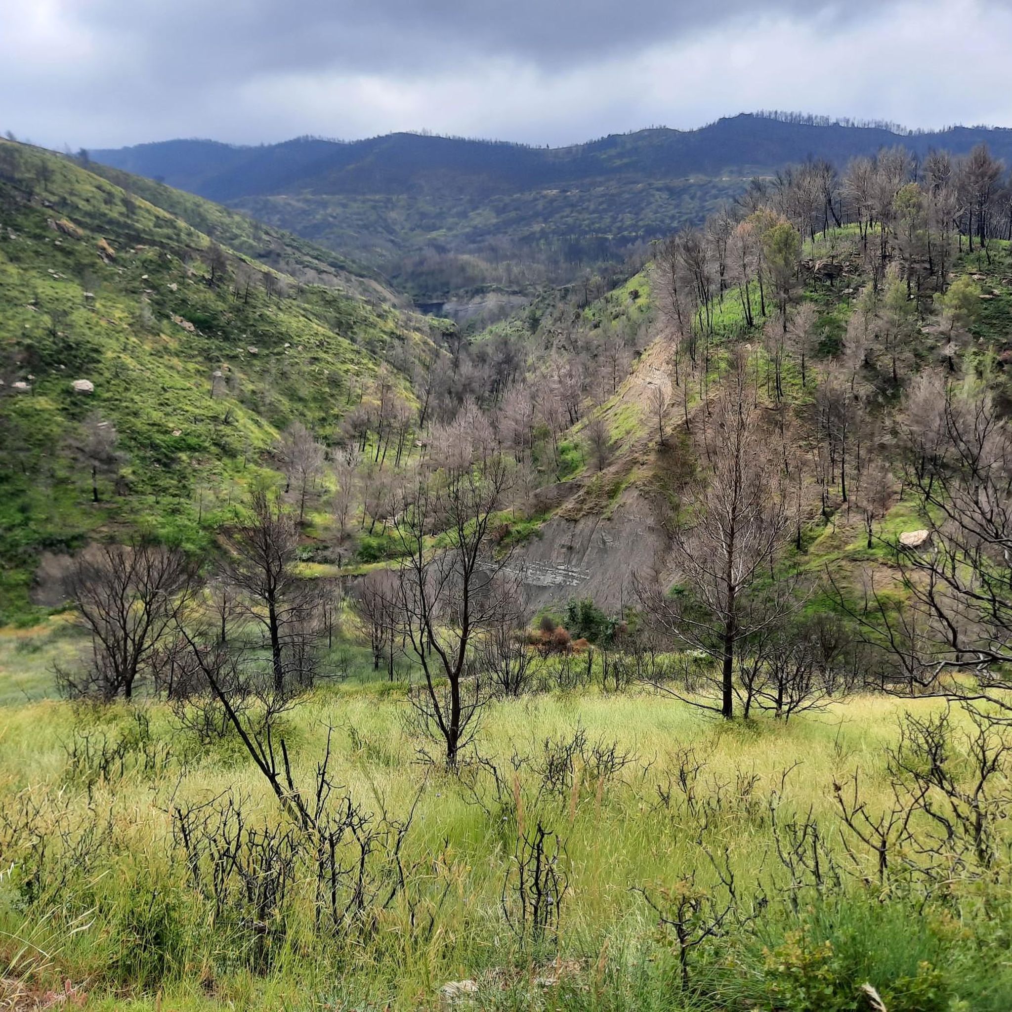
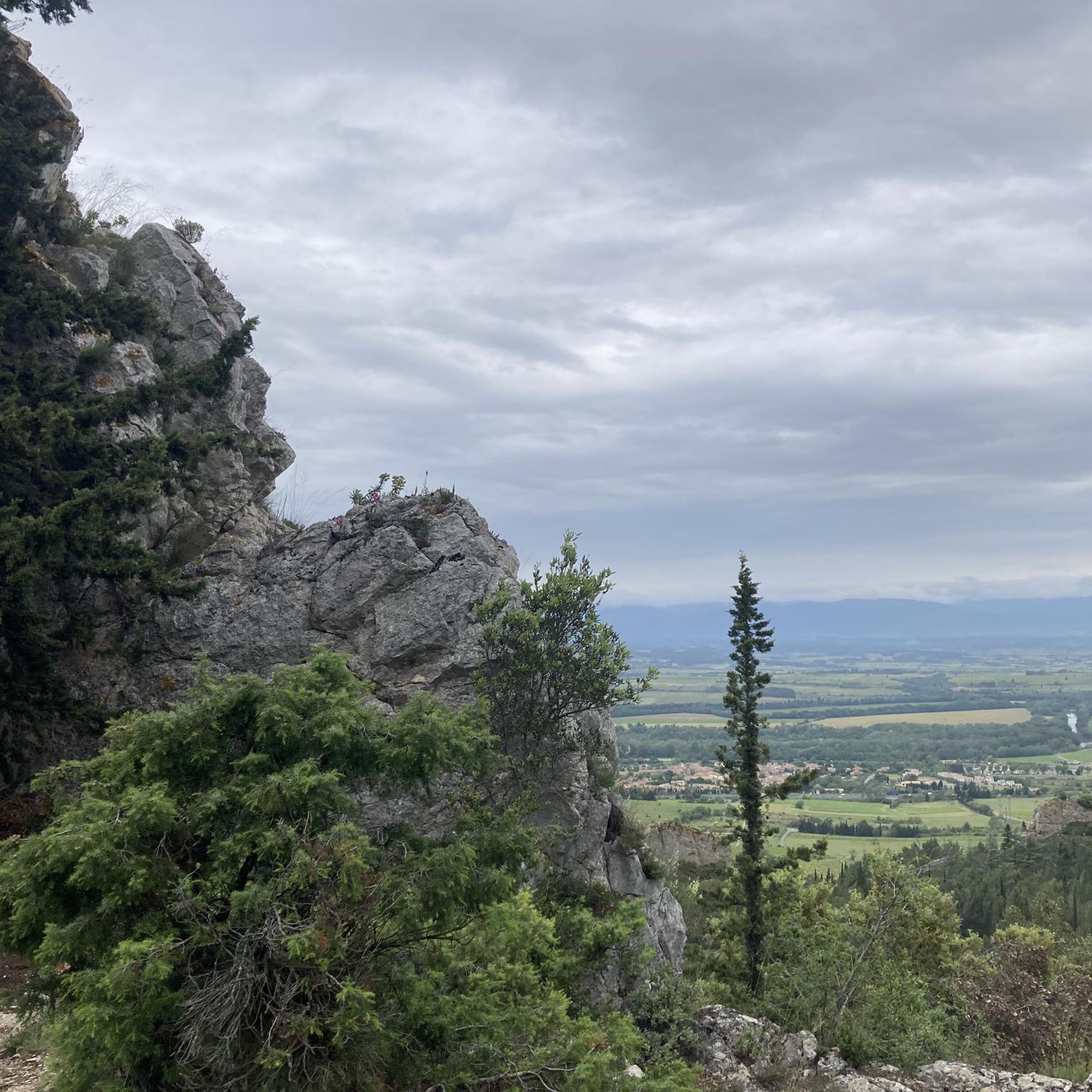
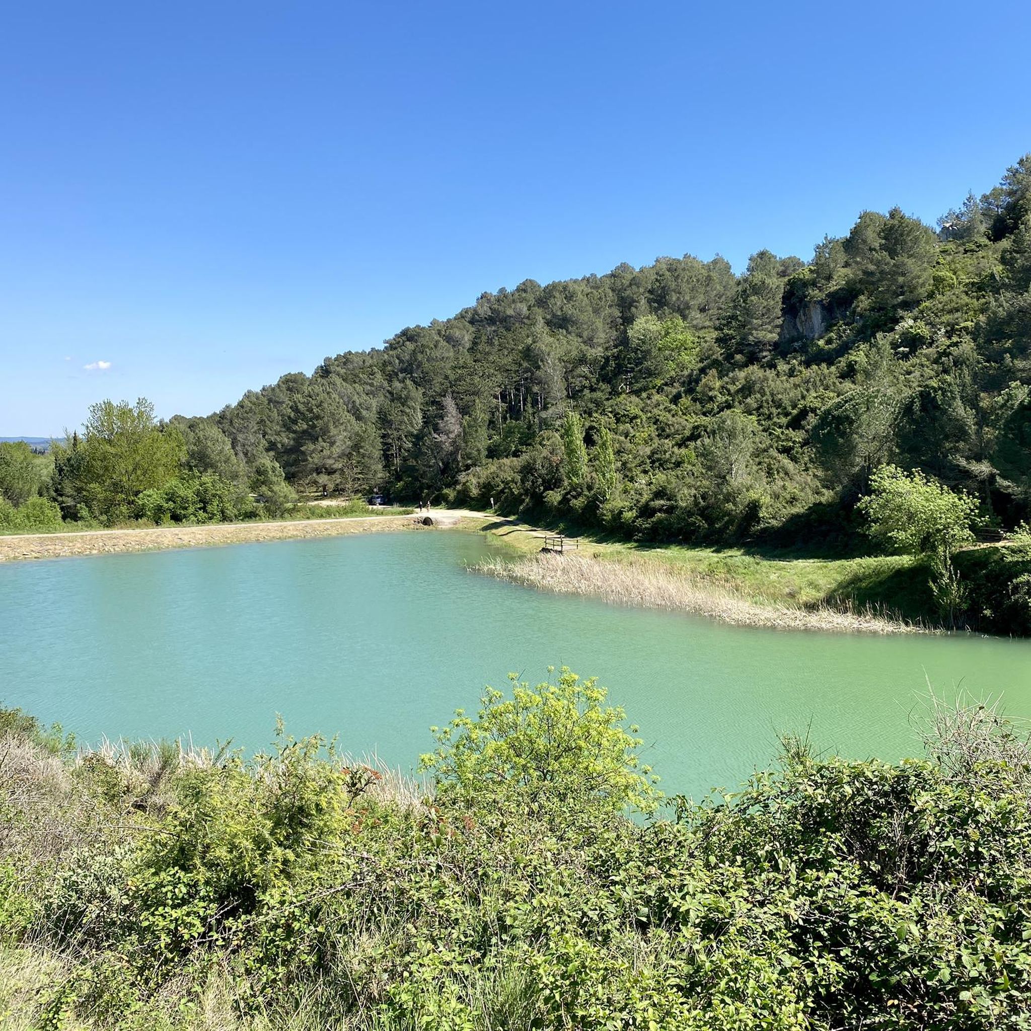
Hiking around Fajac-En-Val offers diverse landscapes, including plateaus, rocky spurs, and the foothills of the Corbières massif. The region is characterized by a mix of garrigue, communal forests with beech and oak trees, and state-managed forests featuring fir and cedar. Hikers can experience varied terrain, from erosion-worn flanks and ridges to vineyards, providing extensive views of surrounding valleys and distant mountains like the Montagne Noire and Pyrénées. Some routes also follow the course of the River Aude.
Best hiking trails…
Last updated: October 21, 2026
4.8
(11)
20
hikers
11.3km
03:26
360m
360m
Moderate hike. Good fitness required. Mostly accessible paths. Sure-footedness required.
4.7
(3)
12
hikers
5.25km
01:37
160m
160m
Moderate hike. Great for any fitness level. Mostly accessible paths. Sure-footedness required.

5.0
(8)
23
hikers
10.9km
03:22
390m
390m
Moderate hike. Good fitness required. Easily-accessible paths. Suitable for all skill levels.
4.7
(3)
9
hikers
5.48km
01:37
160m
160m
Easy hike. Great for any fitness level. Easily-accessible paths. Suitable for all skill levels.
3.0
(1)
10
hikers
7.53km
02:09
180m
180m
Moderate hike. Good fitness required. Easily-accessible paths. Suitable for all skill levels.
Get access to more routes and recommendations from other explorers.
Already have an account?
Our route recommendations are based on thousands of hikes, rides, and runs completed by other people on komoot.
Start today with a free account
Your next adventure awaits.
Tips from the Community

Great B&B with a swimming pool. We stayed there on our long-distance hike from Tarifa/Spain to Switzerland and can highly recommend the accommodation.
4
0

These limestone mushrooms from the beginning of the Tertiary era constitute real geological curiosities. There are four Giant Clams in the Alaric Forest, all located in the same place.
1
0

At the south-west end of the village, an old 13th century bridge spans the Bretonne, its purity is worth a detour (text Mairie Monze)
1
0

.Remarking of the PR by the CPMarseillette on July 04, 2023.Trail from the Tour de Matelbine to the tarmacked part, completely overgrown with vegetation.
0
0
Marking of the PR Tour de Matelbine by the Marseillette Pedestrian Club (CPM).
0
0

Frequently Asked Questions
How many hiking trails are available in Fajac-En-Val?
There are over 50 hiking routes around Fajac-En-Val, offering a diverse range of experiences. These include easy strolls, moderate paths, and a few more challenging ascents.
What kind of terrain can I expect on hikes around Fajac-En-Val?
The terrain around Fajac-En-Val is quite varied. You'll find a mix of garrigue, communal forests with beeches and oaks, and state forests featuring firs and cedars. Many trails traverse vineyards and gorse, and you can expect rocky spurs and ridges that offer extensive views.
Are there any easy hiking trails suitable for beginners or families?
Yes, Fajac-En-Val offers several easy hiking trails. For example, the Tour of Lac de la Cavayère is an easy 4.8 km route that takes about 1 hour 15 minutes to complete, perfect for a relaxed outing with scenic lake views.
Can I find circular hiking routes in Fajac-En-Val?
Yes, many of the trails in the region are circular, allowing you to start and end at the same point. A popular moderate circular route is the Les Bénitiers – Domaine Marselan loop from Monze, which covers 11.7 km through vineyards and forests.
What are some notable viewpoints or natural features to look out for?
The region is rich in natural beauty and viewpoints. The Plateau de Lacamp offers extensive views, including the distant Montagne Noire and the Pyrenees. You can also ascend to the Milobre de Bouisse for unforgettable panoramas, or explore the rocky spur of Cabano Naouto near Pradelles-En-Val.
Are there any interesting attractions near the hiking trails?
While hiking, you can explore several nearby attractions. Consider visiting the historic Count's Castle, or the impressive Stained-glass windows of the Basilique Saint-Nazaire. The Canal du Midi between Trèbes and Carcassonne also offers picturesque spots.
What is the best time of year to go hiking in Fajac-En-Val?
Fajac-En-Val is enjoyable for hiking throughout much of the year. Spring and autumn offer pleasant temperatures and vibrant landscapes, with vineyards changing colors. Summers can be warm, making early morning or late afternoon hikes preferable, especially on shaded forest trails.
Are the hiking trails in Fajac-En-Val dog-friendly?
Many trails in Fajac-En-Val are suitable for dogs, especially those through forests and open countryside. However, it's always advisable to keep dogs on a leash, particularly near livestock or in protected natural areas, and to check local regulations for specific routes.
Is there public transport access to the hiking trailheads?
Public transport options directly to many remote trailheads in Fajac-En-Val can be limited. It is generally recommended to travel by car to access the starting points of most hiking routes in the area. Some larger towns nearby may offer bus services, but connections to specific trailheads might require planning.
Where can I park when hiking in Fajac-En-Val?
Parking is typically available in or near the villages that serve as starting points for hikes, such as Monze or Barbaira. Look for designated parking areas or roadside spots where permitted. Always ensure you park responsibly and do not obstruct local access.
What do other hikers say about the trails in Fajac-En-Val?
The hiking routes in Fajac-En-Val are highly rated by the komoot community, with an average score of 4.6 stars from over 100 reviews. Hikers often praise the diverse landscapes, the quiet atmosphere of the woodlands, and the beautiful panoramic views from plateaus and ridges.
Are there any longer, more challenging hikes for experienced hikers?
Yes, for more experienced hikers, there are a few challenging routes. While most trails are easy to moderate, some ascents to plateaus like the Plateau de Lacamp can be more demanding, offering longer distances and greater elevation changes. For example, the Ii89 van ou9⁹o⁹9844li8h4 loop from Montlaur is a moderate 11.8 km route with significant elevation gain.
Are there any specific trails that showcase the vineyards of the region?
Absolutely. The landscape around Fajac-En-Val is rich with vineyards. The "Le sentier de la feuille" (The Leaf Trail) circuit, for instance, is specifically shaped like a leaf and references the vineyards it crosses, connecting villages like Serviès-en-Val and Rieux-en-Val.
Most popular routes around Fajac-En-Val
Most popular attractions around Fajac-En-Val

Get inspired with the komoot mobile app


Explore more
Browse the best Hikes in other regions.
