Routes

Planner

Features

Updates

App

Login or Signup

Get the App

Login or Signup

Routes
Running Trails
Italy

Piedmont

The best running trails in the Piedmont

4.4

(4060)

174,706

runners

11,230

runs

Jogging in the Piedmont region offers diverse landscapes, from the foothills of the Alps to the Po Valley. The terrain includes picturesque valleys, gentle hillsides, and routes around scenic lakes. This varied topography provides a range of running experiences, from flat paths to more challenging ascents. The region's natural features, including national parks and vineyards, contribute to a varied environment for outdoor activity.

Best jogging routes in the Piedmont

  • The most popular jogging route is Crown of Delights Trail, a 7.9 miles (12.7 km) trail that takes 1 hour 22 minutes to complete. This moderate route winds through varied landscapes, offering a pleasant running experience.
  • Another top favourite among local runners is Torino Trail, a difficult 8.1 miles (13.0 km) path. This route features significant elevation gain, providing a challenging run with expansive views.
  • Local runners also love the Lago di Mergozzo - Ring tour, a 5.0 miles (8.0 km) trail leading through lakeside scenery, often completed in about 59 minutes.
  • Jogging in the Piedmont is defined by alpine foothills, river valleys, and tranquil lake circuits. The extensive network of running routes offers options for various ability levels, from easy loops to difficult mountain trails.
  • The routes in Piedmont are highly rated by the komoot community with an average score of 4.4 stars from more than 3,500 reviews. More than 160,000 runners have used komoot to explore Piedmont's varied terrain.

Last updated: July 7, 2026

4.3

(31)

1,039

runners

#1.

Crown of Delights Trail

12.7km

01:23

100m

100m

Embark on the Crown of Delights Trail for a moderate jogging experience that blends urban views with natural serenity. This route spans 7.9 miles (12.7 km) and includes a manageable 318 feet (97 metres) of elevation gain, typically taking about 1 hour and 22 minutes to complete. You will find yourself jogging along the tranquil Po river, enjoying the calming flow of the water before ascending towards Monte dei Cappuccini. From this vantage point, you can take in sweeping views of Turin's cityscape and the distant Alps, offering a rewarding visual contrast to the riverside paths.

Planning your visit is straightforward, as you can easily reach the starting point near the Po river jogging path in Turin using public transport. The trail offers a diverse running surface, with predominantly paved sections complemented by areas of gravel and natural paths. You will appreciate the shaded stretches along the river, which provide a comfortable environment, especially during warmer weather. Consider an early morning or late afternoon jog to best enjoy the cooler temperatures and softer light.

This trail is notable for its unique combination of riverside tranquility and elevated city panoramas. As you jog, you will pass significant landmarks like the Arch of Valentino and catch glimpses of the iconic Mole Antonelliana. The climb to Monte dei Cappuccini rewards you with spectacular viewpoints, allowing you to see Turin's skyline and, on clear days, the majestic Monviso in the Alps. It is an excellent option if you are looking for a varied run that showcases both the natural beauty and urban charm of the region.

Navigate with device

Send to Phone

Save

Moderate

4.5

(13)

613

runners

13.0km

01:45

450m

450m

If you're looking for a challenging jogging experience, the Torino Trail delivers with its varied terrain and ascents into the Torino Hills. This difficult 8.1-mile (13.0 km) path features scenic views, including landscaped areas and connections to historical sites, and can take around 1 hour and 44 minutes to complete. You'll gain 1488 feet (454 metres) in elevation, making it a demanding run. The route offers glimpses of the broader Turin landscape, with potential distant views of the Alps on clear days.

The Torino Trail is a top favorite among local runners, known for its quality as a running destination. While specific access points are not detailed, the trail is situated within the Turin area, which offers diverse running environments. You can expect well-maintained paths and varied terrain suitable for jogging. Plan your visit to enjoy the extensive green spaces and tree-lined avenues that characterize the broader running environment in Turin.

This trail stands out as a top favorite for local runners, highlighting its popularity and the quality of the jogging experience it provides. Turin generally offers a wide array of running options, praised for its varied terrain, scenic views, and well-maintained paths. The Torino Trail specifically contributes to this reputation by offering a demanding route through the hills, connecting you with both natural beauty and historical elements of the region.

Hard
guide_signup
Let us show you the way with the komoot mobile app
With a free komoot account, you can easily find, customize, and navigate endless outdoor adventures.

Sign up for free

3.8

(52)

541

runners

The Lago di Mergozzo - Ring tour offers a serene jogging experience around one of Italy's cleanest lakes. You'll follow the "Sentiero Azzurro," a mix of paved paths and natural sections through woods and pastures, enjoying continuous views of Lago di Mergozzo and Montorfano. This moderate 5.0-mile (8.0 km) route involves about 581 feet (177 metres) of elevation gain and typically takes around 59 minutes to complete. As you jog, you'll pass through rocky chestnut forests, where you might spot ancient ruins, and enjoy shaded sections along the way. The path provides ample space for pedestrians on its lakeside promenade, ensuring a peaceful run.

Planning your visit is straightforward, as the trail is generally accessible and suitable for most skill levels. The route is highly rated by the community, suggesting a consistently enjoyable experience. Since motorboats are not permitted on Lago di Mergozzo, you can expect a tranquil environment free from noise pollution. The trail is well-maintained, offering a mix of surfaces from paved to gravel and unpaved sections. Consider starting your jog in the morning or late afternoon to enjoy the best light and potentially cooler temperatures, especially during warmer months.

This route stands out for its exceptionally clean waters and the peaceful atmosphere created by the absence of motorboats. As you jog, you'll encounter historical elements, including ancient mule tracks and Romanesque churches like the Church of San Giovanni Battista in Montorfano. The trail also passes by Montorfano, a granite mountain, where information panels explain the geological history of the area and the techniques used for quarrying granite, some of which contributed to Milan's Duomo. From certain points, you can even catch glimpses of Lake Maggiore and the Borromean Islands, adding to the scenic beauty.

Moderate

4.7

(10)

238

runners

Jog around Lake Ceresole Reale for a moderate 4.9-mile (7.8 km) route that takes about 57 minutes to complete, with an elevation gain of 325 feet (99 metres). You will experience varied terrain, from accessible paths to gentle ascents and descents, all while surrounded by the majestic mountains reflecting in the lake's clear waters. The trail winds through larch and fir forests, offering the distinct scent of resin, and in some areas, rhododendron meadows.

This route is suitable for most joggers, with services like picnic areas, restrooms, and lakeside dining available for your convenience. While the main loop is generally easy to moderate, the area offers a broader network of trails if you seek more challenge. In warmer months, it is a popular spot for outdoor activities, but be aware that in winter, the path transforms into a cross-country skiing trail.

Lake Ceresole Reale is an artificial lake, created in 1925 by damming the Orco stream, and is part of a complex of six dams powering hydroelectric plants. Located within Italy's oldest national park, Gran Paradiso, the area provides an unspoiled natural environment where you might spot local wildlife like ibex, chamois, or marmots. The trail offers a peaceful experience, often less crowded than other alpine destinations, and provides excellent photographic opportunities of the surrounding peaks.

Moderate

4.5

(2)

172

runners

18.1km

03:20

1,170m

1,170m

The Zamboni Hut and Fairy Lake Loop is a difficult jogging route that takes you through varied alpine terrain, including larch forests and sections with glacier moraine. You will cover 11.3 miles (18.1 km) and gain a substantial 3830 feet (1167 metres) in elevation, typically taking around 3 hours and 20 minutes to complete. Along the way, you can expect rewarding views of the majestic Monte Rosa massif, often referred to as the 'Himalayas of Europe', before reaching the tranquil Lago delle Fate with its distinctive milky turquoise waters.

This demanding route requires very good fitness and sure-footedness, making it best suited for experienced trail runners or hikers. It is not recommended for casual jogging due to the significant elevation changes and technical sections. Make sure you are prepared with sturdy shoes and have some alpine experience before you set out. Planning your visit during favorable weather conditions is also crucial for a safe and enjoyable experience.

The trail's unique features include passing the welcoming Zamboni Zappa Hut and experiencing the dramatic scenery shaped by ancient glaciers. The Lago delle Fate, or Fairy Lake, is a highlight, nestled in a stunning mountainous backdrop. This loop provides a deep immersion into the natural environment of the region, showcasing its rugged beauty and challenging you with its alpine character.

Hard

5.0

(4)

119

runners

Embark on the Valsusa Trail — Ring tour, a difficult jogging route spanning 8.1 miles (13.1 km) with a significant elevation gain of 2566 feet (782 metres). This challenging loop, which typically takes around 2 hours and 15 minutes, offers a diverse terrain experience. You will navigate initial asphalted sections, demanding uphill stretches on old mule tracks, and technical mountain running segments, all while enjoying views of alpine landscapes and passing through charming hamlets.

This trail is best suited for experienced joggers and trail runners who are accustomed to mountain environments and varied surfaces. The climb towards the Sacra di San Michele on the "Vecchia Mulattiera" is particularly tough, requiring good physical fitness and sure-footedness. Starting and ending near the sports field in Chiusa di San Michele, the route is well-marked, especially given its association with the organized "Valsusa Trail" event.

Beyond the physical challenge, the Valsusa Trail offers a rich blend of history and culture. A major highlight is the passage by the Sacra di San Michele, a historic abbey perched on a mountain, providing a cultural and spiritual dimension to your run. The Susa Valley itself is steeped in history, connecting Italy and France with a legacy of ancient Roman presence and medieval developments, making this trail a unique journey through time.

Hard

Embark on a moderate jogging experience through the picturesque Val Troncea Natural Park, covering 6.1 miles (9.9 km) with an elevation gain of 458 feet (140 metres). This route, estimated to take about 1 hour and 12 minutes, guides you through lush forests and high-altitude meadows. You will follow the Chisone stream, enjoying panoramic views of the surrounding Cottian Alps and peaks like Monte Barifreddo, all within a distinctive U-shaped glacial valley.

This trail is accessible to all skill levels, featuring mostly paved surfaces alongside well-maintained dirt paths and gravel tracks. While there are some slight uphill sections, particularly within the larch forests, the stable terrain makes for a pleasant run. You can enjoy this route in all seasons, even finding it suitable for cross-country skiing during winter months.

The Val Troncea Natural Park is a protected area, established to preserve its unique environment and for educational purposes. As you jog, keep an eye out for diverse wildlife such as chamois, ibex, and marmots. You might also encounter historical elements like the ex-mulino di Laval and various information panels detailing the local flora and fauna, highlighting why this area is often called the "valley of flowers."

Moderate

5.0

(1)

94

runners

Start your jogging adventure with The Lakes of Avigliana — Ring tour, a moderate route that takes you around the scenic glacial lakes. You'll cover 5.1 miles (8.1 km) with a gentle elevation gain of 190 feet (58 metres), typically completed in about 52 minutes. Enjoy picturesque views of Lago Grande and Lago Piccolo, framed by dense forests and morainic hills. The terrain offers a pleasant mix of accessible paths, some paved sections, and gentle slopes, making for a varied and enjoyable run. Keep an eye out for distant panoramas of the Susa Valley and the majestic Susa Alps as you jog.

This route is part of the Avigliana Lakes Natural Park, located in Italy's Piedmont region. While many paths around the lakes are easily accessible, this moderate ring tour provides a good balance of effort and reward. The park is well-maintained, and you can expect clear signage. Consider visiting during milder weather to fully appreciate the natural beauty and avoid any extreme temperatures.

The Lakes of Avigliana are unique for their glacial origin and the protection offered by the natural park, preserving rich biodiversity. Lago Grande is notably one of the cleanest lakes in Piedmont, making the area a haven for various activities beyond jogging, including birdwatching around Lago Piccolo and the Mareschi wetland. The nearby medieval town of Avigliana also adds a cultural dimension to your visit, blending natural beauty with historical significance.

Moderate

Enjoy a delightful jogging experience on the Il Lago Sirio loop, offering continuous views of the clear, spring-fed waters. This easy 2.3-mile (3.8 km) route, with a minimal 138 feet (42 metres) of elevation gain, takes about 27 minutes to complete. You'll jog on a mix of asphalted roads, quiet country roads, and dirt tracks winding through lush woods. Keep an eye out for glimpses of the historic Montalto Dora Castle as you move through the picturesque landscape. The varied surfaces make for an interesting run, with sections of single-track adding to the natural feel.

The primary loop around Lake Sirio is easily accessible and well-marked, making navigation straightforward for all visitors. This route is suitable for all fitness levels and abilities, including families, due to its easy difficulty. The paths are generally well-maintained and consist of mostly paved surfaces around the lake, ensuring a smooth jogging experience. You can expect clear signage throughout the trail, helping you stay on course.

What truly sets this trail apart is the unique natural phenomenon known as the "Terre Ballerine," or "Dancing Lands." These elastic peatlands allow you to feel the ground literally move and bounce as you step on them, offering a memorable and fun experience. Lake Sirio itself is spring-fed, a distinct characteristic among the glacial lakes in the Riserva Laghi di Ivrea. The area's rich biodiversity and tranquil setting, combined with views of distant mountains, make it a popular choice for outdoor enthusiasts.

Easy

Embark on the "Running through the streets of Cuneo — Ring tour," a popular jogging route that takes you directly into the heart of the city. This moderate 3.6-mile (5.8 km) loop features a gentle 176 feet (54 metres) of elevation gain, making it a comfortable run you can complete in about 39 minutes. You'll jog along predominantly paved surfaces, passing through Cuneo's charming porticoed streets and past colorful palazzi, which give the city a distinct French feel. Keep an eye out for landmarks like Piazza Galimberti, bustling with shops and cafes, and historic churches such as the Sacro Cuore di Gesu.

While specific details on trailhead access or parking are not provided, this route is known for its convenience and accessibility, being a ring tour directly through the city streets. Its popularity suggests it's easily reachable for local joggers. The trail is suitable for all skill levels, though good fitness is recommended for the best experience. As an urban route, it's likely enjoyable at various times of day, offering different perspectives of Cuneo's vibrant atmosphere.

This trail stands out as Cuneo's most popular jogging route, offering a direct way to experience the city while getting your exercise. Its appeal is boosted by its accessible, paved terrain and moderate difficulty, making it a favorite among the local running community. The route's high ratings from over 690 reviews reflect its positive reception, highlighting its role in allowing 32,000 runners to explore Cuneo's trails. You'll also get glimpses of the surrounding natural beauty, as Cuneo sits uniquely between the Stura di Demonte and Gesso rivers, at the base of the Maritime Alps.

Moderate
Sign up for free to see 11,221 more runs in the Piedmont.

Get access to more routes and recommendations from other explorers.

Sign up for free

Already have an account?

Our route recommendations are based on thousands of hikes, rides, and runs completed by other people on komoot.

Start today with a free account

Your next adventure awaits.

Login or Signup

Popular around Piedmont

Running Trails in Torino
Running Trails in Verbano-Cusio-Ossola
Running Trails in Vercelli
Running Trails in Cuneo
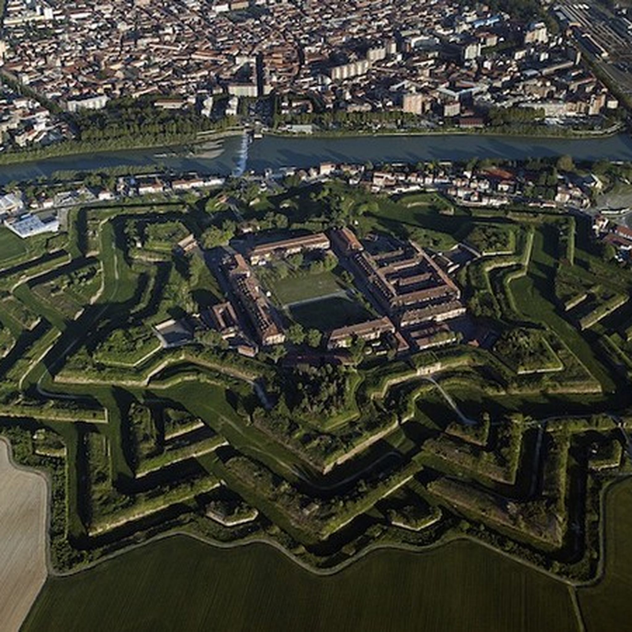
Running Trails in Alessandria
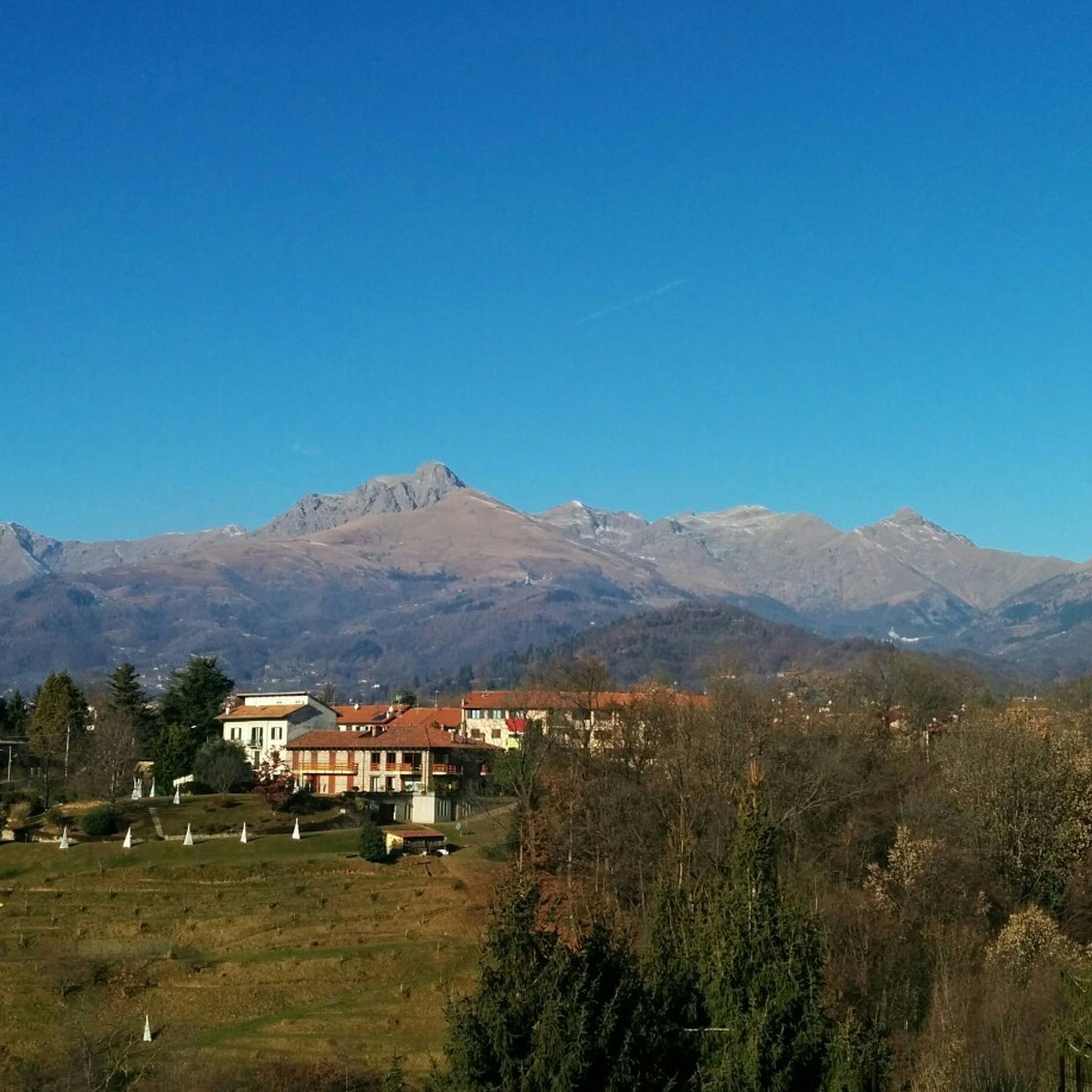
Running Trails in Biella
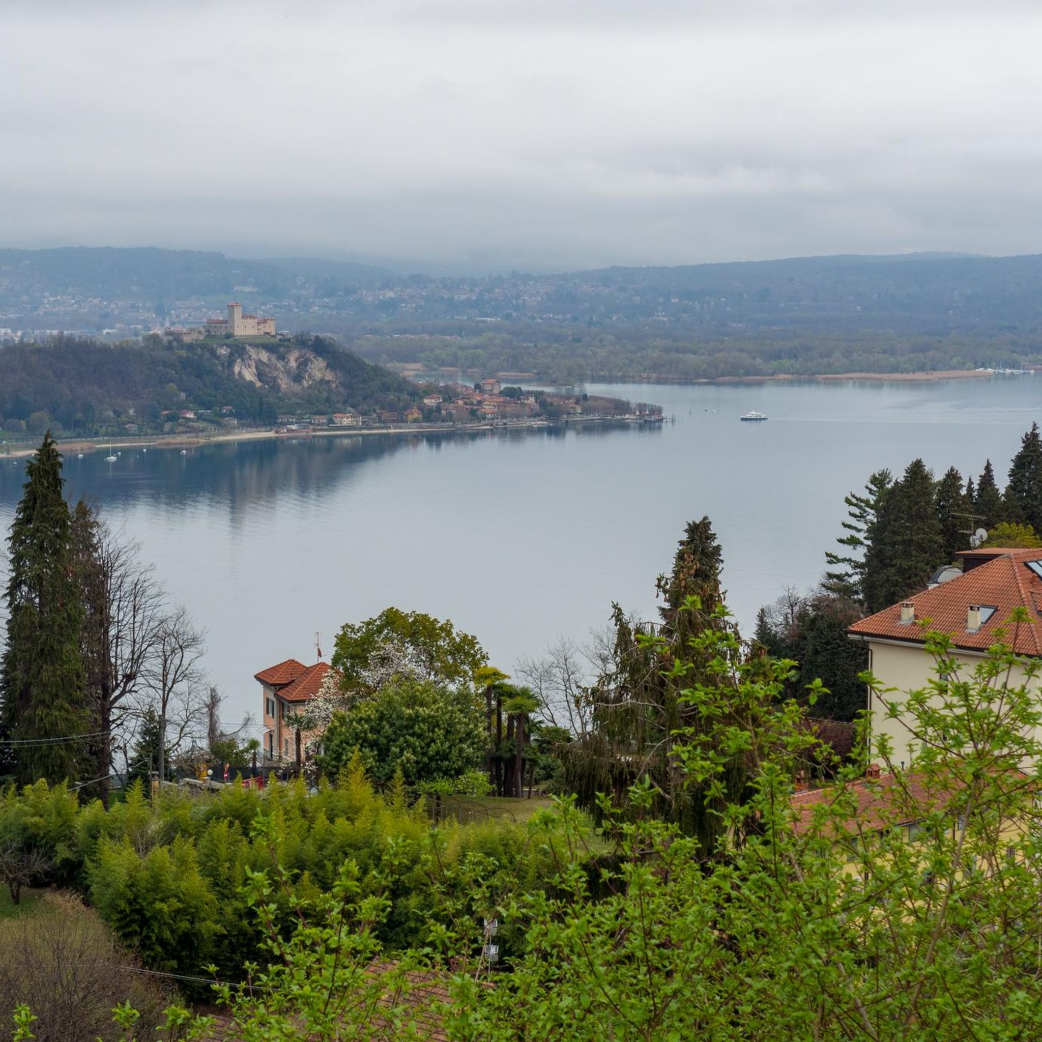
Running Trails in Novara
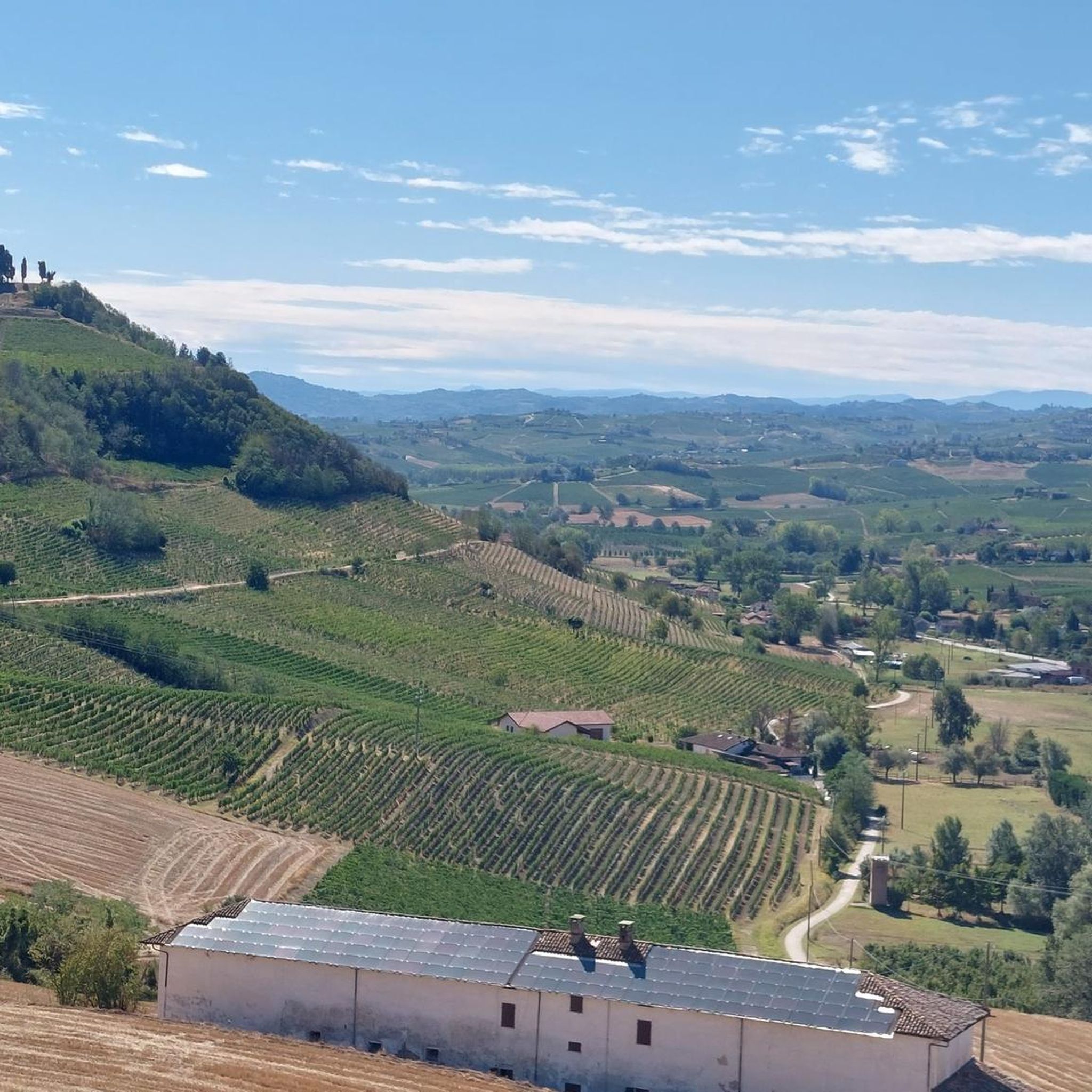
Running Trails in Asti
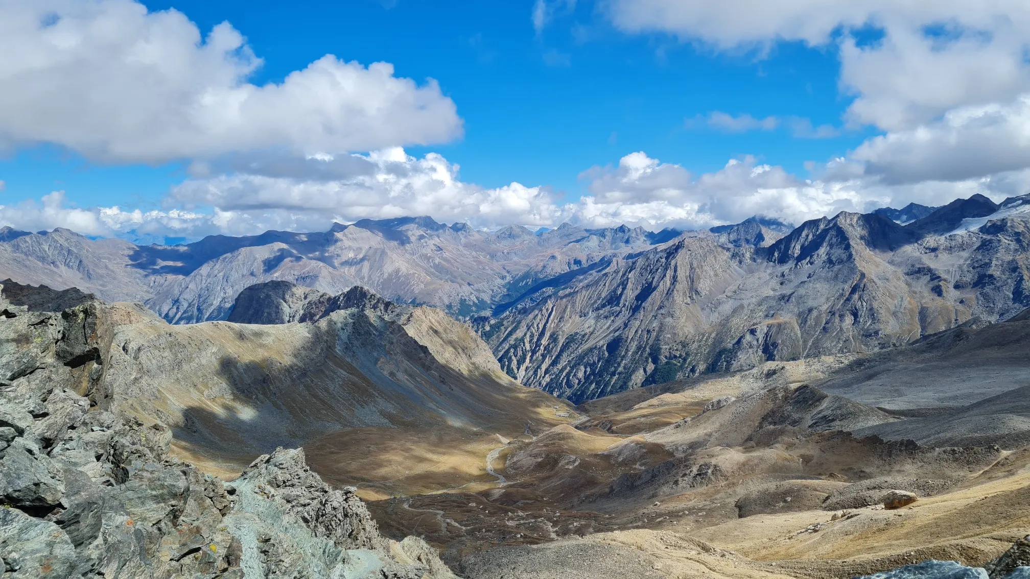
Giro del Gran Paradiso – A trail running adventure in the Italian Alps
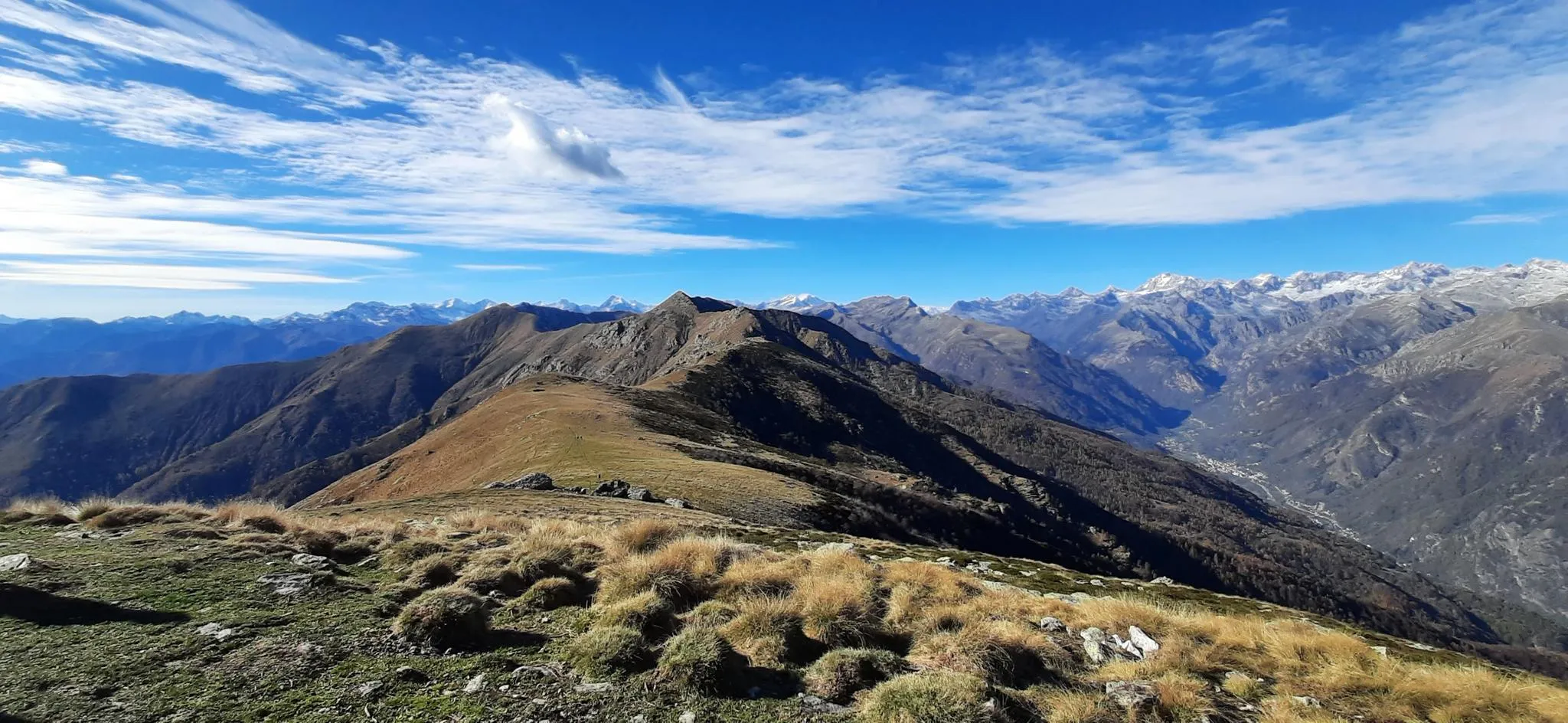
Trail running in Italy’s Orco Valley – Alta Via Canavesana

Other adventures in the Piedmont

Giro del Gran Paradiso – A trail running adventure in the Italian Alps

Running Collection by

Bryan | Exploro Ergo Sum

Tips from the Community

LucaOmarBergamasco
July 2, 2026, View of Turin from Monte dei Cappuccini

Great view of the city and the Alps from the square in front of the church of Monte dei Cappuccini.

Translated by Google

0

0

Monument to the Artilleryman, at the edge of Parco del Valentino. Interesting.

Translated by Google

0

0

An ideal spot to see the large Avigliana lake: a convenient stop, it offers spectacular views. You couldn't ask for more.

Translated by Google

0

0

Vincenzo DE SIMONE
January 31, 2026, Pragelato

starting point for various Alpine tours

Translated by Google

0

0

Lutrek
October 28, 2025, Pragelato

The path on the right bank of the Chisone is also interesting

Translated by Google

0

0

Alessandro
October 17, 2025, Lago delle Fate

Immersed in the Quarazza Valley

Translated by Google

0

0

The view is beautiful and at the foot of the Sacra di S. Michele

Translated by Google

0

0

Rest stop before tackling the final 8 km climb to Sestriere (2035 m). Eat some protein and remember to bring water. The climb is always exposed to the sun. The average gradient is 6%.

Translated by Google

0

0

Frequently Asked Questions

What types of terrain can I expect on running routes in the Piedmont region?

The Piedmont region offers a diverse range of running terrains. You'll find routes winding through the foothills of the Alps, along picturesque river valleys, and around tranquil lakes. The landscape includes gentle hillsides, vineyards, and sections within national parks, providing options from flat paths to more challenging ascents.

Are there running routes suitable for beginners or those looking for an easy jog?

Yes, the Piedmont region has numerous easy running routes. For example, the Il Lago Sirio – loop run in the Riserva Laghi di Ivrea is an easy 3.8 km (2.4 miles) route, perfect for a relaxed run. Overall, there are over 600 easy routes available in the region.

What are some scenic running routes that offer great views or landmarks?

Many routes in Piedmont offer beautiful scenery. The Lago di Mergozzo - Ring tour provides lovely lakeside views. For a run through a town with historical charm, consider Running through the streets of Cuneo — Ring tour. You can also find routes near natural monuments like the Giant's Kettles of the Toce or the Historic Fountain and Small Waterfall at Lake Mergozzo.

Are there any circular running routes in Piedmont?

Absolutely, many running routes in Piedmont are designed as loops. Popular options include the Lago di Mergozzo - Ring tour, the The Lakes of Avigliana — Ring tour, and the Il Lago Sirio – loop run in the Riserva Laghi di Ivrea. These circular paths are great for starting and ending your run in the same spot.

What is the average length and duration of running routes in Piedmont?

Running routes in Piedmont vary significantly in length and duration. You can find shorter loops like the 3.8 km (2.4 miles) Il Lago Sirio – loop run in the Riserva Laghi di Ivrea, which takes about 27 minutes. Longer, more challenging routes, such as the Zamboni Hut and Fairy Lake Loop, can be over 18 km (11.2 miles) and take several hours to complete.

Are there any running trails near waterfalls in the Piedmont region?

Yes, the Piedmont region is home to beautiful waterfalls. While specific running routes might not lead directly to them, you can find highlights like the Pescone Waterfall or the Historic Fountain and Small Waterfall at Lake Mergozzo. You can often plan a run that passes near these natural attractions.

What do other runners say about the trails in Piedmont?

The running routes in Piedmont are highly regarded by the komoot community, boasting an average rating of 4.4 stars from over 3,500 reviews. Runners frequently praise the varied terrain, from alpine foothills to tranquil lake circuits, and the extensive network of routes suitable for all ability levels.

Are there any challenging running routes for experienced runners?

For experienced runners seeking a challenge, Piedmont offers several difficult routes with significant elevation gain. The Torino Trail is an 8.1 miles (13.0 km) path with considerable ascent, providing expansive views. Another demanding option is the Valsusa Trail — Ring tour, which covers 13.1 km (8.1 miles) with over 780 meters of elevation gain.

Can I find running routes around lakes in Piedmont?

Yes, Piedmont is known for its beautiful lakes, and many running routes circle them. Besides the popular Lago di Mergozzo - Ring tour, you can also enjoy a run around Lake Ceresole Reale or The Lakes of Avigliana, offering tranquil lakeside scenery.

Are there running routes that pass through natural parks or protected areas?

Piedmont features numerous national and regional parks. You can find routes like From Pragelato to Pattermouche – Parco Naturale della Val Troncea, which takes you through the Val Troncea Natural Park, offering a chance to experience the region's protected natural beauty.

What is the best time of year to go running in Piedmont?

The best time for running in Piedmont generally depends on the specific area and your preference. Spring and autumn offer pleasant temperatures and vibrant scenery, ideal for most routes. Summer can be warm, especially in the Po Valley, but higher altitude routes in the Alps provide cooler conditions. Winter running is possible, particularly on lower elevation trails, but some mountain paths may be inaccessible due to snow.

Most popular routes in the Piedmont

Hiking in the Piedmont

Most popular attractions in the Piedmont

Natural Monuments

Store rating

Get inspired with the komoot mobile app

With a free komoot account, you can easily find, customize, and navigate endless outdoor adventures.

or

Join komoot Now

Store rating

Didn’t find what you were looking for?

Check out more Running Trails & Routes throughout Piedmont below and find the perfect route in your destination.

CuneoAlessandriaAstiTorinoVerbano-Cusio-OssolaNovaraVercelliBiella

Other places to explore

Nearby adventure guides

Things to Do around Moncucco Torinese

background

Get ready to conquer new peaks

Sign up for Free

Explore
RoutesRoute plannerFeaturesHikesMTB TrailsRoad cycling routesBikepackingSitemap
Download the app
Follow Us on Socials

© komoot GmbH

Privacy Policy