The best road cycling routes around La Tagnière
4.7
(40)
1,603
riders
178
rides
Road cycling around La Tagnière, located in France's Bourgogne-Franche-Comté region, offers diverse landscapes for cyclists. The area features varied topography with rolling hills, dense forests, and quiet country roads. Elevations in La Tagnière range from 276 to 654 meters, providing both gentle and more demanding terrain. The region is characterized by agricultural land, vineyards, and proximity to the Morvan Regional Natural Park, which includes a low mountain massif.
Best road cycling routes around La Tagnière
- The most popular road cycling…
Last updated: July 3, 2026
5.0
(3)
55
riders
40.6km
02:05
730m
730m
Moderate road ride. Good fitness required. Mostly well-paved surfaces and easy to ride.
42
riders
60.2km
03:20
1,250m
1,250m
Hard road ride. Very good fitness required. Mostly well-paved surfaces and easy to ride.

Sign up for free
5.0
(1)
20
riders
30.7km
01:35
520m
520m
Moderate road ride. Good fitness required. Mostly well-paved surfaces and easy to ride.
5.0
(1)
15
riders
25.9km
01:28
590m
590m
Moderate road ride. Good fitness required. Mostly well-paved surfaces and easy to ride.
5.0
(1)
27
riders
52.1km
02:36
750m
750m
Moderate road ride. Good fitness required. Mostly well-paved surfaces and easy to ride.
Get access to more routes and recommendations from other explorers.
Sign up for free
Already have an account?
Our route recommendations are based on thousands of hikes, rides, and runs completed by other people on komoot.
Start today with a free account
Your next adventure awaits.
Login or Signup

Tips from the Community

Nice climb, tough from Mesvres
0
0
Here is the route for the ascent of the Col des Blanchots starting from Broye
1
0

A small, well-hidden lake nestled in its greenery. Set foot on land and find a quiet spot by the water for your lunch break or a nap. The place is peaceful and incredibly beneficial.
0
0
The lordship of Uchon developed from the 11th century onwards thanks to the lords of Chateauvillain, notably with the construction of the Church of Saint Sebastian in the 12th century (now dedicated to Saint Roch), in which Jean de Chateauvillain placed the relics of Saint Sebastian upon his return from the Crusades. He is also responsible for the Calvary of the Cross of Messire Jean, located at the summit of the mountain and restored in 2021 (funded by the BROC and TRAD UCHON associations). Suffering heavy destruction during the Hundred Years' War, the village began a long decline, accentuated by the fragmentation of the barony of Uchon and the dismantling of the castle in the 16th century. However, at the turn of the 15th and 16th centuries, the site of Uchon experienced significant growth linked to the pilgrimage centered around the relics of Saint Sebastian, invoked to protect against the plague that was raging at the time. Faced with the influx of pilgrims from Autun, the church proved too small to accommodate crowds of up to 5,000 people. It was decided to build an oratory outside the church, housing an altar, to bring the faithful together for celebrations. The pilgrimage continued until the 18th century before disappearing at the turn of the French Revolution. The altar was then replaced by a Calvary, surmounted by a Virgin Mary, in the first half of the 20th century. Since December 9, 1929, the Oratory of Belle-Croix has been listed as a historic monument. The oratory, built on a granite mound like the nave of the neighboring church, is oriented (facing east). Raised in a cantilever on corbels, this monument surprises with its singular silhouette which is not without evoking the unstable balance of the "Pierre-qui-croule" not far from there. In addition, the spire of the oratory, surmounted by a metal cross, gives a beautiful dynamic to the whole. Square in plan, the oratory receives an octagonal base cap resting on squinches. The masonry is made of cut granite blocks, perhaps from the castle which was dismantled at the same time. The masonry details (moldings, chamfers, niches, squinches) demonstrate the care taken in the implementation. Inside, a finely sculpted sandstone Calvary, surmounted by a Virgin and Child, contrasts with the rusticity of the granite. The interior masonry of the oratory does not display any particular decoration apart from a stone running through it, on the west facade, forming a sculpted capital on the interior side and a cross in bas-relief on the exterior, probably a reused stone.
0
0

very friendly, very good establishment, I recommend.
0
0

Each of these crosses, which the hiker often encounters in the fields or (as here) on a prominent mountain location high above the city, is a sign of remembrance of the crucifixion and resurrection of Jesus Christ. "Here on earth there is His memory, but in the kingdom of heaven there is His presence: this presence is the joy of those who have already attained salvation. The memory is our consolation, as we are still wanderers and journeying towards our homeland." (Bernard of Clairvaux)
1
0

Very beautiful St Lazare Cathedral
1
0

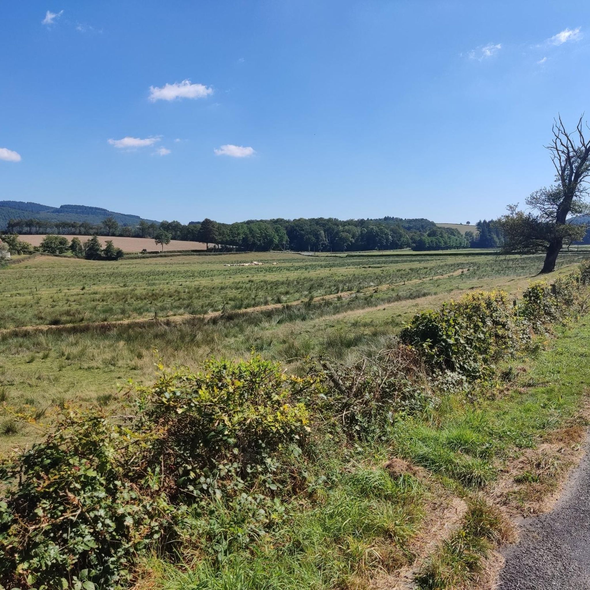
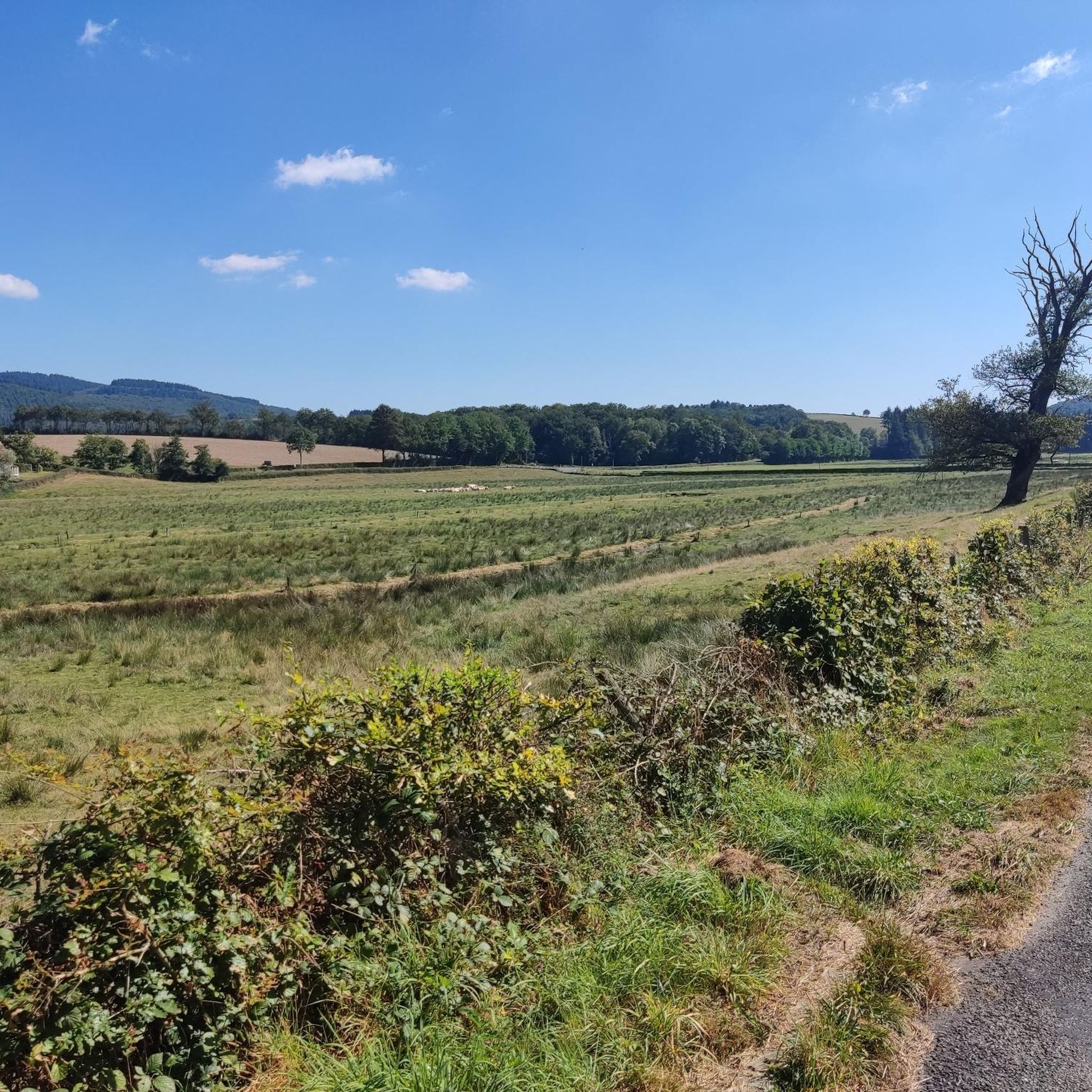
The herds are often permanently outdoors and appear large and powerful.
0
0
Frequently Asked Questions
How many road cycling routes are available around La Tagnière?
There are over 150 road cycling routes available around La Tagnière, catering to various skill levels. You'll find a mix of easy, moderate, and challenging paths to explore the region's diverse landscapes.
What kind of terrain can I expect on road cycling routes in La Tagnière and the Morvan Regional Natural Park?
Road cycling in this area offers a varied topography, from rolling hills and dense forests to picturesque lakes and quiet country roads. Elevations in La Tagnière range from 276 to 654 meters, providing both gentle sections and more demanding climbs, especially within the nearby Morvan Regional Natural Park which features a low mountain massif.
Are there challenging road cycling routes for experienced riders?
Yes, for experienced riders seeking a challenge, the region offers routes with significant climbs. For instance, the Mont d'Uchon – Col de la Porolle loop from Les Marais is a difficult 60.2 km path featuring challenging ascents and picturesque vistas. The Morvan Regional Natural Park also includes passes like Col de la Croix Pilate with gradients up to 10%.
What are some notable landmarks or natural features I might see along the cycling routes?
Many routes pass by significant natural and historical sites. You might encounter unique granite rock formations like those at the Uchon Massif, such as Les Rochers d'Uchon or Signal d'Uchon – Rochers du Carnaval. Picturesque lakes like Vauvillard Pond are also common, offering scenic views amidst lush greenery.
Are there any family-friendly road cycling options in the area?
While many routes involve rolling hills, there are easier options suitable for families. The region's quiet country roads and well-paved surfaces make for a pleasant experience. Look for routes with lower elevation gains and shorter distances, often found outside the most challenging Morvan sections.
What is the best time of year for road cycling in La Tagnière and the Morvan?
The best seasons for road cycling in La Tagnière and the Morvan are spring and autumn. During these times, the weather is typically mild, and the landscapes are particularly vibrant, offering comfortable riding conditions and stunning scenery. Summer can also be pleasant, but spring and autumn avoid the hottest temperatures.
Are there circular road cycling routes available?
Yes, many road cycling routes in the area are circular, allowing you to start and end at the same point. Examples include the popular Signal d'Uchon – Vauvillard Pond loop from La Tagnière, a 40.5 km route, and the Mont d'Uchon – Signal d'Uchon loop from La Tagnière, which is 30.7 km.
What do other road cyclists enjoy most about the routes around La Tagnière?
The road cycling routes around La Tagnière are highly rated by the komoot community, with an average score of 4.8 stars from over 30 reviews. Cyclists often praise the varied landscapes, the quiet country roads, and the blend of challenging climbs with serene, picturesque vistas through forests and agricultural lands.
Where can I find parking for road cycling routes in La Tagnière?
Parking is generally available in and around the villages, including La Tagnière itself, and at common starting points for routes. Many routes begin from accessible locations, making it convenient to park your vehicle before heading out. Specific parking details are often provided within individual route descriptions on komoot.
Are there any viewpoints along the road cycling routes that offer panoramic views?
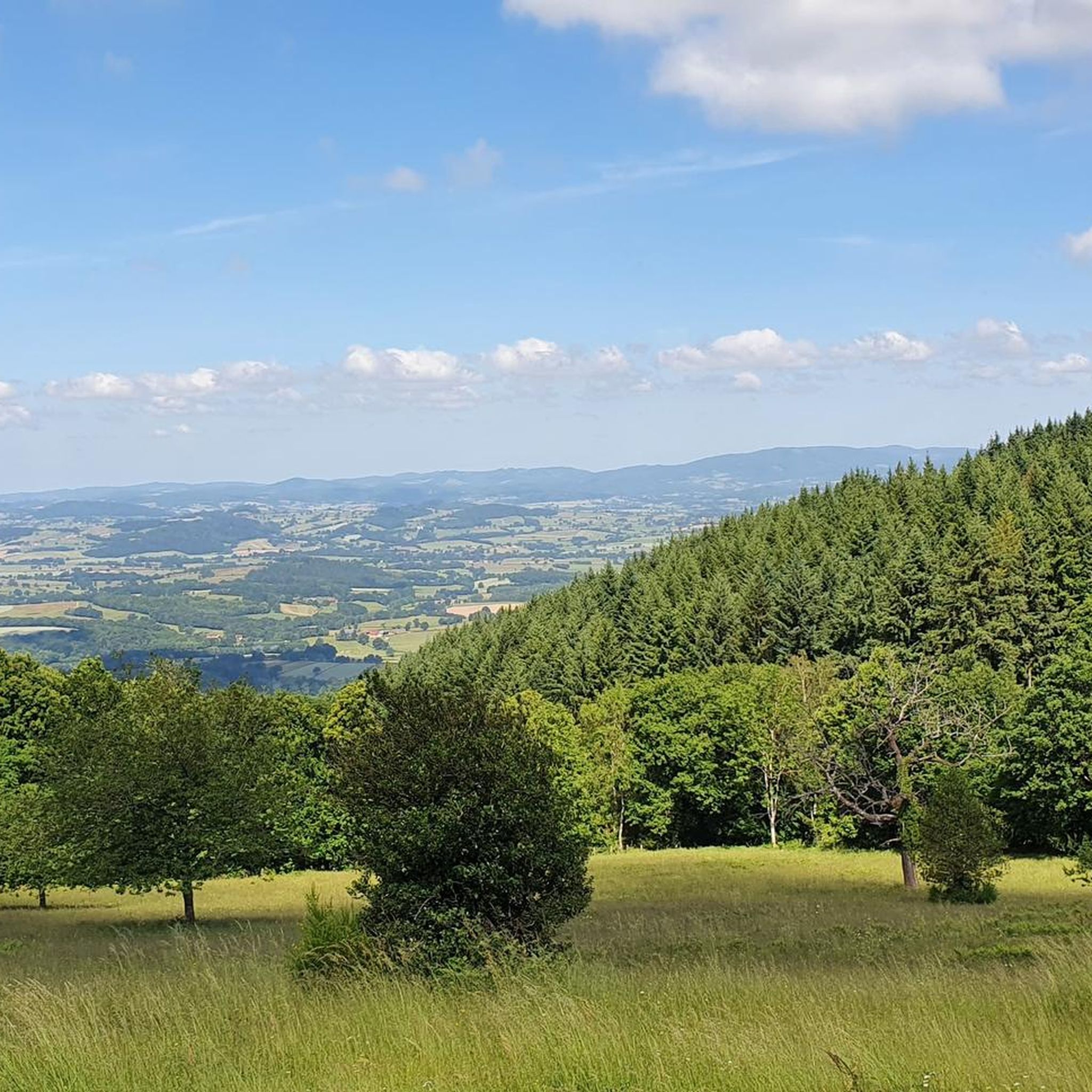
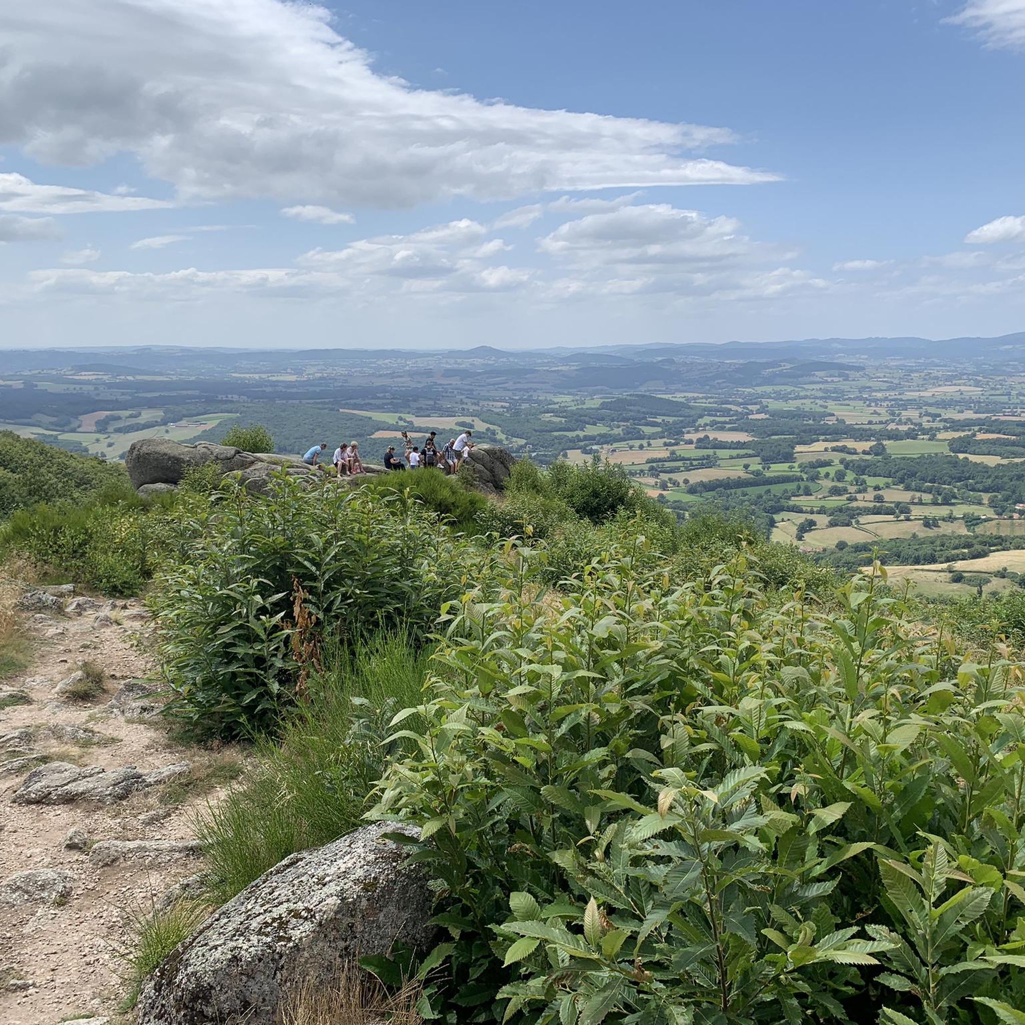
Absolutely. The region is known for its scenic vistas. The Uchon Massif, often called the 'Pearl of Morvan,' features several viewpoints at its 684-meter summit, including panoramic views of the Arroux valley. Highlights like Signal d'Uchon and View of the Morvan from the Balcony of the Morvan are excellent spots to take in the expansive scenery.
Can I access the cycling routes using public transport in La Tagnière?
La Tagnière is a small village, and while public transport options might be limited directly to all route starting points, the region is generally accessible. For detailed information on public transport connections to La Tagnière and surrounding areas, it's best to consult local transport schedules or regional tourism resources.
Are there any specific permits required for cycling in the Morvan Regional Natural Park?
Generally, no specific permits are required for road cycling on public roads within the Morvan Regional Natural Park. However, always respect local regulations, private property, and any signage indicating restricted access or specific rules for certain areas within the park.
Most popular routes around La Tagnière
Most popular attractions around La Tagnière

Get inspired with the komoot mobile app


Explore more
Browse the best Road cycling routes in other regions.
