The best running trails around Remoncourt
86
runners
7
runs
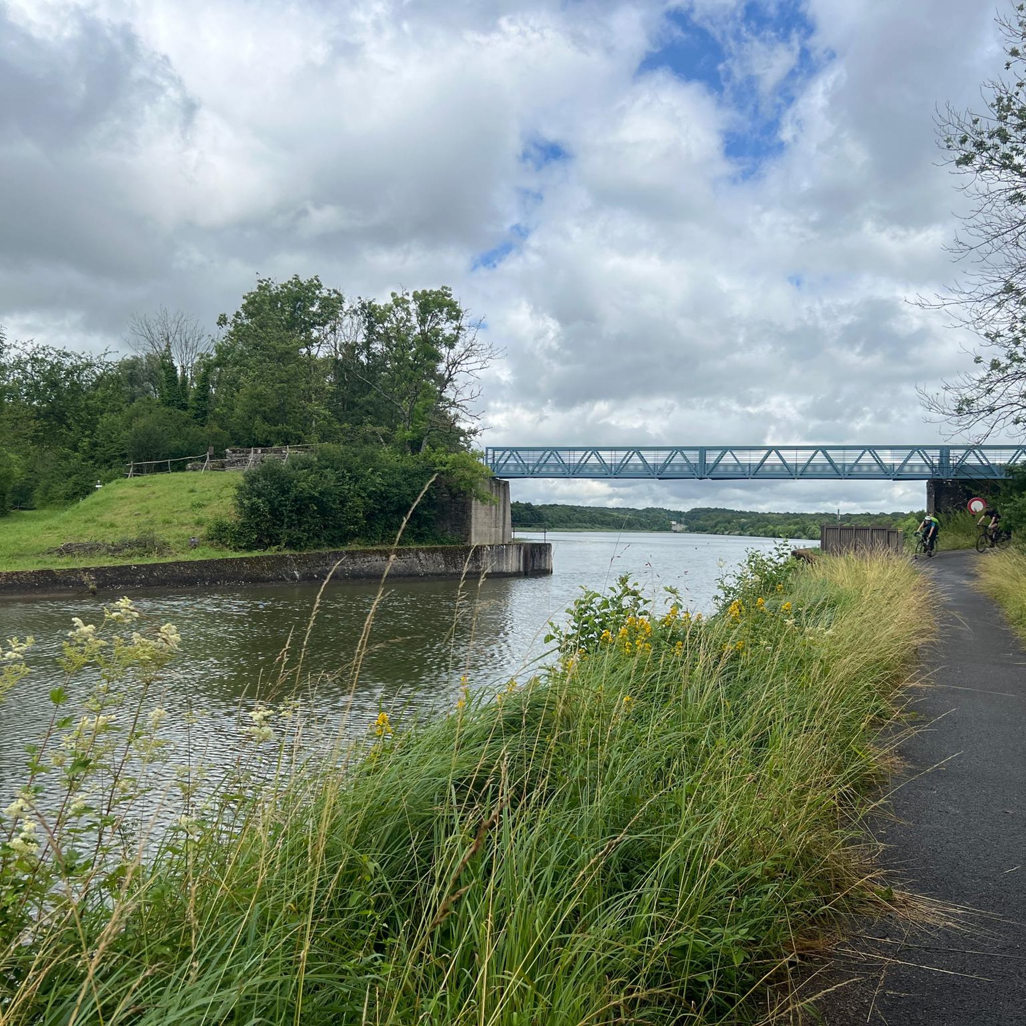
Jogging around Remoncourt offers diverse landscapes, from flat, well-maintained paths along the Marne-Rhine Canal to varied terrain within its communal forests. The region features a mix of gentle slopes and more challenging inclines, with elevations ranging from 295m to 444m. These natural features provide a range of running experiences for different fitness levels. The area also includes dedicated fitness trails and scenic routes around local lakes.
Best jogging routes around Remoncourt
- The most popular jogging route is Étang de Réchicourt…
Last updated: July 5, 2026
11
runners
11.1km
01:18
60m
60m
Moderate run. Good fitness required. Mostly paved surfaces. Suitable for all skill levels.
6
runners
4.52km
00:30
20m
20m
Easy run. Great for any fitness level. Mostly paved surfaces. Suitable for all skill levels.

Sign up for free
5
runners
4.36km
00:32
20m
20m
Easy run. Great for any fitness level. Mostly paved surfaces. Suitable for all skill levels.
4
runners
9.85km
01:03
110m
110m
Moderate run. Good fitness required. Mostly paved surfaces. Suitable for all skill levels.
3
runners
9.44km
00:59
70m
70m
Moderate run. Good fitness required. Mostly paved surfaces. Suitable for all skill levels.
Get access to more routes and recommendations from other explorers.
Sign up for free
Already have an account?
Our route recommendations are based on thousands of hikes, rides, and runs completed by other people on komoot.
Start today with a free account
Your next adventure awaits.
Login or Signup

Tips from the Community

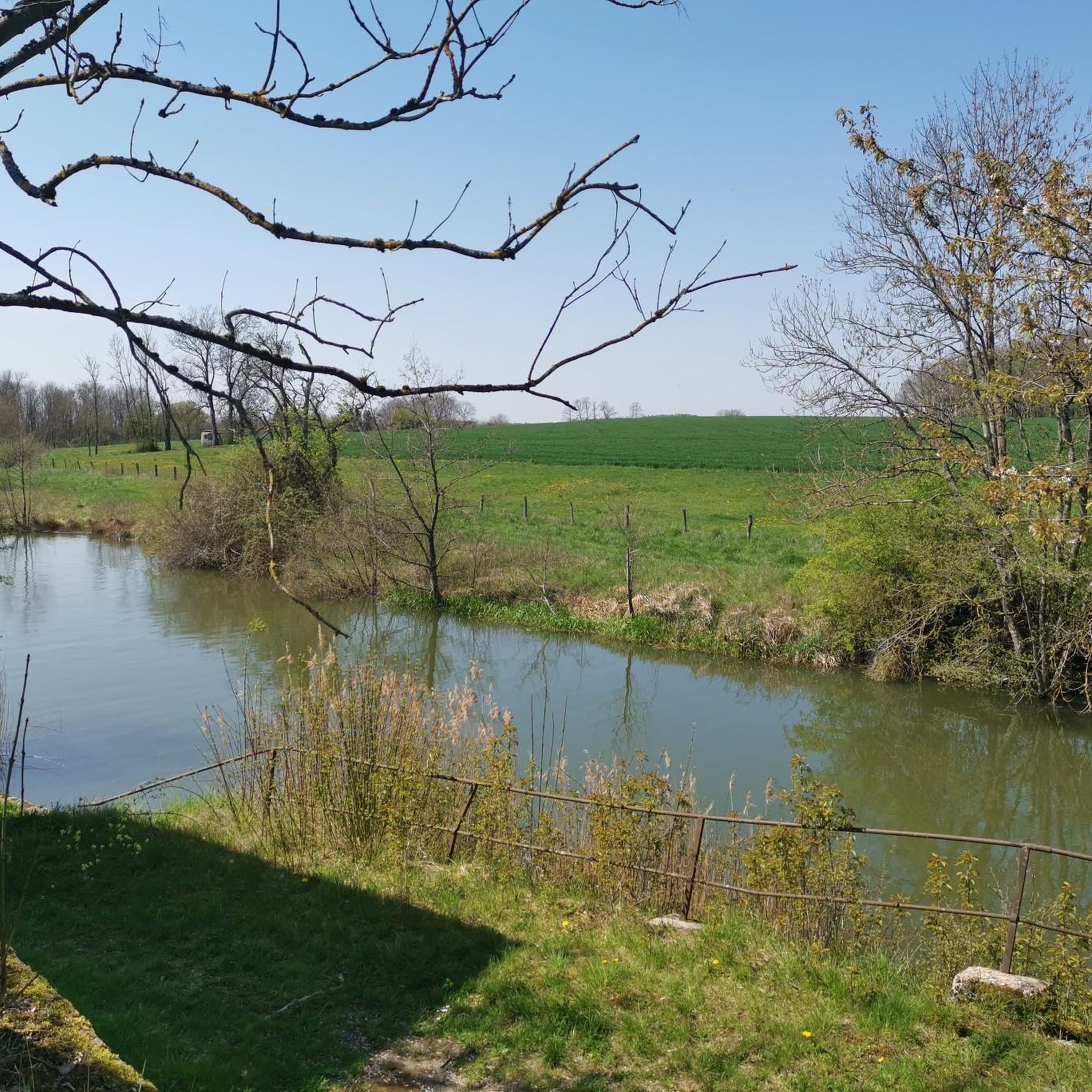
The old lock is an interesting and peaceful place to spend time.
2
0
Frequently Asked Questions
What types of running terrain can I expect around Remoncourt?
The Remoncourt area offers a diverse range of running terrains. You'll find flat, well-maintained paths, particularly along the Marne-Rhine Canal, which are excellent for steady runs. There are also extensive communal forests providing natural trails, and the region's varied elevation (295m to 444m) means you can find both gentle slopes and more challenging inclines for varied workouts.
Are there any easy running routes suitable for beginners or a relaxed jog?
Yes, there are several easy options. For a relaxed jog with scenic views, consider the Étang de Réchicourt loop from Réchicourt-le-Château, which is an easy 2.8 miles (4.5 km) path. Another easy route is the Étang de Réchicourt loop from Écluse N°7, covering 4.3 km.
What are some notable landmarks or attractions I might see while running in the area?
While jogging around Remoncourt, you can encounter several interesting sights. The Marne-Rhine Canal itself is a prominent feature, and along it, you might pass by The Great Lock of Réchicourt, an impressive engineering marvel. Some routes, like the Château de Granseille loop from Autrepierre, will take you past historic châteaux and through forests.
Are there any running routes that are particularly family-friendly?
For families, the flatter, well-maintained paths along the Marne-Rhine Canal are ideal. The easy loops around the Étang de Réchicourt, such as the Étang de Réchicourt loop from Réchicourt-le-Château, are also great choices due to their manageable distance and minimal elevation gain, making them suitable for various fitness levels.
Can I bring my dog on the running trails around Remoncourt?
Many of the natural trails and paths in the communal forests and along the canal are suitable for running with dogs, provided they are kept under control, especially in areas where wildlife might be present. Always ensure you follow local regulations regarding leashes and waste disposal. The varied terrain offers plenty of opportunities for both you and your canine companion to enjoy the outdoors.
How long are the running routes typically in this region?
The running routes around Remoncourt vary in length to suit different preferences. You can find shorter, easy loops like the Étang de Réchicourt loop from Écluse N°7 at 4.3 km (2.7 miles), up to moderate trails such as the Étang de Réchicourt loop from Hellocourt, which is 11.1 km (6.9 miles).
Are there any circular running routes available?
Yes, many of the running routes in the Remoncourt area are designed as circular loops, offering a convenient way to start and finish at the same point. Examples include the Étang de Réchicourt loop from Hellocourt and the Château de Granseille loop from Autrepierre, both providing scenic round trips.
What is the best time of year to go jogging in Remoncourt?
Remoncourt offers good running conditions throughout much of the year. Spring and autumn generally provide pleasant temperatures and beautiful scenery, with changing foliage. Summer can be warm, so early morning or late evening runs are often preferred. The well-maintained paths, especially along the canal, can also be suitable for winter jogging, though conditions may vary.
Are there running options near Vittel, which is close to Remoncourt?
Absolutely. The nearby town of Vittel, just 10 km from Remoncourt, is another excellent spot for runners. The Vittel Park Circuit offers several loop options for running and hiking, ranging from easy to moderate difficulty. The Vittel Thermal Park also provides a scenic environment with lakes, perfect for outdoor activity.
Where can I find parking for these running routes?
Many routes, especially those starting from villages or popular natural spots like the Étang de Réchicourt, will have designated parking areas nearby. For routes around Vittel Thermal Park, there are usually parking facilities available for visitors. It's always a good idea to check the specific route details on komoot for parking information at the trailhead.
What are the elevation changes like on the running trails?
The elevation changes vary significantly across the region. While paths along the Marne-Rhine Canal are relatively flat, routes that venture into the communal forests or higher ground can offer more challenging inclines. For example, the Running loop from Maizières-lès-Vic has an elevation gain of about 73 meters, providing a good workout.
Are there any places to stop for refreshments or a meal near the running routes?
While Remoncourt itself is a smaller commune, you'll find amenities in nearby towns. The area around the Great Lock of Réchicourt often has picnic tables, and towns like Vittel offer a wider selection of cafes, restaurants, and accommodation options, especially near the Thermal Park, which can be convenient for pre- or post-run refreshments.
Most popular attractions around Remoncourt

Get inspired with the komoot mobile app


Explore more
Browse the best Running Trails & Routes in other regions.
