The best walks and hikes around Saint-Cierge-Sous-Le-Cheylard
4.4
(174)
980
hikers
80
hikes
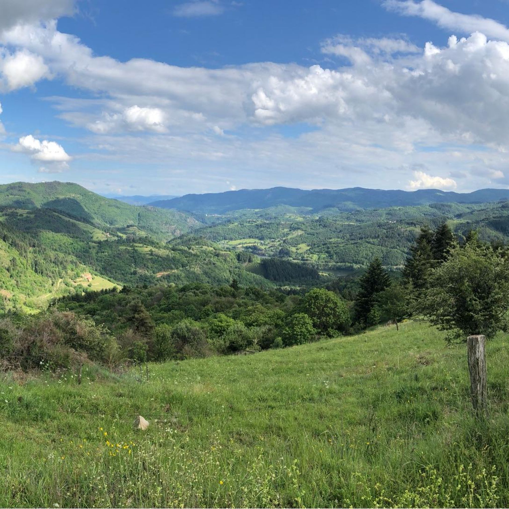
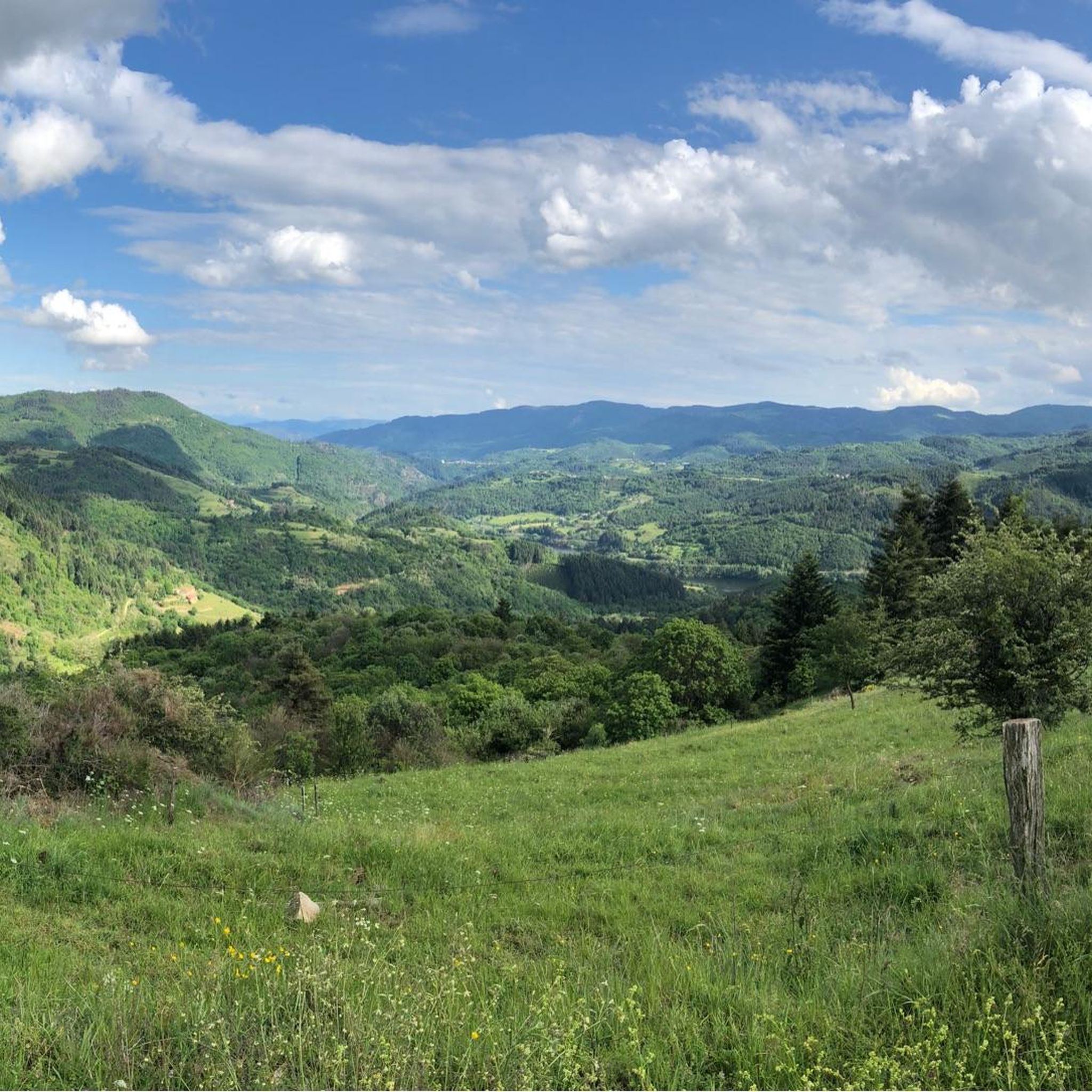
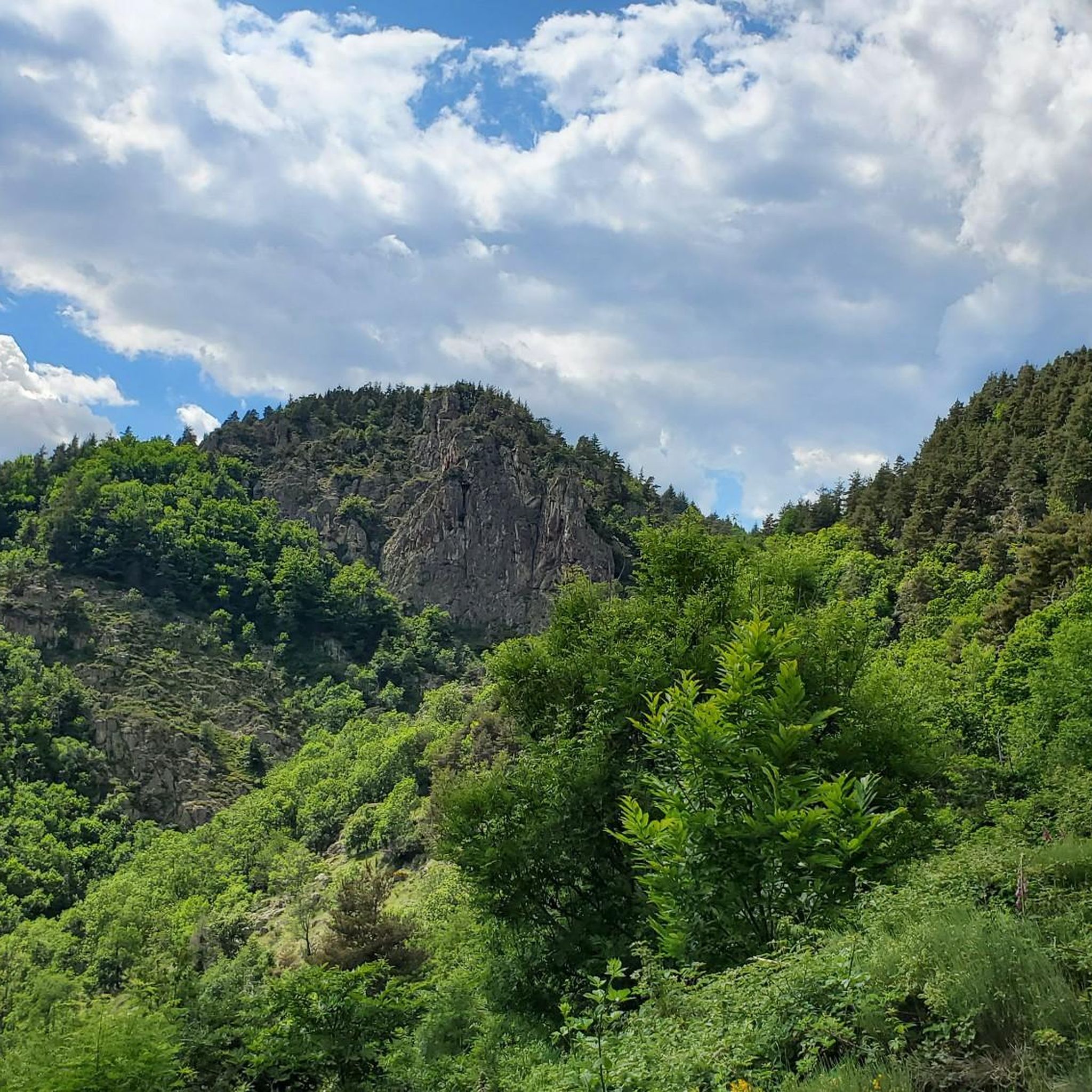
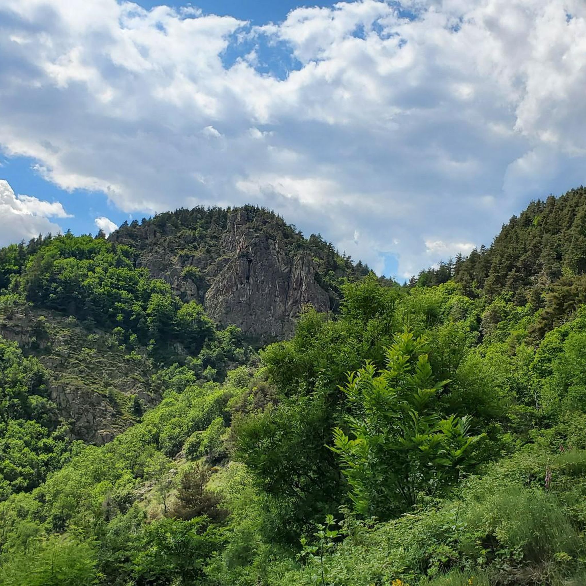
Hiking around Saint-Cierge-Sous-Le-Cheylard offers varied terrain within the Ardèche department of southern France, with elevations ranging from 390 to 967 meters. The region is characterized by the Eyrieux and Sumène valleys, which feature rivers, woodlands, and former railway lines converted into trails. Natural features like the Dolce Via greenway and the Lac de Collanges contribute to the diverse landscape.
Best hiking trails around Saint-Cierge-Sous-Le-Cheylard
- The most popular hiking route is Ruisseau du Devès – Rochebonne Castle loop from Saint-Jean-Roure,…
Last updated: June 29, 2026
3.5
(4)
14
hikers
10.5km
03:21
390m
390m
Hard hike. Good fitness required. Sure-footedness, sturdy shoes and alpine experience required.
13
hikers
9.65km
03:08
430m
430m
Moderate hike. Good fitness required. Easily-accessible paths. Suitable for all skill levels.

Sign up for free
13
hikers
15.1km
04:27
420m
420m
Moderate hike. Good fitness required. Easily-accessible paths. Suitable for all skill levels.
5.0
(1)
12
hikers
8.23km
02:07
40m
40m
Moderate hike. Good fitness required. Easily-accessible paths. Suitable for all skill levels.
12
hikers
8.19km
02:11
90m
90m
Moderate hike. Good fitness required. Easily-accessible paths. Suitable for all skill levels.
Get access to more routes and recommendations from other explorers.
Sign up for free
Already have an account?
Our route recommendations are based on thousands of hikes, rides, and runs completed by other people on komoot.
Start today with a free account
Your next adventure awaits.
Login or Signup

Tips from the Community

A small station for repairing and charging bicycles - with shady seating - near a small cafe/restaurant about 50m
1
0

A large, refreshing tunnel
0
0


Possibility of starting from the 3 stations in the region and thus completing one of the 3 sections of +_ 30km outward and possibly return depending on the time or desires. Accessible to all, be careful however it climbs all the time coming from the Rhône. Superb landscapes and very secure routes, accessible to all levels, gravel and vtc, quite a bit of gravel.
0
0

Collanges Lake is a 48-hectare artificial lake (which also serves as a water control dam for the Eyrieux Valley). Swimming is prohibited, but fishing is permitted (category 2). For swimming, you can visit the Eyrium aquatic center, with its 1,650 m² nestled in unspoiled nature, a large swimming pool, beaches, and games.
0
1

The tunnel lights up automatically, great atmosphere
1
0

La Dolce Via lives up to its name. Very nice bike path. Many benches and picnic areas.
1
0
Frequently Asked Questions
How many hiking trails are available in Saint-Cierge-Sous-Le-Cheylard?
There are over 80 hiking trails around Saint-Cierge-Sous-Le-Cheylard, offering a wide range of options for different skill levels and preferences.
What kind of landscapes can I expect to see while hiking in this region?
The region offers diverse landscapes, from the picturesque Eyrieux and Sumène valleys with their rivers and woodlands, to higher elevations providing panoramic views. You'll encounter features like the serene Lac de Collanges and the unique converted railway line, the Dolce Via.
Are there any easy hiking trails suitable for beginners or families?
Yes, Saint-Cierge-Sous-Le-Cheylard has 17 easy hiking routes. A great option for a more relaxed experience is the Lac des Collanges – La Dolce Via loop from Saint-Michel-d'Aurance, which features minimal elevation gain and takes you past the beautiful Lac de Collanges.
Where can I find trails with impressive viewpoints?
Many trails in the area offer breathtaking vistas. For stunning panoramic views, consider the View From Rocher du Cheylard loop from Saint-Cierge-sous-le-Cheylard. You can also spot prominent natural landmarks like Mont Mézenc, Le Sarra, and the Rocher de Brion from various elevated points.
Are there any circular walks available?
Yes, many of the trails in Saint-Cierge-Sous-Le-Cheylard are designed as circular routes. For example, the Ruisseau du Devès – Rochebonne Castle loop from Saint-Jean-Roure is a challenging circular hike that explores the area around Rochebonne Castle.
What is the Dolce Via and can I hike on it?
The Dolce Via is a remarkable greenway, a former Ardèche railway line converted into a path for hikers and cyclists. It allows you to explore the Sumène valley, passing through impressive tunnels and over majestic old bridges. The La Dolce Via – Nonières Tunnel loop from Saint-Cierge-sous-le-Cheylard is an excellent way to experience this unique route.
What are some interesting landmarks or attractions to see along the hiking trails?
Along the trails, you can discover several points of interest. The Nonières Tunnel and the Dolce Via Section Through the Gorges of the Eyrieux are notable features of the converted railway line. You might also encounter the beautiful Viaduc du Bail and the local curiosity of the Rives and Cascade de l'Aigas.
What do other hikers enjoy most about the trails in Saint-Cierge-Sous-Le-Cheylard?
The trails in Saint-Cierge-Sous-Le-Cheylard are highly rated by the komoot community, with an average score of 4.4 stars from over 160 reviews. Hikers often praise the varied terrain, the stunning panoramic views, and the unique experience of walking along the Dolce Via greenway.
Are there any trails that pass by water features like lakes or waterfalls?
Yes, the region features several water elements. The serene Lac de Collanges can be spotted during hikes, and the local curiosity of the Cascade de l'Aigas (Aigas waterfall) provides another natural highlight for those exploring the area.
Is Saint-Cierge-Sous-Le-Cheylard suitable for more challenging hikes?
Absolutely. With 19 difficult routes, the area caters to experienced hikers seeking a challenge. The varied elevation, ranging up to 967 meters, ensures plenty of opportunities for strenuous ascents and rewarding descents.
What is the best time of year to go hiking in Saint-Cierge-Sous-Le-Cheylard?
The region is enjoyable for hiking across multiple seasons. Spring and autumn offer pleasant temperatures and vibrant natural colors, while summer provides warm weather for exploring the valleys and woodlands. Even winter can be beautiful, though some higher trails might require more preparation.
Are there options for parking near the trailheads?
While specific parking details vary by trailhead, many popular starting points for hikes around Saint-Cierge-Sous-Le-Cheylard offer designated parking areas. It's advisable to check the route details on komoot for specific parking information for your chosen trail.
Most popular routes around Saint-Cierge-Sous-Le-Cheylard
Most popular attractions around Saint-Cierge-Sous-Le-Cheylard

Get inspired with the komoot mobile app


Explore more
Browse the best Hikes in other regions.
