Routes

Planner

Features

Updates

App

Login or Signup

Get the App

Login or Signup

Routes
Running Trails
Italy
Abruzzo

L'Aquila

The best running trails in L'Aquila

4.3

(124)

7,168

runners

719

runs

Jogging routes in L'Aquila are set within the diverse and dramatic natural landscapes of Italy's Abruzzo region. The area is characterized by the high mountains of the Apennines, including Gran Sasso, Maiella, and Velino-Sirente, providing varied terrain. Runners can explore vast high-altitude plateaus like Campo Imperatore, picturesque valleys, and scenic lakes. The region offers a mix of challenging mountain trails and gentler paths along rivers and through natural parks.

Best jogging routes in L'Aquila

  • The most popular jogging route is Gran Sasso SkyRace, a 12.7 miles (20.4 km) trail that takes 4 hours 11 minutes to complete. This difficult route features significant elevation gain within the Gran Sasso mountain range.
  • Another top favourite among local runners is La Val d'Arano – loop run from Ovindoli, a moderate 7.6 miles (12.2 km) path. This route offers a scenic loop through the Val d'Arano area.
  • Local runners also love the Lake Scanno Loop, a 2.9 miles (4.7 km) trail leading through the picturesque, heart-shaped Lake Scanno, often completed in about 29 minutes.
  • Jogging in L'Aquila is defined by high mountain ranges, expansive plateaus, and serene lake paths. The network offers options for various ability levels, from easy loops to challenging mountain ascents.
  • The routes in L'Aquila are highly rated by the komoot community with an average score of 4.4 stars from nearly 90 reviews. More than 6000 runners have used komoot to explore L'Aquila's varied terrain.

Last updated: June 23, 2026

5.0

(3)

69

runners

#1.

Gran Sasso SkyRace

20.4km

04:11

1,660m

1,660m

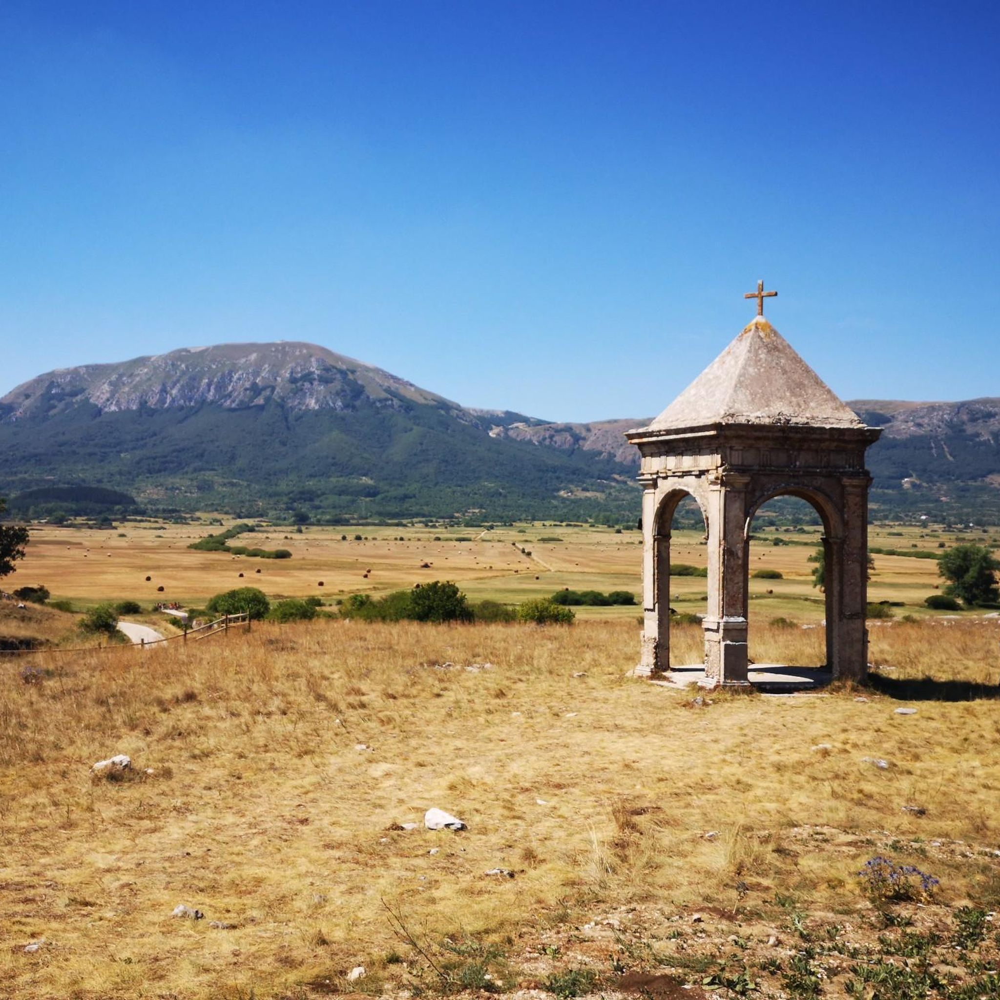
Embark on the Gran Sasso SkyRace, a difficult jogging route that plunges you into the wild alpine landscapes of the Gran Sasso and Monti della Laga National Park. You will cover 12.7 miles (20.4 km) and gain a significant 5451 feet (1661 metres) in elevation, offering panoramic views across the vast high plateau of Campo Imperatore, often called the "little Tibet" of Italy. Expect to ascend to high points like Pizzo Cefalone and witness the stunning View of Corno Grande, Gran Sasso, all within an estimated duration of 4 hours and 10 minutes.

This route is extremely demanding, so you need very good fitness and prior alpine experience to tackle it safely. It is not suitable for casual jogging due to its technical terrain and the significant elevation changes you will encounter. Make sure you are well-prepared for a hard run in a high-mountain environment, bringing all necessary gear and provisions for a challenging day. Always check weather conditions before you go, as alpine environments can change rapidly.

The Gran Sasso SkyRace stands out within the Gran Sasso and Monti della Laga National Park for its intense challenge and the unique vistas it provides. The trail showcases the raw beauty of this protected area, particularly the expansive Campo Imperatore plateau, which is a geological marvel. This region is renowned for its dramatic peaks and diverse ecosystems, making the route a prime example of the park's rugged charm and a true test of endurance for experienced runners.

Navigate with device

Send to Phone

Save

Hard

4.0

(1)

63

runners

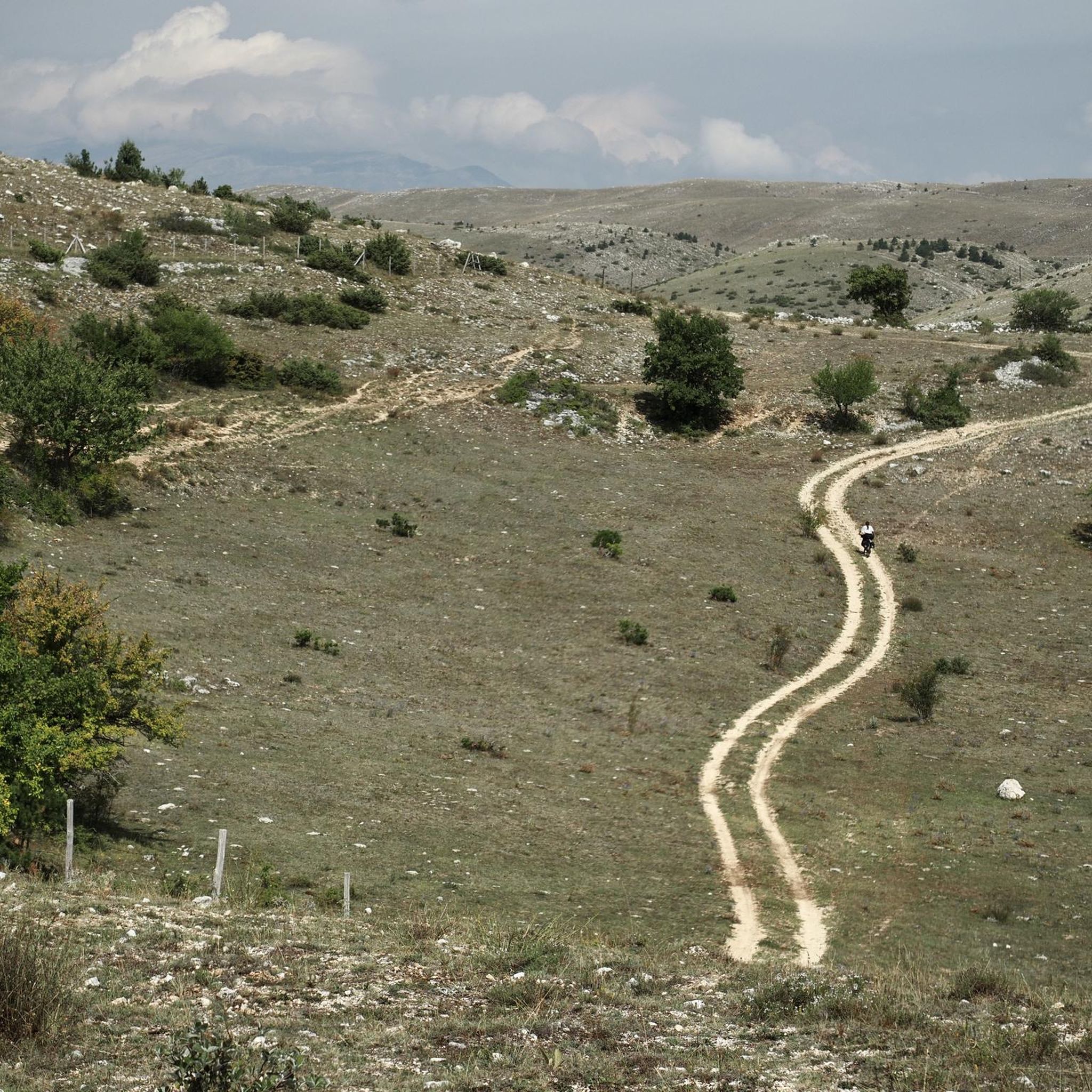
Embark on the La Val d'Arano loop run from Ovindoli, a moderate jogging route that covers 7.6 miles (12.2 km) with a gentle elevation gain of 525 feet (160 metres). You can expect to complete this scenic loop in about 1 hour and 21 minutes. The trail winds through a green valley, offering easily accessible paths that traverse a pleasant mix of streams, woods, and meadows, all set against the picturesque backdrop of Monte Sirente and the visible crests of Monti Savina and Etra.

This accessible loop is ideal for joggers of all skill levels, making it a great choice if you are looking for an enjoyable run without significant technical challenges. Starting from Ovindoli, the route's gentle terrain and well-maintained paths mean you can enjoy it year-round. It's also versatile, suitable for activities like walking, mountain biking, or even snowshoeing depending on the season, ensuring a pleasant outdoor experience whenever you visit.

The Val d'Arano loop is nestled within the beautiful Sirente-Velino Regional Nature Park, a region known for its rich flora and diverse Apennine fauna. The valley itself is an ancient lake basin, contributing to its unique and mostly flat character. Its reputation as a venue for organized running events, such as the XTERRA Abruzzo Trail Run, further highlights its appeal for trail running enthusiasts. Additionally, the dramatic landscape of the nearby Gole di Celano-Aielli adds to the natural splendor of the area.

Moderate
guide_signup
Let us show you the way with the komoot mobile app
With a free komoot account, you can easily find, customize, and navigate endless outdoor adventures.

Sign up for free

5.0

(2)

39

runners

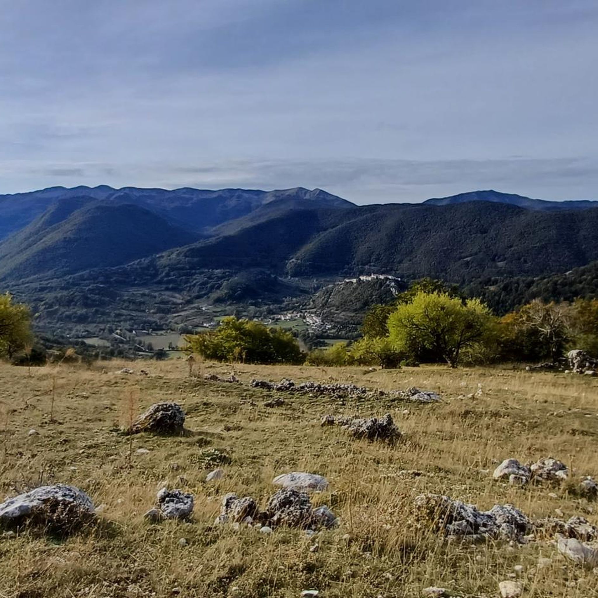
Embark on the Altopiano delle Rocche Trail, a moderate jogging route that stretches for 7.6 miles (12.2 km) across a scenic high plateau. You will gain 203 feet (62 metres) in elevation, with the entire journey typically taking about 1 hours and 15 minutes. As you jog, you can enjoy panoramic mountain views, often spotting the majestic Great Sasso d'Italia mountain range and Corno Grande to the east, while passing through open grasslands that contrast with the surrounding beech forests.

When planning your visit, remember that the trail features varied natural surfaces, including dirt paths and some potentially rocky sections, so appropriate footwear is recommended for comfort and safety. Parking is generally available in the charming towns that border the plateau, such as Rocca di Mezzo, making access straightforward. While the plateau usually has gentle elevation changes, this specific route is rated moderate, offering a good balance for your outing.

The Altopiano delle Rocche Trail is nestled within the beautiful Sirente-Velino Regional Park, offering a unique glimpse into the Abruzzo Apennines. In spring, particularly during May, the area transforms into a vibrant landscape as wild daffodils bloom across the plateau, creating a memorable visual experience. This route provides an excellent opportunity to combine natural beauty with a pleasant jogging workout.

Moderate

3.0

(1)

39

runners

4.71km

00:29

30m

30m

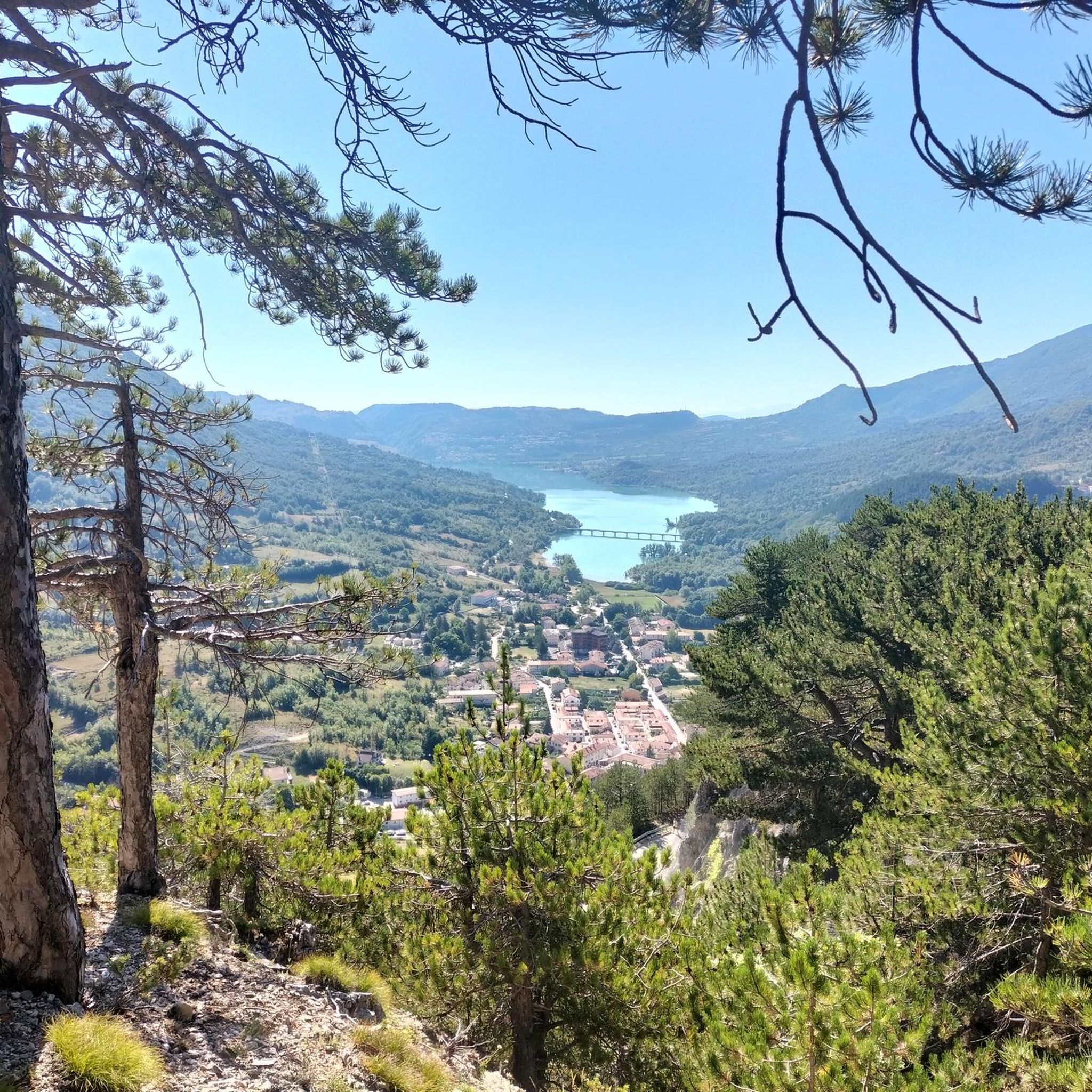
Start your jogging adventure around the heart-shaped Lake Scanno, where emerald waters mirror the surrounding green forests. This easy 2.9-mile (4.7 km) loop offers a refreshing run, with only 100 feet (30 metres) of elevation gain, making it perfect for a quick 29-minute outing. As you move, you'll enjoy tranquil views, with the barren rocky slopes of Mount Genzana providing a dramatic backdrop on one side. The path lets you immerse yourself in the natural beauty, experiencing the unique colors and smells of the Parco Nazionale d'Abruzzo, Lazio e Molise.

Finding your way to the Lake Scanno Loop is straightforward, with parking readily available close to the lake, ensuring easy access to the start of your run. The route is mostly paved, which means it's suitable for joggers of all experience levels. To make the most of your visit, consider checking local weather forecasts and planning your jog during optimal conditions. This will help you enjoy the scenery without any unexpected interruptions.

Lake Scanno is not just a beautiful spot; it's famous for its distinctive heart shape, a natural wonder that adds a unique charm to your jogging experience. The lake's serene environment, nestled within the Parco Nazionale d'Abruzzo, Lazio e Molise, makes it a notable destination in the region. This trail offers a chance to connect with nature in a truly picturesque setting, away from the hustle and bustle.

Easy

The Monte Camicia and Monte Tremoggia loop tour is a difficult jogging route in the Gran Sasso d'Italia massif, offering exceptional panoramic views. This demanding 5.6 miles (9.1 km) loop involves a significant elevation gain of 3044 feet (928 metres), requiring about 2 hours and 15 minutes to complete. You will traverse rugged terrain, including scree slopes and exposed ridges, with a predominantly stony bottom in open areas. From the summits, you can see the Adriatic Sea, prominent peaks like Prena and Corno Grande, and further south, Campo Imperatore. The trail also features a suggestive passage through woods, adding variety to the landscape.

This challenging excursion is best suited for well-trained adults with good endurance, who are comfortable jogging for several hours in a mountain environment. The route is considered an "impegnativa" or demanding journey, requiring very good fitness and sure-footedness. Be aware that even in late May, you might encounter snowfields along the path. Always check local conditions before you go, especially regarding weather and trail accessibility, to ensure a safe and enjoyable experience.

The Monte Camicia and Monte Tremoggia loop is notable for being part of the Gran Sasso's impressive crests. Both Monte Camicia and the nearby Monte Prena are components of the "Sentiero del Centenario" (Centenary Path), connecting some of the most significant peaks of the Gran Sasso. A particularly striking feature is the "balconies of Camicia," which present a dramatic 1200-meter vertical wall. Keep an eye out for wildlife, as chamois are often sighted, and you might spot Apennine edelweiss along the trail.

Hard

This difficult jogging loop from Campo Imperatore takes you on a 4.2-mile (6.8 km) journey through the high-mountain scenery of the Gran Sasso d'Italia massif. You will gain 1329 feet (405 metres) in elevation over approximately 1 hour and 22 minutes, traversing varied terrain that includes dirt paths, alpine trails, and stony sections. The route offers expansive views of Corno Grande, Campo Pericoli, and the entire Campo Imperatore plateau, often called the "Little Tibet" of Abruzzo. A key landmark is the historic Rifugio Duca degli Abruzzi, perched at 2388 metres, before you push on to the summit of Monte Aquila for a 360-degree panorama. On clear days, you can even spot the Adriatic Sea from the top. The descent from Monte Aquila can be quite steep in places, demanding your full attention. This trail is a rewarding experience for those with good fitness and some experience on mountain trails. You will need sure-footedness and sturdy shoes, especially on the ridge sections. The starting point at Campo Imperatore is easily accessible, either by car or via the cable car from Fonte Cerreto. The recommended period for this trail is from June to November; you should avoid winter conditions when snow can make it significantly more challenging and require specialized equipment. The Rifugio Duca degli Abruzzi, built in 1908, serves as a significant landmark and a potential resting point during its opening season, typically from June to September. The trail is generally well-marked with red and white signage, guiding you through this remote mountain wilderness. Reaching the Monte Aquila summit provides some of the most rewarding views in the Gran Sasso, making this loop a notable adventure in the region.

Hard

22

runners

Get ready for a challenging jogging experience on the Assergi - San Pietro della Ienca Loop. This difficult route covers 7.0 miles (11.2 km) and demands a significant climb of 994 feet (303 metres), typically taking you about 1 hour and 20 minutes to complete. As you jog, you'll move through the diverse landscapes of the Abruzzo region, passing picturesque hills and possibly olive groves. The trail offers views of the Valle del Vasto, a notable gorge, and leads you past the historic San Pietro della Ienca Sanctuary. Expect to feel the 'green lungs' of the Gran Sasso e Monti della Laga National Park, with its scenic ridges and wide, green valleys.

Before you head out, be aware that the terrain on this jogging route can be quite varied, ranging from paved sections to rugged paths, especially with the significant elevation changes in the mountainous areas. Always wear sturdy shoes to handle the varied surfaces. It's also wise to check local conditions before you go, particularly the weather, as adverse conditions can increase the difficulty of the trail. Being prepared will ensure a safer and more enjoyable run.

This loop is nestled within the Parco Nazionale del Gran Sasso e Monti della Laga, an area known for its rich biodiversity and dramatic scenery. The trail allows you to immerse yourself in the natural beauty of the Abruzzo region, offering a true taste of its wilder side. You'll experience the unique blend of historical landmarks and untouched nature that defines this part of Italy, making it a memorable outing for any dedicated jogger.

Hard

4.0

(1)

16

runners

Embark on the Monte Portella Loop from Campo Imperatore for a difficult jogging experience across a high-altitude plateau. This demanding route covers 7.5 miles (12.1 km) and involves a significant climb of 2274 feet (693 metres), typically taking around 2 hours and 8 minutes to complete. As you jog, you will encounter varied terrain, from wider, sometimes loose trails near the Campo Imperatore Observatory to narrower singletrack paths. You will see continuous panoramic views of the Gran Sasso massif, with Corno Grande dominating the skyline throughout your journey.

When planning your visit, be aware that even during summer months, you might encounter patches of snow along the trail. The path is uneven and can be exposed, so sure-footedness is essential, and you should wear appropriate footwear for the conditions. Starting at an altitude of about 2130 metres at Campo Imperatore adds to the challenge, so make sure you are well-acclimatized before you begin your run.

This high-altitude plateau is often referred to as "Little Tibet" due to its unique landscape and expansive views. The route is situated within the Parco Nazionale del Gran Sasso e Monti della Laga, offering a challenging workout for well-prepared trail runners. The continuous vistas and varied terrain make this loop a notable option for those seeking a demanding jogging adventure in the region.

Hard

4.7

(3)

19

runners

Prepare for a challenging jogging experience on the Monte Castelvecchio la Crocetta Loop, a difficult route spanning 5.3 miles (8.5 km). You will gain a significant 1520 feet (463 metres) in elevation, which you can expect to complete in about 1 hour and 18 minutes. The trail offers a mix of open, panoramic sections and shaded paths through forests, leading you to stunning viewpoints like The Little Cross of Mount Castelvecchio, where you can see L'Aquila and the Gran Sasso mountains.

This route is designed for experienced joggers seeking a demanding workout. The starting point is conveniently located near a parking lot, making access straightforward for those driving. While the general area offers moderate hikes, this specific jogging loop is rated difficult, so be ready for both a strenuous ascent and a steep descent. Ensure you are well-prepared for the varied terrain.

As you jog, you will encounter diverse ground conditions, shifting from stony sections to grassy paths, along with some unsurfaced tracks and steps. Sure-footedness is important to navigate these changes safely. The trail's unique combination of varied terrain and expansive views makes it a notable option for those looking to push their limits while enjoying the natural beauty of the region.

Hard

5.0

(2)

15

runners

Embark on the Tour of Lake Barrea — Ring Tour, a scenic jogging route that offers continuous picturesque views of Lake Barrea and its surrounding mountains. This moderate 5.3-mile (8.5 km) loop, with a gentle 186 feet (57 metres) of elevation gain, takes about 54 minutes to complete, making it ideal for a refreshing run. You will primarily jog on paved surfaces, passing through charming medieval villages like Barrea, Civitella Alfedena, and Villetta Barrea, which are beautifully integrated into the natural landscape.

This route is the most popular jogging trail around Villetta Barrea, suitable for all skill levels if you have good fitness. The area enjoys cool summers and snow-covered peaks in winter, making it an attractive destination year-round. You can expect a serene environment, perfect for an invigorating outdoor activity.

The artificial Lake Barrea has remarkably blended into the natural landscape of the Abruzzo, Lazio and Molise National Park. It is recognized as a Ramsar wetland of international importance, serving as a crucial area for waterbirds like herons, mallards, and kingfishers. The route's rich biodiversity also offers chances to spot wildlife such as chamois and deer, with possible bear sightings in autumn, adding to the unique appeal of this historical and natural setting.

Moderate
Sign up for free to see 710 more runs in L'Aquila.

Get access to more routes and recommendations from other explorers.

Sign up for free

Already have an account?

Our route recommendations are based on thousands of hikes, rides, and runs completed by other people on komoot.

Start today with a free account

Your next adventure awaits.

Login or Signup

Popular around L'Aquila

Running Trails around Parco naturale regionale Sirente-Velino
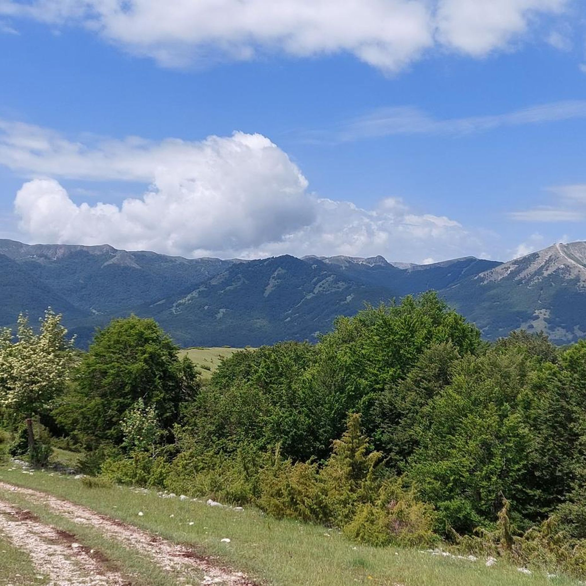
Running Trails around National Park of Abruzzo
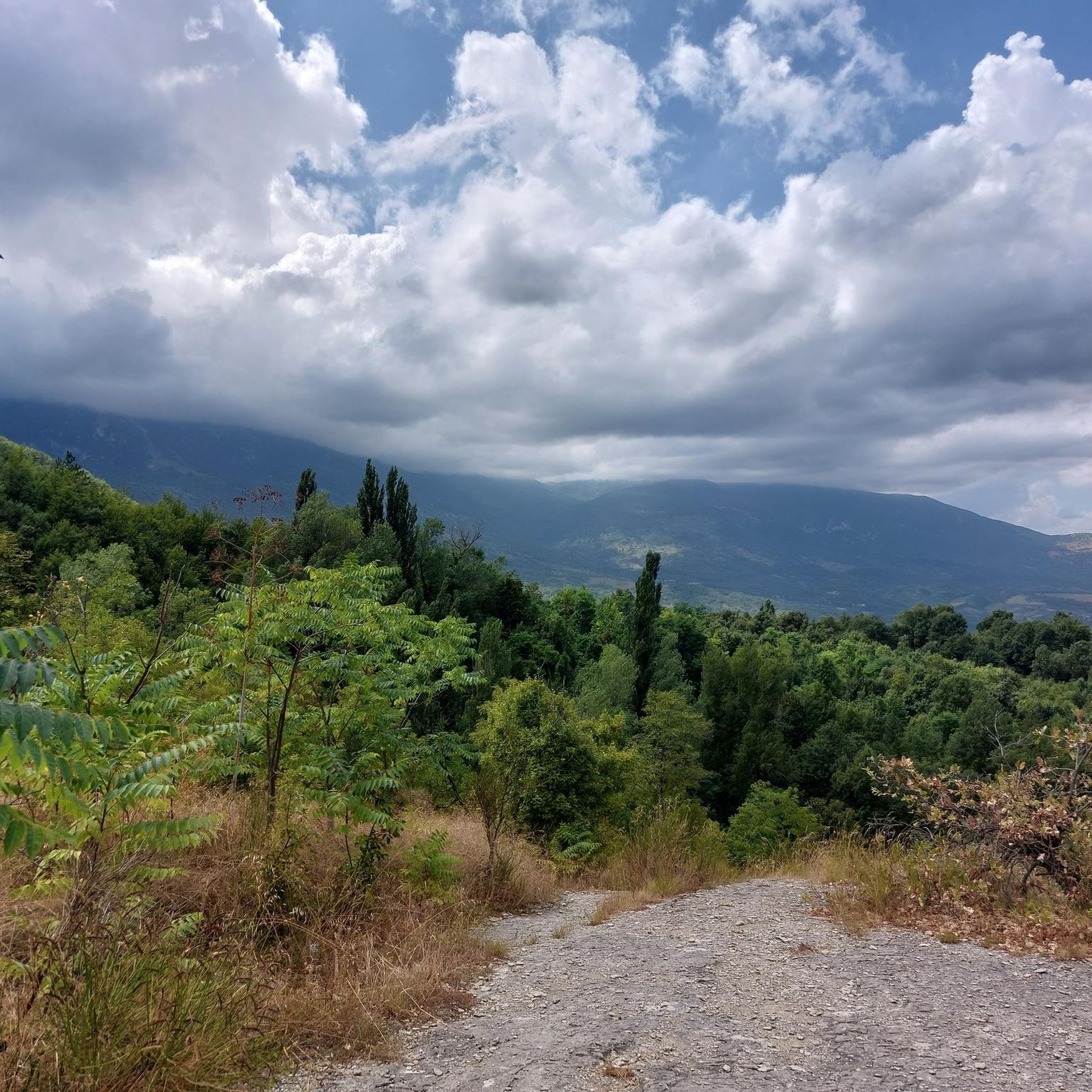
Running Trails around Parco Nazionale della Majella
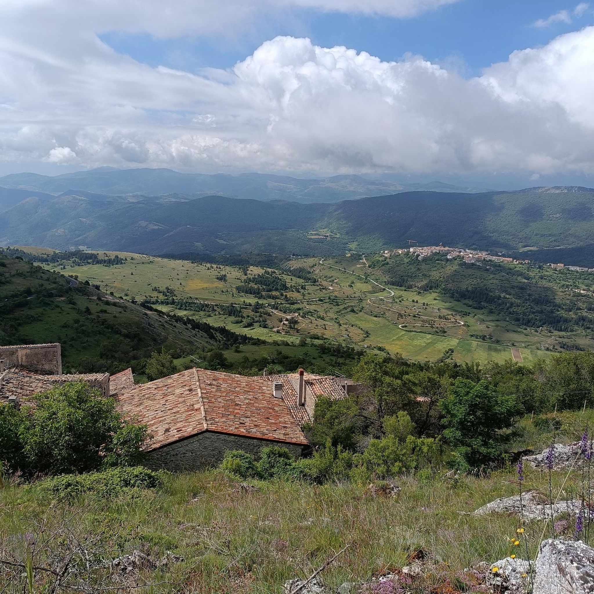
Running Trails around Secinaro

Running Trails around Carapelle Calvisio
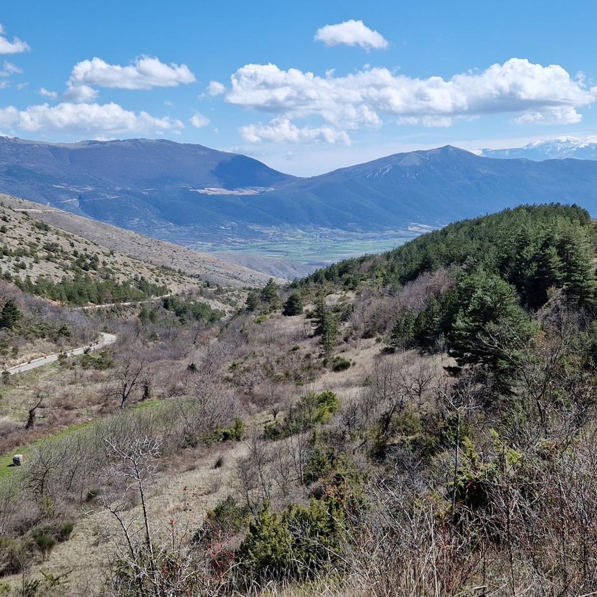
Running Trails around Castelvecchio Calvisio
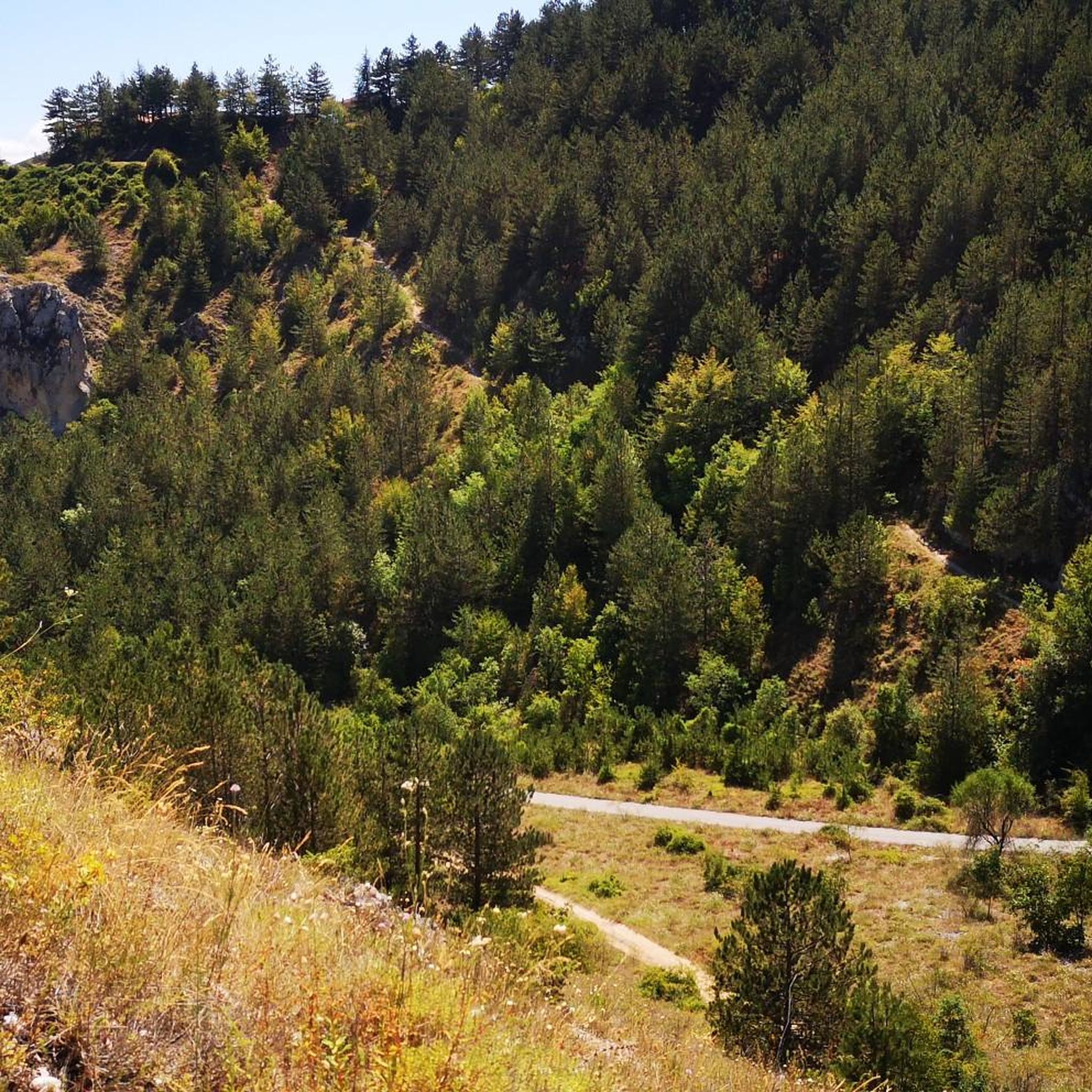
Running Trails around Lake Barrea

Running Trails around Opi

Running Trails around Villetta Barrea
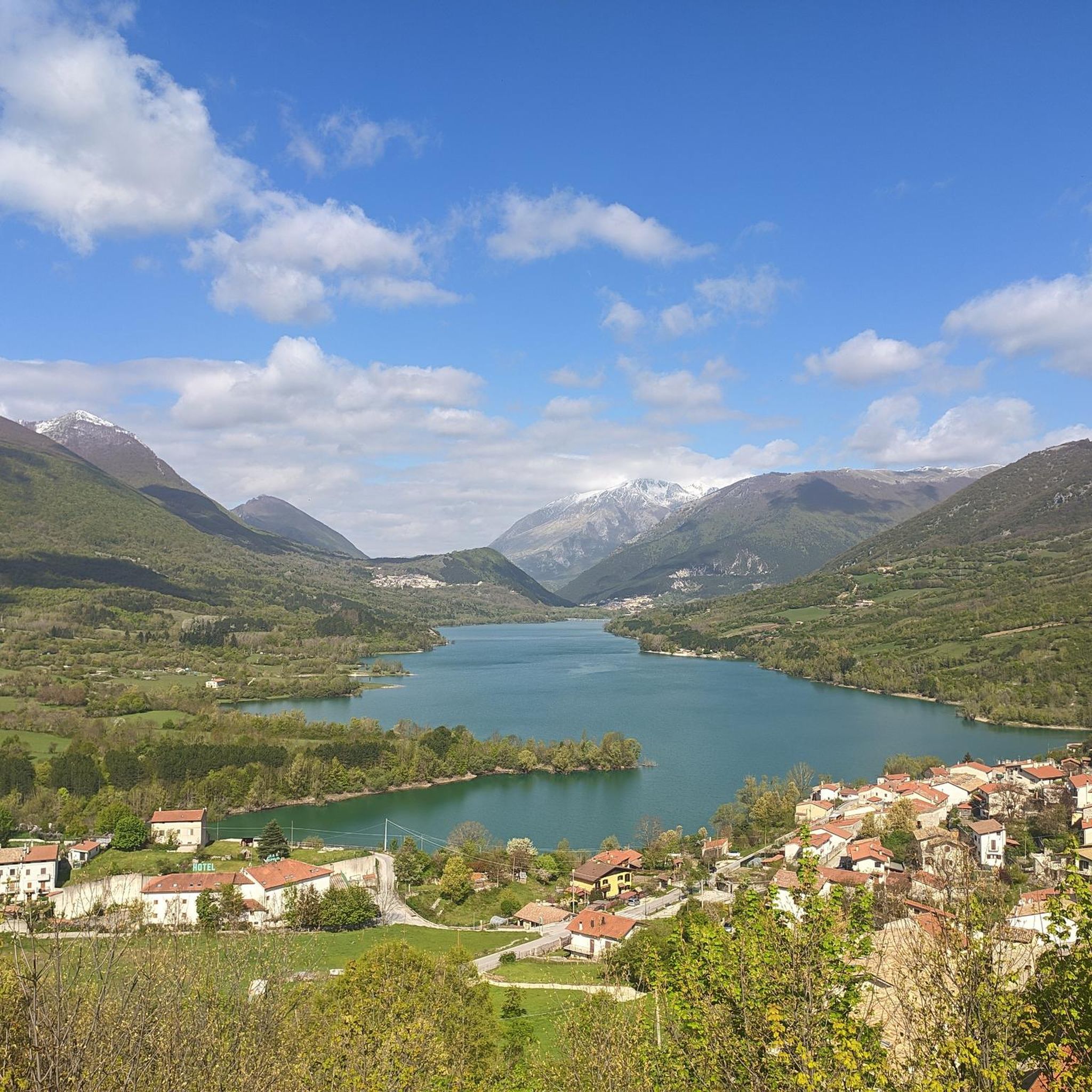
Running Trails around Rocca Di Mezzo

Other adventures in L'Aquila

Tratturo Magno – On the roads of transhumance

Hiking Collection by

Marika Abbà

Tips from the Community

🇧🇪 Herwig Aertbeliën
June 27, 2026, Rifugio Duca degli Abruzzi

OPENING HOURS, always useful to know before you go up! Rifugio Duca degli Abruzzi is open daily for the summer season. The opening hours and seasons are arranged as follows: summer season (continuously open) Period: From June 15 to the end of September, the mountain hut is open non-stop every day. Daytime (kitchen/bar): You can usually go there from approx. 08:30 to 17:00 for drinks, snacks, and lunch. Overnight stay: If you have booked an overnight stay in advance, you can join for dinner in the evening. Autumn, Winter & Spring (limited opening) Period: from October to May. Days: The hut is then in principle only open on weekends (Friday evening to Sunday afternoon), provided the weather and snow conditions allow it safely. Closure: the hut often closes completely in the month of November due to the start of the heavy winter snowfall. Important to know: because the mountain hut is located at an altitude of almost 2400 meters, the opening hours are always dependent on the weather. In case of heavy storms, dense fog, or sudden snowfall, the hut may remain unexpectedly closed. Do you want to be sure whether the manager is present or do you want to book a place to sleep? Check the current status via the official CAI Booking Platform or contact the managers directly via +39 388 186 7703.

Translated by Google

3

0

Rifugio Duca degli Abruzzi is located at an altitude of 2,388 meters on Monte Portella and is one of the most beautiful viewpoints in the Gran Sasso massif. The mountain hut, built in 1908 by the Italian Alpine Club (CAI), is named after the famous explorer and mountaineer Luigi Amedeo of Savoy. From the terrace, you can enjoy a spectacular 360° panorama over the Campo Imperatore plateau, the imposing Corno Grande – the highest peak in the Apennines at 2,912 meters – and the rugged Val Maone. The relatively short hike to the hut immediately offers a real high-mountain feeling and is an ideal stopover for lunch or an espresso, but also serves as a starting point for more challenging climbs. Historical fact: just below the mountain hut lies the Hotel Campo Imperatore, where Benito Mussolini was held captive in 1943. From this area, he looked out over the endless peaks of the Apennines until he was freed by a glider during the spectacular German rescue operation, Operation Oak. This combination of impressive nature, mountaineering history, and a remarkable chapter from World War II makes a visit to Rifugio Duca degli Abruzzi extra memorable.

Translated by Google

3

0

Given the steepness, trekking poles are recommended.

Translated by Google

0

0

An ideal place for a short but rewarding walk outside the town center. The trail is lit even in the evening.

Translated by Google

0

0

A Classic from Campo Imperatore, I recommend excursions even for those who are new to the area, beautiful panorama

Translated by Google

0

0

Rifugio Garibaldi is located in Campo Pericoli, in the heart of Gran Sasso. It is a historic refuge, currently undergoing renovation. A room for emergency bivouac is always available. The reopening should be scheduled for the summer season of 2025, but I recommend contacting CAI l'Aquila for updated information: https://cailaquila.it/rifugi-e-bivacchi-cai-laquila/rifugio-giuseppe-garibaldi-loc-campo-pericoli/

Translated by Google

3

0

Great view!

1

0

Fantastic views here in Abruzzo

Translated by Google

0

0

Frequently Asked Questions

How many running routes are available in L'Aquila?

L'Aquila offers a wide variety of running routes, with over 600 trails recorded on komoot. These range from easy paths to very challenging mountain runs, catering to all fitness levels.

Are there easy running routes suitable for beginners in L'Aquila?

Yes, L'Aquila has several easy running routes perfect for beginners or those looking for a relaxed jog. A popular choice is the Lake Scanno Loop, a scenic 2.9-mile path around the picturesque heart-shaped lake with minimal elevation gain.

What kind of terrain can I expect on L'Aquila's running trails?

The terrain in L'Aquila is incredibly varied, reflecting its diverse natural landscapes. You can find everything from vast high-altitude plateaus like Campo Imperatore with endless grasslands, to challenging mountain trails in the Gran Sasso range, and gentler paths along scenic lakes and through natural parks. Many routes also utilize ancient mule tracks and wide dirt roads.

Are there any running routes that offer spectacular views or pass by natural landmarks?

Absolutely. The region is rich in natural beauty. For breathtaking views, consider routes around Monte Portella from Campo Imperatore, or the Rifugio Duca degli Abruzzi e Monte Aquila loop, both offering stunning vistas of the Gran Sasso mountains. The Lake Scanno Loop provides beautiful lakeside scenery.

Can I find challenging long-distance running trails in L'Aquila?

Yes, L'Aquila is an excellent destination for challenging long-distance runs, especially in the high mountains. The Gran Sasso SkyRace is a difficult 12.7-mile trail with significant elevation gain, perfect for experienced runners seeking a demanding workout in a majestic setting.

Are there any circular running routes in the L'Aquila area?

Many of L'Aquila's running routes are designed as loops, offering varied scenery without retracing your steps. Examples include the Val d'Arano loop run from Ovindoli, the Lake Scanno Loop, and the Monte Camicia and Monte Tremoggia loop tour.

What do other runners enjoy most about jogging in L'Aquila?

The running routes in L'Aquila are highly rated by the komoot community, with an average score of 4.4 stars from nearly 90 reviews. Runners often praise the region's diverse and dramatic natural landscapes, from the majestic Gran Sasso mountains to the serene Lake Scanno, and the variety of trails suitable for all abilities.

Are there any waterfalls I can see along running routes in L'Aquila?

While not directly on every running route, the L'Aquila region is home to several beautiful waterfalls that can be visited. Notable ones include the Fonte degli Innamorati Waterfall and the Stiffe Waterfall. You might find routes that pass near these natural attractions or make for a good detour.

What is the best time of year to go running in L'Aquila?

L'Aquila offers favorable conditions for running across different seasons. Summer is ideal for exploring high-altitude plateaus like Campo Imperatore. Spring and autumn provide pleasant temperatures for lower-elevation trails. Winter running is possible, especially on less exposed routes, but higher mountain trails may require specialized gear due to snow and ice.

Are there running routes suitable for families in L'Aquila?

Yes, families can enjoy gentler running paths in L'Aquila. The Lake Scanno Loop is an excellent option, offering a relatively flat and scenic path that is enjoyable for all ages. Local parks within L'Aquila, such as Parco del Sole, also provide green and accessible spaces for family jogs.

Are there any running trails in L'Aquila that are dog-friendly?

Many of the natural trails and paths in the L'Aquila region are suitable for running with dogs, especially those in less crowded areas and regional parks. It's always recommended to keep dogs on a leash, especially in protected areas like the Sirente-Velino Regional Park or near wildlife, and to check local regulations for specific trails.

What are some other natural features or parks to explore while running in L'Aquila?

Beyond the Gran Sasso, the region boasts the Sirente-Velino Regional Park, home to the Aterno River and impressive canyons. The Abruzzo, Lazio and Molise National Park, one of Italy's oldest, also offers an extensive network of trails. For a different experience, the Val Fondillo and Grotta delle Fate route provides a scenic run within a national park setting.

Most popular routes in L'Aquila

Hiking in L'Aquila

Most popular attractions in L'Aquila

Places to see

Store rating

Get inspired with the komoot mobile app

With a free komoot account, you can easily find, customize, and navigate endless outdoor adventures.

or

Join komoot Now

Store rating

Didn’t find what you were looking for?

Check out more Running Trails & Routes throughout L'Aquila below and find the perfect route in your destination.

OvindoliCollepietroCastelvecchio SubequoCappadociaOrtucchioCollarmeleFossaRocca PiaVillavallelongaPrezzaPacentroScoppitoPratola PelignaMassa D'AlbeRocca Di CambioSan Demetrio Ne' VestiniSant'Eusanio ForconeseTornimparteCarapelle CalvisioSanto Stefano Di SessanioCapitignanoMonterealeCampotostoParco Nazionale della MajellaCastelvecchio CalvisioCelanoFagnano AltoLake CampotostoLake ScannoParco naturale regionale Sirente-VelinoAlfedenaPescasseroliCalascioMorinoCastel Di SangroRoccarasoRivisondoliCivita D'AntinoLecce Nei MarsiPescocostanzoScannoTrasaccoSan Benedetto Dei MarsiBugnaraPescinaGoriano SicoliTagliacozzoCanistroRoccacasaleAielliTione Degli AbruzziCivitella RovetoCagnano AmiternoMagliano De' MarsiLake BarreaBariscianoCastel Di IeriSecinaroVilla Sant'AngeloAvezzanoVilletta BarreaSan Pio Delle CamereNational Park of AbruzzoPettorano Sul GizioOcreOfenaIntrodacquaGioia Dei MarsiNavelliBarreaOpiCaporcianoAccianoCapistrelloCorfinioCansanoCerchioLuco Dei MarsiRaianoSan Vincenzo Valle RovetoVillalagoBisegnaRocca Di MezzoOrtona Dei MarsiPrata D'AnsidoniaSulmonaVittoritoSan Benedetto In PerillisMolina AternoOricolaSante MariePeretoCampo Di GioveScontroneVilla Santa Lucia Degli AbruzziGagliano AternoCastel Del MonteBareteAteletaCarsoliFontecchioScurcola MarsicanaAnversa Degli AbruzziBalsoranoLucoliCastellafiumeCoculloCollelongoBoschi AquilaniPoggio PicenzeCapestranoPizzoliCivitella Alfedena

Explore more

Browse the best Running Trails & Routes in other regions.

Nearby adventure guides

Things to Do around Aielli

background

Get ready to conquer new peaks

Sign up for Free

Explore
RoutesRoute plannerFeaturesHikesMTB TrailsRoad cycling routesBikepackingSitemap
Download the app
Follow Us on Socials

© komoot GmbH

Privacy Policy