The best running trails around Saint-Santin-Cantalès
5.0
(4)
642
runners
62
runs
Jogging routes around Saint-Santin-Cantalès traverse a region characterized by rolling, wooded terrain and preserved natural sites in the Cantal department of south-central France. The area features diverse landscapes, including the large artificial Lac de Saint-Étienne-Cantalès and the hilly Châtaigneraie Cantalienne. Joggers can explore numerous trails through forests and pastures, offering varied terrain and scenic views. The natural environment provides ample opportunities for outdoor exercise amidst the serene landscapes.
Best jogging routes around Saint-Santin-Cantalès
- The most popular jogging route is GR652:…
Last updated: June 29, 2026
4
runners
16.6km
02:10
440m
440m
This difficult 10.3-mile jogging trail in the Cère Gorges offers 1433 feet of elevation gain and a deep immersion in nature.
18
runners
13.8km
01:37
270m
270m
Moderate run. Good fitness required. Mostly paved surfaces. Suitable for all skill levels.

Sign up for free
10
runners
9.62km
01:02
140m
150m
Moderate run. Good fitness required. Mostly paved surfaces. Suitable for all skill levels.
5
runners
5.79km
00:37
90m
90m
Moderate run. Good fitness required. Mostly paved surfaces. Suitable for all skill levels.
4
runners
8.25km
00:57
160m
160m
Moderate run. Good fitness required. Mostly paved surfaces. Suitable for all skill levels.
Get access to more routes and recommendations from other explorers.
Sign up for free
Already have an account?
Our route recommendations are based on thousands of hikes, rides, and runs completed by other people on komoot.
Start today with a free account
Your next adventure awaits.
Login or Signup
Tips from the Community

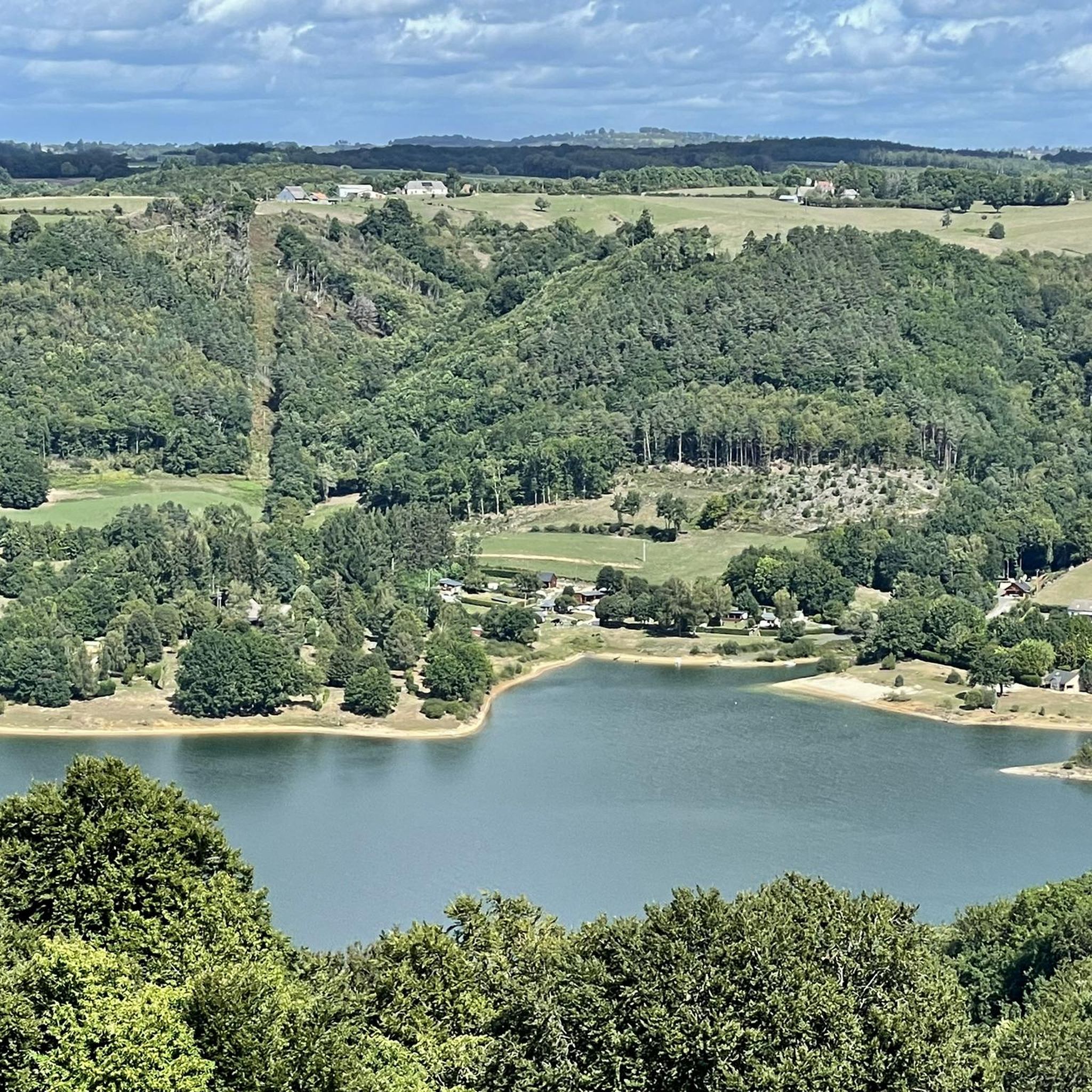
Small town with a fantastic panorama. Church, castle, and river.
0
0

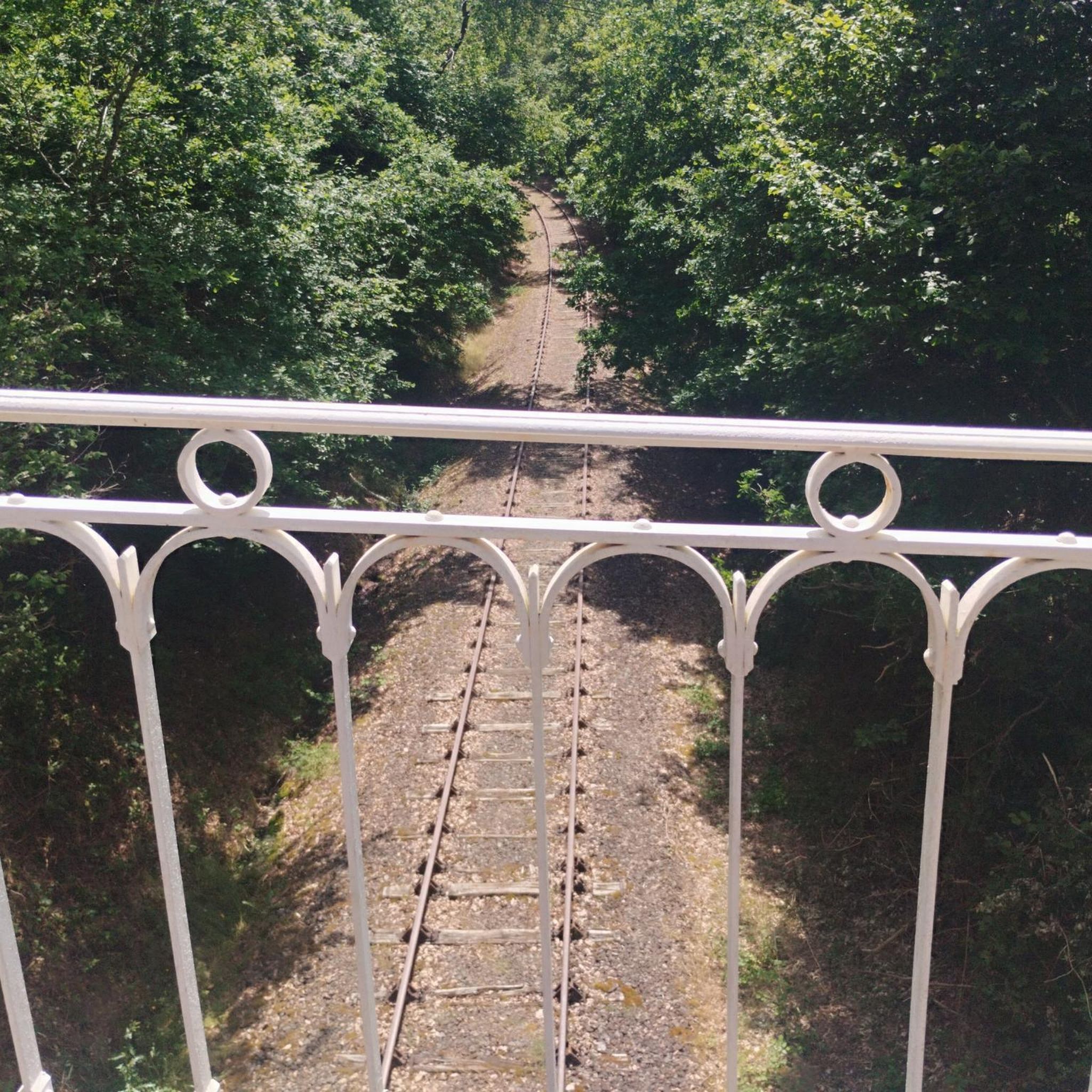
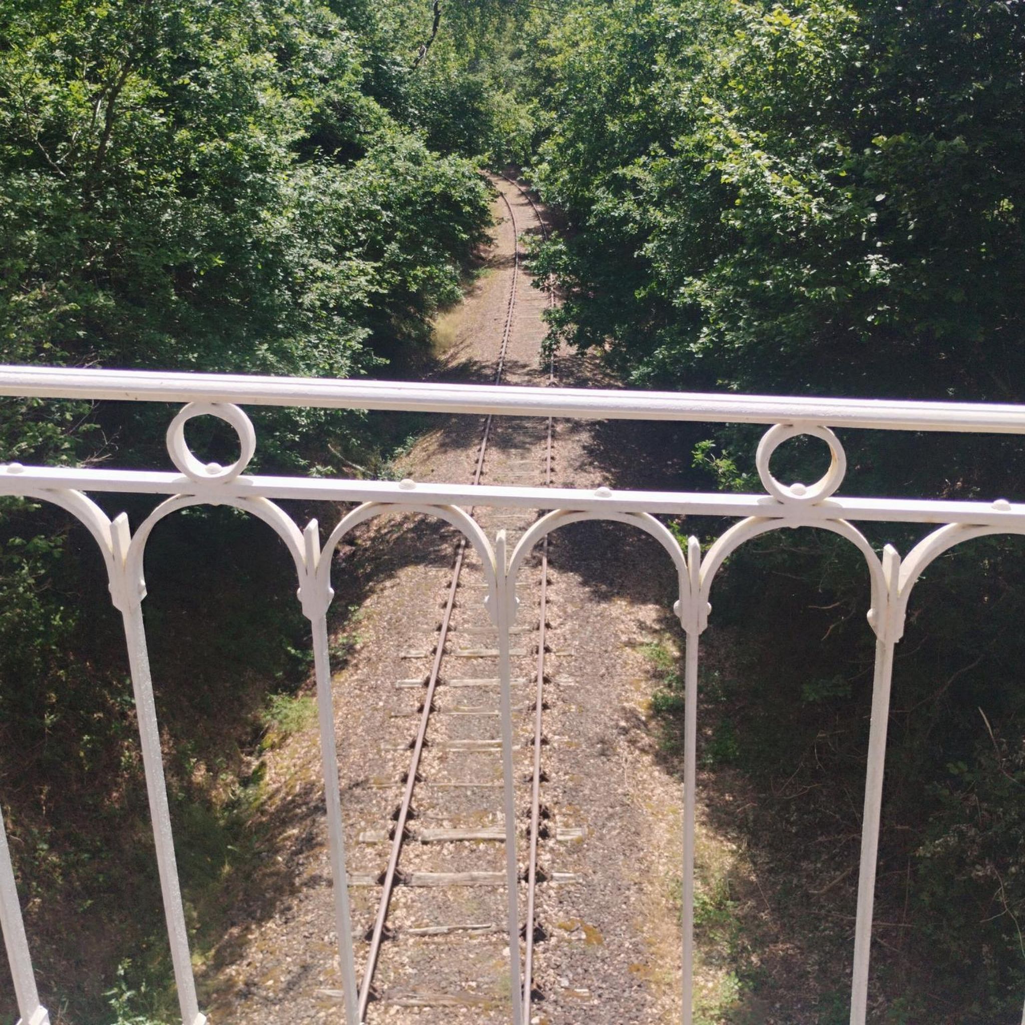
Former SNCF station and old bridge over the Cère.
0
0
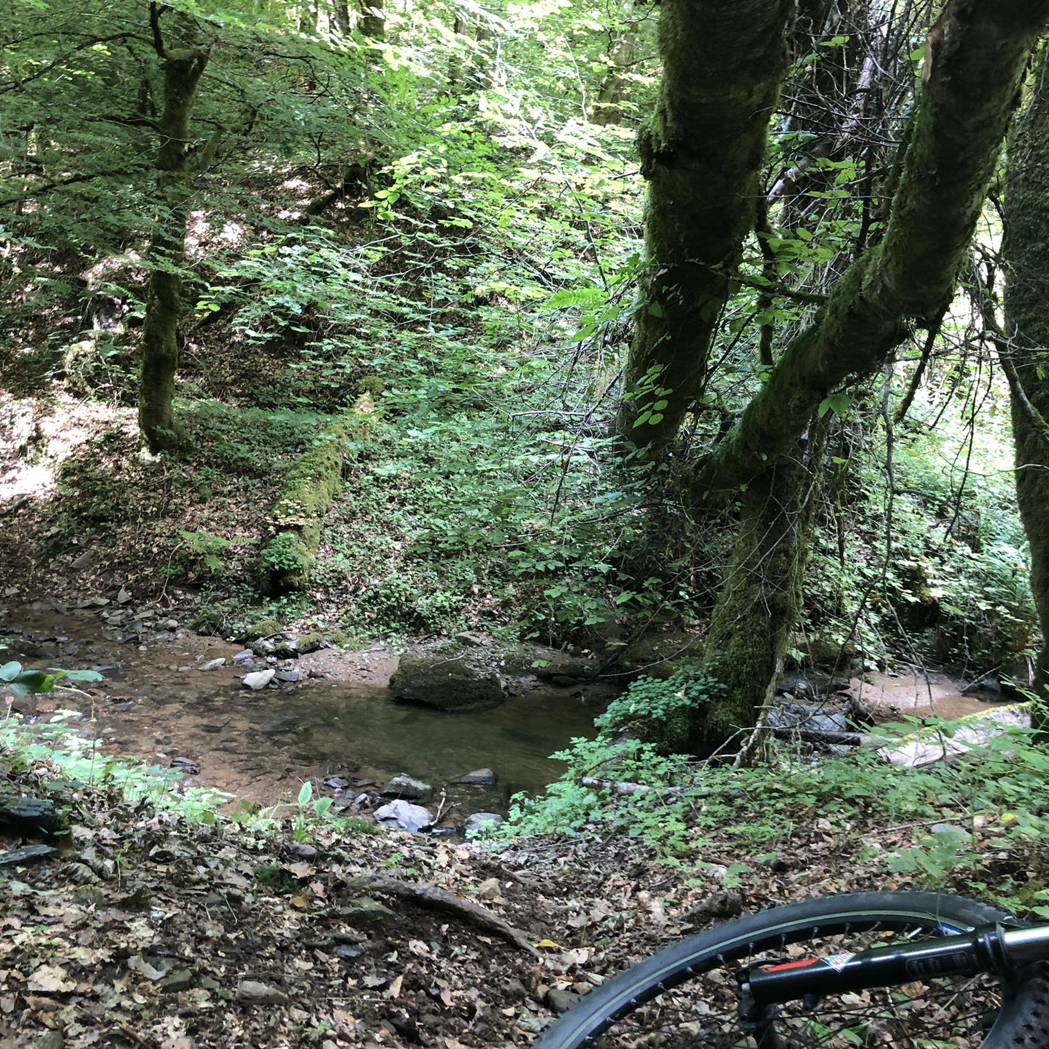
The Cère gorges meander for 20/30km from Laroquebrou on the border of Cantal, Corrèze and Lot. A GR (the GR652) takes this magnificent path.
0
0

Small city of character, along the Cère river, at the entrance to the gorges. Superb little streets, medieval castle and white Virgin from which you can discover a panoramic view.
2
0
Frequently Asked Questions
How many running routes are available in the Saint-Santin-Cantalès area?
The Saint-Santin-Cantalès region offers a wide selection of running routes. There are around 60 routes available, catering to various fitness levels and preferences.
What kind of terrain can I expect on the running trails around Saint-Santin-Cantalès?
The terrain around Saint-Santin-Cantalès is quite varied, characterized by rolling, wooded landscapes and preserved natural sites. You'll find trails through forests, pastures, and along the shores of Lac de Saint-Étienne-Cantalès, offering diverse surfaces and scenic views.
What do other runners say about the trails in Saint-Santin-Cantalès?
The running routes in Saint-Santin-Cantalès are highly regarded by the komoot community, holding an average rating of 4.75 stars from 7 reviews. Over 600 runners have explored the area, often praising the varied terrain and beautiful natural surroundings.
Are there running routes suitable for beginners or those looking for an easier jog?
Yes, the region offers options for all abilities. While many routes are moderate, there are at least 2 easy running routes available. For example, the La Cère loop from Laroquebrou is a moderate 7.8-mile trail that is often enjoyed by those looking for a less strenuous run through the river valley.
Are there any challenging running routes for experienced runners?
Absolutely. For experienced runners seeking a challenge, there are 13 difficult routes in the area. A notable option is GR652: Cère Gorges from Laroquebrou, a 10.3-mile trail that takes you through the scenic Cère Gorges with varied and demanding terrain.
What are some scenic highlights or landmarks I can see while running?
Many routes offer stunning views and pass by interesting landmarks. You might encounter the spectacular Himalayan suspension bridge at Lake Cantalès, enjoy a viewpoint over Lake St-Étienne-Cantalès, or pass by historical sites like Château de Laroquebrou. The region is also known for its picturesque villages and natural sites like 'La Garenne' with diverse flora.
Are there running routes that offer views of Lac de Saint-Étienne-Cantalès?
Yes, the Lac de Saint-Étienne-Cantalès is a major feature of the region, and many trails provide magnificent vistas of the water and the surrounding verdant Cantal hills. The circuits around the lake are particularly popular for their panoramic views.
Can I bring my dog on the running trails in Saint-Santin-Cantalès?
The Saint-Santin-Cantalès area, with its extensive network of outdoor trails through forests and pastures, is generally welcoming to dogs. However, it's always recommended to keep your dog on a leash, especially in protected natural areas like 'La Garenne' or 'Puech de Salvageau' (Natura 2000 sites), and to respect local signage and wildlife.
Are there family-friendly running options or routes suitable for strollers?
While many trails feature varied terrain, some of the easier and moderate routes through forests and pastures can be suitable for families. For stroller-friendly options, look for routes with smoother, wider paths, often found closer to villages or along designated lake circuits. Always check the route details for specific terrain information.
Where can I find parking near the running trailheads?
Parking is generally available in or near the villages that serve as starting points for many routes, such as Laroquebrou or Saint-Santin-Cantalès itself. For routes around Lac de Saint-Étienne-Cantalès, there are often designated parking areas near popular access points and beaches.
What is the best time of year to go running in Saint-Santin-Cantalès?
The region is beautiful throughout the year, but spring and autumn offer particularly pleasant conditions for running with milder temperatures and vibrant natural colors. Summer is also popular, especially around the lake, but can be warmer. Winter running is possible, but some higher elevation trails might be affected by snow or ice.
Are there any circular running routes in the region?
Yes, many of the running routes in Saint-Santin-Cantalès are designed as loops, allowing you to start and finish in the same location. Examples include La Halte de Siran loop from Laroquebrou and Laroquebrou loop from Laroquebrou, providing convenient options for exploration.
Are there places to eat or stay near the running trails?
Yes, the villages in the area, such as Saint-Santin-Cantalès and Laroquebrou, offer various amenities including cafes, restaurants, and accommodation options. You'll find places to refuel and rest after your run, often with local Cantal specialties.
Most popular routes around Saint-Santin-Cantalès
Most popular attractions around Saint-Santin-Cantalès

Get inspired with the komoot mobile app


Explore more
Browse the best Running Trails & Routes in other regions.
