The best running trails in Louth
4.6
(8)
1,401
runners
104
runs
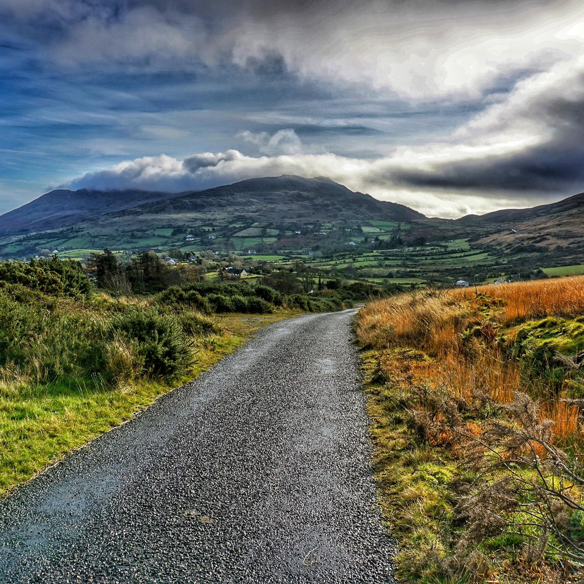
Jogging routes in Louth, Ireland, traverse a diverse landscape, from the challenging mountainous terrains of the Cooley Mountains to serene coastal paths and lush woodlands. The region is characterized by its greenways along rivers and loughs, offering accessible running paths. Natural features like the River Boyne and Carlingford Lough provide scenic backdrops for various running and walking experiences.
Best jogging routes in Louth
- The most popular jogging route is The River Boyne from Drogheda on the Boyne Greenway, a 7.3 miles (11.8 km) trail that takes 1 hour 13 minutes to complete. This route follows the scenic River Boyne, passing the Boyne Canal.
- Another top favourite among local runners is Ravensdale Forest loop, a moderate 4.6 miles (7.3 km) path. This loop offers a peaceful woodland environment with varied running trails.
- Local runners also love the Slieve Foye and Barnevave loop from Carlingford, a 9.6 miles (15.4 km) trail leading through the Cooley Mountains, often completed in about 2 hours 22 minutes.
- Jogging in Louth is defined by its mountainous terrain, coastal paths, and greenways along the River Boyne and Carlingford Lough. The network offers options for different ability levels, from accessible riverside paths to challenging mountain ascents.
- The routes in Louth are highly rated by the komoot community with an average score of 4.6 stars from over 5 reviews. More than 1,300 runners have used komoot to explore Louth's varied terrain.
Last updated: October 10, 2026
79
runners
11.8km
01:13
70m
70m
Moderate run. Good fitness required. Mostly paved surfaces. Suitable for all skill levels.
15
runners
7.34km
01:02
270m
270m
Moderate run. Good fitness required. Mostly paved surfaces. Suitable for all skill levels.

5.0
(1)
5
runners
15.4km
02:22
780m
780m
Hard run. Very good fitness required. Sure-footedness, sturdy shoes and alpine experience required.
3
runners
24.0km
02:56
680m
680m
Jog the difficult 14.9-mile Táin Way, gaining 2219 feet in under 3 hours, with panoramic views across Carlingford Lough.
77
runners
19.7km
02:02
80m
80m
Hard run. Very good fitness required. Mostly paved surfaces. Suitable for all skill levels.
5.0
(1)
56
runners
16.0km
01:39
60m
60m
Hard run. Very good fitness required. Mostly paved surfaces. Suitable for all skill levels.
4.5
(2)
51
runners
10.0km
01:02
60m
60m
Moderate run. Good fitness required. Mostly paved surfaces. Suitable for all skill levels.
42
runners
8.35km
00:52
30m
30m
Moderate run. Good fitness required. Mostly paved surfaces. Suitable for all skill levels.
5.0
(1)
36
runners
9.64km
01:00
30m
30m
Moderate run. Good fitness required. Mostly paved surfaces. Suitable for all skill levels.
24
runners
6.70km
00:41
20m
20m
Moderate run. Good fitness required. Mostly paved surfaces. Suitable for all skill levels.
Get access to more routes and recommendations from other explorers.
Already have an account?
Our route recommendations are based on thousands of hikes, rides, and runs completed by other people on komoot.
Start today with a free account
Your next adventure awaits.
Popular around Louth
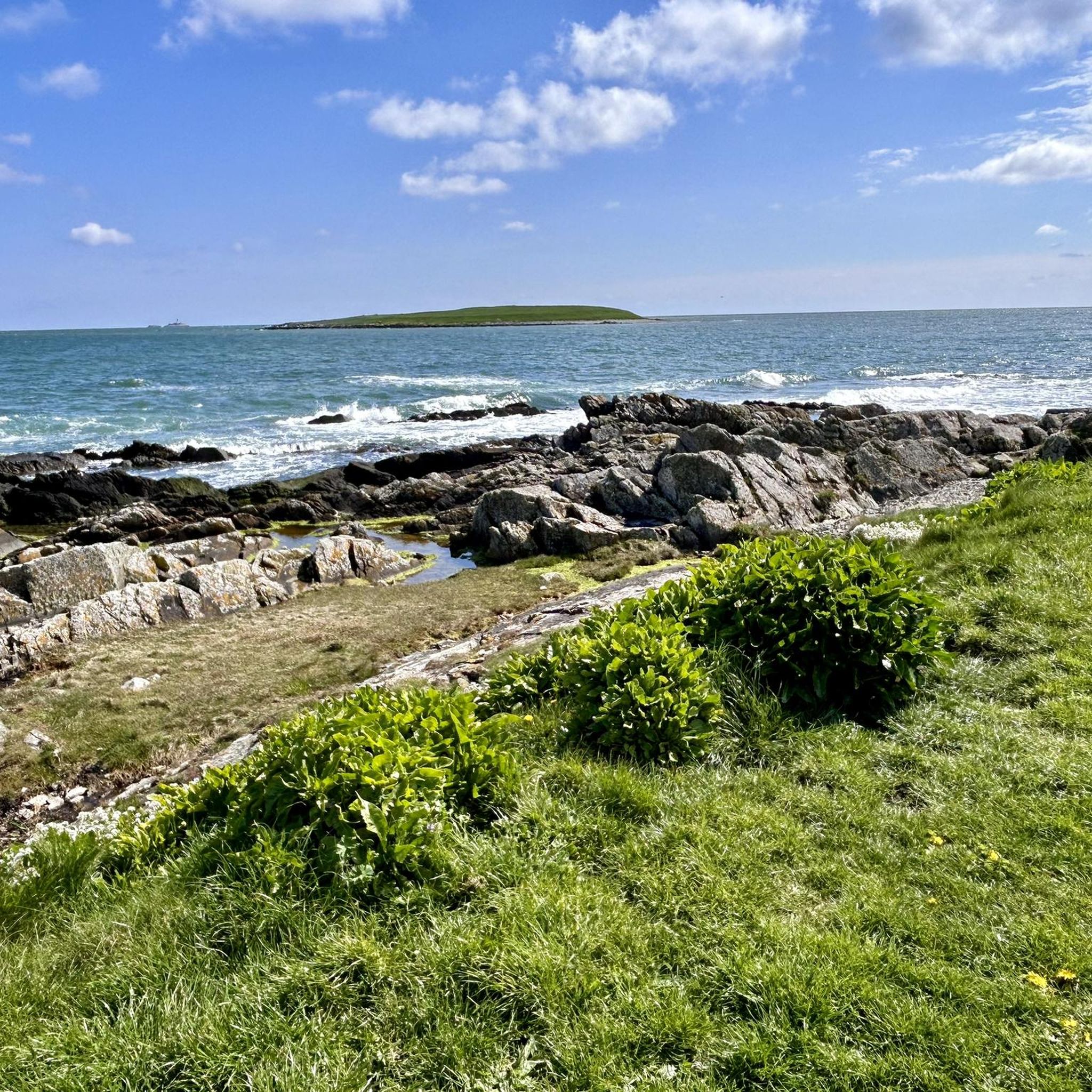
Running Trails around The Municipal District of Dundalk
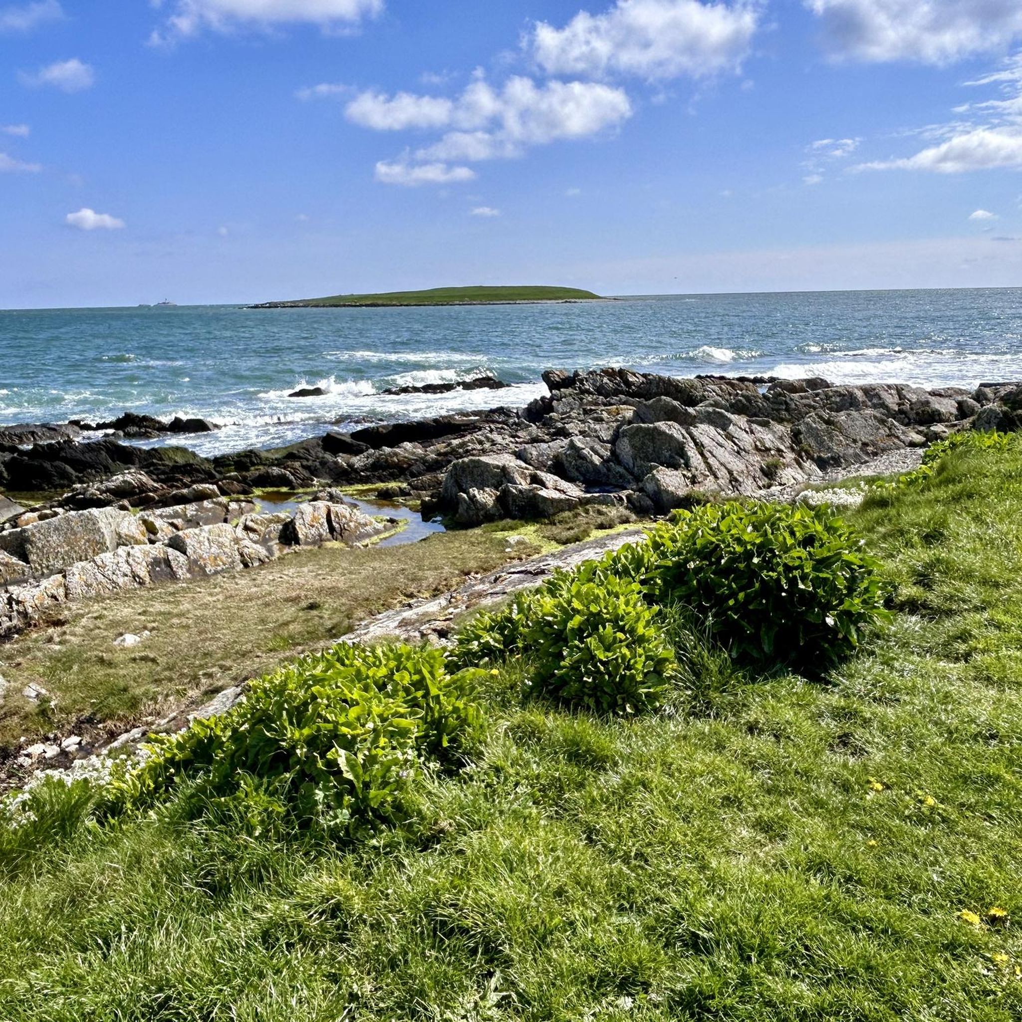
Running Trails around Drogheda
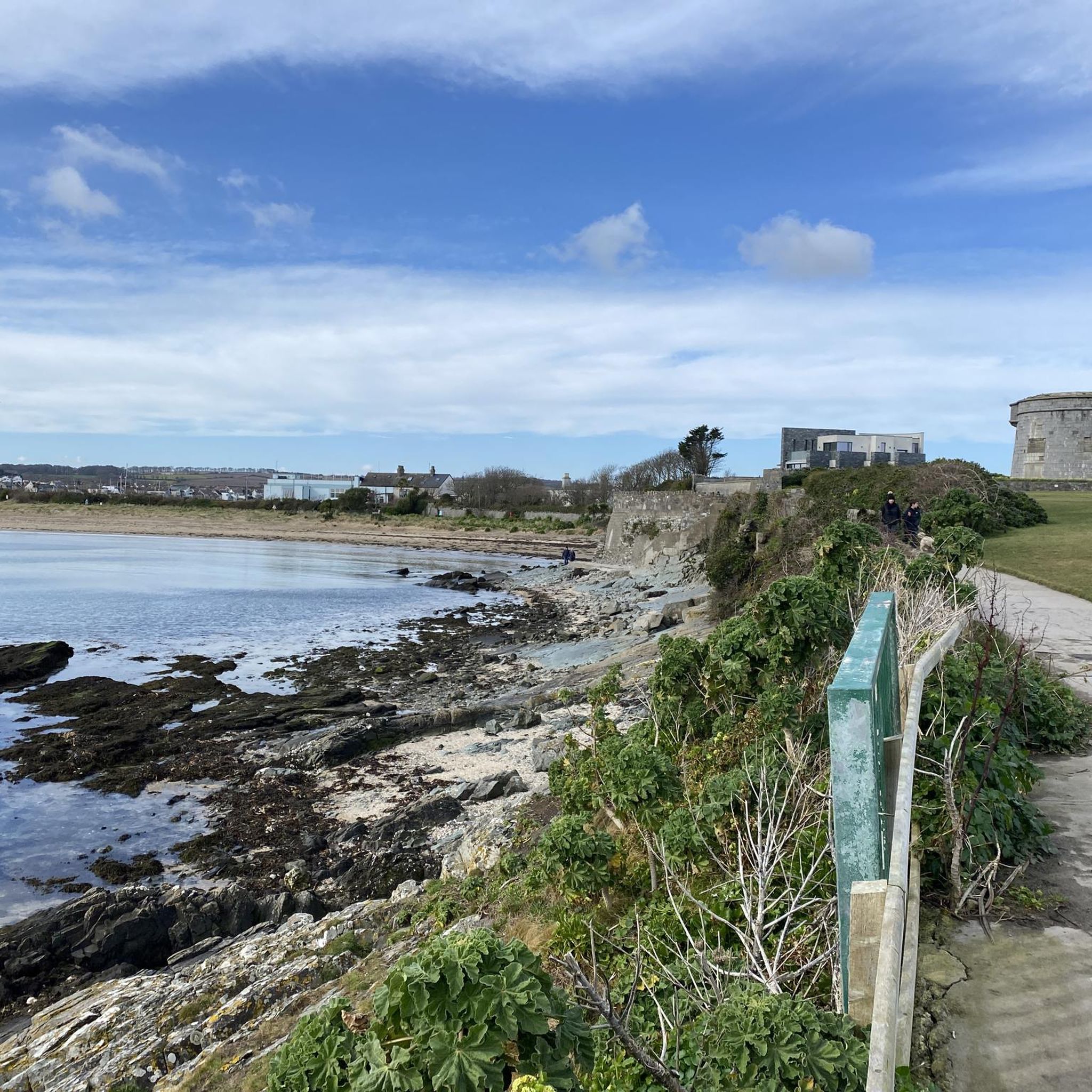
Running Trails around Ardee
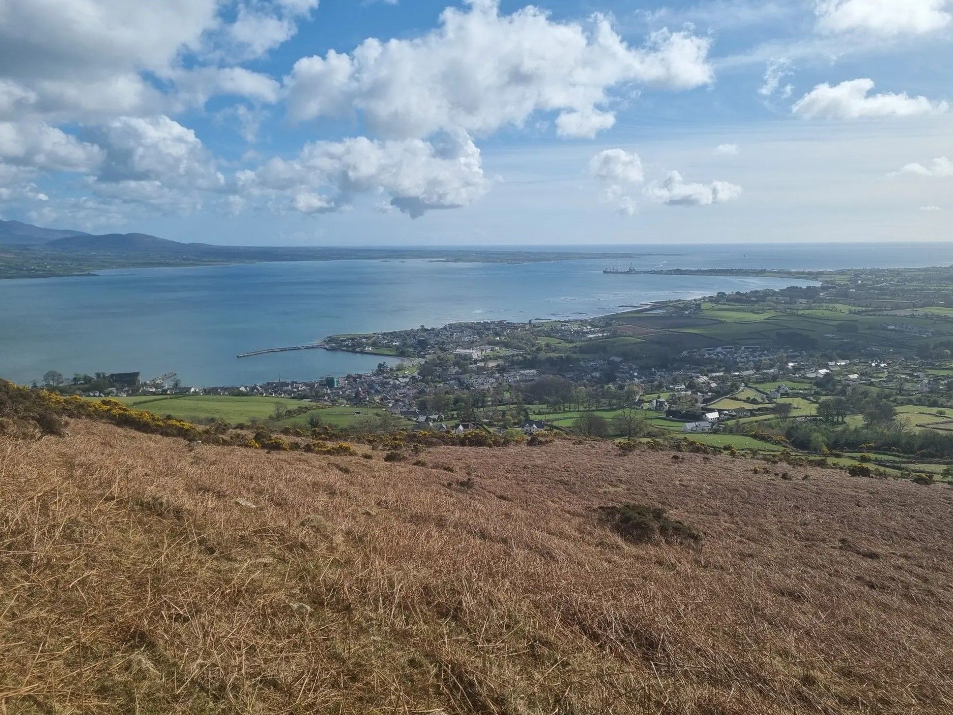
Táin Way – exploring the Cooley Peninsula

Between waves and peaks — to the best views in Ireland
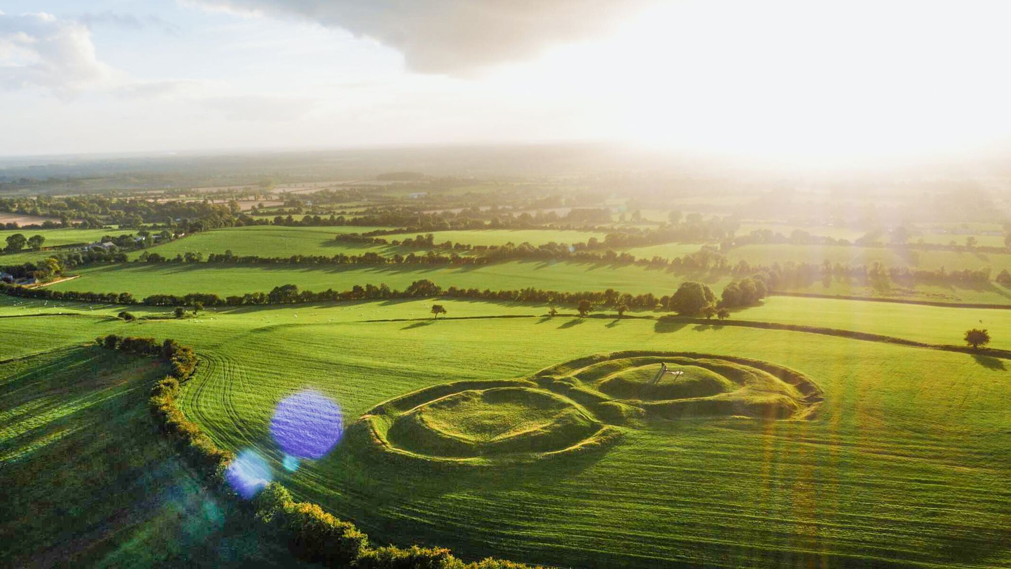
The magical east of Ireland – ancient places, scenic lakes and rocky mountains
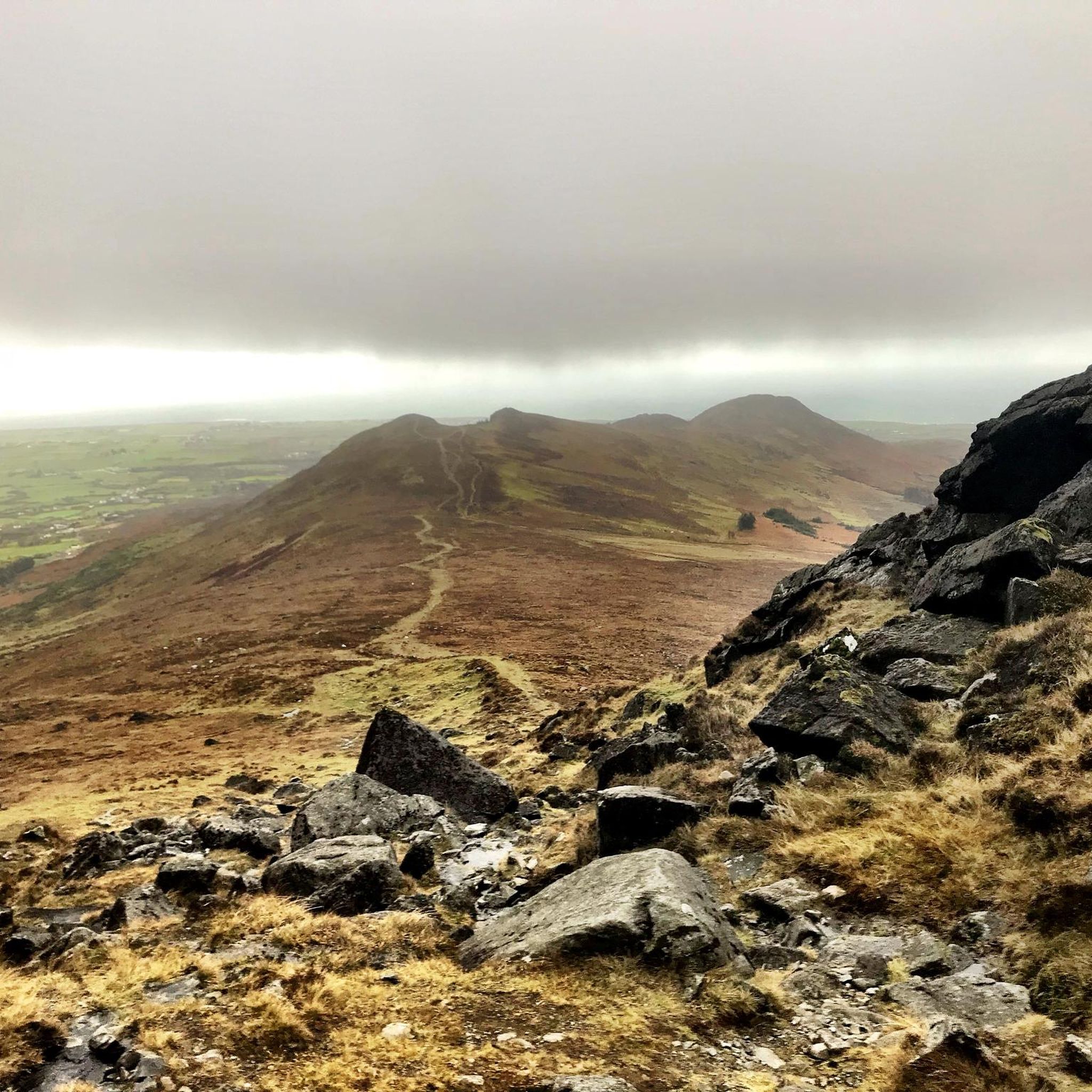
Hiking in Louth
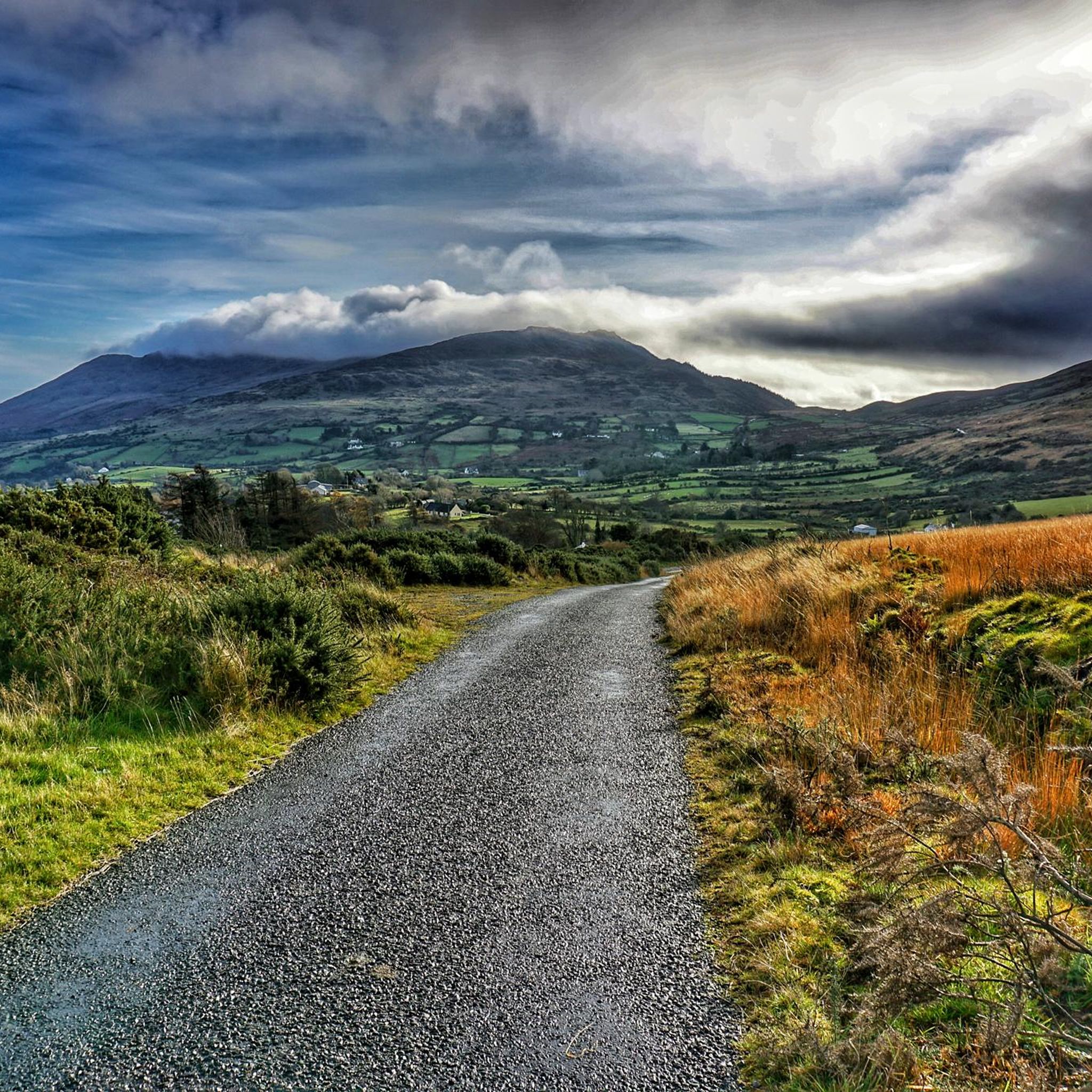
Road Cycling Routes in Louth
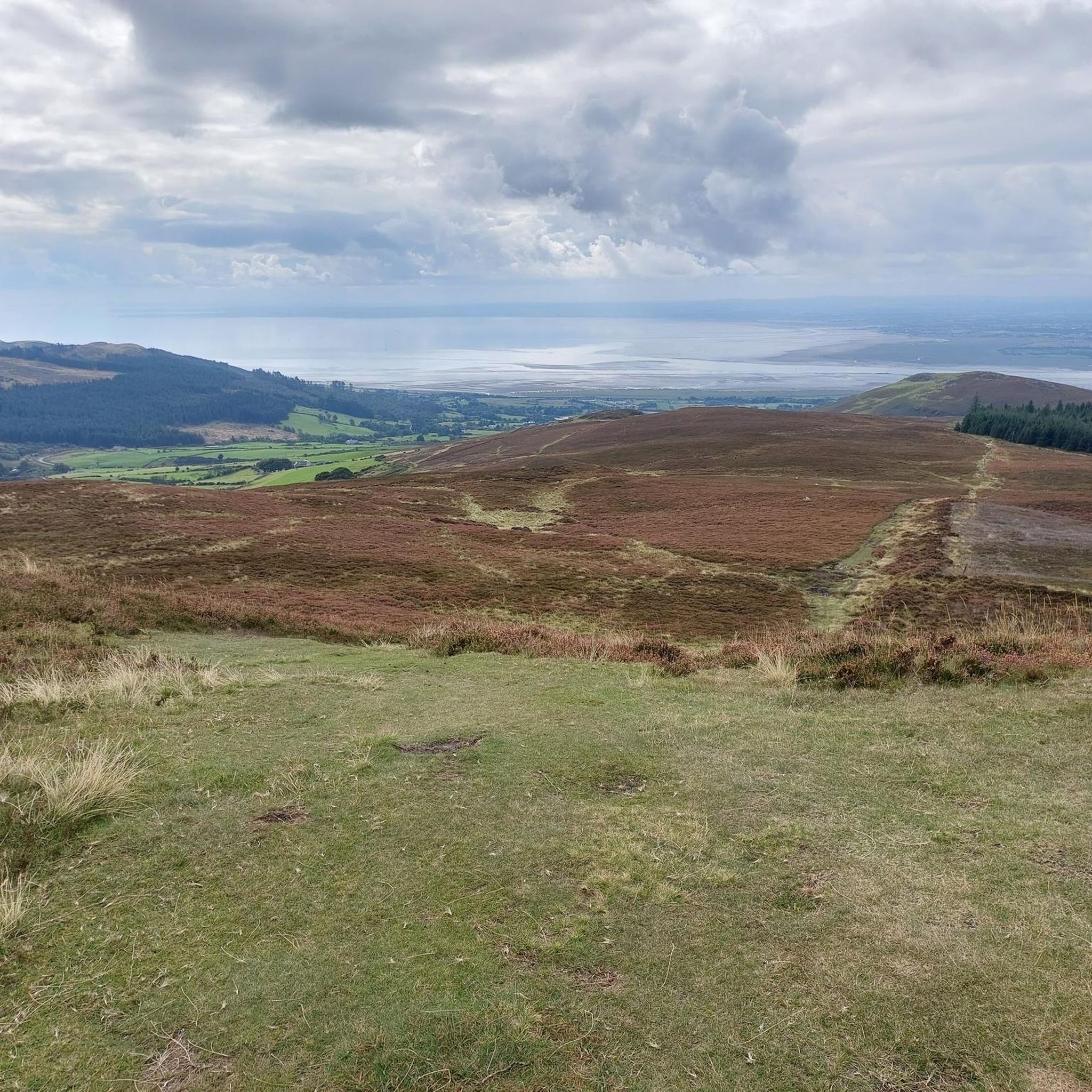
Cycling in Louth
MTB Trails in Louth


Tips from the Community

Taaffes Castle (2026-08-07): https://taaffescastle.com/ TRIPADVISOR (Taaffes Castle Bar, 2026-08-07): https://www.tripadvisor.ie/Restaurant_Review-g315880-d2223151-Reviews-Taaffes_Castle_Bar-Carlingford_Cooley_Peninsula_County_Louth.html
1
0

Along the Rathmullan Road, St. Dominic’s Park is a 16-acre urban oasis that serves as a beautiful, tranquil escape right in the heart of Drogheda. Gateway to the Boyne Greenway: It serves as the perfect starting point for the 4.5km riverside walk/cycle to the Battle of the Boyne Visitor Centre at Oldbridge, complete with stunning views of the Mary McAleese Cable Bridge.
1
0

Saint Dominic's Park is a popular area on the south bank of the River Boyne in Drogheda. There are children's play facilities, grass areas, trees and some planted flower beds. There is also a nice figure-of-eight shape path and access to the river trail.
0
0

The Boyne River Greenway takes you on a peaceful journey through Ireland's history. This beautifully crafted trail follows the winding River Boyne from the lively quays of Drogheda to the historic fields of Oldbridge. You'll cycle through a landscape of lush woodlands and rolling riverbanks, far from traffic. Along the way, you'll pass information boards telling the story of the legendary Battle of the Boyne. Whether you come for the nature, the fresh air, or the unique heritage of the Boyne Valley; this green artery offers a relaxing and inspiring experience for every cyclist.
5
0
The Boyne River Greenway takes you on a relaxing journey through Ireland's history. This beautifully crafted trail follows the winding River Boyne from the vibrant quays of Drogheda to the historic fields of Oldbridge. You'll cycle through a landscape of lush woodlands and rolling riverbanks, far from traffic. Along the way, you'll pass information boards that tell the story of the legendary Battle of the Boyne. Whether you come for the nature, the fresh air, or the unique heritage of the Boyne Valley; this green artery offers a relaxing and inspiring experience for every cyclist.
6
0
The riverside path is a multi-user, surfaced trail which runs from Saint Dominic's Park to the Battle of the Boyne Visitor Centre in Oldbridge. It's only 4.5 km (3 miles) but it's a great trail to escape the city.
0
0
Remains of the medieval Dominican priory on the west side of Carlingford, recognisable by its high, narrow windows and the elongated ruin wing in grey stone. The site lies quietly just outside the centre, with views of the hills and the open grass around the old priory walls.
5
1
This charming seaside town overlooks the Mourne Mountains, whose silhouette rises along the coast of Northern Ireland. Carlingford is very lively at weekends thanks to its many pubs and restaurants, which attract visitors from the north, and is famous for its oysters. The village has several historical sights, such as the small King John's Castle, with its romantic silhouette overlooking the sea, and Taaffe's Castle, a former 16th-century merchant's house located a little further from the quay.
6
0
Frequently Asked Questions
How many running routes are available in Louth?
Louth offers a wide selection of running routes, with over 100 options available on komoot. These routes cater to various preferences, from easy riverside paths to challenging mountain ascents. You'll find 18 easy routes, 69 moderate routes, and 26 difficult routes to explore.
What types of terrain can I expect on running trails in Louth?
Running trails in Louth feature diverse terrain, ranging from the challenging mountainous landscapes of the Cooley Mountains to serene coastal paths and lush woodlands. You can also find accessible greenways along the River Boyne and Carlingford Lough, offering smoother surfaces for your run.
Are there any family-friendly jogging routes in Louth?
Yes, Louth has several running routes suitable for families. The greenways, such as the one along the River Boyne, offer relatively flat and accessible paths. For a peaceful woodland experience, consider the Ravensdale Forest loop, which provides varied trails in a tranquil setting.
Can I bring my dog on the running trails in Louth?
Many outdoor areas in Louth, including some running trails, are dog-friendly. However, it's always best to check specific regulations for each route or park, especially regarding leash requirements. Woodland and coastal paths are generally good options for running with your dog.
Are there any circular running routes in Louth?
Yes, Louth features several excellent circular running routes. A popular choice is the Ravensdale Forest loop, which offers a moderate 4.6-mile (7.3 km) path through peaceful woodlands. For a more challenging option, the Slieve Foye and Barnevave loop from Carlingford provides a difficult 9.6-mile (15.4 km) mountain run with panoramic views.
What landmarks or points of interest can I see along Louth's running routes?
Louth's running routes often pass by significant landmarks and natural features. Along the River Boyne Greenway, you'll find the Boyne Canal and the Battle of the Boyne Visitor Centre. In the Cooley Mountains, routes can lead to summits like Slieve Foye Summit and Barnavave Summit, offering stunning views. Ravensdale Forest also features the intriguing Druids' Circle.
Are there running routes with good views in Louth?
Absolutely. Louth is known for its scenic running routes. The Cooley Mountains provide sweeping panoramic views, especially from trails like the Slieve Foye and Barnevave loop, which overlooks Carlingford Lough. Coastal paths and greenways also offer picturesque scenery along the shoreline and rivers.
What do other runners say about the trails in Louth?
The running routes in Louth are highly regarded by the komoot community, with an average score of 4.6 stars from over 7 reviews. More than 1,300 runners have used komoot to explore Louth's varied terrain, often praising the diverse landscapes, from challenging mountain trails to peaceful woodland and scenic coastal paths.
Are there any long-distance running trails in County Louth?
Yes, for those seeking longer runs, County Louth offers options like the Táin Way. This trail provides panoramic views across Carlingford Lough and can be adapted for longer running distances, depending on your fitness level and chosen sections.
Where can I find easy running routes in Louth?
For easier runs, consider the greenways and coastal paths. The River Boyne from Drogheda on the Boyne Greenway is a great option, offering a relatively flat and accessible 7.3-mile (11.8 km) path along the river. There are 18 easy routes in total available on komoot for Louth.
Are there running routes accessible by public transport in Louth?
Many towns and villages in Louth, such as Drogheda and Carlingford, serve as starting points for running routes and are generally accessible by public transport. For instance, the River Boyne Greenway starts in Drogheda, which has good transport links. It's advisable to check local bus or train schedules for specific route access points.
What are the best times of year to go running in Louth?
Louth offers enjoyable running conditions throughout much of the year. Spring and autumn provide pleasant temperatures and beautiful scenery, with changing foliage or blooming wildflowers. Summer is ideal for coastal runs, while winter runs can be invigorating, though waterproof footwear is recommended for potentially soggy mountain trails like those in the Cooley Mountains.
Most popular routes in Louth
Most popular attractions in Louth

Get inspired with the komoot mobile app


Didn’t find what you were looking for?
Check out more Running Trails & Routes throughout Louth below and find the perfect route in your destination.
Explore more
Browse the best Running Trails & Routes in other regions.
