The best running trails around Peyriguère
4.8
(13)
952
runners
68
runs
Jogging around Peyriguère offers a tranquil escape within the Hautes-Pyrénées department, characterized by its hilly topography and varied elevations ranging from 217 to 438 meters. The region features deep, game-filled forests that provide shaded trails and a sense of immersion in nature. Several small streams and natural areas of ecological interest add to the diverse landscape, suitable for trail running. Its location places it within the broader context of the Pyrenees, known for extensive trail networks.
Best jogging routes around…
Last updated: July 4, 2026
19
runners
12.2km
01:33
310m
310m
Hard run. Very good fitness required. Sure-footedness, sturdy shoes and alpine experience required.
5.0
(1)
7
runners
8.76km
00:55
60m
60m
Moderate run. Good fitness required. Mostly paved surfaces. Suitable for all skill levels.

Sign up for free
5
runners
10.9km
01:09
100m
100m
Moderate run. Good fitness required. Mostly paved surfaces. Suitable for all skill levels.
5
runners
10.8km
01:09
130m
130m
Moderate run. Good fitness required. Mostly paved surfaces. Suitable for all skill levels.
5.0
(1)
5
runners
8.81km
01:05
220m
220m
Hard run. Good fitness required. Sure-footedness, sturdy shoes and alpine experience required.
Get access to more routes and recommendations from other explorers.
Sign up for free
Already have an account?
Our route recommendations are based on thousands of hikes, rides, and runs completed by other people on komoot.
Start today with a free account
Your next adventure awaits.
Login or Signup

Tips from the Community

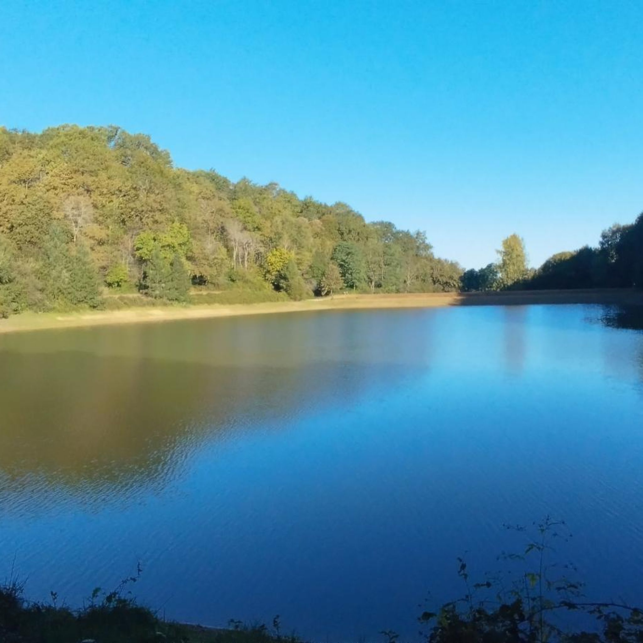
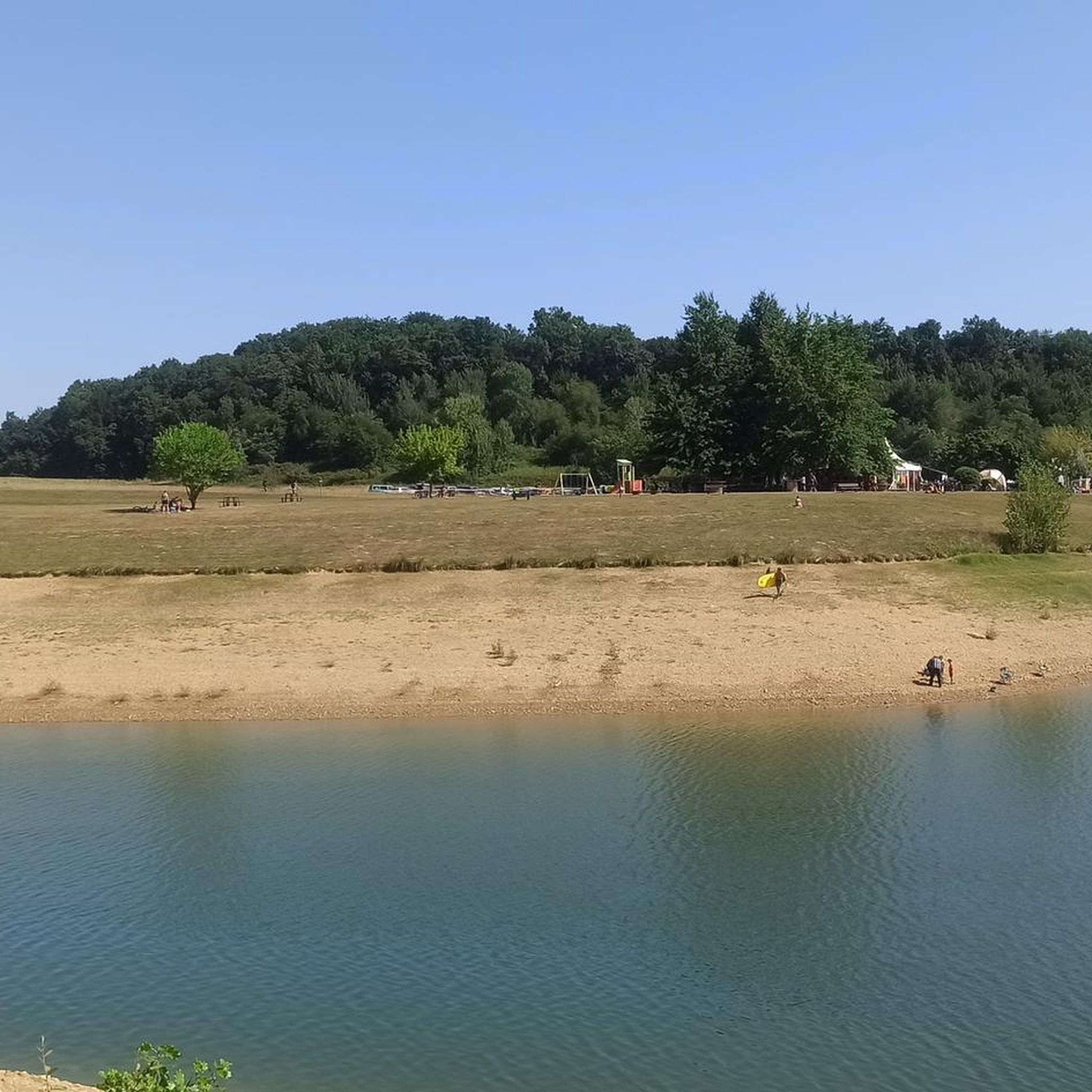
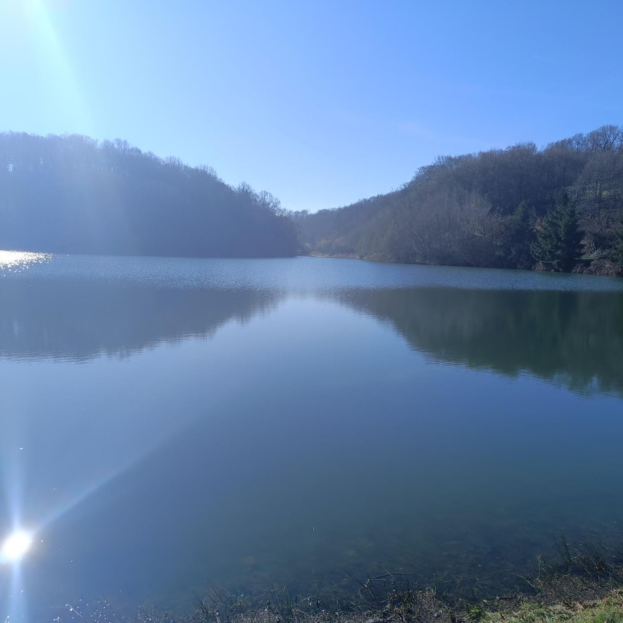
Beautiful lake with a nice view
0
0

Pleasant place for walking, cycling or horseback riding. The tour of the lake (9km) is signposted for pedestrians. Very nice mountain biking site. Possibility to eat at the guinguette.
0
0
Frequently Asked Questions
What kind of terrain can I expect on running routes around Peyriguère?
Jogging routes around Peyriguère are characterized by their hilly topography, with elevations ranging from 217 to 438 meters. You'll find varied terrain, including paths through deep, game-filled forests and trails offering magnificent views over the surrounding hillsides. This provides a mix of challenging ascents and gentler paths, suitable for different running preferences.
How many running routes are available in the Peyriguère area?
There are over 50 running routes available around Peyriguère, catering to various ability levels. The selection includes easy, moderate, and difficult options, ensuring there's a suitable path for almost every runner.
Are there any easy running routes suitable for beginners or a relaxed jog?
Yes, Peyriguère offers a few easy running routes. While many trails feature varied elevations, you can find gentler paths. For example, the region has 3 routes classified as easy, perfect for those looking for a less strenuous run or just starting out.
What natural features or landmarks can I see while jogging in Peyriguère?
The natural landscape itself is a major highlight. You'll encounter deep forests, small streams, and natural areas of ecological interest. Specific points of interest include Arrêt-Darré Lake and Réservoir de l'Achella, which are often featured on local running loops.
Are there any circular running routes in the Peyriguère region?
Yes, many of the running routes around Peyriguère are designed as loops, offering a convenient way to start and finish your run in the same location. Popular examples include the challenging Lake Arrêt Darré – Arrêt-Darré Lake loop from Gonez and the moderate Running loop from Goudon.
What do other runners say about the trails in Peyriguère?
The running routes in Peyriguère are highly regarded by the komoot community, with an impressive average rating of 4.8 out of 5 stars from over 10 reviews. Runners often praise the tranquil escape, the varied terrain, and the scenic views over the surrounding hillsides and through the forests.
Are there any running routes suitable for families or those jogging with children?
While the region is characterized by hilly terrain, there are easy routes that could be suitable for families or those jogging with children, depending on their fitness levels. It's advisable to check the difficulty grade and elevation profile of specific routes, such as the 3 easy routes available, to ensure they meet your family's needs.
Can I bring my dog on the running trails in Peyriguère?
Peyriguère's natural environment, with its deep forests and open spaces, is generally welcoming for dogs. However, it's always recommended to keep your dog on a leash, especially in areas with wildlife or near agricultural land, and to check local regulations for specific trails or protected natural zones.
What is the best time of year to go running in Peyriguère?
Peyriguère offers a pleasant running experience throughout much of the year. Spring and autumn provide mild temperatures and beautiful scenery, with changing foliage in the forests. Summer can be warm, so early morning or late afternoon runs are ideal. Winter runs are possible, but be prepared for cooler temperatures and potentially muddy or icy conditions on some trails.
Are there any moderate difficulty running routes for those looking for a good workout?
Absolutely. The majority of running routes in Peyriguère, 37 out of 54, are classified as moderate difficulty. These trails offer a good balance of challenge and accessibility, often featuring varied terrain and elevation changes without being overly strenuous. A great example is the Running loop from Chelle-Debat.
Where can I find parking for the running routes in Peyriguère?
As Peyriguère is a small commune, parking is typically available in or near the villages where routes often begin. For specific routes, it's best to check the individual komoot tour pages, as they often provide details on starting points and nearby parking options. For instance, routes starting from Gonez or Sinzos would likely have parking available in those areas.
Are there any long-distance running trails around Peyriguère?
While Peyriguère itself is a small area, its location within the Hautes-Pyrénées places it near an extensive network of trails. Many local routes, like the Retenue de l'Arrêt Darré loop from Sinzos, are over 7 miles (12 km) long, offering a substantial run. For even longer distances, these routes can often be linked with others in the broader Pyrenean environment.
Most popular attractions around Peyriguère

Get inspired with the komoot mobile app


Explore more
Browse the best Running Trails & Routes in other regions.
