The best road cycling routes around Mazuby
4.6
(96)
1,601
riders
30
rides
Road cycling routes around Mazuby traverse a landscape defined by over 2,000 glacial lakes, dense forests, and gentle rolling hills in northeastern Poland. The region, often called the "Green Lungs of Poland," features extensive networks of paths, including sections of the Green Velo trails. Terrain varies from flat stretches around the numerous lakes to moraine hills, offering diverse cycling experiences.
Best road cycling routes around Mazuby
- The most popular road cycling route is Tour of Pays de Sault, a…
Last updated: October 21, 2026
4.5
(2)
46
riders
59.3km
03:53
1,680m
1,680m
This difficult 36.8-mile (59.3 km) road cycling route, "In the valley of the Ayguette", features 5520 feet (1682 metres) of climbing and tak
4.4
(5)
139
riders
62.4km
03:18
1,160m
1,160m
Hard road ride. Very good fitness required. Mostly well-paved surfaces and easy to ride.

5.0
(1)
83
riders
24.7km
01:54
1,020m
1,020m
Hard road ride. Very good fitness required. Mostly well-paved surfaces and easy to ride.
3.0
(1)
59
riders
62.3km
03:22
1,250m
1,260m
Hard road ride. Very good fitness required. Mostly well-paved surfaces and easy to ride.
31
riders
71.3km
03:23
990m
990m
Hard road ride. Very good fitness required. Mostly well-paved surfaces and easy to ride.
Get access to more routes and recommendations from other explorers.
Already have an account?
Our route recommendations are based on thousands of hikes, rides, and runs completed by other people on komoot.
Start today with a free account
Your next adventure awaits.

Tips from the Community

Col classified as hors catégorie from Ax, it is difficult on the last 5 kilometers with gradients of 9%
0
0

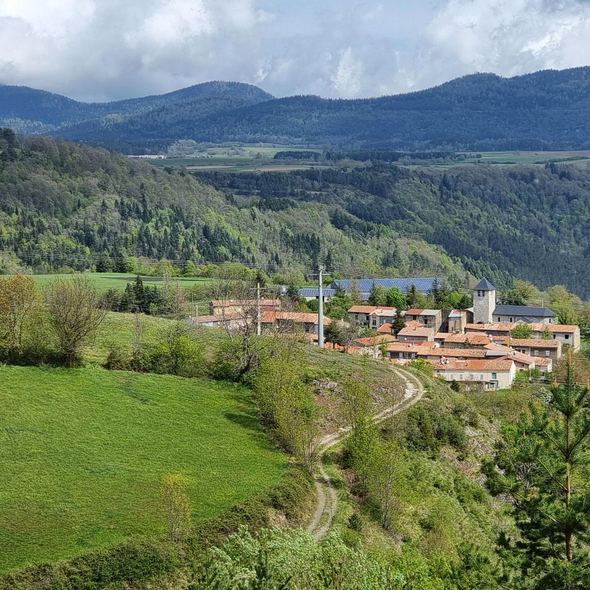
Once more populated, it had 833 inhabitants at its peak in 1851 compared to around 230 today. From the 16th century, Espezel occupied a leading position in the Pays de Sault and received the gendarmerie at the turn of the 19th century. Every last weekend of October, its large departmental agricultural fair attracts more than 50,000 visitors.
0
0

The descent on the west slope towards Ax-les-Thermes is superb.
0
0

Beautiful rocky outcrops along the Aude
0
0


From Axat, it's a long climb, 18km. It's quite beautiful down in the gorges, then a few kilometers of fairly monotonous woods. Arriving on the plateau, it clears up but it's rural. The impressive view is worth it when you reach the pass. Going down there must be a blast, the tarmac is good, it's quite wide and there's little traffic. I went down via Escouloubre: the tarmac is bad, gravel, but the forest is enchanting! Why not go the other way, then, up via Escouloubre and down via Bousquet / Roquefort etc.?
1
0
The foot, going uphill it must be pretty too but really the descent is super fun!
0
0

My experience on this stretch was downhill, once I reached the top of the Col des Aychides. It is a narrow road with uneven asphalt, where you have to be careful, although I have to admit that I found it beautiful and very fun. Although there is a considerable precipice on the left, I was not scared at any time. You go through a couple of small tunnels dug into the mountain, which gives it a lot of charm. It is a beautiful stretch.
1
0
Frequently Asked Questions
How many road cycling routes are available around Mazuby?
There are over 25 road cycling routes around Mazuby, offering a variety of challenges and scenic experiences. The region is particularly known for its mountainous terrain and demanding climbs.
Are there road cycling routes suitable for beginners in Mazuby?
While Mazuby is renowned for its challenging mountain passes, the immediate area offers some moderate routes. However, the majority of routes, especially those tackling the high passes, are classified as difficult. There are no easy routes listed directly within Mazuby's immediate vicinity, suggesting beginners might need to seek flatter terrain further afield or consider shorter, less steep sections of routes.
What kind of challenges can I expect on road cycling routes around Mazuby?
Road cycling around Mazuby is characterized by significant elevation gains and demanding climbs, particularly over its famous mountain passes. Routes like the Tour of Pays de Sault feature over 1,600 meters of ascent, making them ideal for experienced cyclists seeking strenuous rides. You'll encounter long ascents with steep gradients, especially on passes like Pailhères.
What are some scenic viewpoints or natural attractions to see along the road cycling routes?
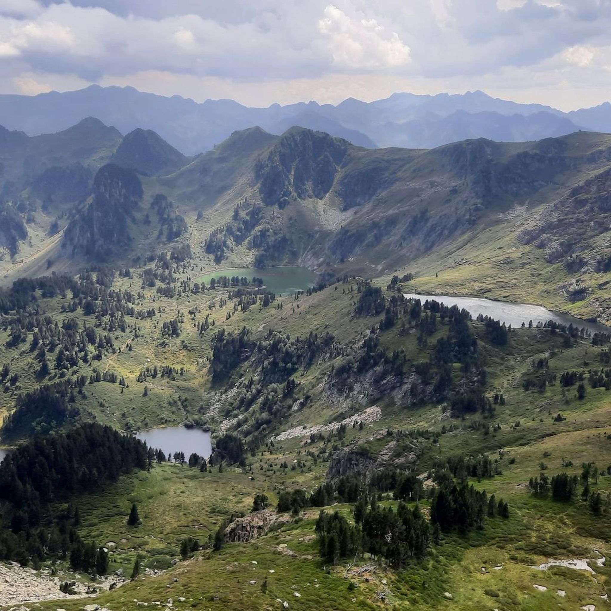
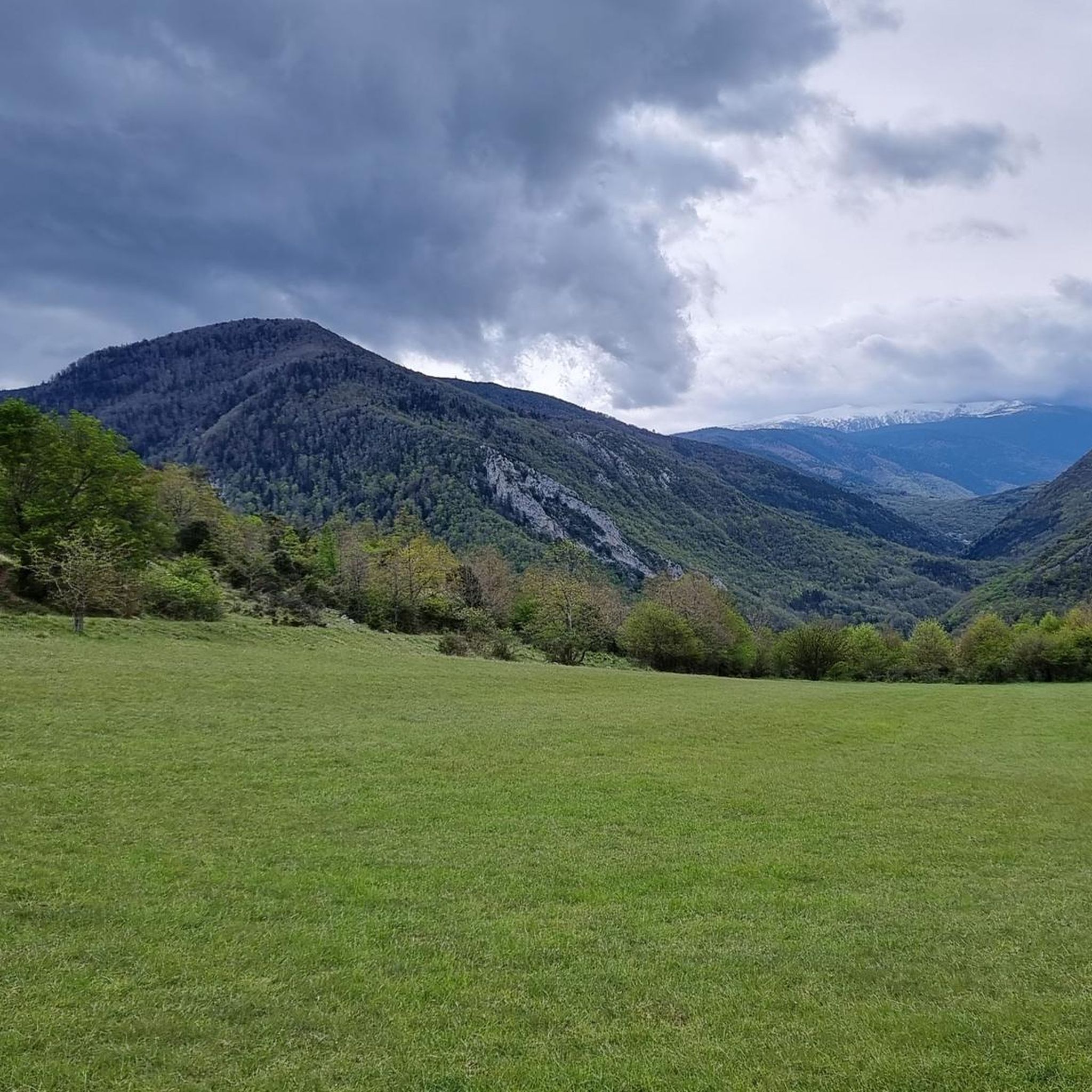
The Mazuby area is rich in natural beauty. Cyclists can enjoy panoramic views from high mountain passes such as Pailhères Pass, Pradel Pass, and Col des Sept Frères. The routes also pass through stunning gorges like the Gorges de l'Aude and Gorges de la Pierre-Lys, offering dramatic landscapes.
Are there circular road cycling routes available in Mazuby?
Yes, many of the road cycling routes around Mazuby are designed as loops. For example, the Col du Chioula – Col de Marmare (1361 m) loop from Espezel and the Col du Pradel – Pierre Lys Gorge loop from Galinagues are popular circular options, allowing you to start and finish in the same location.
What is the best time of year for road cycling in Mazuby?
Given the high-altitude mountain passes, the best time for road cycling in Mazuby is typically from late spring to early autumn (May to October). During these months, the weather is generally more stable, and the passes are clear of snow. Always check local weather conditions and pass openings before planning your ride, especially in early spring or late autumn.
Where can I find parking for road cycling routes in Mazuby?
While specific parking areas for each route are not detailed, Mazuby and surrounding villages like Espezel, Galinagues, and Rouze, which serve as starting points for many routes, typically offer public parking options. It's advisable to check local village maps or use navigation apps to locate suitable parking near your chosen starting point.
What do other cyclists say about road cycling in Mazuby?
The road cycling routes in Mazuby are highly rated by the komoot community, with an average score of 4.6 stars from over 65 reviews. Cyclists often praise the challenging climbs, breathtaking Pyrenean scenery, and the sense of accomplishment after conquering the region's iconic passes.
Are there any less crowded road cycling routes in the Mazuby area?
Mazuby itself is a small commune with a relatively low population density, suggesting that many of its roads, especially those leading into the mountains, are less trafficked than routes in more urbanized areas. While popular passes will attract cyclists, exploring routes through the 'Pays de Sault' and its forests often provides a quieter cycling experience.
What are the most notable mountain passes for road cyclists in Mazuby?
Mazuby is a gateway to some of the most iconic Pyrenean passes. The Pailhères Pass (Col de Pailhères) at 2,001 meters is a highlight, known for its demanding climbs. Other significant passes include the Pradel Pass and the historical Col des Sept Frères, all offering challenging ascents and rewarding views.
Are there any unique natural features near Mazuby worth visiting besides the passes and gorges?
Yes, approximately 14 km from Mazuby, you can find the unique Fontaine Intermittente de Fontestorbes, an intermittent spring that flows and stops at regular intervals. While not directly on a cycling route, it's a fascinating natural phenomenon worth a visit if you're in the area.
How long do road cycling routes typically take in Mazuby?
The duration of road cycling routes in Mazuby varies significantly based on distance, elevation gain, and your fitness level. For example, the Tour of Pays de Sault, a difficult 59.3 km route with substantial climbing, typically takes around 3 hours and 53 minutes. Shorter, less intense routes will naturally take less time.
Most popular attractions around Mazuby

Get inspired with the komoot mobile app


Explore more
Browse the best Road cycling routes in other regions.
