The best running trails around Valojoulx
4.4
(124)
1,792
runners
196
runs
Jogging routes around Valojoulx are set within the diverse landscapes of France's Périgord Noir region and the Vézère Valley. The area features varied terrain, including rich forested environments, limestone cliffs, and paths alongside the Turançon river. This provides a mix of shaded trails and open routes, suitable for different running preferences. The region is characterized by picturesque valleys and ancient forests, offering varied terrains for running.
Best jogging routes around Valojoulx
- The most popular jogging route is Vézère Valley –…
Last updated: October 9, 2026
4.0
(3)
32
runners
15.9km
01:46
210m
210m
Hard run. Very good fitness required. Mostly paved surfaces. Suitable for all skill levels.
5.0
(1)
11
runners
10.0km
01:11
170m
170m
Moderate run. Good fitness required. Mostly paved surfaces. Suitable for all skill levels.

9
runners
16.0km
01:47
250m
250m
Hard run. Very good fitness required. Mostly paved surfaces. Suitable for all skill levels.
6
runners
11.1km
01:13
140m
140m
Moderate run. Good fitness required. Mostly paved surfaces. Suitable for all skill levels.
4.0
(1)
4
runners
10.5km
01:09
170m
170m
Moderate run. Good fitness required. Mostly paved surfaces. Suitable for all skill levels.
Get access to more routes and recommendations from other explorers.
Already have an account?
Our route recommendations are based on thousands of hikes, rides, and runs completed by other people on komoot.
Start today with a free account
Your next adventure awaits.
Tips from the Community

Very beautiful place with guinguettes and swimming spots.
0
0

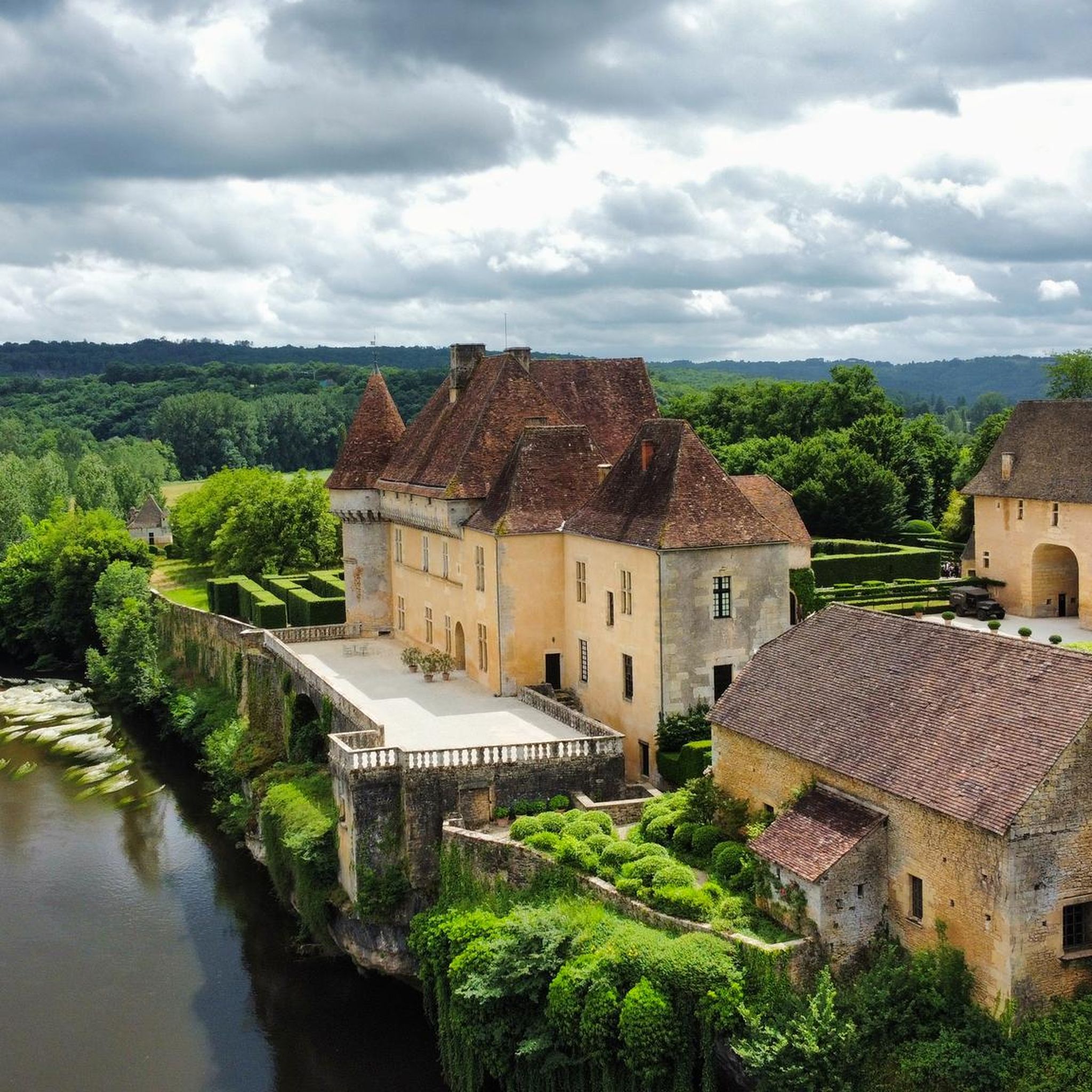
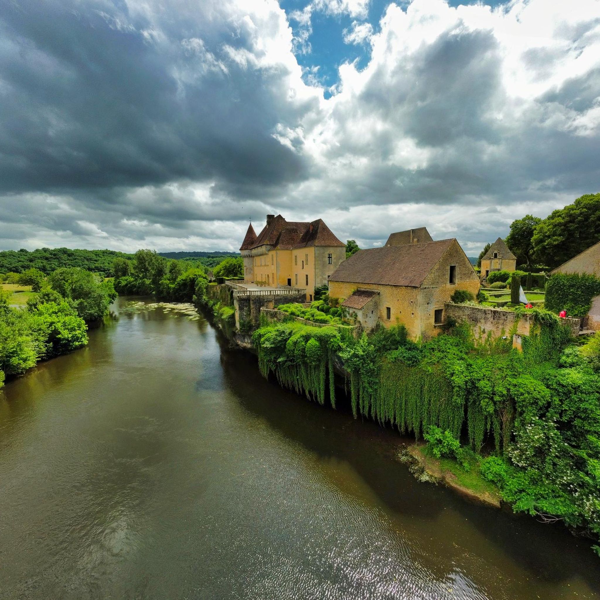
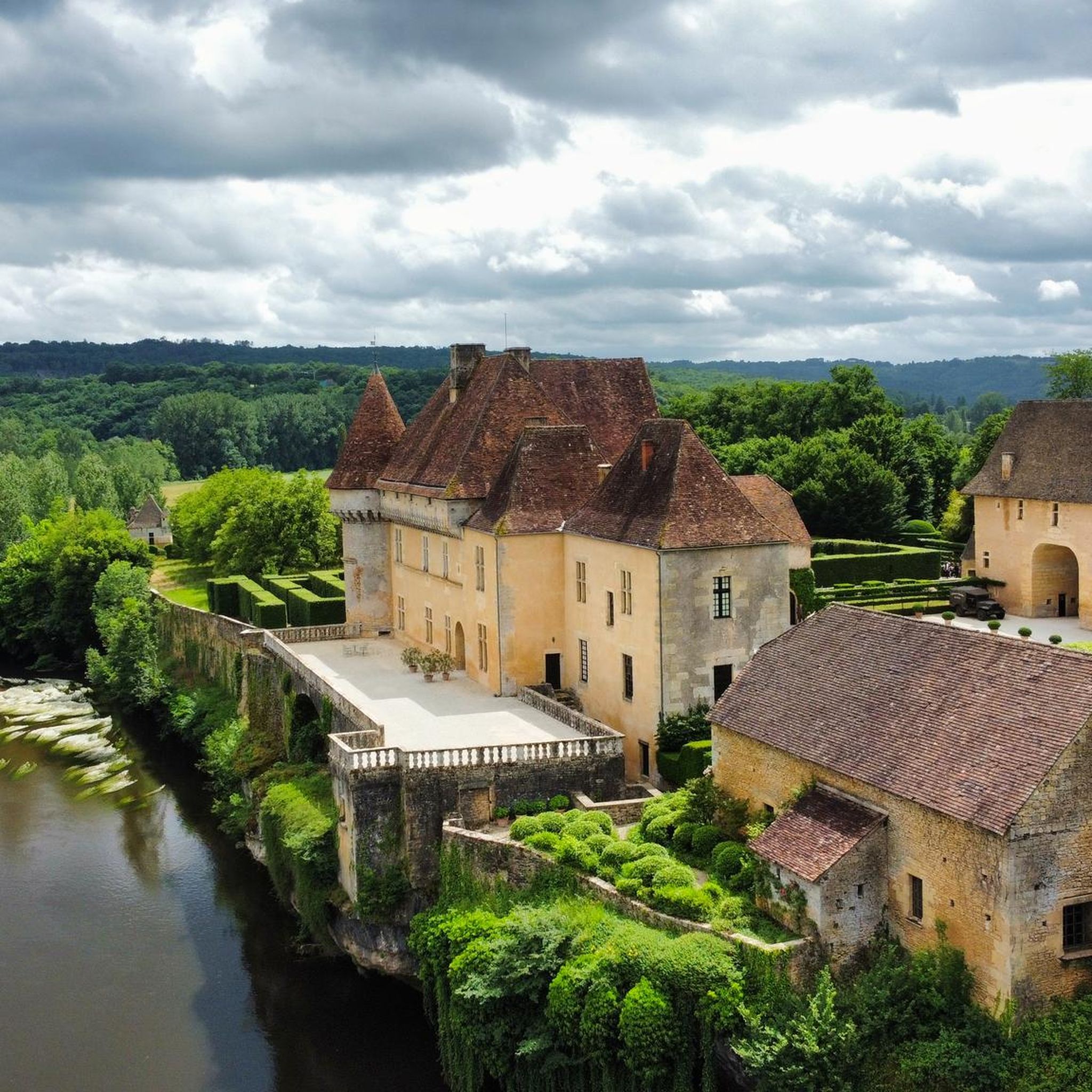
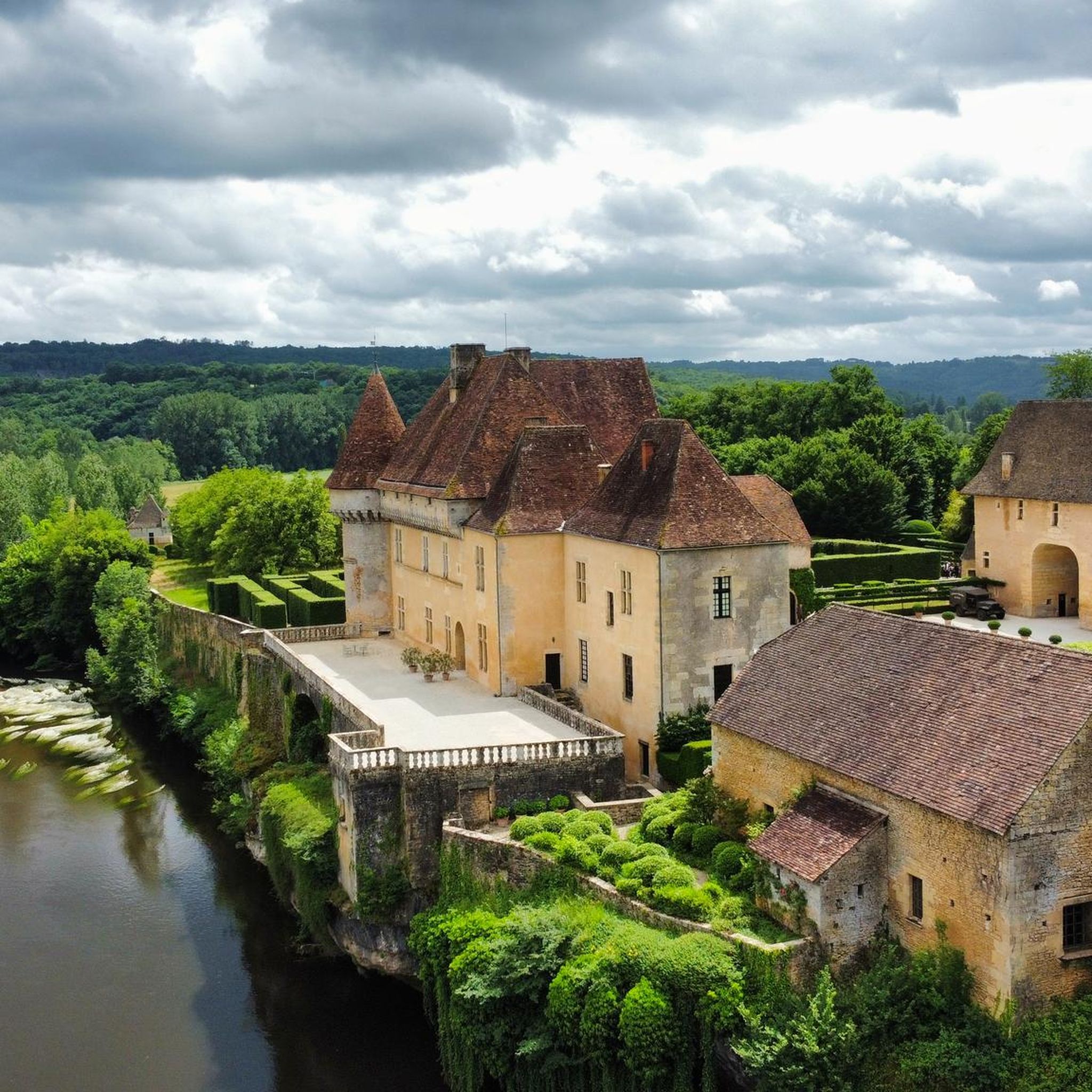
Losse Castle is located in the commune of Thonac, on the banks of the Vézère,
0
0


Beautiful circular hike along the Vézére and through oak forests. Hilly, but not too steep climbs. Beautiful views above the forest.
0
0

If you have time, be sure to watch it!
0
0

A unique troglodyte site in the world, Roque Saint-Christophe is a limestone wall 80 meters high and one kilometer long. Dug by the river and the frost, it contains around a hundred rock shelters and aerial terraces. The site has been occupied by man since prehistoric times, before becoming a fort and a medieval city. The site, on which you can discover numerous reconstructions, is open all year round. It can be visited, subject to an entrance fee.
1
0

Nice view, but this is an ordinary asphalt track with car traffic. So no mountain bike path.
0
1
Frequently Asked Questions
How many running routes are available around Valojoulx?
Valojoulx offers a wide selection of over 170 running routes, catering to various fitness levels. You'll find everything from easy paths to challenging long-distance trails, with most routes falling into the moderate category.
What kind of terrain can I expect on the running trails in Valojoulx?
The running trails around Valojoulx offer a diverse landscape. You can expect varied terrain, including rich forested environments, paths alongside the Turançon river, and routes with views of the Vézère Valley. Some trails may feature geological formations like cliffs, now covered by forests, providing an engaging and dynamic experience.
Are there any easy running routes suitable for beginners in Valojoulx?
While many routes are moderate or difficult, there are a few easier options available. For instance, the Running loop from Lacoste is a moderate 6.3 km (3.9 miles) trail that can be completed in under 40 minutes, offering a pleasant introduction to the local scenery.
Can I find circular running routes in the Valojoulx area?
Yes, many of the running routes around Valojoulx are circular, allowing you to start and finish at the same point. A popular option is the Vézère Valley – La Roque Saint-Christophe loop from Saint-Léon-sur-Vézère, which is a challenging 15.9 km (9.9 miles) route offering historical views.
What interesting landmarks or attractions can I see along the running routes?
The Valojoulx area is rich in history and natural beauty. Along your runs, you might encounter significant sites such as La Roque Saint-Christophe, a prehistoric cliff dwelling, or the famous Lascaux International Centre for Cave Art. You could also pass by beautiful castles like Losse Castle and Gardens, located just 2 km from Valojoulx.
Are there any running routes that offer great viewpoints?
Absolutely. The region is known for its scenic vistas. The View over the Vézère Valley – La Roque Saint-Christophe loop from Sergeac is a challenging 21.8 km (13.5 miles) path specifically highlighted for its expansive views over the Vézère Valley and its historical sites.
What do other runners enjoy the most about jogging in Valojoulx?
The running routes in Valojoulx are highly rated by the komoot community, with an average score of 4.5 stars from over 80 reviews. Runners often praise the varied terrain, which includes forested paths and riverside sections, as well as the stunning views of the Vézère Valley and the historical landmarks along the way.
Are the running trails in Valojoulx suitable for families?
While specific family-friendly designations are not always explicit, the diverse range of routes means you can find paths suitable for different ages and abilities. Look for shorter, moderate trails with less elevation gain if running with children. The presence of charming villages and historical sites can also add interest for families.
Can I bring my dog on the running trails around Valojoulx?
The Périgord Noir region generally welcomes dogs on trails, especially in natural areas. However, it's always advisable to keep your dog on a leash, particularly in protected areas, near livestock, or when passing through villages. Check local signage for any specific restrictions on individual routes.
What is the best time of year for running in Valojoulx?
The region's forested environment provides shaded paths, making it pleasant for running during warmer months. Spring and autumn offer mild temperatures and beautiful scenery. Even in winter, many paths remain accessible, though some trails might be muddy after rain. The diverse terrain ensures options for different seasons.
Are there any longer distance running trails for experienced runners?
Yes, Valojoulx offers several challenging long-distance options. For example, the View over the Vézère Valley – La Roque Saint-Christophe loop from Sergeac is a difficult 21.8 km (13.5 miles) route, and the Running loop from La Chapelle-Aubareil covers 16 km (10 miles), both providing significant distances and elevation.
Where can I find amenities like cafes or shops near the running routes?
Valojoulx itself is a small village, but nearby towns and villages offer amenities. Montignac-Lascaux, approximately 6 km away, provides a range of shops and cafes. Saint-Léon-sur-Vézère, another charming village, is also a good spot for a post-run refreshment. You can plan your route to pass through these areas.
Is there public transport or parking available near the running trailheads?
While specific public transport links directly to every trailhead might be limited in this rural area, parking is generally available in the villages that serve as starting points for many routes, such as Saint-Léon-sur-Vézère, Sergeac, or Lacoste. It's recommended to drive to your chosen starting point.
Most popular attractions around Valojoulx

Get inspired with the komoot mobile app


Explore more
Browse the best Running Trails & Routes in other regions.
