The best road cycling routes around Lignereuil
4.6
(19)
498
riders
106
rides
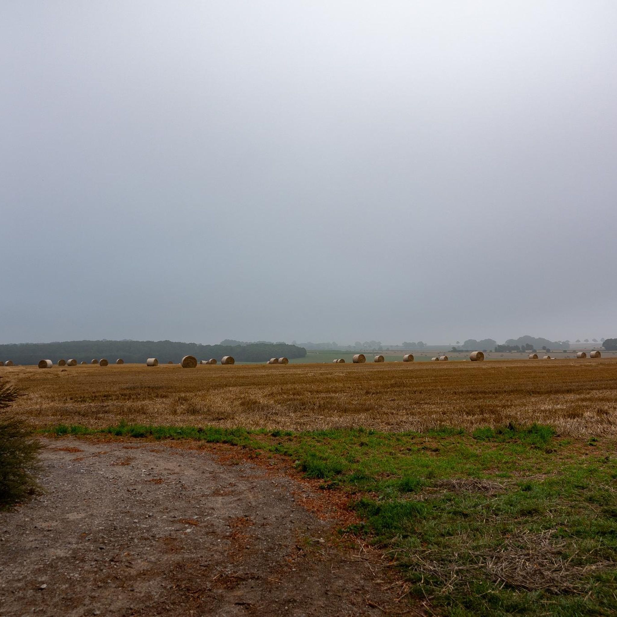
Road cycling around Lignereuil offers routes through the gently rolling agricultural landscapes of northern France. The region is characterized by open fields, small villages, and quiet country roads, providing a suitable environment for road cyclists. Elevation changes are generally moderate, with some routes featuring gradual climbs and descents. The network of roads allows for varied distances and difficulty levels.
Best road cycling routes around Lignereuil
- The most popular road cycling route is Lucheux Belfry – Doullens Belfry loop from Beaufort-Blavincourt…
Last updated: July 2, 2026
6
riders
Moderate road ride. Good fitness required. Mostly well-paved surfaces and easy to ride.
5
riders
53.6km
02:15
360m
360m
Moderate road ride. Good fitness required. Mostly well-paved surfaces and easy to ride.

Sign up for free
5
riders
35.9km
01:27
200m
200m
Easy road ride. Great for any fitness level. Mostly well-paved surfaces and easy to ride.
5.0
(1)
8
riders
51.9km
02:12
400m
400m
Moderate road ride. Good fitness required. Some segments of this route may be unpaved and difficult to ride.
5.0
(1)
4
riders
28.9km
01:14
170m
170m
Moderate road ride. Great for any fitness level. Some segments of this route may be unpaved and difficult to ride.
Get access to more routes and recommendations from other explorers.
Sign up for free
Already have an account?
Our route recommendations are based on thousands of hikes, rides, and runs completed by other people on komoot.
Start today with a free account
Your next adventure awaits.
Login or Signup


Tips from the Community

The Monchel fish farm is distinguished by the variety of its courses, numbering 27. Its mosaic of ponds creates an idyllic setting for trout fishing.
0
0

Mont César rises to a height of 138 meters on the left bank of the Thérain River, near the hamlet of Froidmont, in the municipality of Bailleul-sur-Thérain, in the Oise department. The hill, which overlooks the valley and surrounding marshes, has been inhabited since the Bronze Age and was likely a Gallo-Roman oppidum on an ancient, fortified Gallic camp. Archaeological excavations carried out since the 18th century have unearthed numerous objects and remains of fortifications. During excavations conducted in 1878 by Isidore Berton, Gallic coins and various objects from the Roman period were discovered. Want to know more? Click through to the source: https://fr.wikipedia.org/wiki/Mont_C%C3%A9sar
0
0

A beautiful square in Arras, a must-see both day and night. This is where the market is held on Saturday mornings.
1
0


a very pleasant treetop adventure course is taking shape on this route inside the citadel
2
0


The Carrière Wellington is an underground quarry in Arras, France. It was used as a shelter for soldiers during the First World War and is now a museum in memory of the victims of the Battle of Arras in 1917.
7
0
A unique architectural whole The citadel of Arras was never besieged, hence its nickname “the belle inutile”, and is a well-preserved witness of the military buildings of the 17th century.
2
0
Frequently Asked Questions
How many road cycling routes are available around Lignereuil?
There are over 100 road cycling routes available around Lignereuil, offering a wide range of options for different skill levels and preferences. The komoot community has explored 103 routes in total.
Are there easy road cycling routes suitable for beginners in Lignereuil?
Yes, Lignereuil offers several easy road cycling routes perfect for beginners or those seeking a relaxed ride. For example, the Roadbike loop from Liencourt is an easy 22.3-mile (35.9 km) trail that takes about 1 hour 27 minutes to complete, leading through the local rural landscape.
What are the typical distances for road cycling routes in Lignereuil?
Road cycling routes around Lignereuil vary in distance. You can find shorter rides like the Roadbike loop from Liencourt at 22.3 miles (35.9 km), or longer, more challenging options such as the Lucheux Belfry – Doullens Belfry loop from Beaufort-Blavincourt, which covers 43.1 miles (69.4 km).
Are there road cycling routes in Lignereuil with minimal hills?
The Lignereuil region is characterized by gently rolling agricultural landscapes, meaning elevation changes are generally moderate. While most routes will have some gradual climbs and descents, many paths stick to the open fields and quiet country roads, avoiding significant ascents. Routes like the Roadbike loop from Liencourt feature lower overall elevation gain.
What kind of attractions can I see along the road cycling routes in Lignereuil?
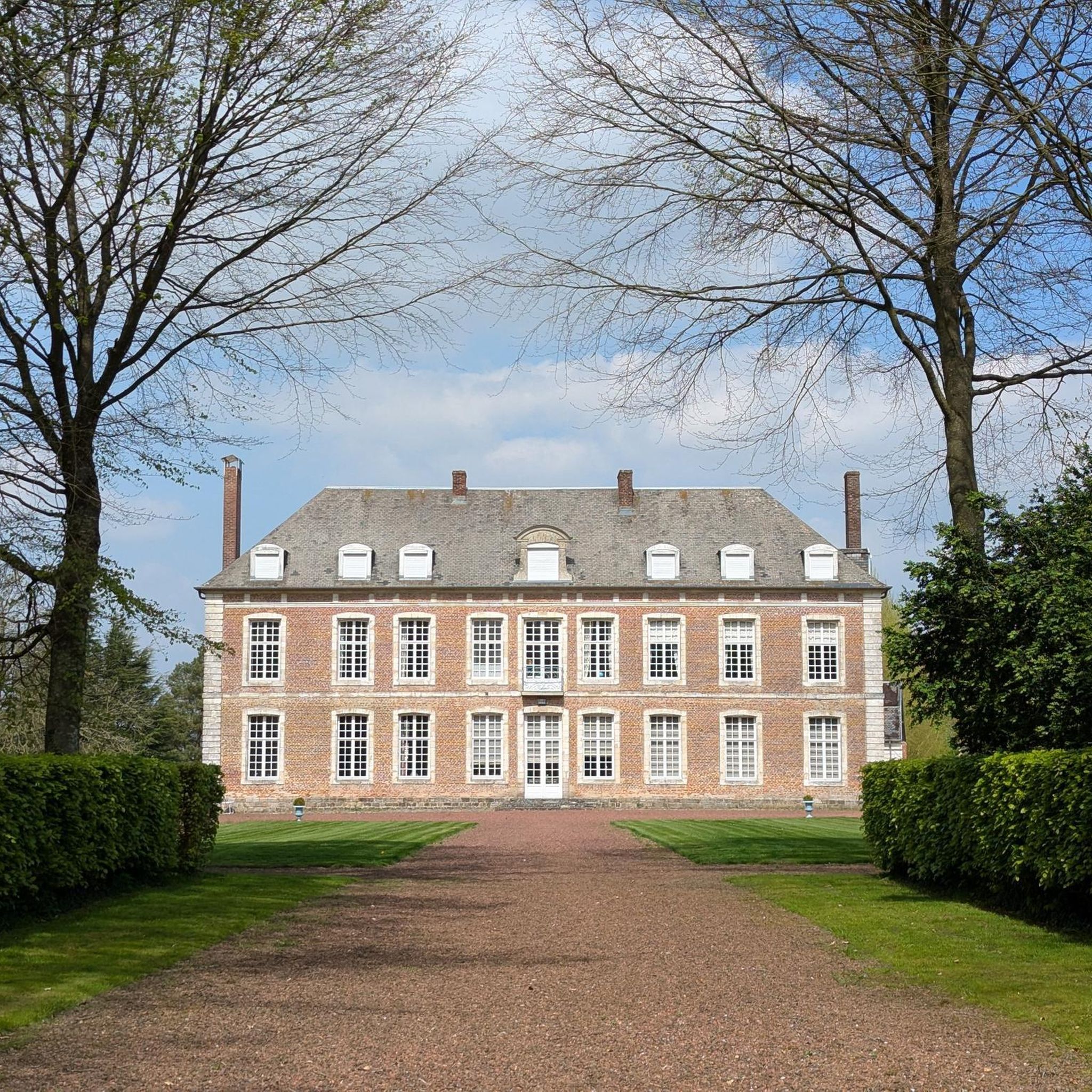
The routes often pass through charming small villages and offer views of the agricultural landscape. You can also discover historical sites such as the Castle adjoining the church in Habarcq or the Château de Bavincourt. Some routes, like the Lucheux Belfry – Doullens Belfry loop, connect historic belfries, blending cultural interest with rural scenery.
Are there challenging road cycling routes for experienced riders in Lignereuil?
Yes, while many routes are moderate, there are options for more experienced riders. The region offers a network of roads that allow for varied distances and difficulty levels, including 7 routes classified as difficult. These routes will typically feature longer distances and more significant elevation gains compared to the easier options.
What is the best time of year for road cycling around Lignereuil?
The best time for road cycling around Lignereuil is generally during the spring, summer, and early autumn months. During these periods, the weather is typically milder and more stable, making for pleasant riding conditions through the open fields and quiet country roads. Summer offers longer daylight hours, ideal for extended rides.
Are there loop road cycling routes available in Lignereuil?
Yes, many of the road cycling routes around Lignereuil are designed as loops, allowing you to start and finish at the same point. Examples include the popular Lucheux Belfry – Doullens Belfry loop and the Monchel fish farm loop from Beaufort-Blavincourt, providing convenient circular journeys.
What do other road cyclists enjoy most about road cycling in Lignereuil?
The area is highly rated by the komoot community, with an average score of 4.7 stars from 17 reviews. Reviewers often praise the quiet country roads, the scenic passages through agricultural landscapes, and the charming village passages that define the region's cycling experience.
Are there any specific points of interest or landmarks to look out for on the routes?
Beyond the general rural scenery, you can find specific points of interest. For instance, the Monchel fish farm loop features a scenic passage that includes the Monchel fish farm itself. Other routes might lead you past historical structures like the Château de Givenchy or the Eglise du Lattre Saint-Quentin.
Where can I find parking for road cycling trails near Lignereuil?
While specific parking locations are not detailed for every route, many routes start from villages or towns like Beaufort-Blavincourt or Liencourt. These locations typically offer public parking options suitable for cyclists. It's advisable to check local village maps or komoot route details for suggested starting points and potential parking areas.
Most popular attractions around Lignereuil

Get inspired with the komoot mobile app


Explore more
Browse the best Road cycling routes in other regions.
