The best walks and hikes around Châtelraould-Saint-Louvent
4.1
(31)
162
hikers
47
hikes
Hiking around Châtelraould-Saint-Louvent offers a network of trails primarily featuring loop routes through the local area. The terrain is generally gentle, with minimal elevation changes on many paths, making it accessible for various fitness levels. These routes often connect local towns and points of interest, providing a way to explore the region's landscape.
Best hiking trails around Châtelraould-Saint-Louvent
- The most popular hiking route is Vitry-le-François Flower Trail, a 3.1 miles (5.0 km) trail that takes 1 hour 16 minutes…
Last updated: June 25, 2026
2.5
(2)
4
hikers
5.04km
01:16
10m
10m
Hike the easy 3.1-mile Memory circuit around Vitry-le-François, exploring historical landmarks and urban scenery in about 1 hour and 16 minu
4.0
(1)
7
hikers
Hard hike. Very good fitness required. Easily-accessible paths. Suitable for all skill levels.

Sign up for free
3
hikers
9.96km
02:40
110m
110m
Moderate hike. Good fitness required. Easily-accessible paths. Suitable for all skill levels.
5.0
(1)
4
hikers
13.3km
03:22
30m
30m
Moderate hike. Good fitness required. Easily-accessible paths. Suitable for all skill levels.
4.5
(2)
7
hikers
9.71km
02:27
10m
10m
Moderate hike. Good fitness required. Easily-accessible paths. Suitable for all skill levels.
Get access to more routes and recommendations from other explorers.
Sign up for free
Already have an account?
Our route recommendations are based on thousands of hikes, rides, and runs completed by other people on komoot.
Start today with a free account
Your next adventure awaits.
Login or Signup



Tips from the Community

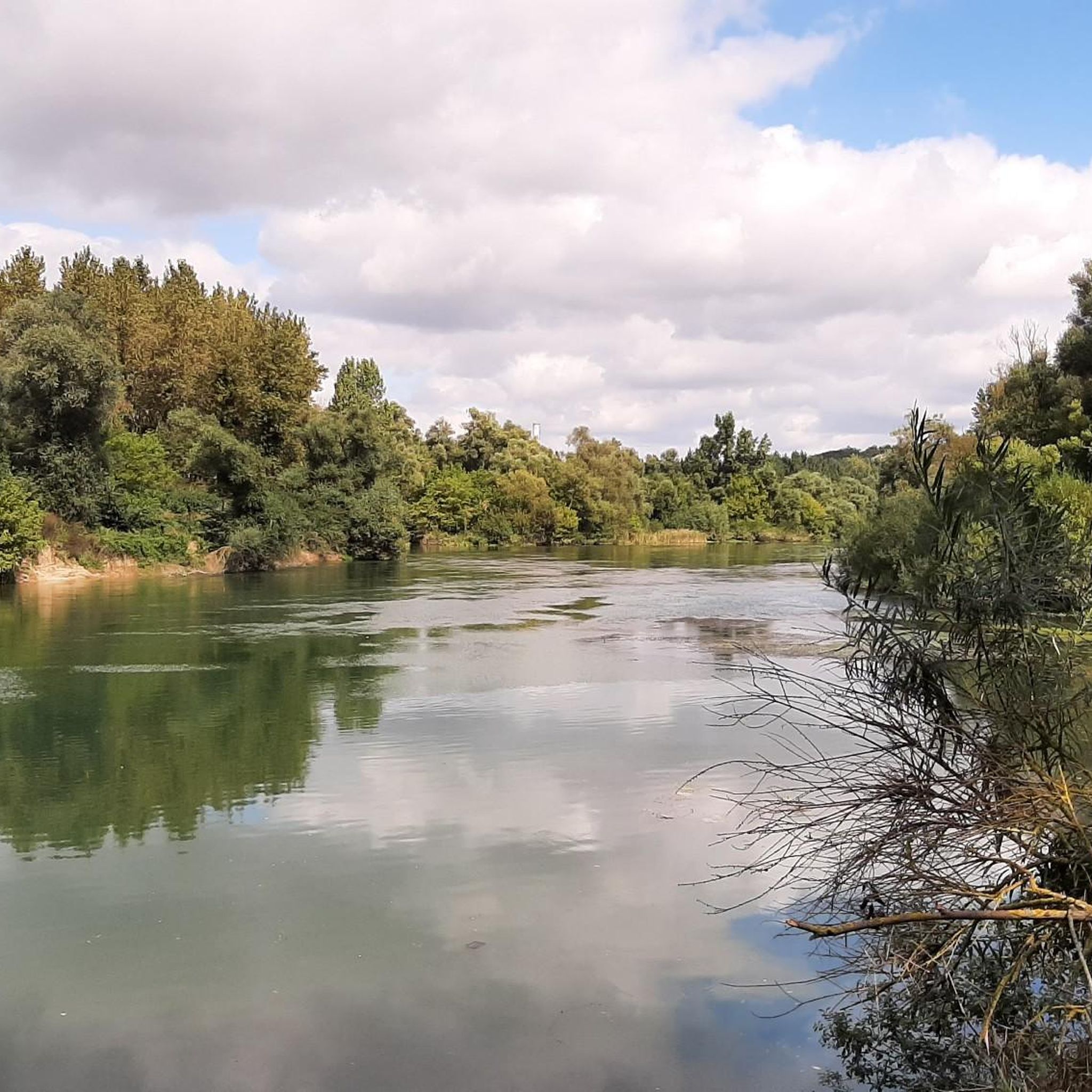
Great greenway along the canal with many spots for picnics and shaded breaks. The canal retains very natural banks, making cycling particularly pleasant.
0
0

The Collegiale Notre-Dame-de-l’Assomption is a former collegiate church in Vitry-le-François, in the Marne department, in France. It is a 17th-century Baroque church with beautiful 18th-century monuments. It is the main church of the town and a historical monument. The church has a rich furnishings, including a large organ, a master altar, a pulpit and a painting by Frère Luc. The church also has a striking bell tower, a Gothic choir, a Renaissance portal and a Baroque altar.
7
1
The town hall is located on the site of a 17th-century Recollects monastery, founded by the Bishop of Châlons-en-Champagne. After being largely destroyed during the Second World War, it was rebuilt according to 19th-century plans. The beautiful garden features the facade of the former chapel of the Collège des garçons, which burned down in 1940, and the Adam and Eve group by sculptor Alphonse Terroir, a gift from the City of Paris.
7
0

We would love to see the stars of Europe more often!
3
0

The town hall of Vitry-le-François offers a beautiful view in the evening.
3
0
The church square is the centre of Vitry-le-François. Restaurants and bars can be found nearby.
2
0
Place d'Armes, central square in Vitry, a small town in southern Champagne that is often underestimated. Well connected to the canals.
3
0
Easy to drive, but also a little monotonous…
2
0
Frequently Asked Questions
How many hiking trails are there around Châtelraould-Saint-Louvent?
There are over 40 hiking trails available around Châtelraould-Saint-Louvent, offering a variety of options for different skill levels and preferences.
Are there easy hiking trails suitable for beginners or casual walkers?
Yes, Châtelraould-Saint-Louvent is well-suited for beginners and casual walkers, with over 30 easy routes. Many trails feature gentle gradients and minimal elevation changes. A good example is the Vitry-le-François Flower Trail, an easy 3.1-mile (5.0 km) path.
Can I find long-distance hiking trails in the area?
While many routes are shorter loops, there is at least one challenging long-distance option. For experienced hikers, the Vitry-le-François Town Hall – Mont Moret Memorial loop from Bignicourt-sur-Marne covers 18.6 miles (29.9 km) and connects significant local landmarks.
Are there any family-friendly hiking routes in Châtelraould-Saint-Louvent?
The region's generally gentle terrain and numerous easy, shorter loop trails make it ideal for families. Many paths are accessible and offer a pleasant way to explore the local scenery together. Consider routes like the Hiking loop from Vitry-le-François for a manageable family outing.
What kind of attractions can I see along the hiking trails?
The trails often connect local towns and points of interest. You might encounter historical sites like the Place d'Armes of Vitry-le-François or enjoy views of waterways such as the Canal and the Marne, and the Canal aqueduct over the Marne.
Are there circular hiking routes available?
Yes, Châtelraould-Saint-Louvent is characterized by its network of loop routes. Most trails are designed as circular paths, allowing you to start and end at the same point without retracing your steps. The Mont Moret Memorial loop from Frignicourt is a popular example.
What do other hikers say about the trails in Châtelraould-Saint-Louvent?
The komoot community rates the trails highly, with an average score of 4.2 stars from over 25 reviews. Hikers often praise the accessible nature of the loop trails and the pleasant scenery connecting local landmarks.
Is it possible to hike in Châtelraould-Saint-Louvent during winter?
While the region's terrain is generally gentle, winter conditions can vary. It's advisable to check local weather forecasts and trail conditions before heading out. Many of the paths are well-maintained, but some may become muddy or slippery with frost or snow.
Are there any moderate hiking options for those looking for a bit more challenge?
Yes, there are 8 moderate trails available. These routes offer a slightly longer distance or more varied terrain than the easy paths, providing a good step up for hikers seeking a moderate challenge. The Hiking loop from Frignicourt is a moderate 6-mile (9.7 km) option.
What is the best time of year to go hiking in this region?
The gentle terrain of Châtelraould-Saint-Louvent makes it enjoyable for hiking throughout much of the year. Spring and autumn offer pleasant temperatures and beautiful natural colors, while summer provides longer daylight hours. Always check local weather conditions before your hike.
Are there any scenic viewpoints along the hiking trails?
While the region is known for its gentle landscapes and connection to local towns, specific elevated viewpoints are less common. However, many trails offer pleasant views of the Marne Canal and surrounding countryside, especially along routes that follow the waterways.
Most popular routes around Châtelraould-Saint-Louvent
Most popular attractions around Châtelraould-Saint-Louvent

Get inspired with the komoot mobile app


Explore more
Browse the best Hikes in other regions.
