Top 5 Mountain Passes around Malarce-Sur-La-Thines
Best mountain passes near Malarce-Sur-La-Thines offer routes for various outdoor activities. The region features diverse terrain suitable for climbs and descents, with elevations providing expansive views. These passes connect different areas, often through varied landscapes. Malarce-Sur-La-Thines provides access to routes that cater to different experience levels.
Best mountain passes around Malarce-Sur-La-Thines
- The most popular mountain pass is Col de la Croix Blanche (White Cross Pass), a mountain pass that is 14.3 kilometers long with a total elevation gain of…
Last updated: October 13, 2026
Col de la Croix Blanche (White Cross Pass)
Highlight • Mountain Pass
Translated by Google •
Tip by

Route de Villefort
Highlight • Mountain Pass
Tip by

Sign up now to discover places like this
Get recommendations on the best single tracks, peaks, & plenty of other exciting outdoor places.
Descent from Bonnevaux
Highlight (Segment) • Trail
Tip by

Col du Chap del Bosc
Highlight • Mountain Pass
Translated by Google •
Tip by
Col du Peras (771 m)
Highlight • Mountain Pass
The north-eastern descent/climb has very poor asphalt (be careful) , the southern side is good.
Tip by
Sign up for free to discover even more mountain passes around Malarce-Sur-La-Thines.
Already have an account?
Start today with a free account
Your next adventure awaits.
Tips from the Community

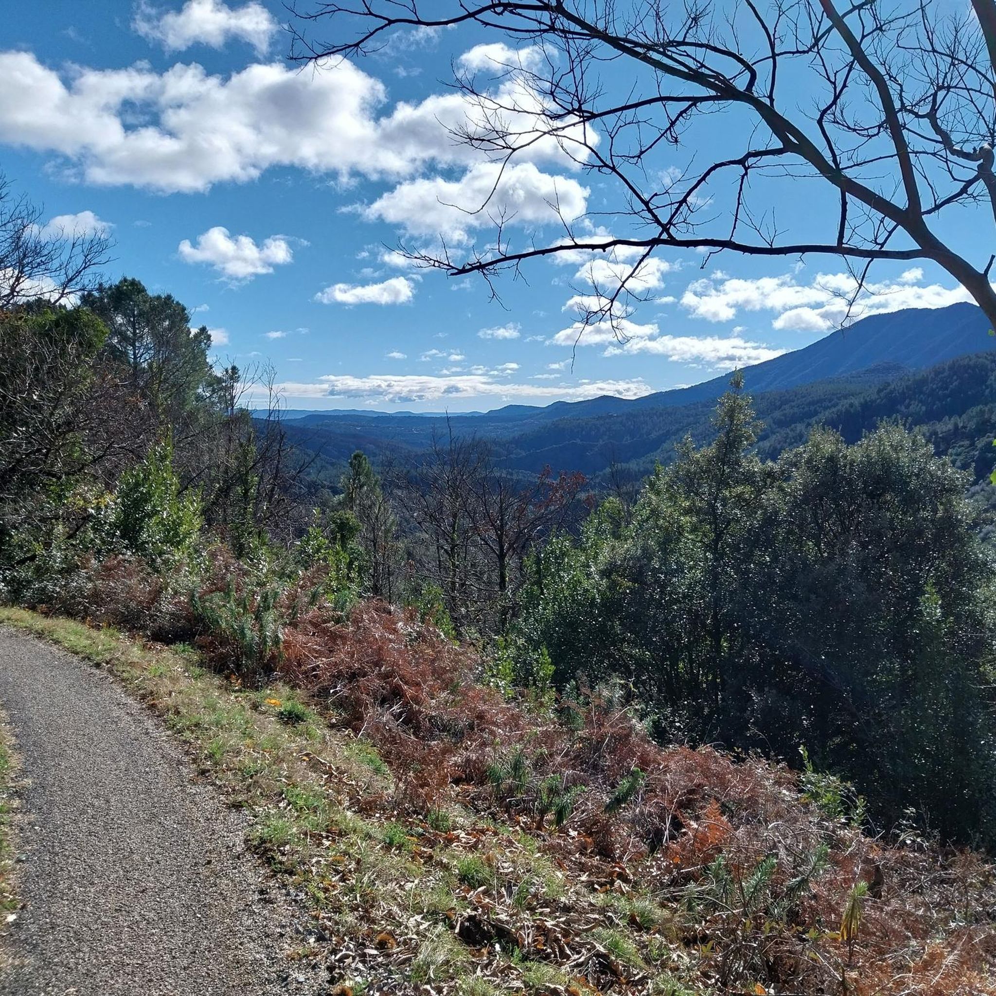
A road bike/gravel highlight of the region. Very beautiful, very narrow, very bumpy road from Bonnevaux into the valley. Wider tires are very useful here. Watch out for oncoming traffic!
0
0

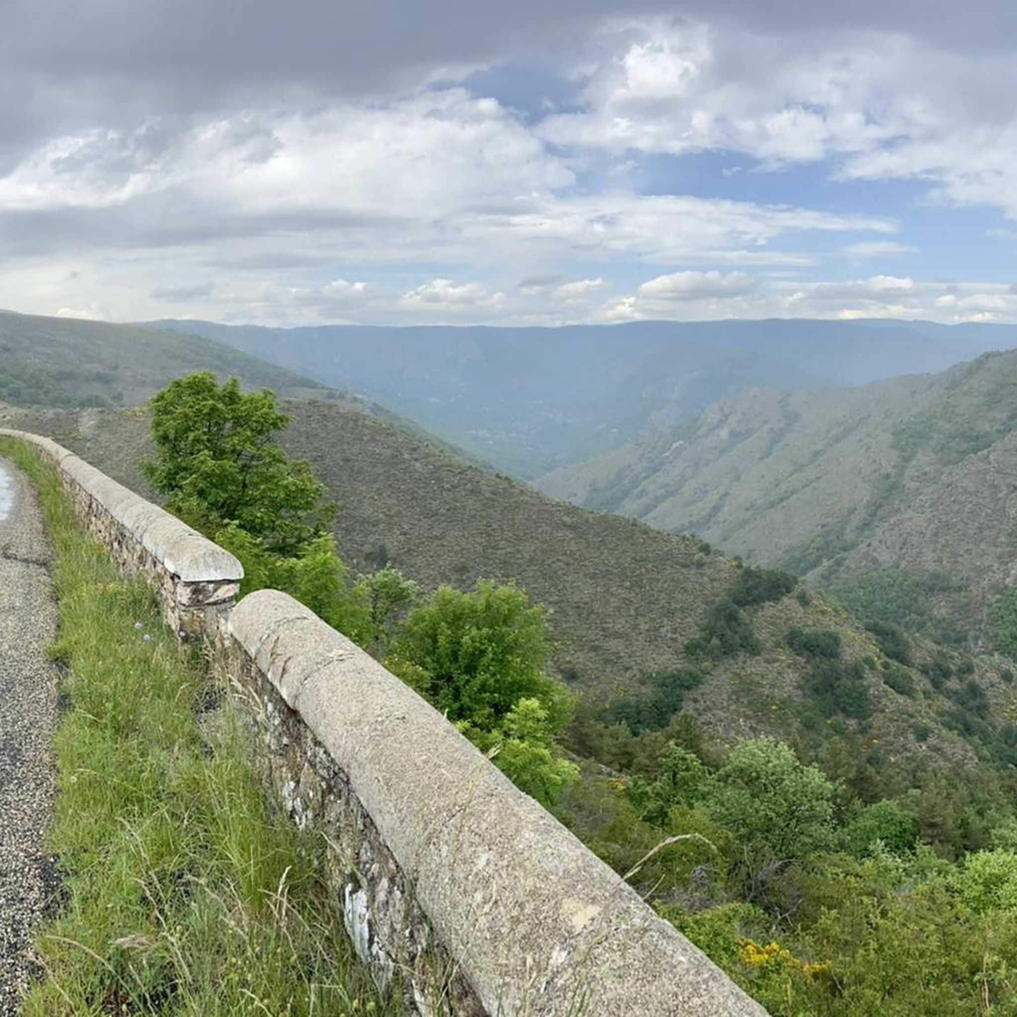
Magnificent views, awesome climbs and climbs :)
0
0

To be absolutely avoided on a road bike, unless like me you want to die! The descent is in a pitiful and unworthy state! Presence of gravel, stones, and especially bumps and holes occupying for some half of the roadway and a depth of several cm! Impassable descent by road bike although a priori a Departmental road. A shame !
0
0

The Col de la Croix Blanche from Chambonas is 14.3 kilometers long with a total elevation gain of 770 meters. The average slope is 5.4% with maximum slopes of 10.9%.
2
0
The Col du Chap del Bosc is 10.8 km long with a total drop of 344 m. The average gradient is 3.2% with maximum gradients of 8.3%.
0
0

A great pass to climb!! Well shaded throughout its 15 km climb.. not too much traffic for the moment!!!
0
0

Col du Peras, North-east descent is not really suitable for racebikes. The asphalt conditions are very, very poor! Be carefull.
1
0
The name is: Col du Peras. Altitude: 771m. The north-eastern descent/climb has very poor asphalt (be careful) , the southern side is good.
0
0
Frequently Asked Questions
Are there family-friendly mountain passes around Malarce-Sur-La-Thines?
Yes, Route de Villefort is considered family-friendly. It's an intermediate mountain pass with viewpoints and climbs, well-shaded throughout its 15 km climb, and generally has low traffic.
What are some popular mountain passes for cycling in the region?
The region offers several passes popular with cyclists. Col de la Croix Blanche (White Cross Pass) is a challenging option, 14.3 kilometers long with a total elevation gain of 770 meters. Another is Col du Chap del Bosc, which is 10.8 km long with an average gradient of 3.2%.
What are the road conditions like on the mountain passes?
Road conditions vary. For instance, the southern side of Col du Peras (771 m) offers good asphalt. However, its north-eastern descent has very poor asphalt, which is not recommended for road bikes due to gravel, stones, bumps, and holes. The Descent from Bonnevaux also has very bumpy sections, making wider tires useful.
What kind of views can I expect from the mountain passes?
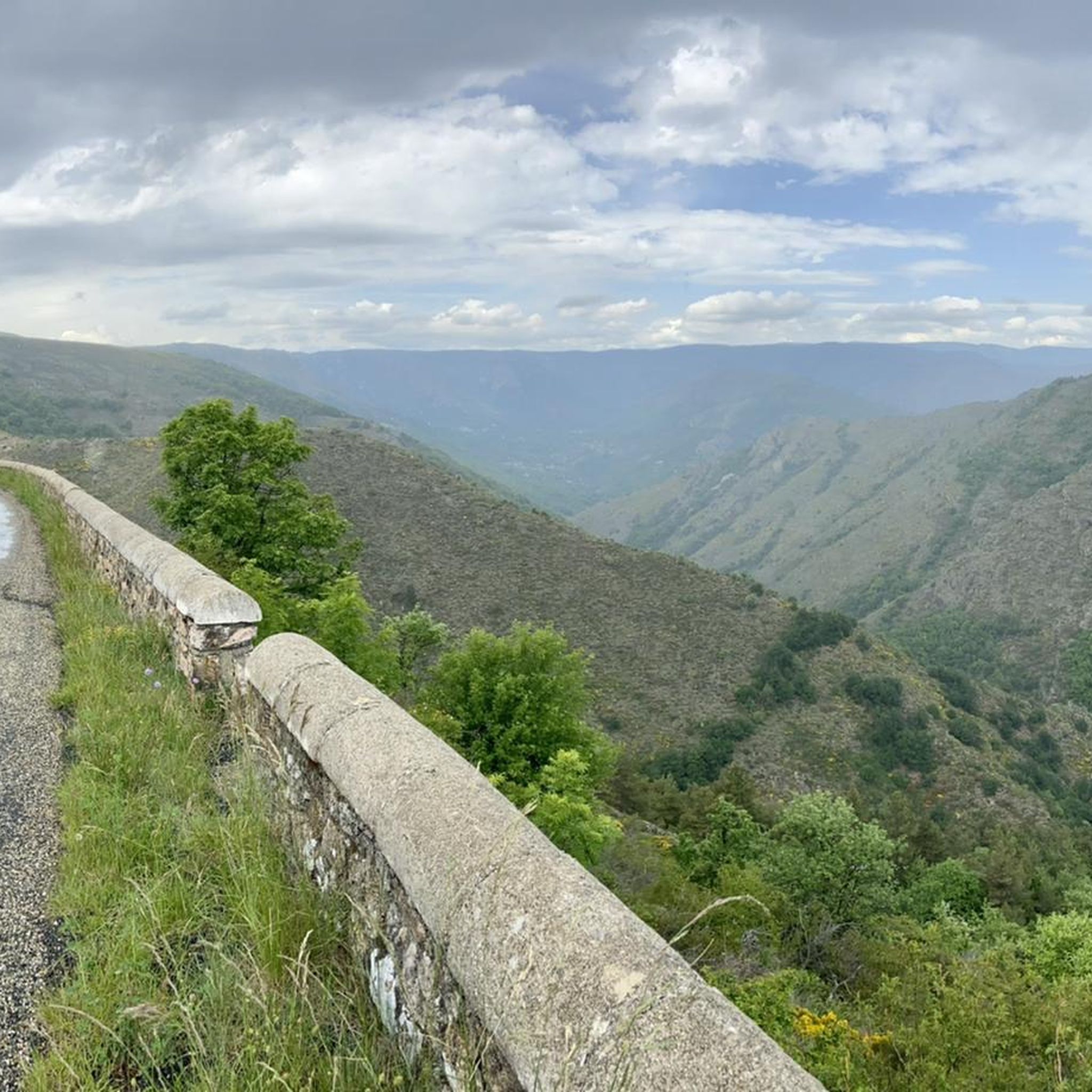
Many passes offer magnificent views. For example, Col de la Croix Blanche (White Cross Pass) is known for its stunning vistas. Both Route de Villefort and Col du Peras (771 m) also feature excellent viewpoints along their routes.
Are there hiking opportunities near the mountain passes?
Yes, there are numerous hiking opportunities. You can find routes like the 'Col de la Croix Blanche (White Cross Pass) – Notre-Dame de Thines Church loop from Peyre' (difficult, 11.8 km) or the 'Pont de Gournier – Notre-Dame de Thines Church loop from Lavio' (easy, 3.1 km). For more options, explore the Hiking around Malarce-Sur-La-Thines guide.
What cycling routes are available around Malarce-Sur-La-Thines?
The area offers diverse cycling routes. Examples include the 'Nassier Beach – Chambonas bridge loop from Saint-Pierre-Saint-Jean' (difficult, 84.7 km) and the 'Chambonas bridge – Plage du Nassier loop from Gravières' (moderate, 12.3 km). Discover more routes in the Cycling around Malarce-Sur-La-Thines guide.
Can I find mountain biking trails near these passes?
Absolutely. Mountain biking is popular, with trails such as the 'Chassezac River – Nassier Beach loop from Malarce-sur-la-Thines' (easy, 21.1 km) or the 'Along the Thines – Col de la Croix Blanche (White Cross Pass) loop from Gravières' (difficult, 37.4 km). Check out the MTB Trails around Malarce-Sur-La-Thines guide for more.
What do visitors particularly enjoy about the mountain passes in Malarce-Sur-La-Thines?
Visitors frequently praise the magnificent views and the challenging yet rewarding climbs. Many appreciate the well-shaded sections on passes like Route de Villefort, which makes for a more comfortable experience. The diverse terrain and varied road conditions also cater to different preferences and skill levels.
Are there any passes with significant elevation gain?
Yes, Col de la Croix Blanche (White Cross Pass) is notable for its elevation gain, climbing 770 meters over 14.3 kilometers, with maximum slopes reaching 10.9%.
Which mountain passes are considered intermediate difficulty?
Both Route de Villefort and Col du Peras (771 m) are categorized as intermediate mountain passes, offering a good balance of challenge and accessibility for many users.
What should I be aware of regarding traffic on the passes?
While some passes like Route de Villefort are noted for not having too much traffic, it's always wise to be aware of your surroundings, especially on narrow or winding sections. On descents with poor road conditions, such as the north-eastern side of Col du Peras or the Descent from Bonnevaux, caution is advised for oncoming traffic and road hazards.
Most popular routes around Malarce-Sur-La-Thines
Most popular attractions around Malarce-Sur-La-Thines

Get inspired with the komoot mobile app


Explore more
See even more epic mountain passes by checking out these guides around Malarce-Sur-La-Thines:
