The best walks and hikes around Creysseilles
4.5
(339)
2,001
hikers
120
hikes
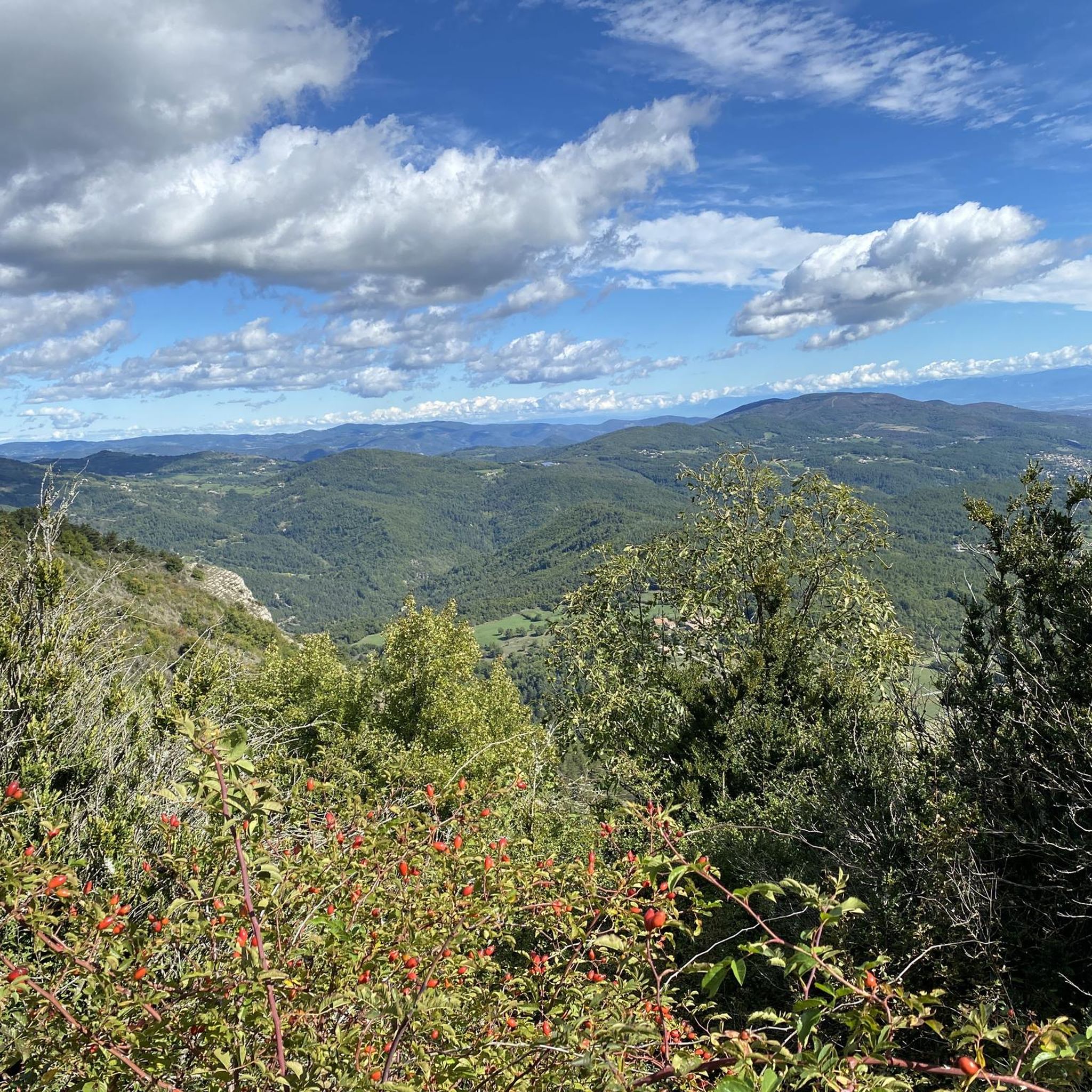
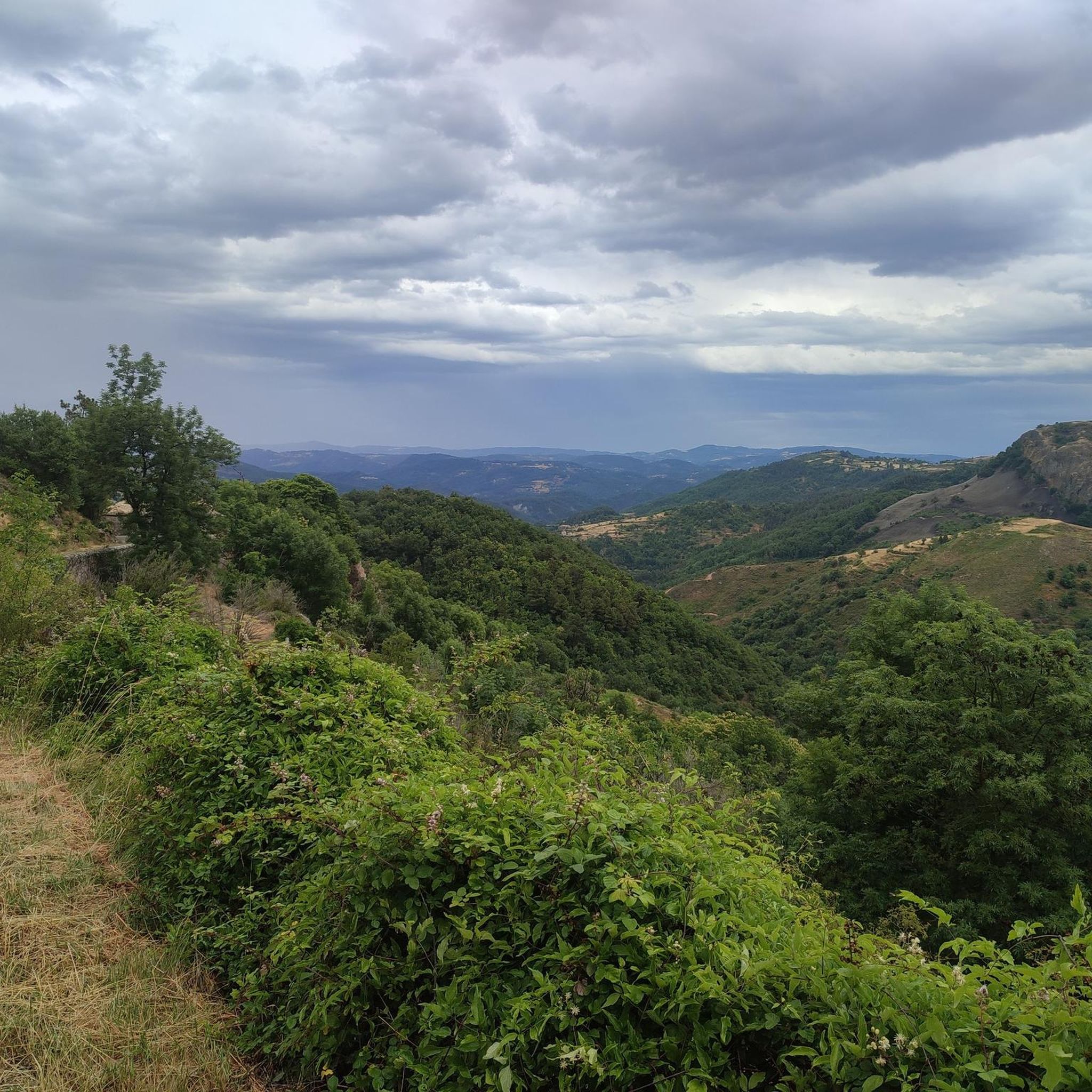
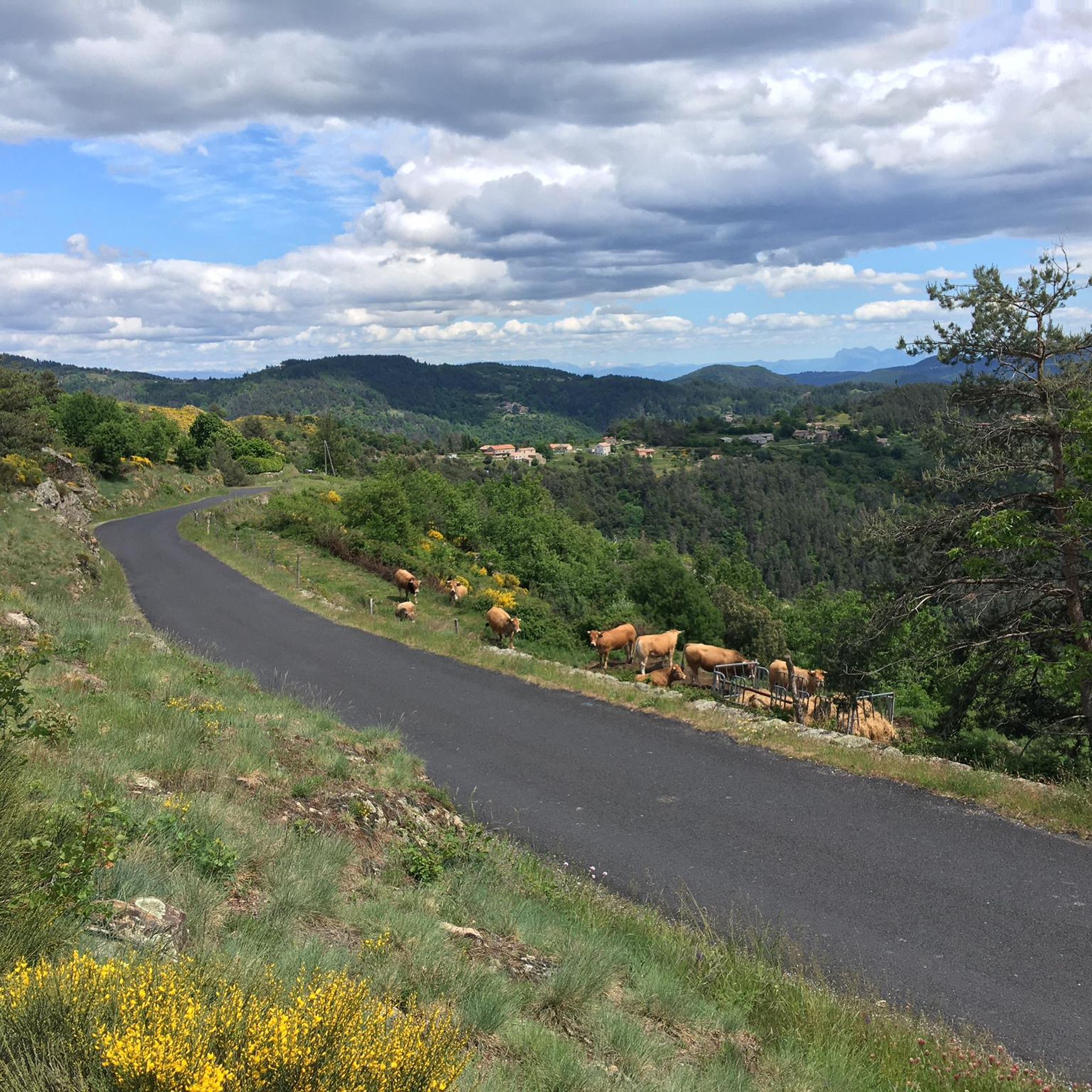
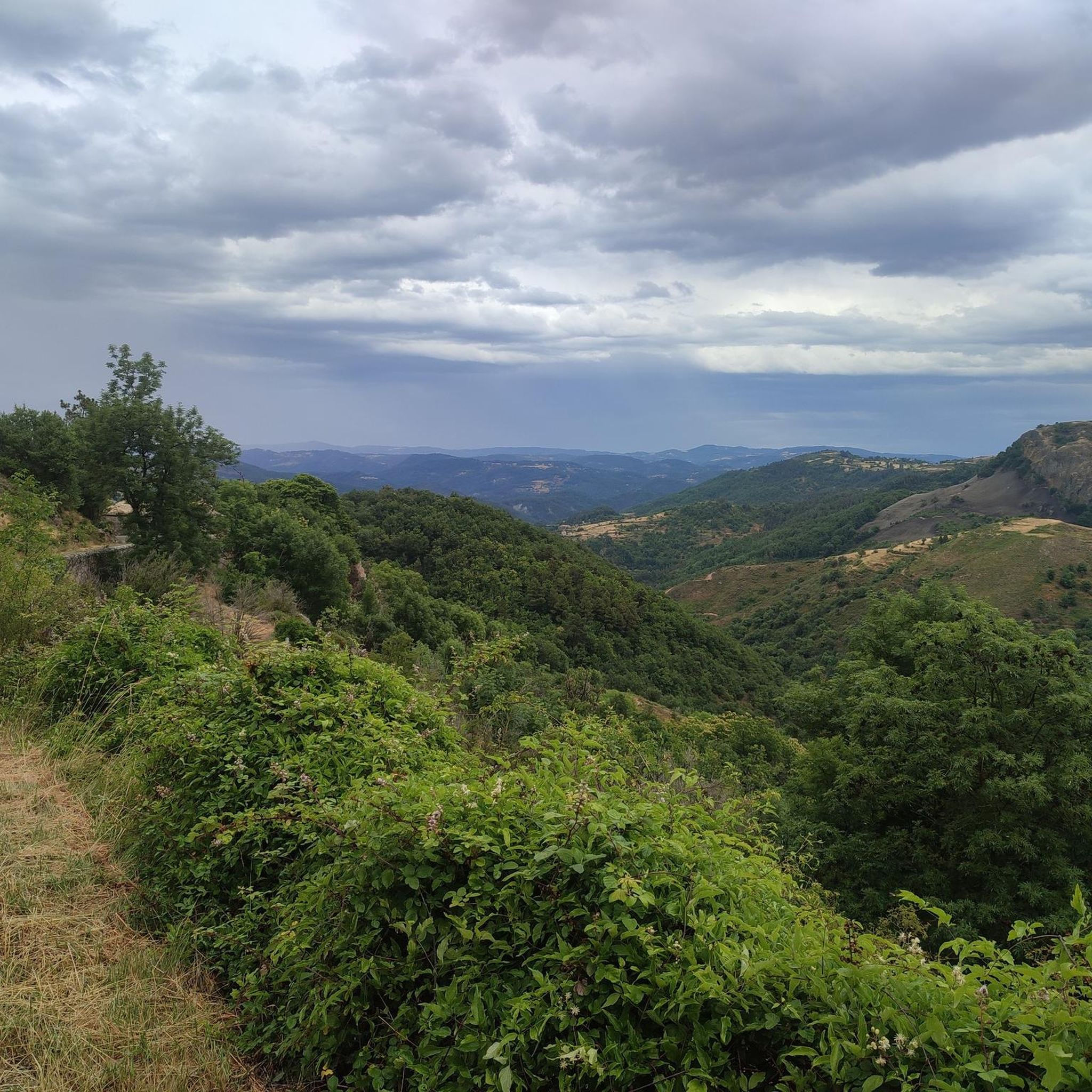
Hiking around Creysseilles offers diverse landscapes, blending volcanic terrain with dense forests and river valleys. The area features unique geological formations, including ancient lava flows and basaltic structures. Hikers can explore paths through chestnut and oak woods, cross streams, and traverse pastures. Panoramic views of the Ardèche mountains, including distant vistas of the Alps, are a recurring highlight.
Best hiking trails around Creysseilles
- The most popular hiking route is Along the volcano loop from Creysseilles, a 7.6 miles (12.2…
Last updated: June 30, 2026
4.9
(14)
108
hikers
12.2km
03:59
550m
550m
Moderate hike. Good fitness required. Easily-accessible paths. Suitable for all skill levels.
4.9
(14)
77
hikers
10.0km
03:11
400m
400m
Moderate hike. Good fitness required. Easily-accessible paths. Suitable for all skill levels.

Sign up for free
4.8
(6)
44
hikers
Moderate hike. Good fitness required. Mostly accessible paths. Sure-footedness required.
4.0
(2)
24
hikers
13.4km
04:07
480m
480m
Moderate hike. Good fitness required. Easily-accessible paths. Suitable for all skill levels.
4.5
(2)
19
hikers
14.7km
04:32
540m
540m
Moderate hike. Good fitness required. Easily-accessible paths. Suitable for all skill levels.
Get access to more routes and recommendations from other explorers.
Sign up for free
Already have an account?
Our route recommendations are based on thousands of hikes, rides, and runs completed by other people on komoot.
Start today with a free account
Your next adventure awaits.
Login or Signup

Tips from the Community

Look for a sheltered spot at the top and enjoy your lunch with this view
1
0


The Col des Croix de Creysseilles from the east is 3.5 km long with a total drop of 168 m. The average gradient is 4.8% with maximum gradients of 12%.
2
0

Frequently Asked Questions
What kind of terrain can I expect when hiking around Creysseilles?
Hiking around Creysseilles offers a diverse landscape. You'll encounter unique volcanic terrain, including ancient lava flows and basaltic formations, alongside dense chestnut and oak forests. Trails often traverse river valleys, cross streams, and lead through open pastures, all while providing frequent panoramic views of the Ardèche mountains, and on clear days, even distant vistas of the Alps.
Are there many circular hiking routes available in Creysseilles?
Yes, Creysseilles is well-suited for circular hikes. Many routes are designed as loops, allowing you to start and finish in the same location. Examples include the Along the volcano loop from Creysseilles, which explores the region's volcanic landscape, or the Serre de Praele loop from Creysseilles, offering varied scenery.
What natural features or landmarks can I see while hiking near Creysseilles?
The region is rich in natural features. You can explore unique volcanic formations like those found on a loop around Pourchères to the Rocher d'Ajoux, or enjoy 360-degree panoramas from Le Serre de Lès. The prominent Serre de Pied de Bœuf, with its former watchtower, also offers magnificent views. Trails often pass through ancient chestnut and oak woods, alongside old stone walls, and cross picturesque streams. For a different kind of attraction, you might encounter sections of the Voie verte La Dolce Via, a popular cycling path.
Are there family-friendly hiking options in Creysseilles?
Yes, there are numerous easy and moderate trails suitable for families. With over 50 easy routes available, you can find paths that are less strenuous and shorter in duration, perfect for hiking with children. These trails often wind through forests and pastures, providing enjoyable and accessible outdoor experiences.
Can I hike with my dog in Creysseilles?
Generally, the hiking trails around Creysseilles are dog-friendly, allowing you to enjoy the natural beauty with your canine companion. However, it's always advisable to keep your dog on a leash, especially when passing through pastures with livestock or in areas where wildlife might be present. Always carry water for your dog and clean up after them.
What is the best time of year to go hiking in Creysseilles?
The spring and autumn months are generally ideal for hiking in Creysseilles. During these seasons, the weather is typically mild and pleasant, and the natural scenery is particularly vibrant with blooming wildflowers or rich autumnal colors. Summer can be warm, so early morning or late afternoon hikes are recommended, while winter offers a different, often quieter, experience, though some higher elevation paths might be subject to colder conditions.
What do other hikers enjoy most about the trails in Creysseilles?
The hiking trails in Creysseilles are highly regarded by the komoot community, with an average rating of 4.6 stars from over 300 reviews. Hikers frequently praise the diverse landscapes, the unique volcanic features, and the stunning panoramic views. The well-maintained paths through forests and along river valleys are also often highlighted as enjoyable aspects of the experience.
Are there opportunities for wild swimming near hiking trails in Creysseilles?
While Creysseilles itself is not directly on a major river, the broader Ardèche region is renowned for its rivers and streams, which offer picturesque views and opportunities for swimming in pristine natural settings. Many trails in the area descend into paths that follow waterways, and with a bit of exploration, you might find suitable spots for a refreshing dip in the region's natural pools.
How many hiking trails are available around Creysseilles?
There are over 100 hiking trails available around Creysseilles, catering to various skill levels. This includes approximately 50 easy routes, 64 moderate routes, and a few more challenging options, ensuring there's a path for every hiker.
What other outdoor activities are available in the Creysseilles area besides hiking?
Beyond hiking, the Ardèche region around Creysseilles offers a wide array of outdoor activities. You can enjoy cycling and mountain biking on dedicated paths, or engage in water sports like canoeing, kayaking, canyoning, and rafting in the famous Gorges de l'Ardèche. Climbing, via ferrata, and caving are also popular for those seeking more adventurous pursuits. For more information on leisure activities, you can visit berg-coiron-tourisme.com.
Are there any easy hikes suitable for beginners in Creysseilles?
Yes, Creysseilles offers a good selection of easy hikes perfect for beginners or those looking for a relaxed walk. With over 50 easy routes, you can find trails that are shorter in distance and have minimal elevation gain. These paths often lead through pleasant forests and open meadows, providing an accessible way to enjoy the region's scenery.
What are the typical durations for hikes in Creysseilles?
Hike durations in Creysseilles vary widely depending on the route and your pace. Easy trails can be completed in an hour or two, while moderate routes typically range from 3 to 5 hours. For example, the Lais summit loop from Saint-Étienne-de-Serre is often completed in about 3 hours 22 minutes, covering 6.6 miles (10.6 km).
Most popular routes around Creysseilles
Most popular attractions around Creysseilles

Get inspired with the komoot mobile app


Explore more
Browse the best Hikes in other regions.
