The best walks and hikes around Saint-Thomas-De-Courceriers
4.4
(108)
471
hikers
42
hikes
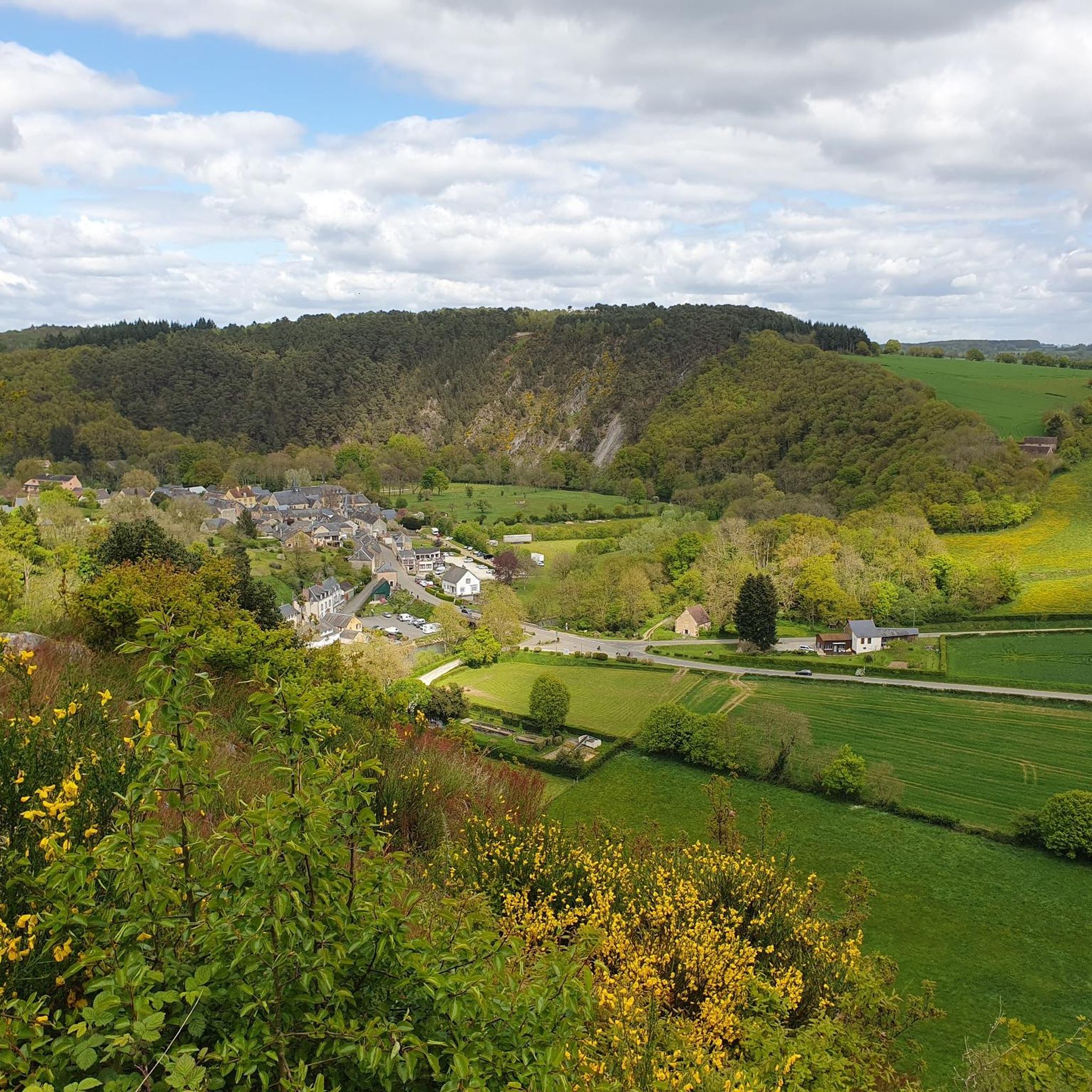
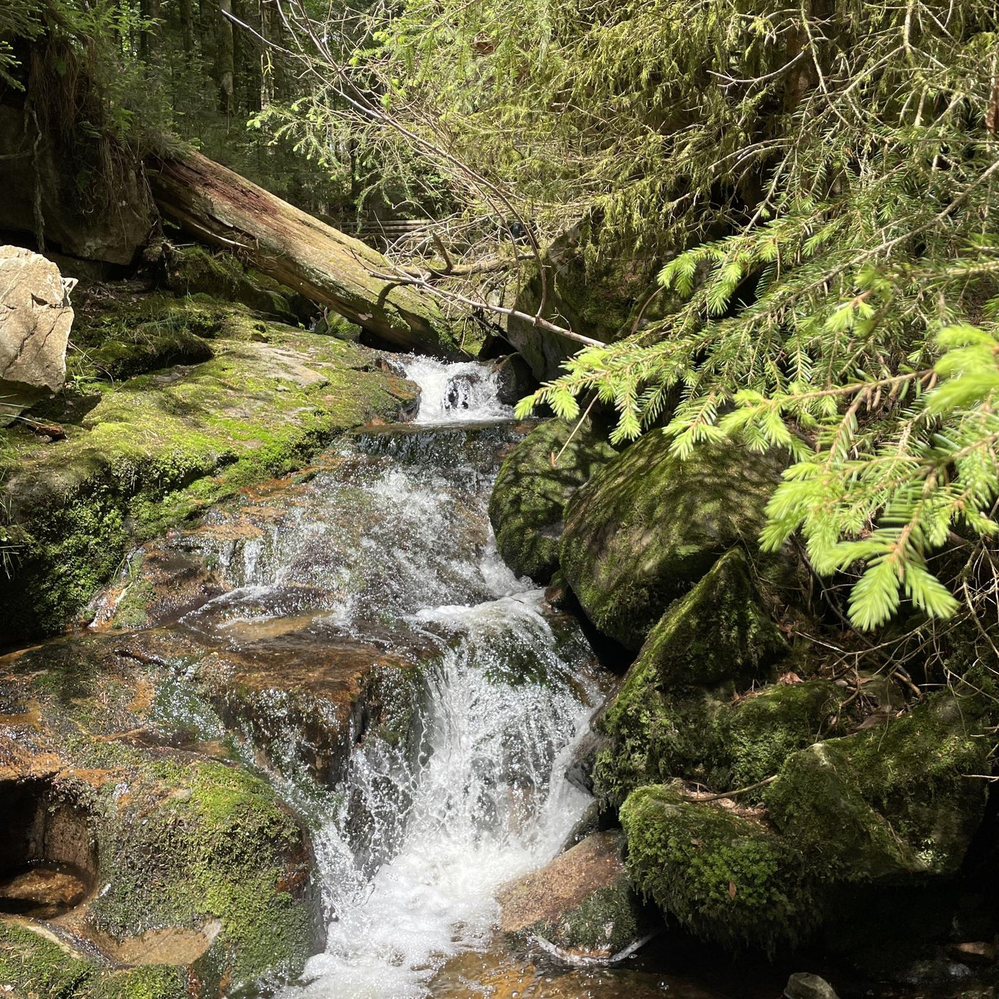
Hiking around Saint-Thomas-De-Courceriers offers access to diverse landscapes within the Mayenne department, particularly benefiting from its proximity to the Normandy-Maine Regional Natural Park. The region features verdant forests, rolling hills, and meandering rivers, providing varied terrain for outdoor activities. Hikers can explore areas like the Écouves forest, known for its varied terrain, and enjoy views from hills such as Mont Rochard. The landscape includes both gentle paths and more challenging ascents, catering to different hiking preferences.
Best hiking trails around…
Last updated: July 4, 2026
4.8
(5)
7
hikers
Moderate hike. Good fitness required. Easily-accessible paths. Suitable for all skill levels.
4.5
(2)
31
hikers
19.6km
05:24
330m
330m
Hard hike. Very good fitness required. Easily-accessible paths. Suitable for all skill levels.

Sign up for free
5.0
(4)
10
hikers
9.52km
02:33
110m
110m
Moderate hike. Good fitness required. Easily-accessible paths. Suitable for all skill levels.
4.0
(2)
10
hikers
12.3km
03:22
200m
200m
Moderate hike. Good fitness required. Easily-accessible paths. Suitable for all skill levels.
4.0
(1)
6
hikers
4.88km
01:20
70m
70m
Easy hike. Great for any fitness level. Easily-accessible paths. Suitable for all skill levels.
Get access to more routes and recommendations from other explorers.
Sign up for free
Already have an account?
Our route recommendations are based on thousands of hikes, rides, and runs completed by other people on komoot.
Start today with a free account
Your next adventure awaits.
Login or Signup



Tips from the Community

Beautiful chapel, to visit if possible!
0
0

At the exit of the forest, the path is bordered by fields and a magnificent panorama is offered to you. Take a few moments to pause in your run and enjoy the view, (the auto-pause function of your GPS watch is made for that)!
2
0
At the exit of the forest, the path is lined with fields and a magnificent panorama that awaits you.
2
0

We roll, we roll, we roll, and then, we fall on Lake Izé. Oh. And we stop. is it worth a photo? But this place is so beautiful! Why not take a break there! 😍
0
0

The chapel of Chêne is a Catholic sanctuary and a place of Marian pilgrimage, located in the town of Saint-Martin-de-Connée, in Mayenne, whose first chapel built in the 17th century gave way to the current chapel, which is larger, which was built at the end of the 19th century. The Virgin Mary is venerated there under her title of Our Lady of Sorrows, because of the miraculous statuette placed in the oak, now withered, which represents Mary holding the body of Jesus taken down from the Cross. Source: Wikipedia
0
0
Frequently Asked Questions
How many hiking trails are available around Saint-Thomas-De-Courceriers?
There are over 40 hiking routes available in the Saint-Thomas-De-Courceriers area, catering to various preferences. These include 16 easy, 22 moderate, and 4 difficult trails, offering a diverse range of experiences from gentle strolls to more challenging treks.
What kind of terrain and elevation can I expect on hikes in Saint-Thomas-De-Courceriers?
The region offers varied terrain, from verdant forests and rolling hills to charming 'chemins creux' or sunken lanes. You'll find both gentle paths and more challenging ascents, particularly around areas like Mont Rochard, which provides panoramic views. Trails often wind through dense woodlands and around serene lakes.
Are there any notable natural features or viewpoints to discover on the trails?
Yes, the area is rich in natural beauty and offers several viewpoints. You can enjoy expansive vistas from the Viewpoint - on the slopes of Mont Rochard, or visit the scenic Grand Pond of Sillé and Lake Izé. The Sillé-le-Guillaume Forest (72) also offers varied terrain for exploration.
What historical sites or landmarks can I see while hiking?
Hiking in Saint-Thomas-De-Courceriers is enhanced by several historical sites. You can explore the ruins of the Château de Courceriers, a medieval castle, or visit the Chapel of La Croix-Lamare, dating back to 1402. The area also features ancient megalithic monuments like the Menhir de la Petite Thébauderie and the Pierre longue de Lèverie, as well as preserved rural heritage such as hemp ovens and wash houses.
Are there any good circular walks in the area?
Yes, many trails in the region are designed as circular routes. For example, the "Circuit de Saint-Thomas-de-Courceriers" is a 7.7 km path showcasing the commune's heritage. Another option is the Lake Izé loop from Izé, a 9.5 km trail through forested areas and around the lake.
Are there any family-friendly hiking options?
While specific family-friendly routes are not detailed, the presence of 16 easy trails suggests suitable options for families. The scenic lakes, such as the Grand Pond of Sillé, offer amenities and a pleasant environment for shorter walks with children.
Can I bring my dog on the hiking trails?
The region's diverse natural landscapes, including forests and open countryside, generally welcome dogs. However, it's always advisable to keep dogs on a leash, especially in protected areas like the Normandy-Maine Regional Natural Park, and to check local regulations for specific trails or nature reserves.
What is the best time of year to go hiking in Saint-Thomas-De-Courceriers?
The region is enjoyable for hiking throughout much of the year. Spring and autumn offer pleasant temperatures and vibrant scenery with blooming flowers or colorful foliage. Summer is also suitable, especially for trails that pass through shaded forests or near lakes for a refreshing break. Winter hiking is possible, though some paths might be muddy.
Are there any longer, more challenging hikes for experienced trekkers?
Yes, for experienced hikers seeking a challenge, the area offers more demanding routes. The Four à chaux loop from Vimartin-sur-Orthe is a difficult 19.6 km path that provides a challenging experience through the local countryside.
What do other hikers say about the trails in Saint-Thomas-De-Courceriers?
The hiking trails around Saint-Thomas-De-Courceriers are highly rated by the komoot community, with an average score of 4.5 stars from over 90 reviews. Hikers often praise the varied terrain, dense woodlands, and serene lakes, noting the suitability of trails for various ability levels.
Is there public transport access to the hiking trailheads?
While Saint-Thomas-De-Courceriers is a rural area, public transport options might be limited directly to all trailheads. It is generally recommended to have a car for convenient access to the more remote starting points of hikes. Local bus services may connect to larger towns nearby, from which you might need to arrange further transport.
Where can I find parking for the hiking trails?
Parking is typically available near the starting points of marked trails, especially in villages or at popular natural sites like the Grand Pond of Sillé. Look for designated parking areas in commune centers or near specific attractions mentioned in route descriptions.
Most popular routes around Saint-Thomas-De-Courceriers
Most popular attractions around Saint-Thomas-De-Courceriers

Get inspired with the komoot mobile app


Explore more
Browse the best Hikes in other regions.
