The best running trails around Ottstedt am Berge
4.4
(484)
5,201
runners
282
runs
Jogging routes around Ottstedt am Berge traverse the picturesque Weimarer Land region, characterized by its rolling hills and extensive forest areas. The landscape offers a mix of gentle inclines and descents, providing varied terrain for runners. Numerous trails, often shared with hikers and cyclists, wind through wooded sections and open countryside, offering diverse running experiences. The region's natural features include green spaces and tree-lined paths, making it suitable for refreshing runs.
Best jogging routes around Ottstedt am Berge
- The most…
Last updated: October 13, 2026
3.8
(4)
9
runners
8.00km
00:51
80m
80m
Moderate run. Good fitness required. Mostly paved surfaces. Suitable for all skill levels.
4.0
(3)
8
runners
7.09km
00:45
70m
70m
Moderate run. Good fitness required. Mostly paved surfaces. Suitable for all skill levels.

3.0
(1)
8
runners
12.0km
01:18
190m
190m
Moderate run. Good fitness required. Mostly paved surfaces. Suitable for all skill levels.
5.0
(1)
1
runners
Moderate run. Good fitness required. Mostly paved surfaces. Suitable for all skill levels.
5.0
(1)
2
runners
6.80km
00:45
70m
70m
Moderate run. Good fitness required. Mostly paved surfaces. Suitable for all skill levels.
Get access to more routes and recommendations from other explorers.
Already have an account?
Our route recommendations are based on thousands of hikes, rides, and runs completed by other people on komoot.
Start today with a free account
Your next adventure awaits.

Tips from the Community

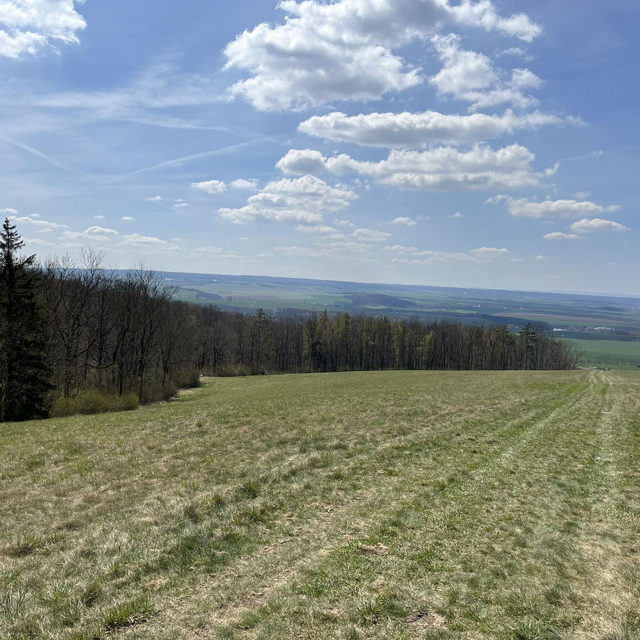
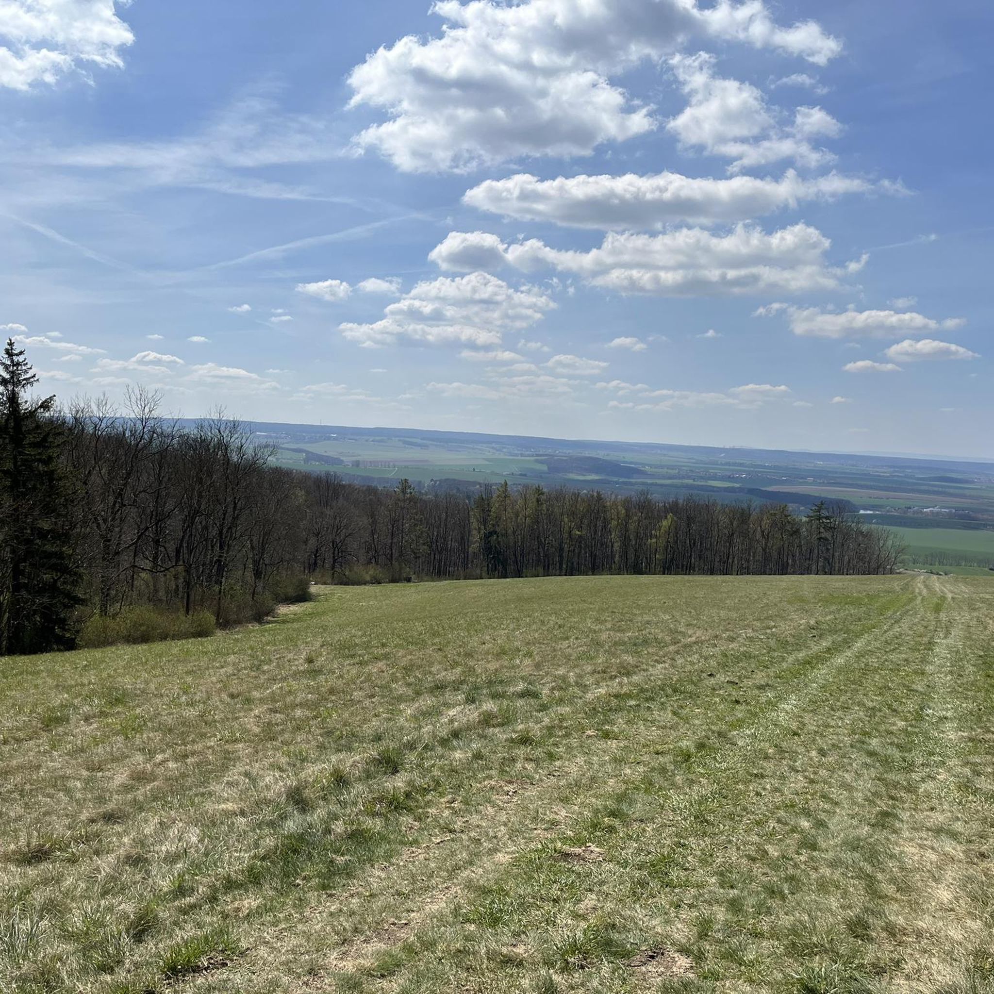
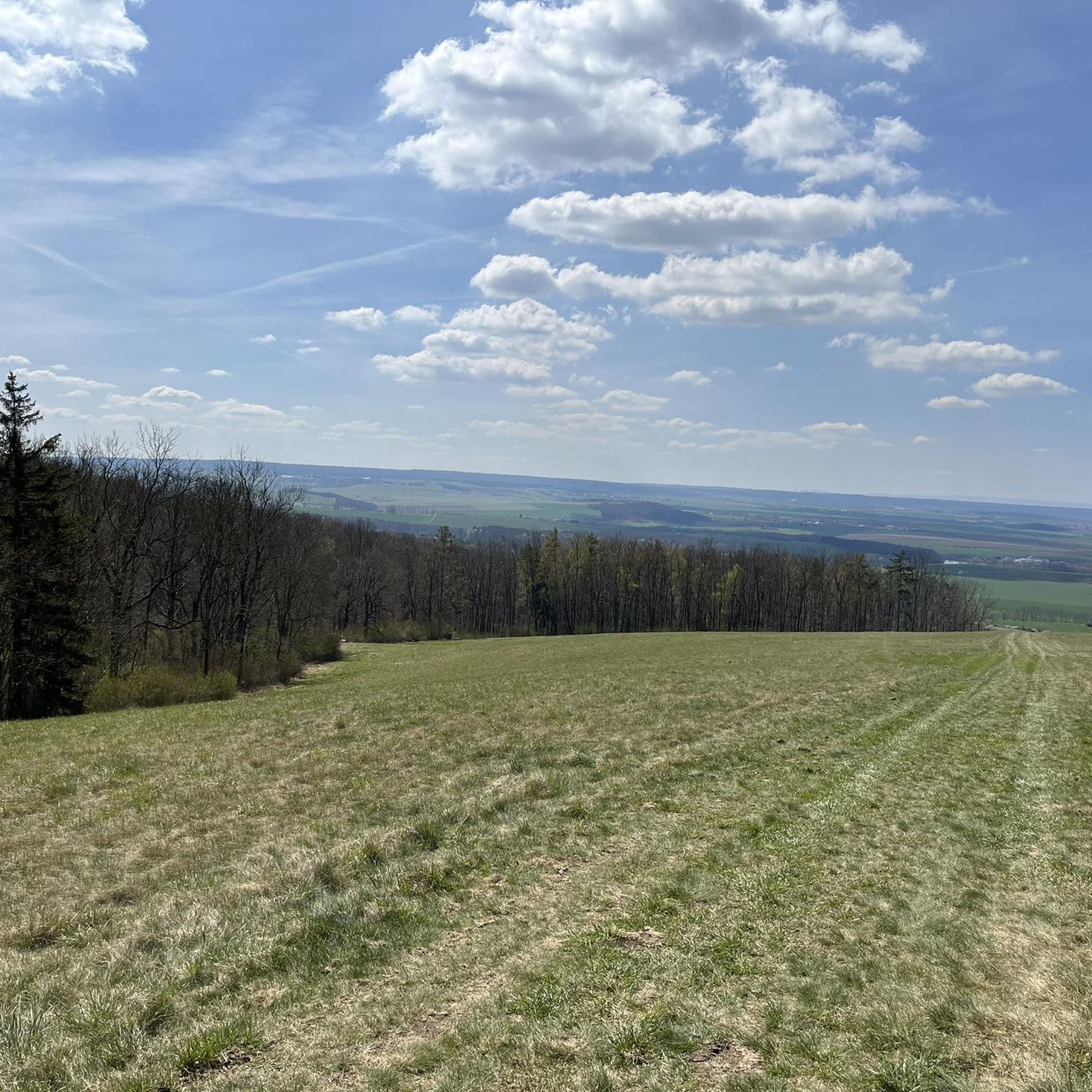
Wartturm near Niederzimmern on the Wartenberg. Wonderful view and tranquility. A few cows graze nearby. https://warttuerme.de/warttuerme/thueringen/wartturm-niederzimmern/
0
0

Reminds us of bad times in German history.
1
0

Fritz Cremer's famous Buchenwald sculpture is part of the Buchenwald Memorial, the largest and most important concentration camp memorial in Germany. Created between 1954 and 1958, the group of figures was restored between 2002 and 2005. The expressive group comprises eleven larger-than-life bronze figures symbolizing struggle and sacrifice, victory and the prisoners' oath. Behind the group of monuments, the 50-meter-high bell tower rises majestically, visible far into the distance.
5
0

The Hopfgarten Lookout was part of a defensive ring of 16 towers surrounding the city of Erfurt. Of the Niederzimmern Lookout, only the 7.30 m high tower remains. After completing the climb, you can enjoy the view of Niederzimmern from a covered rest area.
0
0

The bell tower, also known as the Tower of Freedom until the 1970s, is the 50.73-meter-high tower of the former Buchenwald National Memorial and Memorial Site of the GDR, built between 1954 and 1958. This name was replaced in the 1970s by the title of "bell tower" that has been used ever since. Built of light sandstone, the tower was designed by the sculptor Fritz Cremer and features a 41-meter-high observation platform accessible via two staircases. At the same height as this platform is the Buchenwald bell, which weighs 6.8 tons and, unlike most large bells, is not suspended but mounted on four steel supports. The bell is struck every hour.
2
0
This will keep you waiting.
1
0

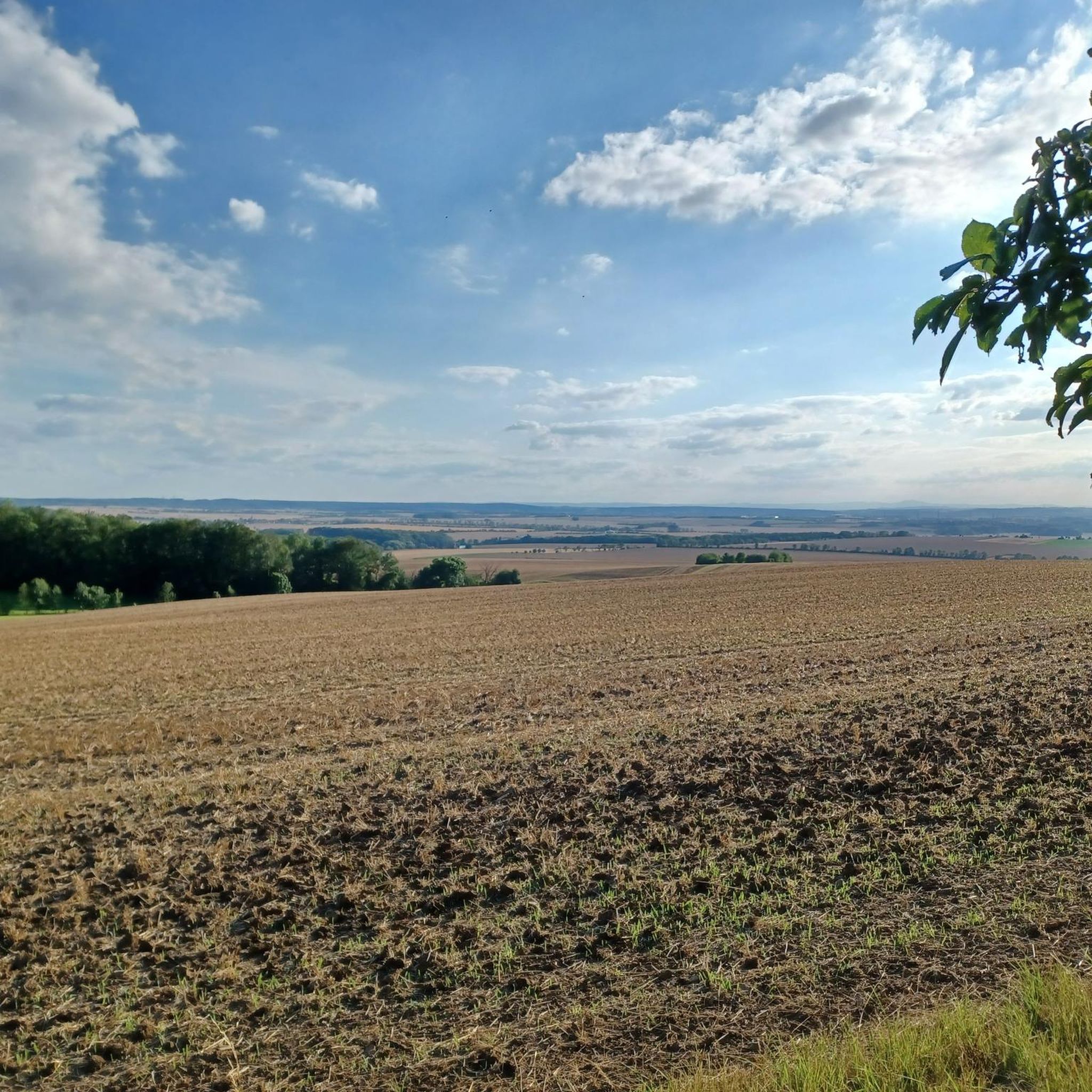
Distant view of the Ettersberg, Buchenwald concentration camp
0
0
Wide view of Niederzimmern and the surrounding area, opposite the Ettersberg.
0
0
Frequently Asked Questions
How many running routes are available around Ottstedt am Berge?
There are nearly 300 running routes available around Ottstedt am Berge, offering a wide variety of options for all fitness levels. The region's extensive trail networks, often shared with hikers and cyclists, provide diverse terrain for joggers.
What kind of terrain can I expect on the running trails in Ottstedt am Berge?
The running trails around Ottstedt am Berge are characterized by rolling hills, dense woodlands, and open countryside. You can expect a mix of gentle inclines and descents, providing varied terrain for different running workouts. Many paths wind through forest sections and tree-lined avenues, offering a refreshing experience.
Are there running routes suitable for beginners or those looking for an easy jog?
Yes, Ottstedt am Berge offers 17 easy running routes perfect for beginners or those seeking a relaxed jog. These trails typically feature less elevation gain and are often well-maintained, allowing for a comfortable and enjoyable experience through the picturesque countryside.
Are there more challenging running trails for experienced runners?
For experienced runners looking for a challenge, there are 44 difficult running routes around Ottstedt am Berge. These trails often feature more significant elevation changes and can include more technical sections, providing a robust workout amidst the region's varied landscape.
What do other runners say about the routes in Ottstedt am Berge?
The running routes in Ottstedt am Berge are highly rated by the komoot community, with an average score of 4.4 stars from over 400 reviews. More than 4000 runners have used komoot to explore the varied terrain, often praising the scenic views and diverse natural features.
Are there any circular running routes in the area?
Yes, many of the running routes around Ottstedt am Berge are circular, allowing you to start and finish at the same point. An example is the moderate Buchenwald Memorial Bell Tower – Bell Tower at the Buchenwald Memorial loop from Buchenwald Memorial, which covers 10.1 km.
Can I bring my dog on the running trails around Ottstedt am Berge?
While specific regulations for dogs vary by trail, many of the natural paths and forest trails in the Weimarer Land region are generally dog-friendly. It's always recommended to keep your dog on a leash, especially in nature reserves or areas with wildlife, and to clean up after them. Look for signs at trailheads for specific local rules.
Are there family-friendly running options in Ottstedt am Berge?
Yes, the region offers several easy and moderate routes that are suitable for families. These trails often pass through green spaces and offer a pleasant environment for a family jog or walk. The varied terrain ensures there are options that aren't too strenuous for younger family members.
What natural features or scenic viewpoints can I see while running?
While running around Ottstedt am Berge, you can enjoy the picturesque countryside, rolling hills, and extensive forest areas. The region is known for its green spaces, including areas like the 'Wild Garlic Forest' and 'Orchard Tree Avenue'. You might also catch scenic views from higher points, such as those found on the View south from Ettersberg – Bell Tower at the Buchenwald Memorial loop from Buchenwald Memorial route.
Are there historical sites or landmarks along the running paths?
Yes, some running routes incorporate historical sites. For instance, the Buchenwald Memorial – Ettersburg Castle loop from Buchenwald Memorial leads through forested areas and past significant historical sites like Ettersburg Castle. Other nearby attractions include Kromsdorf Castle and the Ruins of the Tempelherrenhaus, which are often surrounded by grounds suitable for running.
Is public transport available to access running routes in Ottstedt am Berge?
Ottstedt am Berge is part of the broader Weimarer Land region, which has public transport connections. While direct access to every trailhead might vary, local bus services often connect the smaller towns and villages. It's advisable to check local transport schedules for the most convenient access points to your chosen running route.
Are there good parking options near the running trails?
Parking availability varies by trailhead. In smaller villages like Ottstedt am Berge, you can often find public parking spaces near community centers or trail access points. For routes starting near larger attractions like the Buchenwald Memorial or Ettersburg Castle, dedicated parking facilities are usually available.
Most popular routes around Ottstedt am Berge
Most popular attractions around Ottstedt am Berge

Get inspired with the komoot mobile app


Explore more
Browse the best Running Trails & Routes in other regions.
