The best cycling routes around Saint-Jean-Roure
4.5
(923)
7,462
riders
155
rides
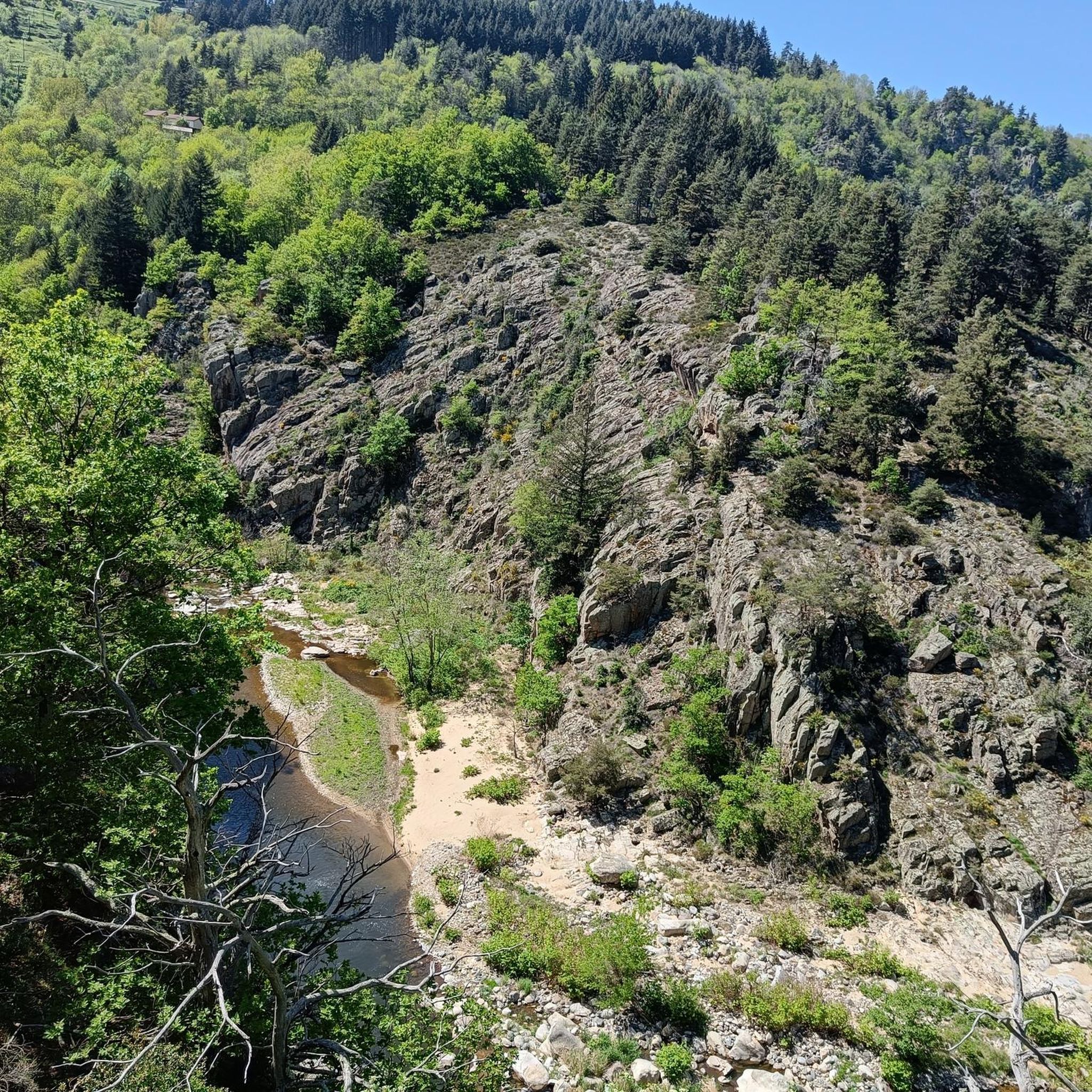
Touring cycling routes around Saint-Jean-Roure traverse a mountainous and rural landscape within the Haut-Vivarais area of the Monts d'Ardèche Regional Natural Park. The terrain features varied altitudes, ranging from 470m to 1,132m, offering a mix of ascents and descents. Cyclists can explore routes through dense forests, along river valleys like the Eyrieux, and past volcanic formations characteristic of the eastern Massif Central.
Best touring cycling routes around Saint-Jean-Roure
- The most popular touring cycling route is Dolce Via : sur les…
Last updated: October 16, 2026

4.7
(84)
593
riders
21.9km
01:40
310m
350m
Moderate bike ride. Good fitness required. Mostly paved surfaces. Suitable for all skill levels.
4.9
(14)
139
riders
Moderate bike ride. Good fitness required. Mostly paved surfaces. Suitable for all skill levels.

4.8
(111)
728
riders
78.0km
05:02
730m
730m
Hard bike ride. Very good fitness required. Mostly paved surfaces. Suitable for all skill levels.
4.7
(103)
708
riders
40.1km
02:43
450m
450m
Hard bike ride. Very good fitness required. Mostly paved surfaces. Suitable for all skill levels.
4.9
(100)
585
riders
Hard bike ride. Very good fitness required. Mostly paved surfaces. Suitable for all skill levels.
Get access to more routes and recommendations from other explorers.
Already have an account?
Our route recommendations are based on thousands of hikes, rides, and runs completed by other people on komoot.
Start today with a free account
Your next adventure awaits.
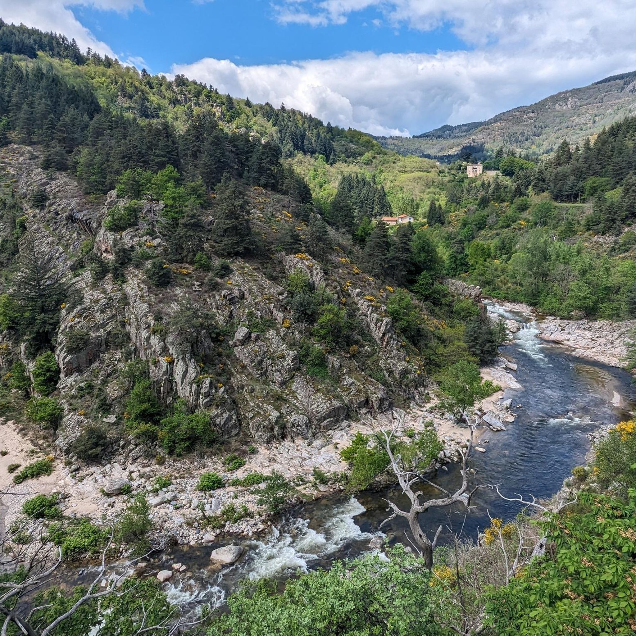
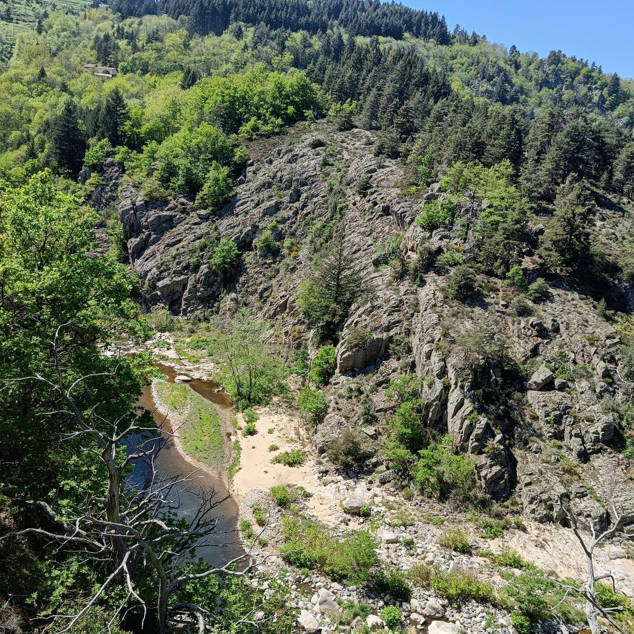
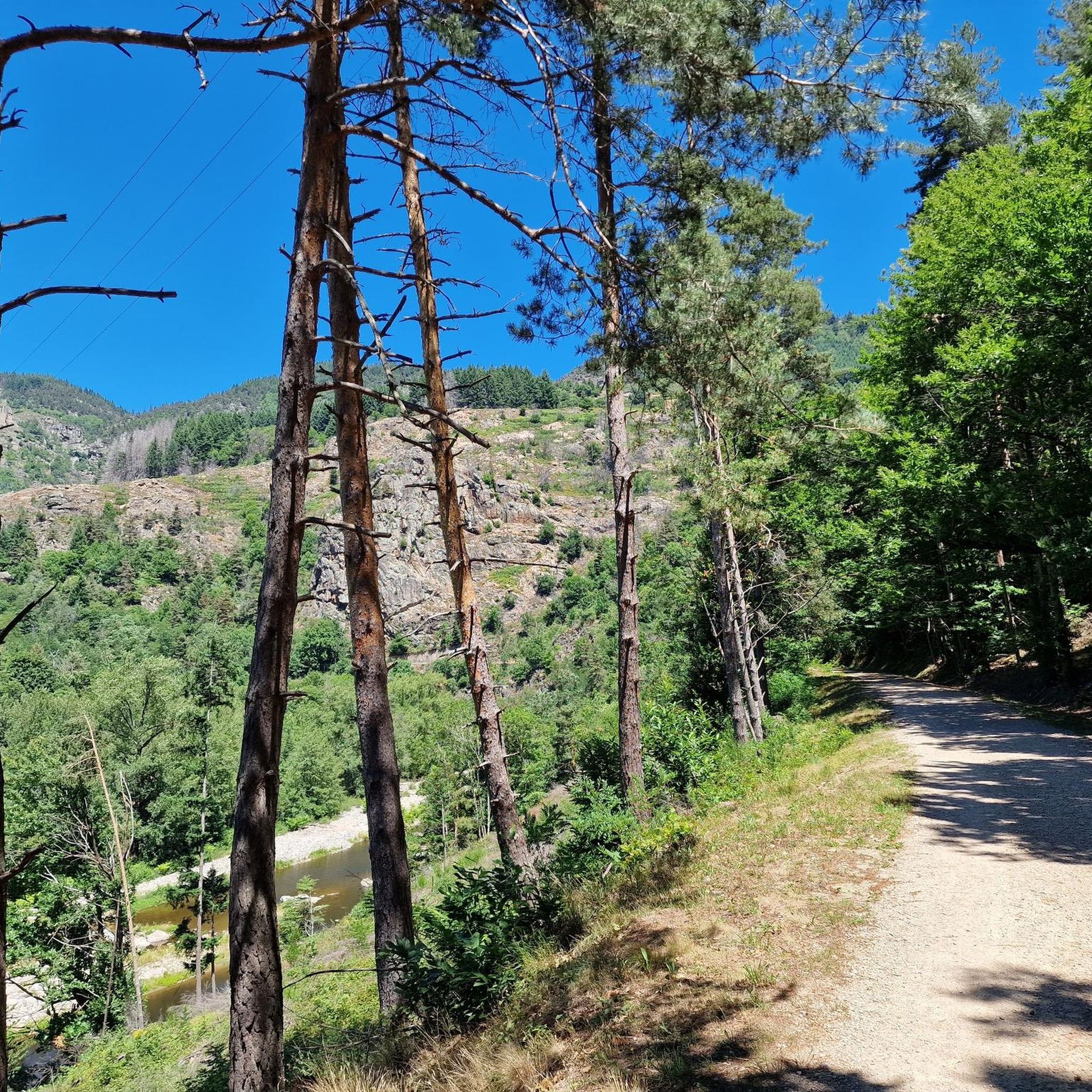
Tips from the Community

Largely practicable for families. If you haven't been on a bike for at least 5 years, prefer an electric bike. You will find dry toilets along the route and a few rare shelters in case of rain.
0
0

superb landscape. but surfacing sometimes leaving something to be desired (gravel/sand making the climb delicate and slow) very good signage, even excessive. the savings made on this would certainly allow for maintenance.
0
0

Board the Mastrou and discover our entire line, from the T. St Jean de Muzols station to Lamastre. The railway is the only way to admire the wild landscapes of the Doux Valley, a river it follows for 28 kilometers, crossing bridges, viaducts, and tunnels. From the Gorges du Doux to the Ardèche plateau, passing through orchards and chestnut groves, you won't miss a thing in the Ardèche verte! https://www.trainardeche.fr/
0
0

A very beautiful route to share with the family
0
0

Excellent cuisine! Very friendly service
0
0

Great route. We went from Saint-Agrève to Valence. A magnificent descent along the gorges. I recommend it 200%.
0
0


Restaurant, snack bar, small grocery store and children's games
0
0
Frequently Asked Questions
What kind of terrain can I expect when touring cycling around Saint-Jean-Roure?
Saint-Jean-Roure is characterized by its rugged, mountainous terrain within the Haut-Vivarais area of the Monts d'Ardèche Regional Natural Park. Altitudes range from 470m to 1,132m, offering a mix of challenging ascents and rewarding descents. You'll cycle through dense forests, along river valleys like the Eyrieux, and encounter volcanic formations typical of the eastern Massif Central.
Are there many touring cycling routes available in Saint-Jean-Roure?
Yes, there are over 130 touring cycling routes around Saint-Jean-Roure. These routes cater to various skill levels, with 11 easy, 29 moderate, and 99 difficult options, ensuring there's a path for every cyclist.
What are some notable natural features or landmarks I can see while cycling in the area?
The region offers stunning natural beauty. You can explore volcanic landscapes, with the Mont Gerbier de Jonc (source of the Loire River) about 20 km away. The Eyrieux River traverses the area, and picturesque waterfalls like the Cascade du Ray-Pic (23km) and Cascade de la Beaume (42km) are within cycling distance. You'll also find yourself immersed in extensive forests, which cover over 68% of the land.
Are there any family-friendly touring cycling routes near Saint-Jean-Roure?
Yes, the Dolce Via : sur les voies ferrées en Ardèche is an excellent option for families. This route follows a former railway line, providing a relatively gentle gradient through the scenic Ardèche landscape, making it suitable for a more relaxed ride.
What do other touring cyclists say about the routes in Saint-Jean-Roure?
The touring cycling routes in Saint-Jean-Roure are highly regarded by the komoot community, holding an impressive average rating of 4.6 stars from over 600 reviews. Cyclists often praise the diverse terrain, the immersion in nature, and the well-maintained paths, especially sections of the Dolce Via.
Can I find circular touring cycling routes in Saint-Jean-Roure?
Yes, there are several circular routes available. For example, the La Dolce Via – Voie verte La Dolce Via loop from Noirols offers a longer, challenging loop, while the La Dolce Via – Nonières Tunnel loop from La Palisse Ouest provides a moderate option.
Are there any easy touring cycling routes for beginners?
While many routes feature hilly terrain, sections of the Dolce Via are known for their gentler gradients. The La Dolce Via from Le Cheylard to Saint-Martin-de-Valamas is a moderate path that offers scenic views within the Monts d'Ardèche Regional Natural Park, suitable for those looking for a less strenuous ride.
What are some challenging touring cycling routes for experienced riders?
For experienced riders seeking a challenge, the region offers routes with significant elevation changes. The Viewpoint on the Dolce Via – Chapignac Viaduct loop from Plaisance is a difficult 41.4 km trail with nearly 700 meters of elevation gain, providing varied terrain and notable viewpoints.
Are there any lakes or swimming areas accessible from the cycling routes?
Yes, the region offers nearby lakes and swimming spots. You can find places like Lac des Collanges and Lake Devesset. The Retourtour swimming area is also a great option for a refreshing stop.
What kind of historical or cultural sites can I visit along the touring cycling routes?
While Saint-Jean-Roure itself has the historic Église Saint-Jean, nearby villages like Desaignes (9 km) and Antraigues-sur-Volane (25 km) offer charming cultural stops with medieval architecture. The ruins of Château de Rochebonne are also a notable local attraction. You might also pass by the Le Cheylard train station, a remnant of the area's railway history now part of the Dolce Via.
Is it possible to find local markets or places to get provisions while cycling?
Yes, you can visit local markets in nearby towns to experience local culture and stock up on provisions. Le Cheylard (4km), Saint-Agrève (8km), and Lamastre (13km) are all within a reasonable distance and host markets.
What is the best time of year for touring cycling in Saint-Jean-Roure?
The region's mountainous and forested landscape makes it enjoyable across several seasons. Spring and autumn offer pleasant temperatures and vibrant scenery, ideal for cycling. Summer can also be great, especially with the shaded routes through dense forests and opportunities to cool off at nearby rivers or lakes.
Most popular routes around Saint-Jean-Roure
Most popular attractions around Saint-Jean-Roure

Get inspired with the komoot mobile app


Explore more
Browse the best Cycling routes in other regions.
