The best walks and hikes around Saint-Mamert-Du-Gard
4.3
(280)
1,646
hikers
131
hikes
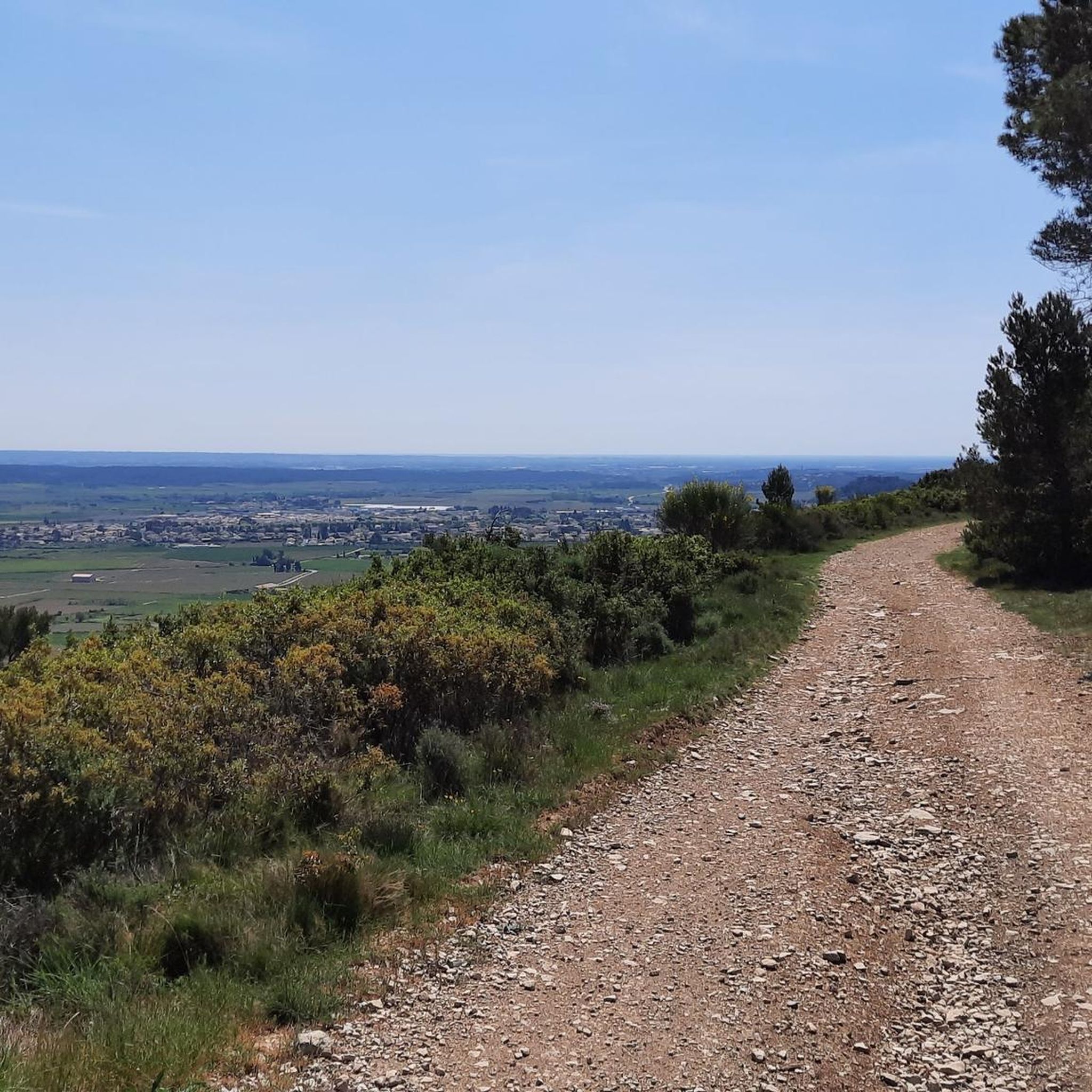
Hiking around Saint-Mamert-Du-Gard offers diverse landscapes, from scrubland massifs to limestone formations. The region, situated in the Gard department of Occitanie, France, features a variety of trails suitable for different fitness levels. It is characterized by rolling hills, including the "Bois des Lens" with peaks reaching 260 to 280 meters, and provides access to significant natural attractions like the Gorges de l'Ardèche and the Cévennes National Park.
Best hiking trails around Saint-Mamert-Du-Gard
- The most popular hiking route is Church Tower…
Last updated: July 8, 2026
5.0
(1)
19
hikers
6.04km
01:41
110m
110m
Easy hike. Great for any fitness level. Easily-accessible paths. Suitable for all skill levels.
4.3
(4)
10
hikers
12.0km
03:09
100m
100m
Moderate hike. Good fitness required. Easily-accessible paths. Suitable for all skill levels.

Sign up for free
4.0
(1)
5
hikers
15.3km
04:14
260m
260m
Moderate hike. Good fitness required. Easily-accessible paths. Suitable for all skill levels.
5.0
(1)
6
hikers
Moderate hike. Good fitness required. Easily-accessible paths. Suitable for all skill levels.
5.0
(1)
6
hikers
Easy hike. Great for any fitness level. Easily-accessible paths. Suitable for all skill levels.
Get access to more routes and recommendations from other explorers.
Sign up for free
Already have an account?
Our route recommendations are based on thousands of hikes, rides, and runs completed by other people on komoot.
Start today with a free account
Your next adventure awaits.
Login or Signup

Tips from the Community

Tables and equipment for comfortable picnicking
0
0

It is fascinating to admire a detail through the keyhole when the church is closed.
2
0

Presence of a fountain to fill your cans, particularly welcome in the summer.
0
0

For those who love old stones...an old farm/sheepfold/??? fallen into ruins (only the walls remain)
1
0
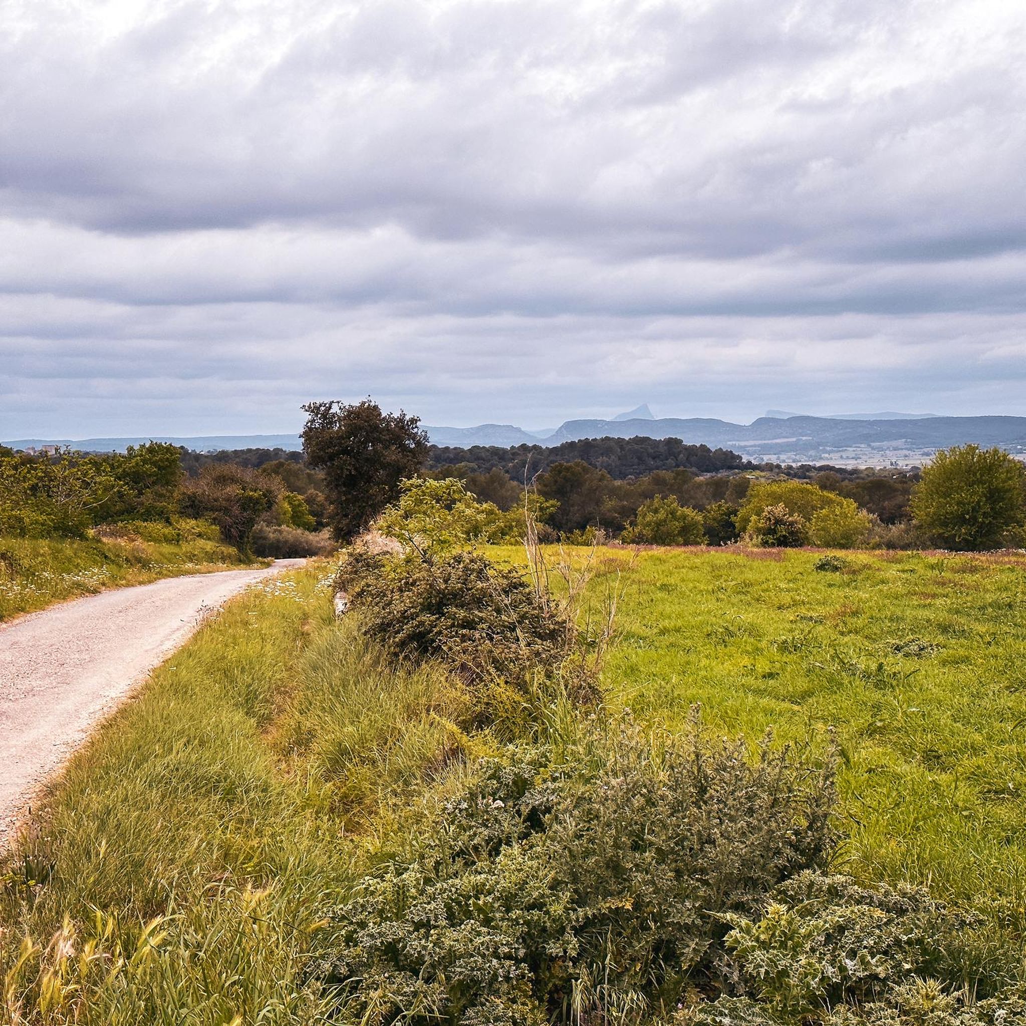
A beautiful track between the villages of St. Mamert du Gard and Fons
1
0
Nice little descent in stone stairs (= Calade)
1
0

beautiful village square as a start for hikes, bike tours and MTB tours.
0
0
Frequently Asked Questions
How many hiking trails are available around Saint-Mamert-du-Gard?
There are over 120 hiking trails in the Saint-Mamert-du-Gard area, offering a wide range of options for different skill levels and preferences. You'll find everything from easy strolls to more challenging routes.
Are there any easy hiking trails suitable for beginners or families?
Yes, Saint-Mamert-du-Gard offers numerous easy trails. For example, the Church Tower of Montpezat – Stone Staircase (Calade) loop from Montpezat is an easy 6 km route that takes about 1 hour 40 minutes to complete, perfect for a relaxed outing. Another accessible option is the Ruins of an Old Sheepfold – White road - Gravelissime! loop from Fons, an easy 7 km trail.
What kind of landscapes can I expect to see while hiking in this region?
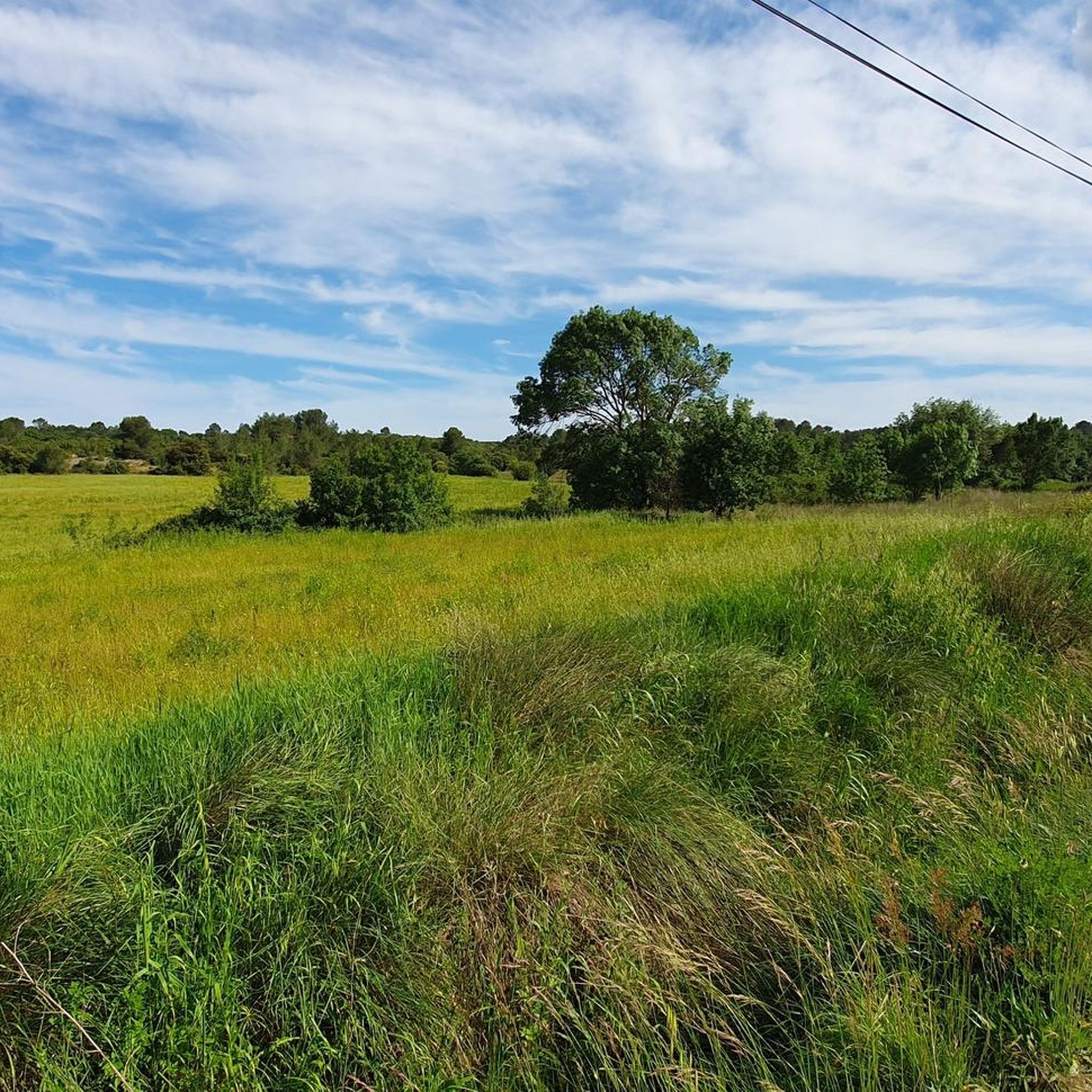
The region around Saint-Mamert-du-Gard is characterized by diverse landscapes, including scrubland massifs like the 'Bois des Lens' with peaks up to 280 meters, rolling hills, and limestone formations. You'll encounter open countryside, vineyards, and often panoramic views of the surrounding area.
Are there any circular hiking routes available?
Yes, many of the trails around Saint-Mamert-du-Gard are circular, allowing you to start and end at the same point. An example is the White road - Gravelissime! – Ruins of an Old Sheepfold loop from Saint-Mamert-du-Gard, a moderate 7.9 km loop.
What are some interesting natural attractions or landmarks to see near the hiking trails?
Beyond the immediate trails, the wider Gard region offers spectacular natural attractions. You can explore the Ancient Roman Quarry or visit the Roman Fountain of Ranquet. For impressive views, consider the Oppidum of Nages or the View of the Vaunage. Further afield, the Cascades du Sautadet waterfalls and the Gorges de l'Ardèche are notable natural wonders.
Can I find trails that lead to viewpoints or offer panoramic vistas?
Absolutely. Many routes in the area provide excellent opportunities for panoramic views. The 'Bois des Lens' massif itself offers elevated points. For specific viewpoints, consider visiting the Oppidum of Nages or the View of the Vaunage, which are accessible via nearby trails.
What do other hikers say about the trails in Saint-Mamert-du-Gard?
The hiking trails around Saint-Mamert-du-Gard are highly regarded by the komoot community, with an average rating of 4.4 stars from over 240 reviews. Hikers often praise the varied terrain, the peaceful scrubland, and the well-maintained paths that make for enjoyable excursions.
Are there any trails that pass by historical sites or cultural landmarks?
Yes, the region has a rich history reflected in its landscapes. You might encounter historical elements like the Ancient Roman Quarry or the Roman Fountain of Ranquet. The 'Church Tower of Montpezat' routes also hint at historical village architecture.
Is it possible to find trails with parking facilities nearby?
Many hiking routes in the Saint-Mamert-du-Gard area, especially those starting from villages like Montpezat or Saint-Mamert-du-Gard itself, typically have designated parking areas nearby. It's always advisable to check the specific route details on komoot for parking information before you set out.
What is the best time of year to go hiking in Saint-Mamert-du-Gard?
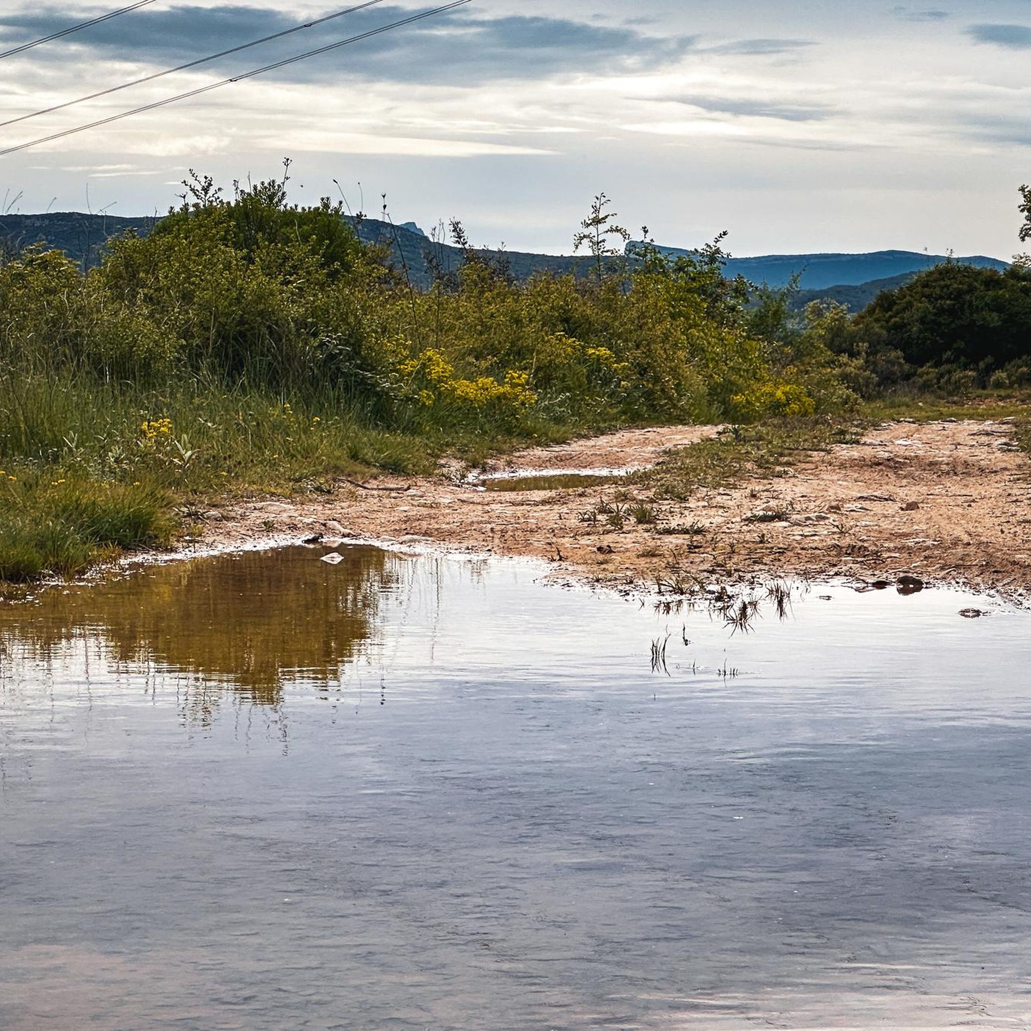
The region enjoys a Mediterranean climate, making spring and autumn ideal for hiking when temperatures are mild and the landscapes are vibrant. Summer can be hot, so early morning or late afternoon hikes are recommended, while winter offers cooler, crisp conditions, though some trails might be muddy after rain.
Are there any trails that are particularly long or challenging for experienced hikers?
While many trails are easy to moderate, there are options for more experienced hikers seeking longer distances. For example, the Stone Staircase (Calade) – Church Tower of Montpezat loop from Montpezat is a moderate 15.3 km route, taking over 4 hours to complete, offering a good challenge with varied terrain.
Most popular routes around Saint-Mamert-Du-Gard
Most popular attractions around Saint-Mamert-Du-Gard

Get inspired with the komoot mobile app


Explore more
Browse the best Hikes in other regions.
