The best road cycling routes around Villers-Carbonnel
4.2
(20)
736
riders
257
rides
Road cycling around Villers-Carbonnel features a landscape characterized by generally low elevation gains and moderate distances, suitable for various skill levels. The region offers routes that traverse open countryside and connect to local towns and historical sites. Road cycling routes in this area often include gentle gradients, making them accessible for sustained rides. The terrain is primarily flat to gently rolling, typical of the Somme department.
Best road cycling routes around Villers-Carbonnel
- The most popular road cycling route is Roadbike…
Last updated: July 16, 2026
8
riders
52.5km
02:13
330m
330m
Moderate road ride. Good fitness required. Mostly well-paved surfaces and easy to ride.
6
riders
68.2km
02:59
360m
360m
Moderate road ride. Good fitness required. Mostly well-paved surfaces and easy to ride.

Sign up for free
5
riders
Moderate road ride. Good fitness required. Mostly well-paved surfaces and easy to ride.
4
riders
51.9km
02:11
330m
330m
Moderate road ride. Good fitness required. Mostly well-paved surfaces and easy to ride.
4
riders
48.1km
01:58
240m
240m
Easy road ride. Great for any fitness level. Mostly well-paved surfaces and easy to ride.
Get access to more routes and recommendations from other explorers.
Sign up for free
Already have an account?
Our route recommendations are based on thousands of hikes, rides, and runs completed by other people on komoot.
Start today with a free account
Your next adventure awaits.
Login or Signup



Tips from the Community

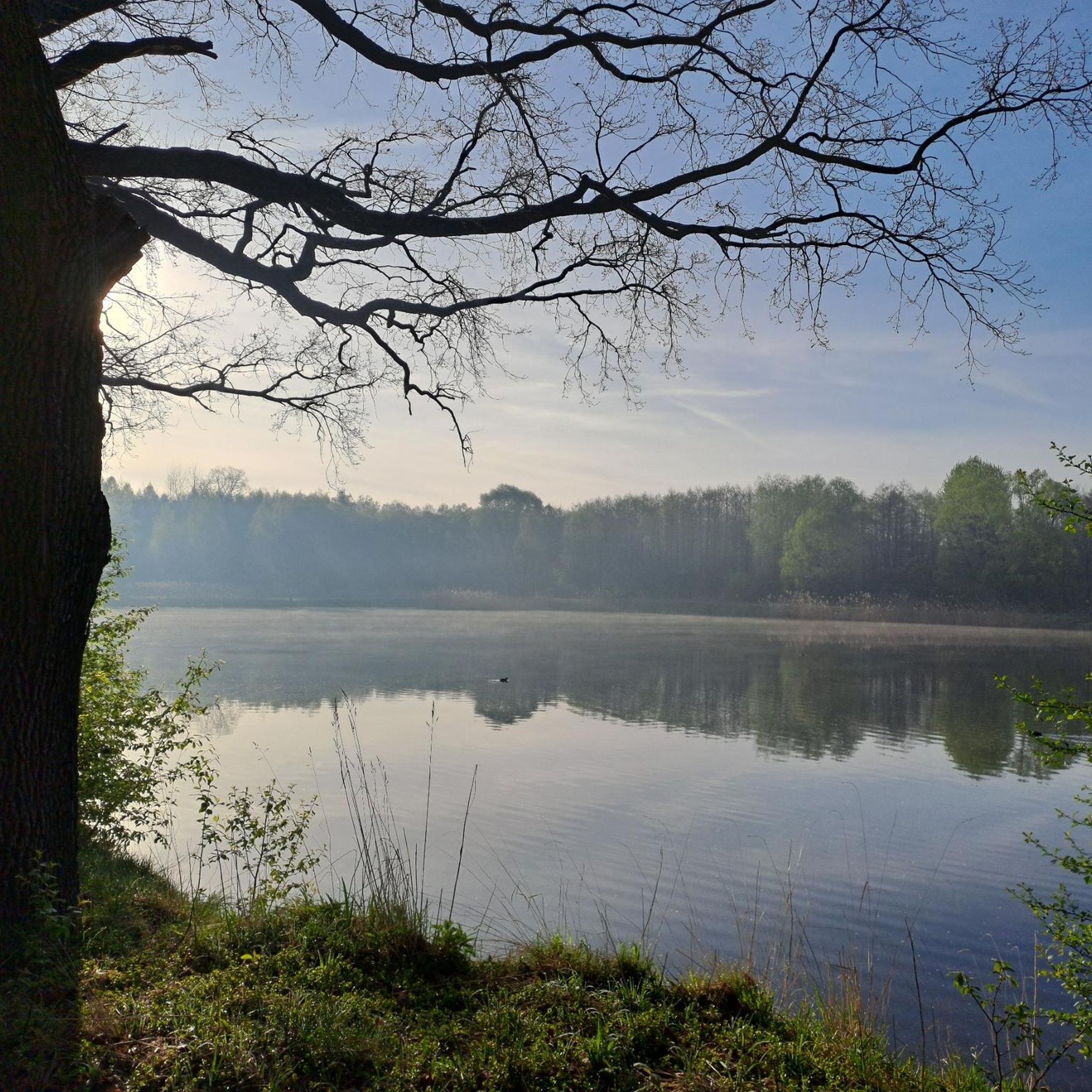
The Somme 245 km is a river in Hauts-de-France (France). The old Gallic name of the river is "Samara", meaning "the calm one". It is the river from which the Somme department derives its name.
8
0
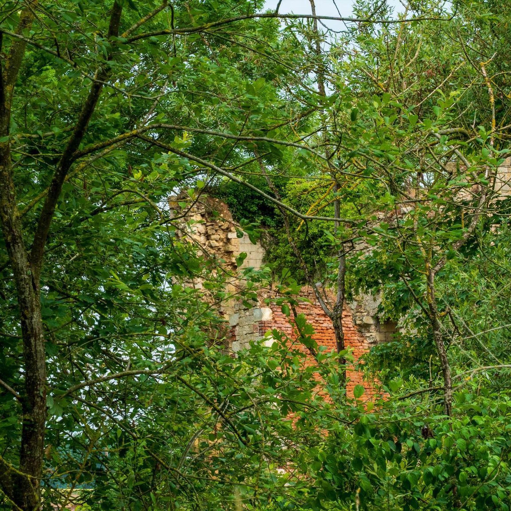
The castle served for centuries as a meeting place for the regional nobility and thinkers.
10
0
There are several locks near Frise, all with fish ladders.
15
0

There are several small locks with benches to view them well
3
0

In addition to the exceptional viewpoint, the landscape interpretation table allows you to better understand the environment that unfolds before you.
0
0

Magnificent viewpoint overlooking the Somme Valley. The climb is quite steep to get there from Péronne.
0
0
Also a bicycle repair and electric bike charging point
0
0

magnificent view
0
0
Frequently Asked Questions
How many road cycling routes are available around Villers-Carbonnel?
There are over 200 road cycling routes around Villers-Carbonnel, offering a wide variety of options for different skill levels and preferences. This includes 42 easy routes, 147 moderate routes, and 20 more challenging options.
What is the typical terrain like for road cycling in Villers-Carbonnel?
The terrain around Villers-Carbonnel is primarily flat to gently rolling, characteristic of the Somme department. You can expect generally low elevation gains and gentle gradients, making it accessible for sustained rides through open countryside and local towns.
Are there road cycling routes suitable for beginners or families in Villers-Carbonnel?
Yes, Villers-Carbonnel offers a good selection of routes suitable for beginners and families. There are 42 easy routes available, such as the Château de Suzanne – Frise Lock loop from TGV Haute-Picardie, which is 25.7 miles long and guides cyclists past historical landmarks and along waterways.
What kind of elevation gain can I expect on road cycling routes in this area?
Road cycling routes around Villers-Carbonnel generally feature low to moderate elevation gains. For example, the popular Roadbike loop from Marchélepot, a 31.4-mile route, has a total elevation gain of about 1063 feet (324 meters). Many routes are designed with gentle gradients, typical of the region.
Are there any longer distance road cycling routes available?
Yes, for those looking for longer rides, there are several options. The Château de Péronne – Péronne loop from TGV Haute-Picardie covers 32.3 miles (51.9 km) with a moderate difficulty, offering a good distance for experienced riders.
What are some scenic road cycling routes around Villers-Carbonnel?
Many routes offer scenic views of the open countryside and historical towns. The Péronne – Château de Péronne loop from Villers-Carbonnel is a scenic choice, leading through the historic town of Péronne and past its château, providing both cultural and natural beauty.
What can I see along the road cycling routes around Villers-Carbonnel?
Along the road cycling routes, you can explore various historical and natural landmarks. Notable attractions include the historic Château de Péronne, which also houses the Historial of the Great War. You might also encounter sections along the Canal du Nord or enjoy views from the Frise Viewpoint.
Are there any loop trails for road cycling in Villers-Carbonnel?
Yes, many of the road cycling routes around Villers-Carbonnel are designed as loops, offering convenient starting and ending points. Examples include the Roadbike loop from Marchélepot and the Roadbike loop from TGV Haute-Picardie, which is an easy 29.9-mile (48.0 km) route.
What is the best season for road biking in Villers-Carbonnel?
The best season for road biking in Villers-Carbonnel is generally from spring to autumn. During these months, the weather is typically mild, and the countryside is vibrant, offering pleasant conditions for exploring the region's flat to gently rolling terrain.
What do other road cyclists enjoy the most about road cycling in Villers-Carbonnel?
The area is highly rated by the komoot community, with an average score of 4.1 stars from over 15 reviews. Reviewers often praise the gentle gradients, the accessibility of routes for various skill levels, and the opportunity to explore historical towns and open countryside.
Are there challenging road bike climbs in the Villers-Carbonnel area?
The Villers-Carbonnel region is characterized by its generally flat to gently rolling terrain, typical of the Somme department. While there are no significant mountain climbs, some routes feature moderate elevation gains that can provide a good workout, such as the Roadbike loop from Marchélepot with over 1000 feet of ascent.
Most popular routes around Villers-Carbonnel
Most popular attractions around Villers-Carbonnel

Get inspired with the komoot mobile app


Explore more
Browse the best Road cycling routes in other regions.
