The best road cycling routes around Cayrols
4.2
(18)
545
riders
70
rides
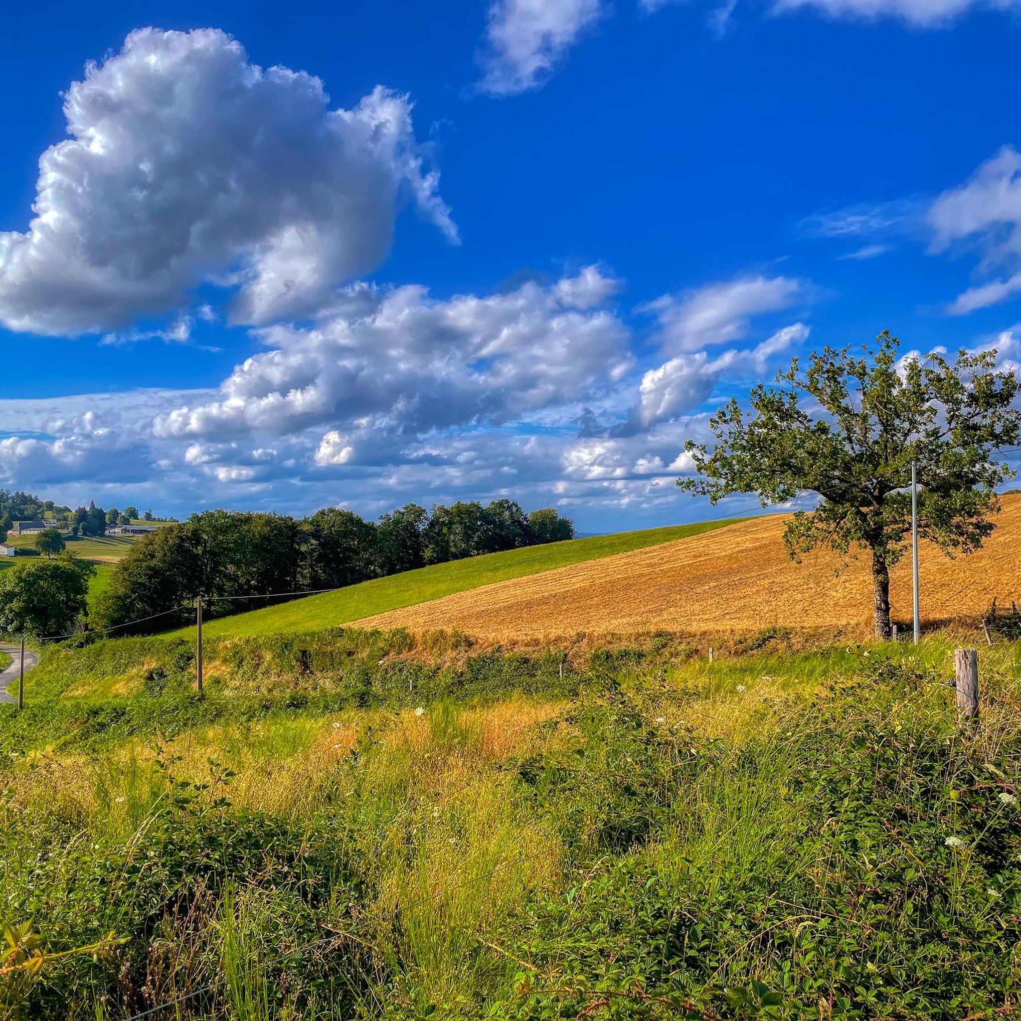
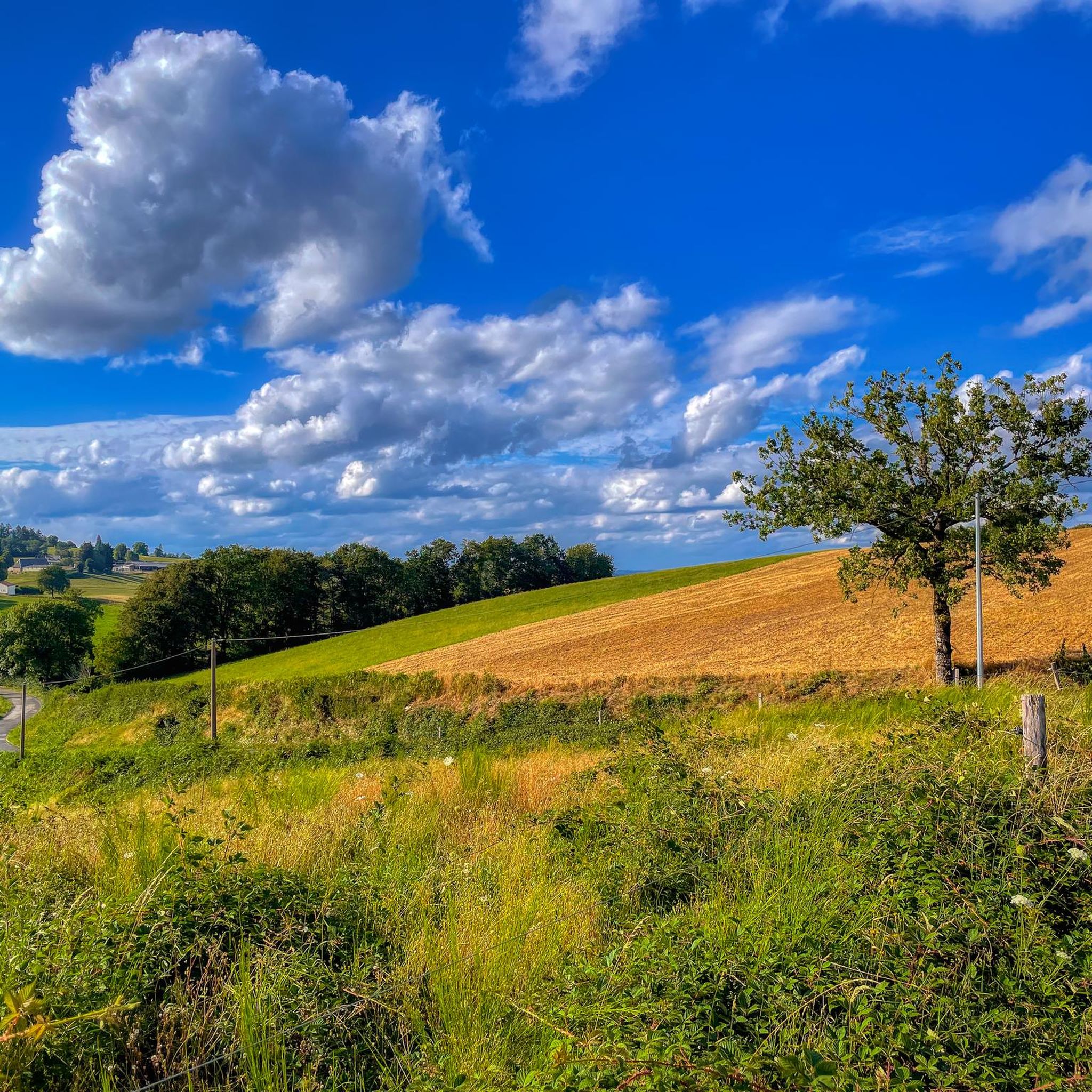
Road cycling routes around Cayrols are situated in the Cantal department of the Auvergne-Rhône-Alpes region, characterized by diverse landscapes. The area features granitic terrain, rolling countryside, and hills, providing varied elevation changes for cyclists. The region is part of the "Châtaigneraie," known for its chestnut groves, and includes the Rance valley. The broader Auvergne region offers volcanic terrain, presenting challenging options for experienced road cyclists.
Best road cycling routes around Cayrols
- The most popular road cycling route is Panorama du…
Last updated: June 29, 2026
3.3
(3)
36
riders
64.3km
03:09
840m
840m
Moderate road ride. Good fitness required. Mostly well-paved surfaces and easy to ride.
20
riders
97.5km
04:26
1,090m
1,090m
Hard road ride. Very good fitness required. Mostly well-paved surfaces and easy to ride.

Sign up for free
36
riders
77.5km
03:42
950m
950m
Hard road ride. Very good fitness required. Mostly well-paved surfaces and easy to ride.
3.5
(4)
14
riders
65.2km
03:04
820m
810m
Moderate road ride. Good fitness required. Mostly well-paved surfaces and easy to ride.
11
riders
51.8km
02:24
640m
640m
Moderate road ride. Good fitness required. Mostly well-paved surfaces and easy to ride.
Get access to more routes and recommendations from other explorers.
Sign up for free
Already have an account?
Our route recommendations are based on thousands of hikes, rides, and runs completed by other people on komoot.
Start today with a free account
Your next adventure awaits.
Login or Signup


Tips from the Community

Small town with a fantastic panorama. Church, castle, and river.
0
0

One of many beautiful views of the reservoir.
0
0
Worth seeing chapel at the crossroads
2
0


Many centuries ago, our ancestors discovered the possibility of harnessing the power of the elements - which on the one hand could be helpful and useful, but on the other hand could also be a threat as untamed forces of nature - for various purposes and thus be able to do without human or animal muscle power. Mills like these are a good example of the human engineering skills of earlier generations: the heavy millstones used to grind grain into corn or press oil, for example, could be powered by the wind or - as here - water.
0
0

Beautiful asphalt road, in the Rance valley, between Saint-Étienne-de-Maurs and Roannes-Saint-Mary. Numerous signs, intended for cyclists, announcing the difference in altitude have been installed on the shoulders. In the fall, watch out for chestnuts on the road!
0
0

Frequently Asked Questions
What kind of terrain can I expect when road cycling around Cayrols?
The road cycling routes around Cayrols feature diverse landscapes, including rolling countryside, hills, and plains. The area is characterized by granitic terrain and is part of the "Châtaigneraie," known for its chestnut groves. The broader Auvergne region also offers volcanic terrain, providing varied elevation changes for cyclists.
Are there challenging road cycling routes for experienced cyclists in Cayrols?
Yes, Cayrols offers several challenging routes for experienced road cyclists. For instance, the Figeac – Figeac Old Town loop from Le Rouget is a difficult 60.6-mile (97.5 km) trail with over 1,087 meters of elevation gain. The wider Auvergne region is known for its ascents and volcanic terrain, providing plenty of demanding options.
What natural features or landmarks can I see while road cycling near Cayrols?
You can encounter several notable features. The Moulin d'Entraygues, a historic 16th-century watermill, is along one route. You might also cycle past the Côte de l'Enseigne in the Rance valley, known for its cycling-specific signage. The region is rich in chestnut groves, offering scenic views of unspoiled beauty and poetic country lanes.
Are there any specific cycle routes or paths in the Cayrols area?
Yes, the area features notable cycling paths. The Moulin d'Entraygues – Côte de l'Enseigne loop from Le Rouget includes the well-known Côte de l'Enseigne. Additionally, the V74, also called the "Véloroute de la Châtaigneraie," offers shaded, paved uphill sections along the Rance river, providing a pleasant cycling experience.
What do other road cyclists enjoy the most about road cycling in Cayrols?
The road cycling routes around Cayrols are highly rated by the komoot community, with an average score of 4.3 stars from 27 reviews. Cyclists often praise the diverse landscapes, from rolling countryside to volcanic terrain, and the variety of routes catering to different ability levels.
Are there any circular road cycling routes starting from or near Cayrols?
Yes, many road cycling routes in the area are circular. Examples include the Panorama du Puy Saint Lauent loop from Le Rouget, a 37.8-mile (60.8 km) route, and the Moulin du Teil lake – Lake Tolerme loop from Le Rouget, which covers 32.2 miles (51.8 km).
What is the best time of year for road biking in Cayrols?
The region's diverse landscapes are enjoyable throughout much of the year. Spring and autumn generally offer pleasant temperatures and beautiful scenery, while summer can be ideal for longer rides, though some sections might be shaded, such as those along the Rance river on the Véloroute de la Châtaigneraie.
Are there any historical sites or villages to explore near the cycling routes?
Yes, the area around Cayrols is rich in history. You can explore fortified villages like Marcolès and historical towns such as Maurs. The Sainte-Anne church in Cayrols, built on a Romanesque foundation, features distinctive stained-glass windows, adding to the cultural charm.
How many road cycling routes are available around Cayrols?
There are over 70 road cycling routes available around Cayrols, offering a wide range of options for different preferences and fitness levels. These include 48 moderate routes and 28 difficult routes.
Can I find routes that pass by lakes or other water features?
Yes, some routes incorporate water features. For example, the Sousceyrac – Moulin du Teil lake loop from Le Rouget passes by Moulin du Teil lake. Additionally, the Himalayan suspension bridge at Lake Cantalès is a unique natural attraction in the wider region that can be explored.
What are the typical elevations and distances for road cycling routes in Cayrols?
Routes vary significantly in elevation and distance. Moderate routes often feature elevation gains of around 700-800 meters over distances of 35-40 miles (55-65 km). More difficult routes can exceed 1,000 meters of elevation gain over distances of 60 miles (95 km) or more, providing substantial challenges.
Most popular attractions around Cayrols

Get inspired with the komoot mobile app


Explore more
Browse the best Road cycling routes in other regions.
