The best walks and hikes around Santa-Maria-Figaniella
4.4
(659)
3,908
hikers
83
hikes
Hiking around Santa-Maria-Figaniella Corsica offers diverse landscapes, situated above the Baracci valley between forests and mountains. The region is characterized by trails traversing ridges, providing panoramic views of the Taravo and Rizzanèze valleys, extending to the Gulf of Valinco and the Gulf of Ajaccio. Many hiking routes begin in sub-forests before opening to maquis and higher elevations, with footpaths connecting to neighboring villages. This area serves as a gateway to the Alta Rocca, known for its natural beauty and historical…
Last updated: July 12, 2026
4.2
(16)
34
hikers
10.8km
03:42
540m
540m
Moderate hike. Good fitness required. Easily-accessible paths. Suitable for all skill levels.
5.0
(7)
46
hikers
18.2km
06:09
900m
900m
Hard hike. Very good fitness required. Easily-accessible paths. Suitable for all skill levels.

Sign up for free
4.8
(8)
32
hikers
11.3km
04:28
430m
430m
Hard hike. Good fitness required. Sure-footedness, sturdy shoes and alpine experience required.
4.5
(8)
28
hikers
4.04km
01:12
120m
120m
Easy hike. Great for any fitness level. Easily-accessible paths. Suitable for all skill levels.
4.8
(4)
15
hikers
15.0km
04:34
490m
490m
Moderate hike. Good fitness required. Easily-accessible paths. Suitable for all skill levels.
Get access to more routes and recommendations from other explorers.
Sign up for free
Already have an account?
Our route recommendations are based on thousands of hikes, rides, and runs completed by other people on komoot.
Start today with a free account
Your next adventure awaits.
Login or Signup
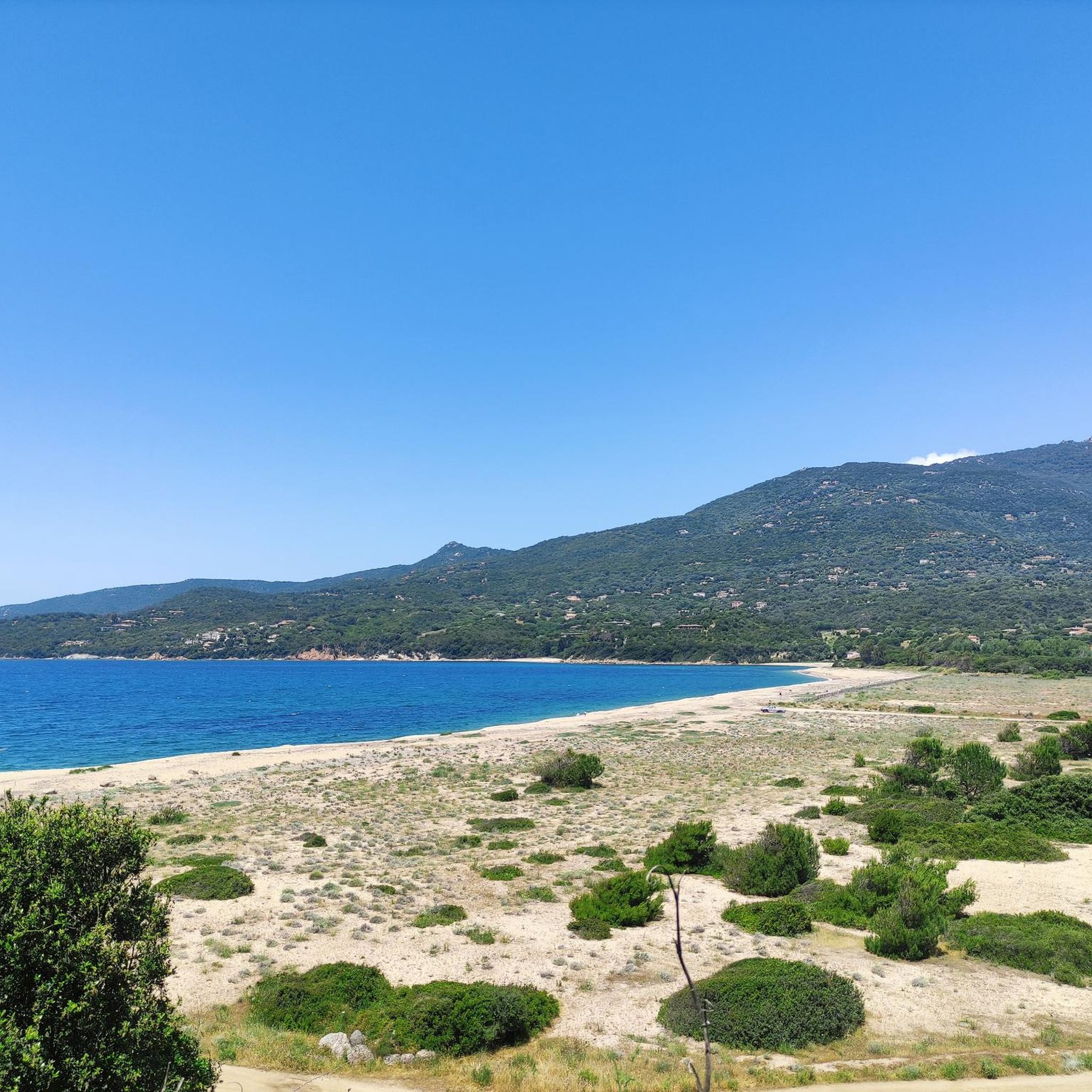
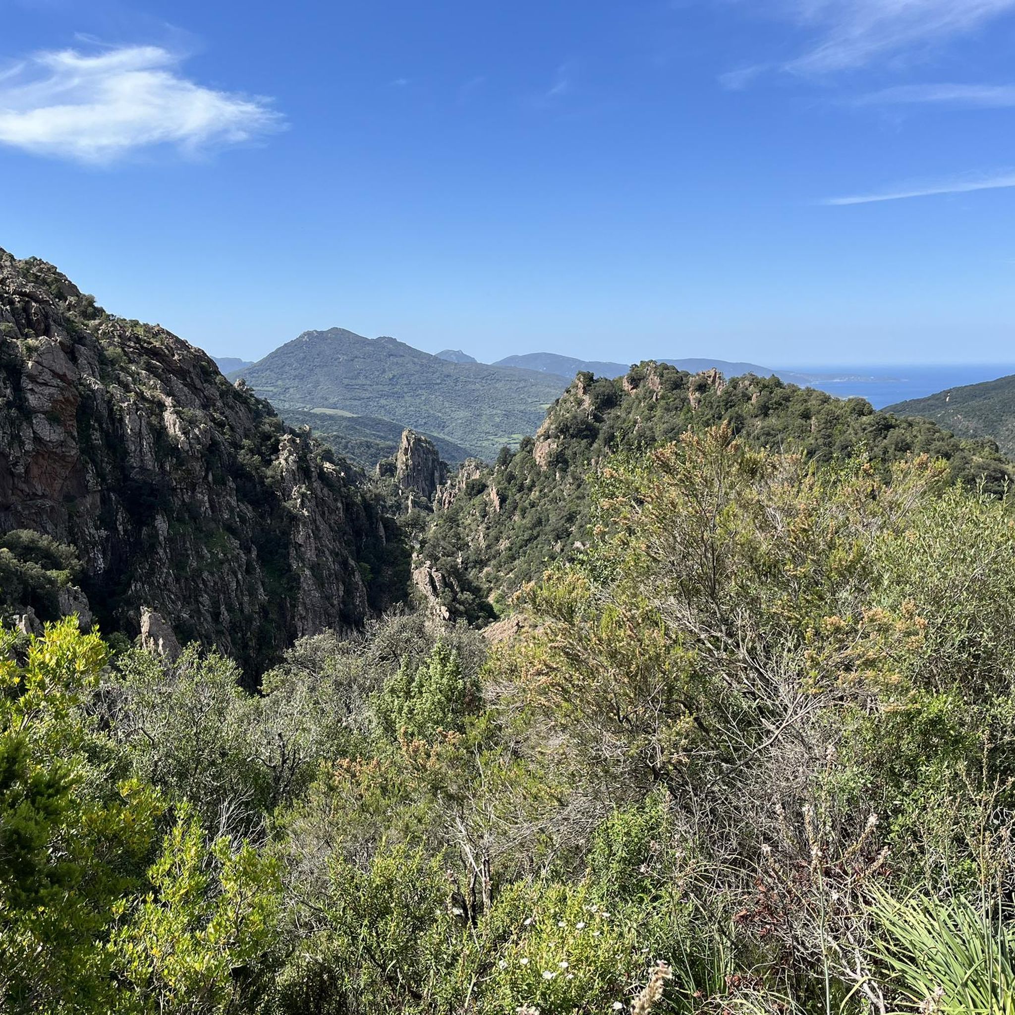
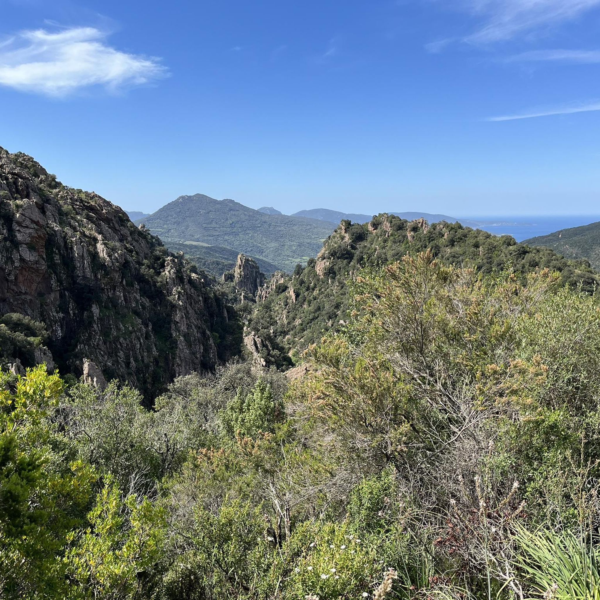
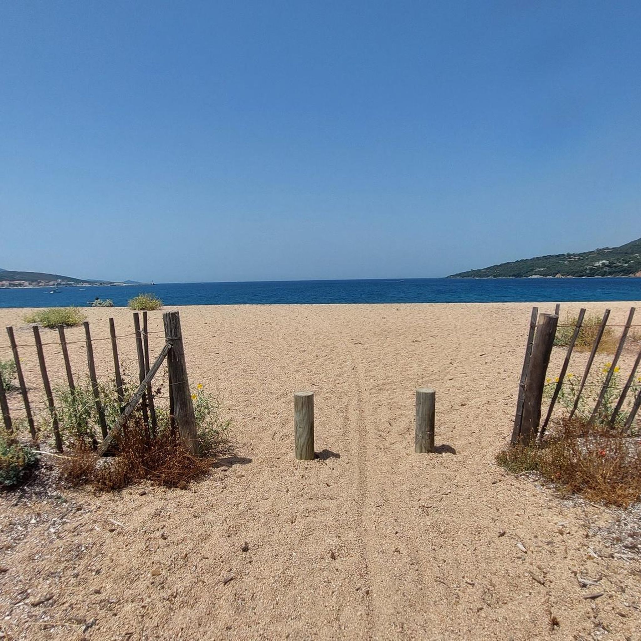
Tips from the Community

Beautiful views in a beautiful area.
0
0


two of the oldest houses on the island
0
0

Fozzano is a pretty, characterful village located in southern Corsica. Its fortified houses, dating from the Middle Ages, notably inspired Prosper Mérimée's novella "Colomba." Perched in the Tavaria Valley, Fozzano offers unobstructed views of the Baracci Valley and the Gulf of Valinco.
1
0
U Fracintu is a pretty little hotel attached to the town of Fozzano. It has a terrace which offers sea and countryside views towards Capinielu Bay.
0
0

The path opens onto the bay of Propriano which is several meters below. In clear weather, it is also possible to distinguish the needles of Bavella.
1
0

These large olive trees are still harvested and the oil extracted from them is very famous.
0
0
Frequently Asked Questions
How many hiking trails are available around Santa-Maria-Figaniella?
There are over 70 hiking routes around Santa-Maria-Figaniella, offering a wide range of experiences. These include 30 easy, 35 moderate, and 13 difficult trails, ensuring options for all skill levels.
What kind of terrain can I expect on hikes in Santa-Maria-Figaniella?
The terrain around Santa-Maria-Figaniella is very diverse, characterized by its position above the Baracci valley, nestled between forests and mountains. You'll find trails traversing ridges with panoramic views of the Taravo and Rizzanèze valleys, extending to the Gulf of Valinco and the Gulf of Ajaccio. Many routes begin in pleasant sub-forests before opening up to fragrant maquis and higher elevations.
What do other hikers say about the trails in Santa-Maria-Figaniella?
The routes in Santa-Maria-Figaniella are highly rated by the komoot community, with an average score of 4.4 stars from over 500 reviews. Hikers often praise the diverse landscapes, the stunning panoramic views, and the rich natural and historical features found along the trails.
What is the best time of year to go hiking in Santa-Maria-Figaniella?
Spring is an excellent time for hiking in Santa-Maria-Figaniella, as the maquis offers exquisite fragrances and the weather is generally mild. The region's diverse landscapes are enjoyable throughout much of the year, but spring provides a particularly vibrant experience.
Are there hiking options for beginners or those looking for an easy walk?
Yes, Santa-Maria-Figaniella offers 30 easy hiking routes suitable for beginners or those seeking a relaxed walk. These trails often lead through sub-forests and charming villages, providing a gentle introduction to the region's beauty.
Are there any challenging long-distance hikes in the area?
For experienced hikers, the region offers challenging long-distance options. Santa-Maria-Figaniella is located at the gates of the Alta Rocca, which features scenic long-distance hikes like the Mare a Mare Sud. This trail provides extensive views of both the island's shorelines and the Alta Rocca mountain range. One difficult route is the Rizzanese River – Fozzano loop from Fenaggio, covering 15.5 miles (24.9 km).
Are there any historical sites or landmarks I can visit while hiking?
Absolutely. The region is rich in history. You can visit the significant archaeological site of Castellu di Cucuruzzu, a Bronze Age protohistoric village accessible via a landscaped path. The Santa Maria Romanesque Church, a declared Historic Monument, is also a cultural highlight with superb Romanesque sculptures. The town of Sartène, known as 'the most Corsican town in Corsica,' is also nearby and worth exploring.
Can I find hikes with panoramic views in Santa-Maria-Figaniella?
Yes, many trails in Santa-Maria-Figaniella offer spectacular panoramic views. Hikes to Monte San Petru, often starting from the Col de Saint-Eustache, provide magnificent vistas stretching from the Gulf of Valinco to the Gulf of Ajaccio, and even the dramatic Aiguilles de Bavella. The region's trails frequently traverse ridges specifically for these rewarding views.
Are there any circular hiking routes available?
Yes, many routes in the area are circular, allowing you to start and end at the same point. An example is the Saint Francis Convent – Sainte-Lucie-de-Tallano loop from Sainte-Lucie-de-Tallano, a moderate 7.5-mile (12.0 km) trail. Another is the Vera shelter-refuge – View of Martini loop from Les Martini, which is 6.7 miles (10.8 km).
Are there family-friendly hiking options in Santa-Maria-Figaniella?
While specific 'family-friendly' routes are not highlighted, the 30 easy trails available in the region are generally suitable for families. These walks often pass through sub-forests and offer gentle terrain, making them enjoyable for all ages. Look for routes with shorter distances and minimal elevation gain.
Is it possible to hike with dogs in Santa-Maria-Figaniella?
Many trails in the Santa-Maria-Figaniella region are suitable for hiking with dogs, especially those that traverse forests and open maquis. However, it's always advisable to keep dogs on a leash, particularly in areas with livestock or protected wildlife, and to check local regulations for specific trails or natural parks.
Where can I find parking for hiking trails in Santa-Maria-Figaniella?
Many hiking routes in the Santa-Maria-Figaniella area, especially those starting from villages or popular viewpoints, typically offer designated parking areas. For example, hikes to Monte San Petru often start from the Col de Saint-Eustache, which would have parking facilities. It's recommended to check the starting point details of your chosen route for specific parking information.
Most popular routes around Santa-Maria-Figaniella
Most popular attractions around Santa-Maria-Figaniella

Get inspired with the komoot mobile app


Explore more
Browse the best Hikes in other regions.
