The best running trails around Frankenheim/Rhön
4.6
(206)
2,146
runners
201
runs
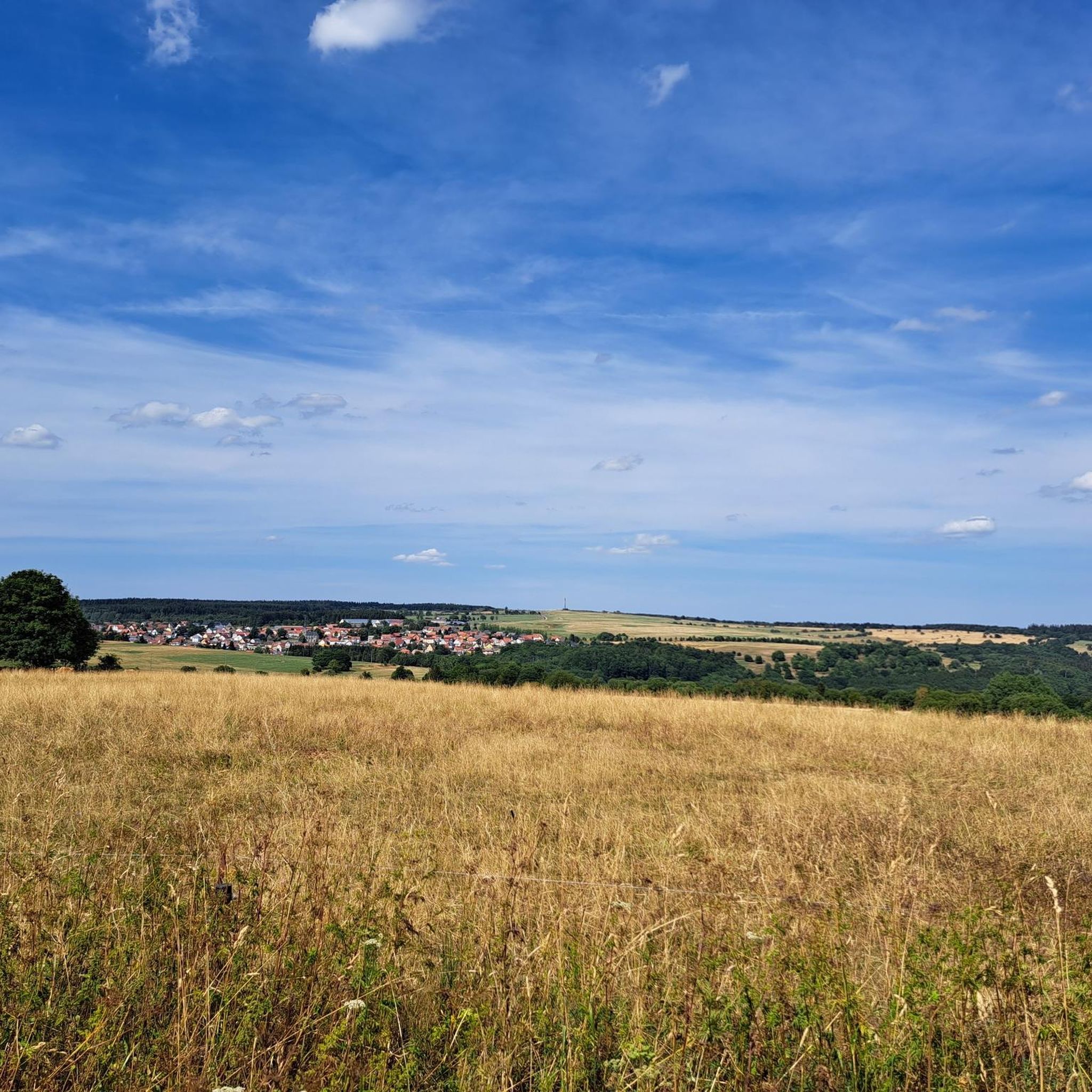
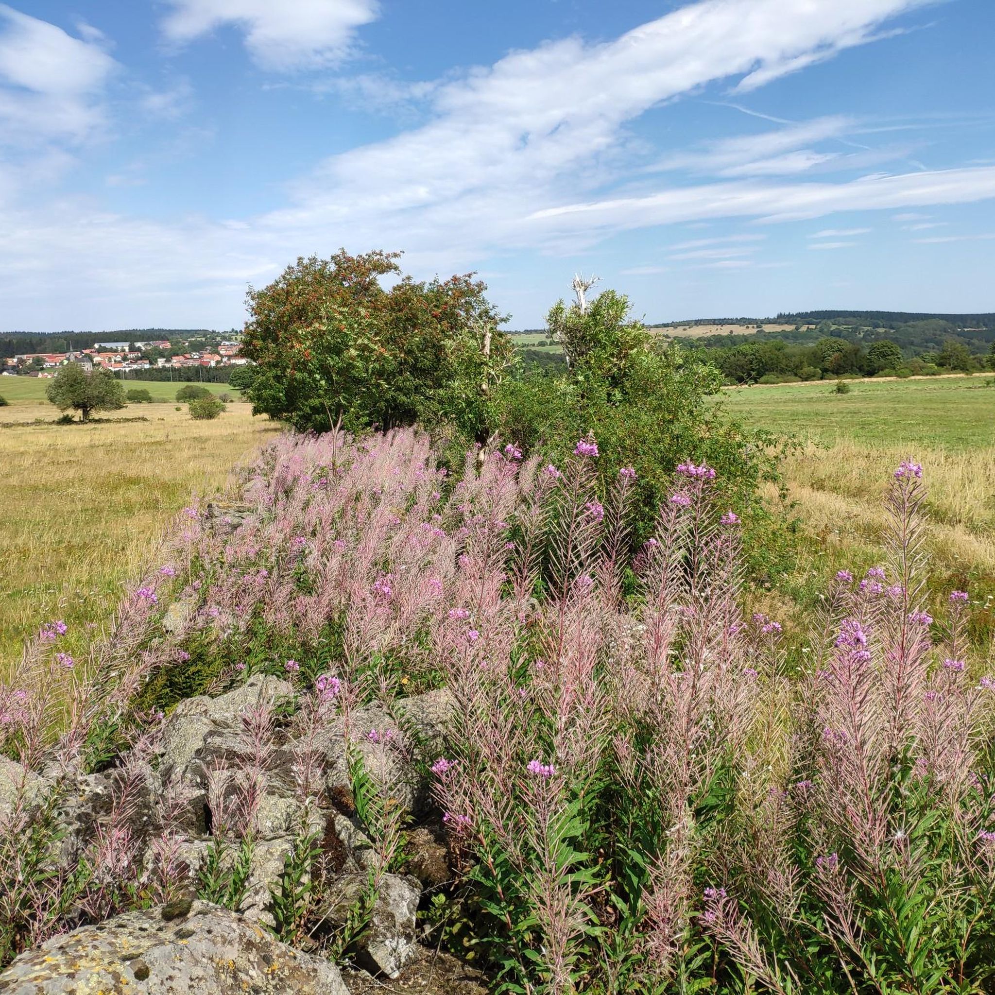
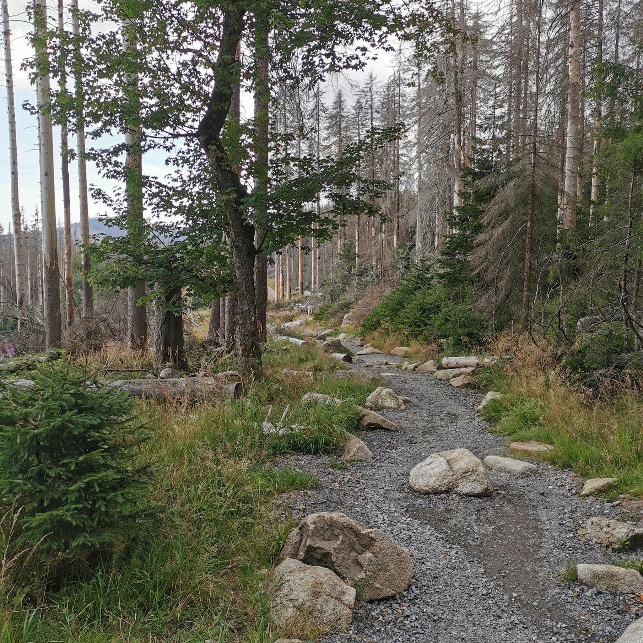
Jogging around Frankenheim/Rhön offers diverse landscapes within the Rhön region, characterized by its "Land of Open Distances" with wide views from treeless heights. Frankenheim, situated at 750 meters above sea level, is the highest municipality in the Thuringian Rhön. The area features a varied terrain including dark spruce forests, light deciduous forests, high moors like the Schwarzes Moor, and expansive mountain meadows, providing a range of running environments. Gentle hills, green meadows, and clear rivers define the broader Rhön landscape,…
Last updated: July 1, 2026
4.5
(4)
23
runners
10.5km
01:15
150m
150m
Moderate run. Good fitness required. Mostly paved surfaces. Suitable for all skill levels.
4.0
(1)
20
runners
13.2km
01:35
150m
150m
Moderate run. Good fitness required. Mostly paved surfaces. Suitable for all skill levels.

Sign up for free
5.0
(1)
10
runners
14.0km
01:32
150m
150m
Moderate run. Good fitness required. Mostly paved surfaces. Suitable for all skill levels.
5.0
(1)
8
runners
Moderate run. Good fitness required. Mostly paved surfaces. Suitable for all skill levels.
5.0
(2)
11
runners
15.7km
01:44
110m
110m
Hard run. Very good fitness required. Mostly paved surfaces. Suitable for all skill levels.
Get access to more routes and recommendations from other explorers.
Sign up for free
Already have an account?
Our route recommendations are based on thousands of hikes, rides, and runs completed by other people on komoot.
Start today with a free account
Your next adventure awaits.
Login or Signup
Popular around Frankenheim/Rhön





Tips from the Community

This is one of the few waterfalls in the Rhön, and it is not in the forest.
0
1

The place is worth seeing.
0
1

A trip to the Silver Lake is always nice
0
2

Nice seating at the Eisgraben.
8
0

The bridge itself is unspectacular, but it allows you to cross the Aschelbach stream just before it flows down the small Eisgraben waterfall.
3
0

Beautiful, picturesque spot over the small stream very close to the Eisgraben waterfall.
4
0

Unfortunately, the observation tower on the Black Moor is closed until further notice due to maintenance and repair work. As soon as it opens again, you will be informed here and on the homepage of the Bavarian Rhön Nature Park & Biosphere Reserve www.biosphaerenreservat-rhoen.de.
5
0

Currently still closed for renovations
16
0
Frequently Asked Questions
What kind of terrain can I expect on the running routes around Frankenheim/Rhön?
The Frankenheim/Rhön region, known as the "Land of Open Distances," offers a diverse landscape for runners. You'll find a mix of dark spruce forests, light deciduous forests, mysterious high moors like the Schwarzes Moor Nature Trail, and expansive mountain meadows. The broader Rhön landscape features gentle hills, green meadows, and clear rivers, providing varied and scenic running environments.
Are there running routes suitable for beginners or those looking for an easier jog?
Yes, while the area offers routes with significant elevation gains, there are also easier paths available. Out of over 200 running routes in the region, 16 are classified as easy, making them ideal for beginners or a more relaxed run. Many trails are well-signposted and suitable for various fitness levels.
Can I find routes with scenic viewpoints or natural attractions in Frankenheim/Rhön?
Absolutely. The region is rich in natural beauty and offers breathtaking wide views from its treeless heights. You can explore routes that pass by the scenic Eisgraben Waterfall or the distinctive Schwarzes Moor Nature Trail. Another route, View of Wasserkuppe – Schornhecke Rest Area loop from Birx, offers stunning views of the Wasserkuppe, the highest mountain in the Rhön.
Are there any circular running trails available in the Frankenheim/Rhön area?
Many of the running routes around Frankenheim/Rhön are designed as loops, offering convenient circular trails. For example, the Western Rhön Forest Path – Basalt Block Field loop from Frankenheim/Rhön is a moderate 14 km circular route that allows you to start and finish in the same location.
What are some notable landmarks or points of interest I might encounter on a run?
Beyond the natural beauty, you might encounter several interesting landmarks. The Boardwalk Trail Through the Rotes Moor offers a unique experience, and the Wasserkuppe aviation memorial is a significant site. The Grabenberg Border Tower, a former watchtower, also provides historical context and views towards the Wasserkuppe.
Are the running routes in Frankenheim/Rhön suitable for families?
Yes, the region offers a variety of trails, some of which are easy and family-friendly. The well-signposted hiking trails often cater to different activity levels, making it possible to find routes suitable for a family jog or walk. The Boardwalk Trail Through the Rotes Moor, for instance, is suitable for various visitors.
Can I bring my dog on the running trails in Frankenheim/Rhön?
While specific regulations for dogs on every trail are not detailed, the Rhön region is generally dog-friendly, especially on its numerous hiking and running paths. It's always advisable to keep dogs on a leash, particularly in nature reserves like the moors, and to respect local signage regarding protected areas.
What is the best time of year to go running in Frankenheim/Rhön?
Frankenheim/Rhön is situated at 750 meters above sea level, offering a climate favorable for outdoor activities. While beautiful year-round, spring and autumn provide pleasant temperatures and stunning scenery with blooming meadows or vibrant fall foliage. Even in winter, areas like the Ellenbogen mountain transform into a ski and sledding park, suggesting that some trails may be accessible, though conditions will vary.
How challenging are the running routes in Frankenheim/Rhön?
The routes vary in difficulty. While there are 16 easy routes, the majority (139) are classified as moderate, and 50 are considered difficult. This means you can find everything from gentle jogs through meadows to more challenging runs with significant elevation gains, such as the View of Wasserkuppe – Schornhecke Rest Area loop from Birx, which features over 220 meters of elevation gain.
What do other runners enjoy most about jogging in Frankenheim/Rhön?
The running routes in Frankenheim/Rhön are highly rated by the komoot community, with an average score of 4.6 stars from over 190 reviews. Runners often praise the diverse landscapes, including high moors, spruce forests, and mountain meadows, as well as the wide, open views. The variety of terrain, from easy paths to challenging routes, is also frequently highlighted.
Are there options for longer distance running in the Frankenheim/Rhön area?
Yes, the region offers several longer routes for those seeking a more extensive run. For example, the View of Wasserkuppe – Schornhecke Rest Area loop from Birx is a challenging 17.1 km trail, and the Western Rhön Forest Path – Basalt Block Field loop from Frankenheim/Rhön covers nearly 14 km, providing ample distance for endurance training.
How accessible are the running routes by public transport or car parking?
While specific public transport links to every trailhead are not detailed, the region is well-equipped for visitors. Many routes, like those starting from Birx or Frankenheim/Rhön, are typically accessible by car, with parking often available near popular starting points. The well-signposted nature of the trails also aids in navigation once you arrive.
Most popular routes around Frankenheim/Rhön
Most popular attractions around Frankenheim/Rhön

Get inspired with the komoot mobile app


Explore more
Browse the best Running Trails & Routes in other regions.
