The best walks and hikes around Brouzet-Lès-Alès
4.4
(734)
3,557
hikers
16
hikes
Hiking around Brouzet-Lès-Alès offers trails through a landscape characterized by the prominent Mont Bouquet and historical ruins. The terrain often includes varied elevations, leading to panoramic views over the surrounding area. This region provides a mix of natural features and cultural landmarks for hikers to explore.
Best hiking trails around Brouzet-Lès-Alès
- The most popular hiking route is Mont Bouquet lookout tower – Castellas Castle Ruins loop from Brouzet-lès-Alès, a 7.9 miles (12.8 km) trail that takes 3 hours 51…
Last updated: July 8, 2026
5.0
(1)
17
hikers
13.2km
03:59
420m
430m
Moderate hike. Good fitness required. Easily-accessible paths. Suitable for all skill levels.
26
hikers
Moderate hike. Good fitness required. Easily-accessible paths. Suitable for all skill levels.

Sign up for free
5.0
(1)
6
hikers
10.4km
03:14
410m
410m
Moderate hike. Good fitness required. Easily-accessible paths. Suitable for all skill levels.
4.8
(4)
29
hikers
11.0km
03:23
410m
410m
Moderate hike. Good fitness required. Easily-accessible paths. Suitable for all skill levels.
5.0
(1)
4
hikers
8.61km
02:43
350m
350m
Moderate hike. Good fitness required. Easily-accessible paths. Suitable for all skill levels.
Get access to more routes and recommendations from other explorers.
Sign up for free
Already have an account?
Our route recommendations are based on thousands of hikes, rides, and runs completed by other people on komoot.
Start today with a free account
Your next adventure awaits.
Login or Signup
Tips from the Community

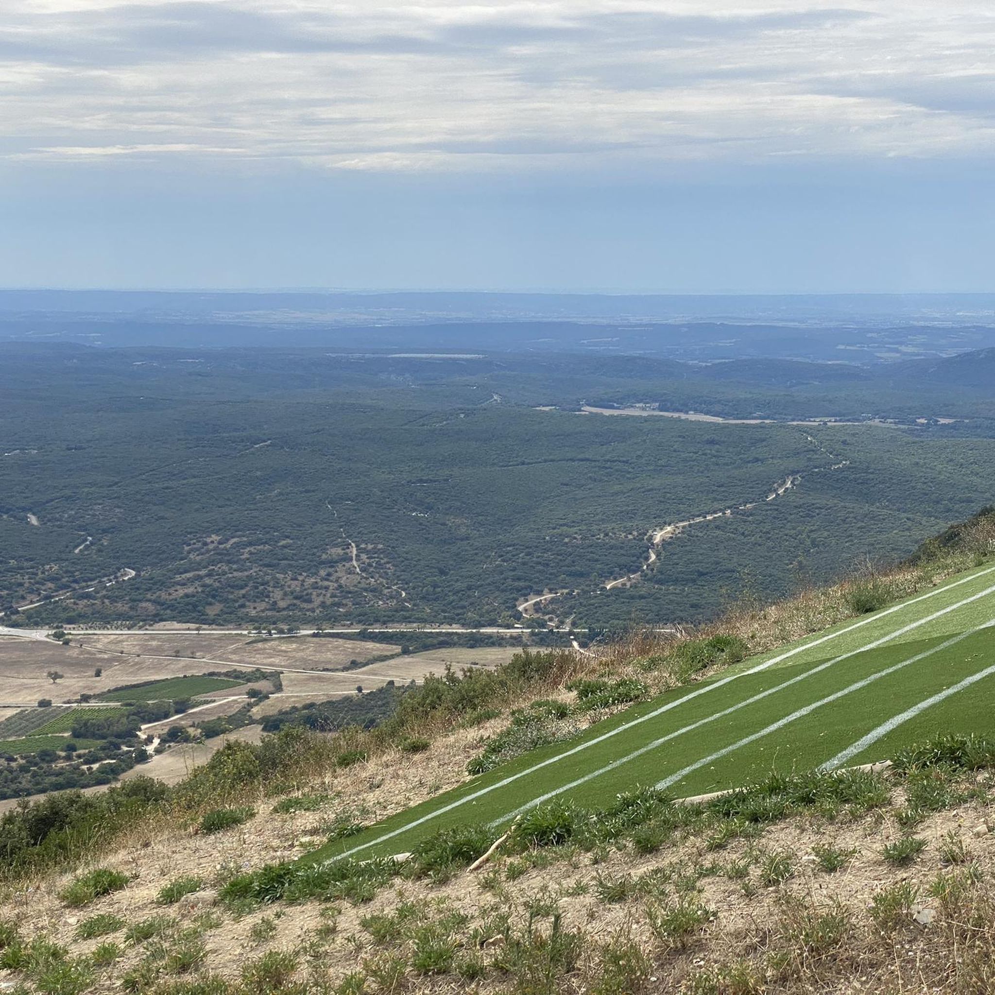
Starting point: the parking lot for some hikes, paragliding, etc... Beautiful view!
0
0
Mount Bouquet offers a beautiful view of the surrounding area! It's also a launch site for paragliders and the starting point for some great hikes.
0
0
An unusual cave because of its entrance. It's not particularly interesting, but I had to check it out. A few inconspicuous concretions and the roots of the surrounding vegetation are part of the scenery. It's home to a few bats and spiders, so please don't disturb them.
0
0

Training is required before attempting it! The gradient is significant, but what a pleasure when you reach the top!!!
0
0

Very nice site, accessible by gravel or mountain bike from the Bouquet road and from the Bourricot pass, it is located in a Natura 2000 zone. Presence of several picnic tables with beautiful panoramas in all directions.
0
0


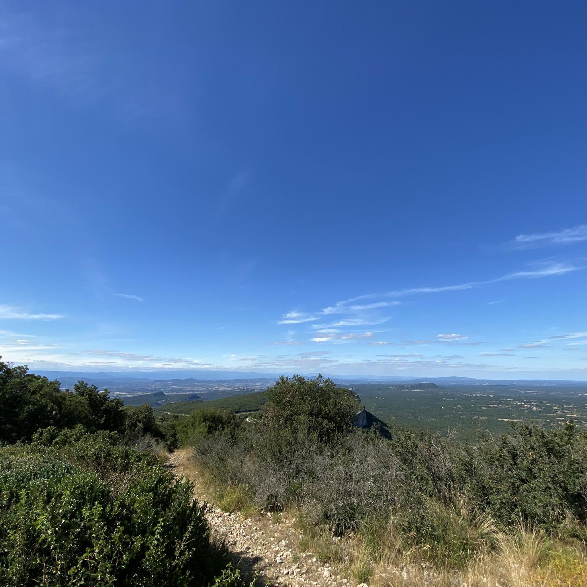
Mont Bouquet offers, at an altitude of 629m, a magnificent view of the plain with the Rhône valley and Ventoux in sight.
0
0
Frequently Asked Questions
How many hiking trails are available around Brouzet-Lès-Alès?
There are over a dozen hiking routes documented on komoot for the Brouzet-Lès-Alès area. These trails range from easy strolls to more challenging moderate hikes, offering diverse experiences through the local landscape.
Are there any easy or family-friendly hikes in Brouzet-Lès-Alès?
Yes, Brouzet-Lès-Alès offers several easy routes suitable for families or those seeking a relaxed walk. An example is the Mount Bouquet loop from Seynes, which is 4.5 km long and takes about 1 hour 22 minutes to complete, offering gentle terrain through the foothills of Mont Bouquet.
What kind of terrain can I expect on hikes around Brouzet-Lès-Alès?
The terrain around Brouzet-Lès-Alès is characterized by varied elevations, including hilly sections, especially around Mont Bouquet. You'll encounter a mix of natural paths, forest tracks, and sometimes rocky sections, leading to panoramic viewpoints and historical sites.
Are there any circular walks available in the area?
Many of the hiking routes around Brouzet-Lès-Alès are designed as circular walks, allowing you to start and end at the same point without retracing your steps. For instance, the Mount Bouquet – Mont Bouquet lookout tower loop from Brouzet-lès-Alès is a moderate 10.4 km loop offering great views.
What historical sites or landmarks can I see while hiking?
The region is rich in history. You can explore the Castellas de Bouquet Ruins, which are often incorporated into hiking routes, offering a glimpse into the past. The prominent Mount Bouquet itself is a significant landmark with a lookout tower providing extensive views.
Are there any waterfalls or wild swimming spots near the hiking trails?
Yes, for those interested in natural water features, the Grandes Aiguières Waterfalls and Pools are a notable attraction in the vicinity. You can also find the Little Aiguières, a gorge that adds to the natural beauty of the area.
What do other hikers enjoy most about hiking in Brouzet-Lès-Alès?
The area is highly rated by the komoot community, with an average score of 4.4 stars from over 600 reviews. Reviewers often praise the diverse landscape, the rewarding panoramic views from Mont Bouquet, and the opportunity to combine natural exploration with historical sites like the Castellas ruins.
Are dogs allowed on the hiking trails in Brouzet-Lès-Alès?
Generally, dogs are welcome on most hiking trails in the Brouzet-Lès-Alès region, provided they are kept on a leash and owners adhere to local regulations regarding waste disposal. It's always advisable to check specific trail signage for any restrictions, especially in protected natural areas.
What is the best time of year to go hiking in Brouzet-Lès-Alès?
The spring (April to June) and autumn (September to October) months are generally ideal for hiking in Brouzet-Lès-Alès. During these periods, the weather is typically mild and pleasant, with comfortable temperatures and less intense sun than in summer. Summer can be very hot, making early morning or late afternoon hikes preferable.
Are there challenging hikes for experienced hikers?
While there are no trails classified as 'difficult' in the immediate Brouzet-Lès-Alès area, the moderate routes offer a good challenge with significant elevation gains and longer distances. For example, the Mount Bouquet loop from Brouzet-lès-Alès covers nearly 11 km with over 400 meters of ascent, providing a substantial workout.
Is parking available at the trailheads?
Parking is generally available at or near the starting points of most popular hiking routes in Brouzet-Lès-Alès and surrounding villages. Specific parking information can often be found on individual route descriptions on komoot, or by checking local signage upon arrival.
What should I wear or bring for a hike in this region?
Given the varied terrain and potential for elevation changes, sturdy hiking shoes are recommended. Layers of clothing are advisable to adapt to changing temperatures, and sun protection (hat, sunscreen) is essential, especially during sunnier months. Always carry sufficient water, a map or GPS device, and snacks.
Most popular routes around Brouzet-Lès-Alès
Most popular attractions around Brouzet-Lès-Alès

Get inspired with the komoot mobile app


Explore more
Browse the best Hikes in other regions.
