The best running trails around Ménil-Erreux
4.7
(19)
2,604
runners
118
runs
Jogging around Ménil-Erreux offers a diverse landscape characterized by significant elevation changes, with routes featuring substantial climbs and descents. The region includes extensive forested areas, such as the Écouves Forest, and paths around water bodies like the Étang de Radon. These trails provide a mix of challenging terrain suitable for experienced runners seeking varied surfaces and longer distances. The area's rolling hills and valleys contribute to its varied terrain, making it an ideal setting for outdoor activities.
Best jogging routes…
Last updated: July 5, 2026
137
runners
11.6km
01:31
310m
310m
Hard run. Very good fitness required. Mostly accessible paths. Some sure footedness required.
80
runners
29.3km
03:49
660m
660m
Hard run. Very good fitness required. Sure-footedness, sturdy shoes and alpine experience required.

Sign up for free
56
runners
33.4km
04:20
810m
810m
Hard run. Very good fitness required. Sure-footedness, sturdy shoes and alpine experience required.
3.0
(1)
20
runners
15.6km
02:03
420m
420m
Hard run. Very good fitness required. Mostly accessible paths. Some sure footedness required.
5
runners
8.24km
00:51
60m
60m
Moderate run. Good fitness required. Mostly paved surfaces. Suitable for all skill levels.
Get access to more routes and recommendations from other explorers.
Sign up for free
Already have an account?
Our route recommendations are based on thousands of hikes, rides, and runs completed by other people on komoot.
Start today with a free account
Your next adventure awaits.
Login or Signup


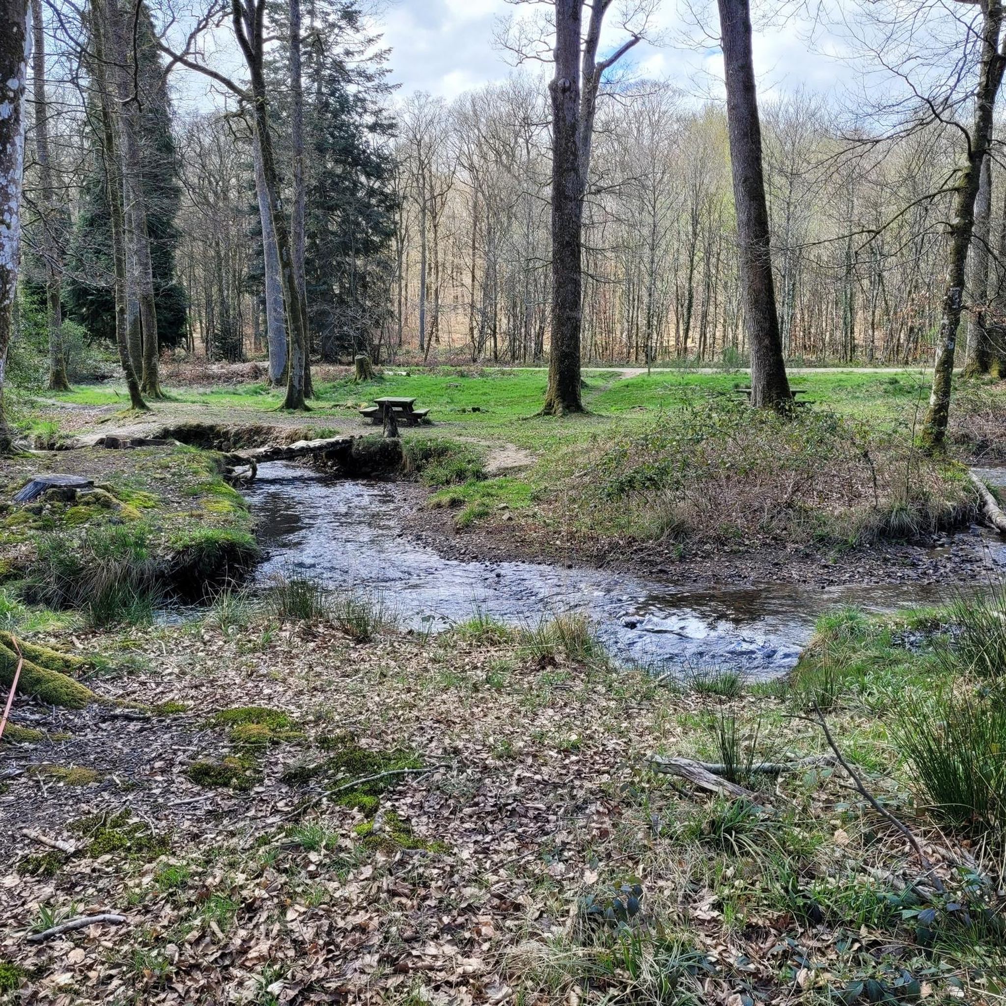
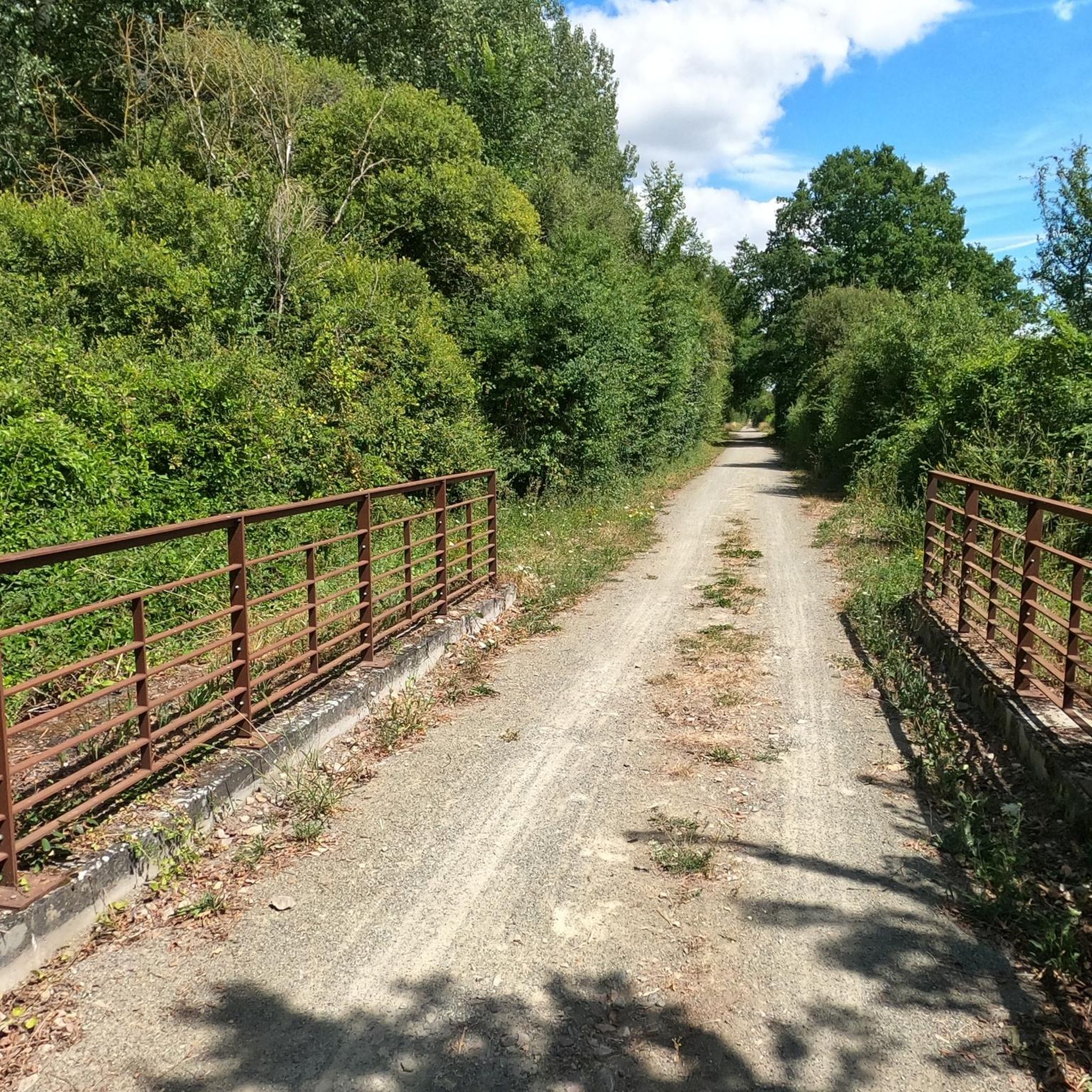
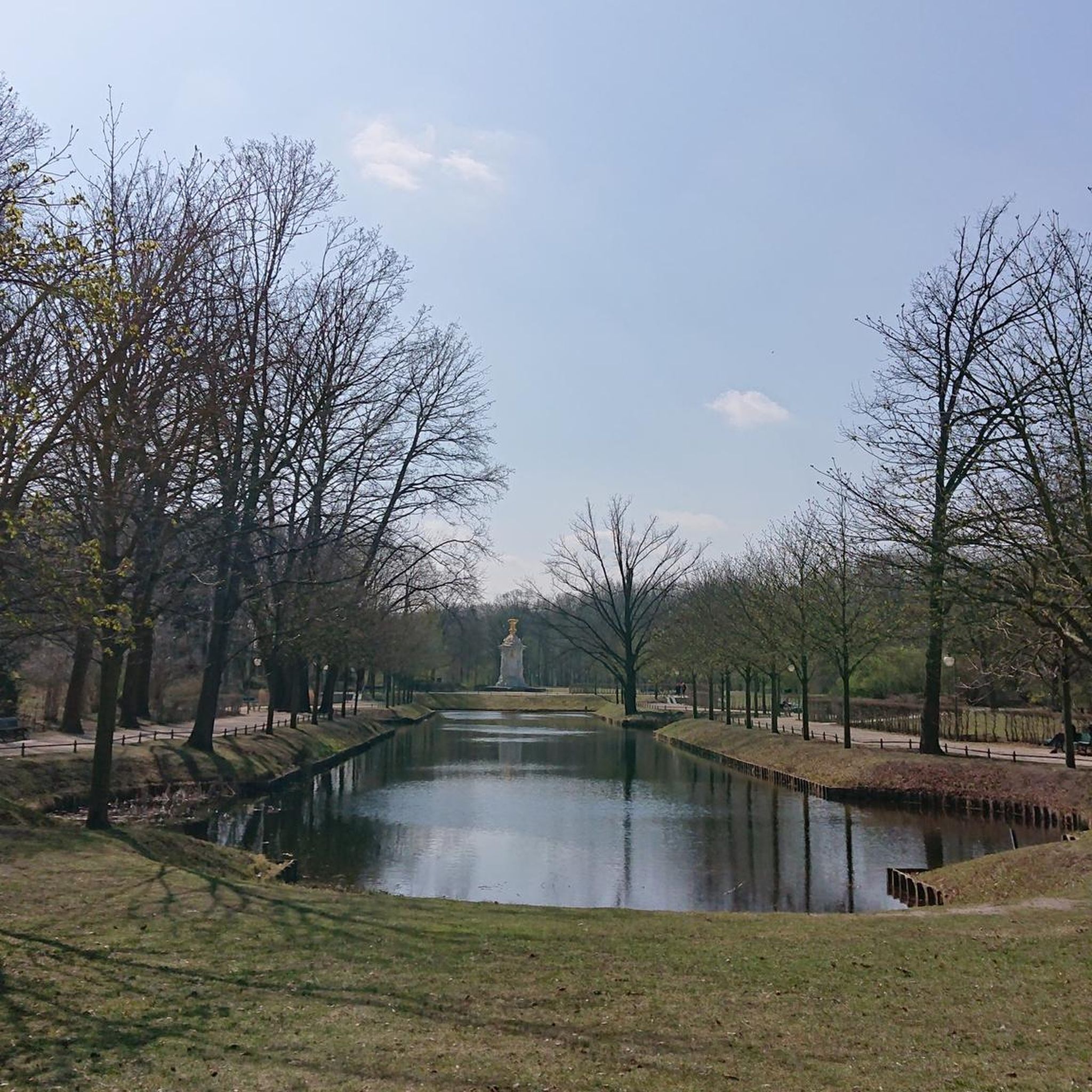
Tips from the Community

2 perforations visible on the 12th photo of the Sherman M4A2 "Valois"
0
0

The Écouves national forest is located in the Normandy-Maine Regional Natural Park. It is home to abundant game, sessile oaks, beeches and Scots pines, over 15,000 hectares. Its highest point is the Écouves signal, which rises to an altitude of 413 meters. It is the highest peak in Normandy.
1
0

If you are looking for a unique destination in Normandy, you should stop to see the Sherman tank in La Ferrière-Béchet. This is an American tank from World War II that was abandoned in the Ecouves forest after being hit by a German shell in August 1944. The tank is today covered in moss and vegetation, creating a striking contrast with its metal structure.
2
0

The Rochers du Vignage belong to a rocky ridge of Grès de May culminating at 346m
0
0
The signal d'Écouves, at an altitude of 413 m, is the highest point in Normandy and the second highest peak in the Armorican Massif. Source: Wikipedia
2
0

The Signal d'Ecouves is the highest point in the forest of Ecouves. Difficult to access, it clearly shows the difficulty of mountain biking in this environment.
1
0
The Rocher du Vignage, located along a course of the Radon trail, offers us a very pleasant view of the Ecouves forest
1
0

This Sherman tank was part of the 2nd armored division of General Leclerc.It belonged to the Roumianzoff detachment that had just liberated Alençon ... It was destroyed at a place called "Gateys" by an anti tank gun of the 9th Panzerdivision was hidden in the Ecouves forest ....
7
0
Frequently Asked Questions
How many running routes are available around Ménil-Erreux?
There are over 100 dedicated running routes in the Ménil-Erreux region, offering a wide variety of distances and difficulty levels for all types of runners.
Are there any easy or beginner-friendly jogging routes in Ménil-Erreux?
While many routes in Ménil-Erreux feature significant elevation changes, there are still options suitable for beginners. Out of the 102 routes, 7 are classified as easy, providing a gentler introduction to the region's trails. Look for routes with minimal elevation gain.
Can I find circular running routes in the area?
Yes, many of the running routes around Ménil-Erreux are circular, allowing you to start and finish at the same point. For example, the Étang de Radon loop from Écouves is a popular circular option, offering scenic views around the lake.
What kind of scenery can I expect on the jogging trails?
The routes in Ménil-Erreux are known for their diverse scenery, including extensive forested areas and paths around water bodies like the Étang de Radon. You'll encounter significant hilly terrain, offering varied landscapes throughout your run.
Are there any interesting landmarks or attractions along the running paths?
Yes, some routes pass by historical points of interest and natural features. For instance, the Vignage Rocks – Sherman tank loop from Écouves takes you past the Sherman tank, a notable historical site. Other attractions in the broader region include the Castle of the Dukes of Alençon.
Are the jogging routes in Ménil-Erreux dog-friendly?
Generally, many natural trails in the region are suitable for running with dogs, provided they are kept on a leash and you adhere to local regulations, especially in forested or protected areas. Always check specific route details for any restrictions.
What do other runners enjoy most about jogging in Ménil-Erreux?
The running routes in Ménil-Erreux are highly rated by the komoot community, with an average score of 4.7 stars from over 16 reviews. Runners often praise the challenging forest trails, the significant hilly terrain, and the beautiful paths around lakes, which provide a rewarding experience for those seeking varied surfaces and elevation gain.
Are there options for long-distance running in Ménil-Erreux?
Absolutely. The region offers several challenging long-distance routes. For example, the Étang de Radon loop from Radon is a difficult 22.1-mile (35.6 km) path, perfect for experienced runners looking for an extended challenge with substantial elevation.
What is the best time of year to go running in Ménil-Erreux?
Spring and autumn generally offer the most pleasant conditions for running, with milder temperatures and beautiful foliage. Summer can be warm, especially on exposed sections, while winter running is possible but requires appropriate gear for potentially colder and wetter conditions.
Are there any routes that pass by cafes or places to refuel?
While many routes are through natural, forested areas, some may pass near villages or towns where cafes or small shops are available. It's always recommended to check the route map in advance and carry sufficient water and snacks, especially on longer trails.
Is parking available near the trailheads?
Parking availability varies by trailhead. Many popular starting points, especially those near villages or recreational areas, offer designated parking. It's advisable to check the specific route details on komoot for information on parking facilities at your chosen starting point.
What are the typical weather conditions for running in Ménil-Erreux?
Ménil-Erreux experiences a temperate climate. Summers are generally mild to warm, while winters can be cool and damp. Runners should be prepared for varying conditions, including potential rain, especially when exploring the forested and hilly terrain.
Most popular routes around Ménil-Erreux
Most popular attractions around Ménil-Erreux

Get inspired with the komoot mobile app


Explore more
Browse the best Running Trails & Routes in other regions.
