The best walks and hikes around Villers-Allerand
4.5
(1313)
7,169
hikers
390
hikes
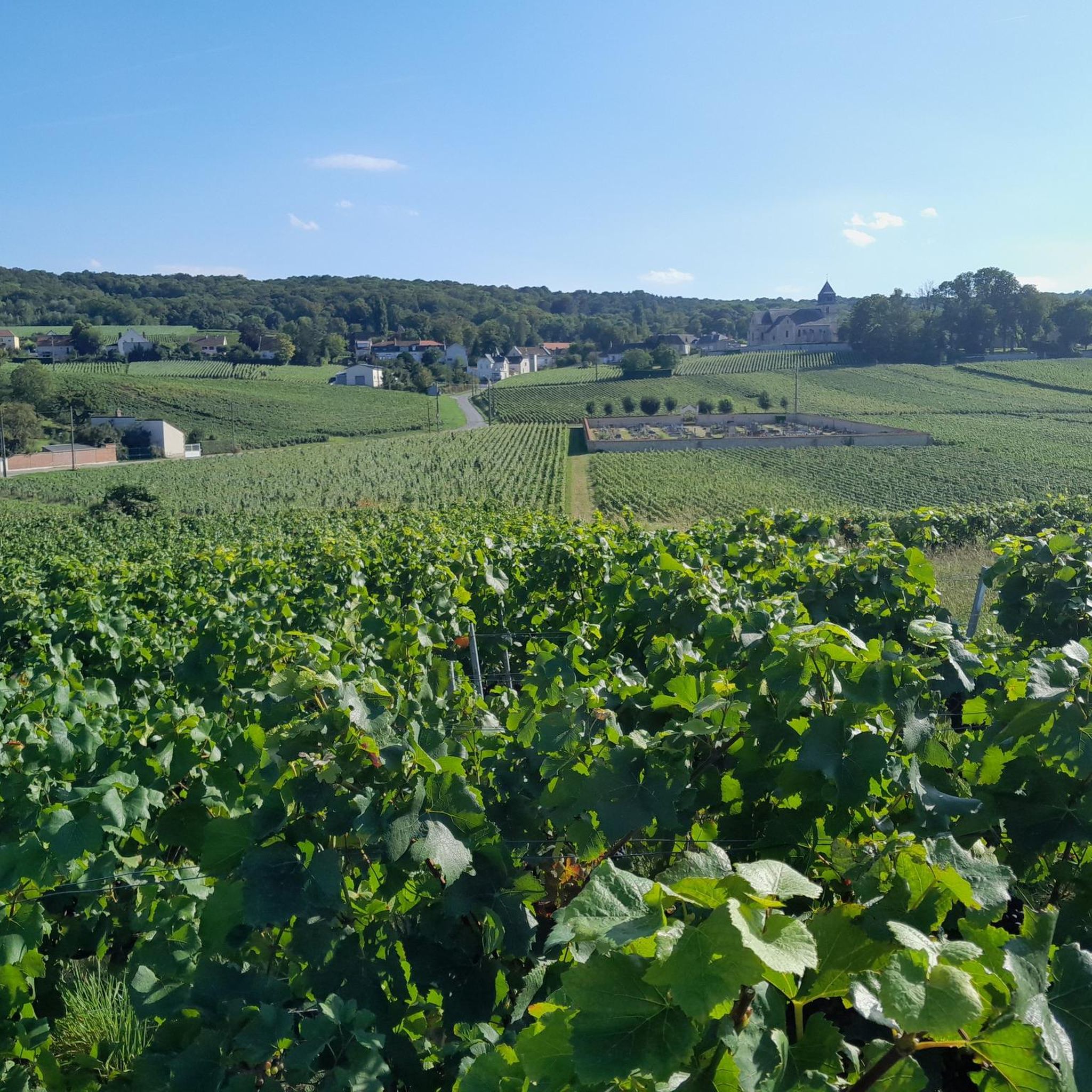
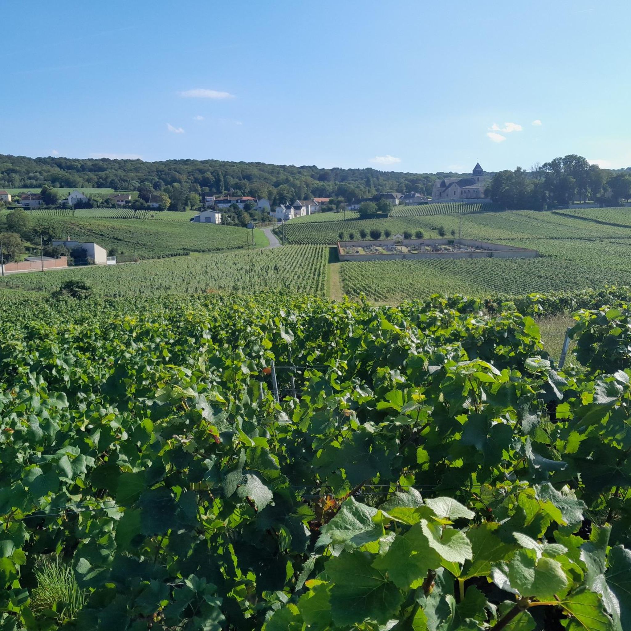
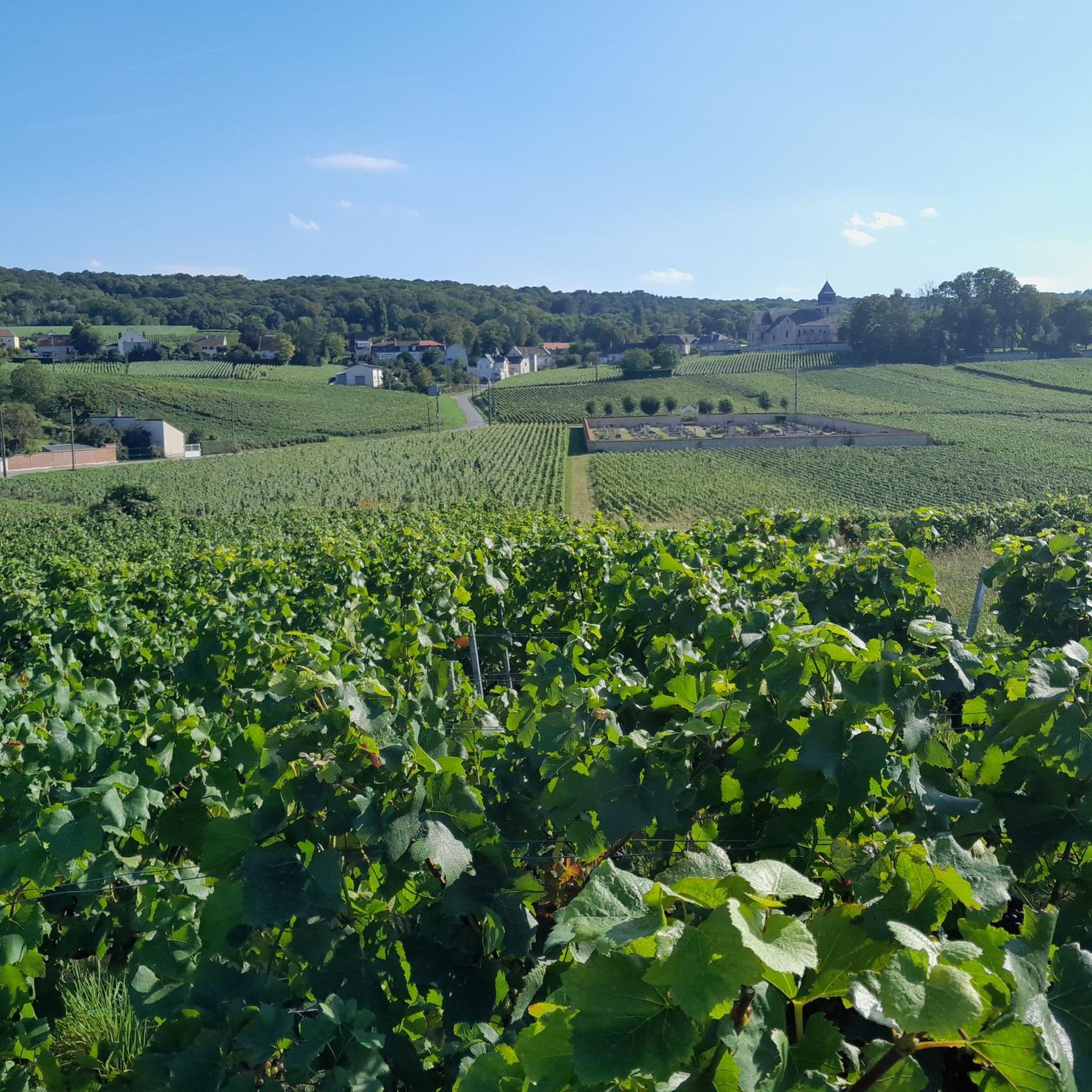
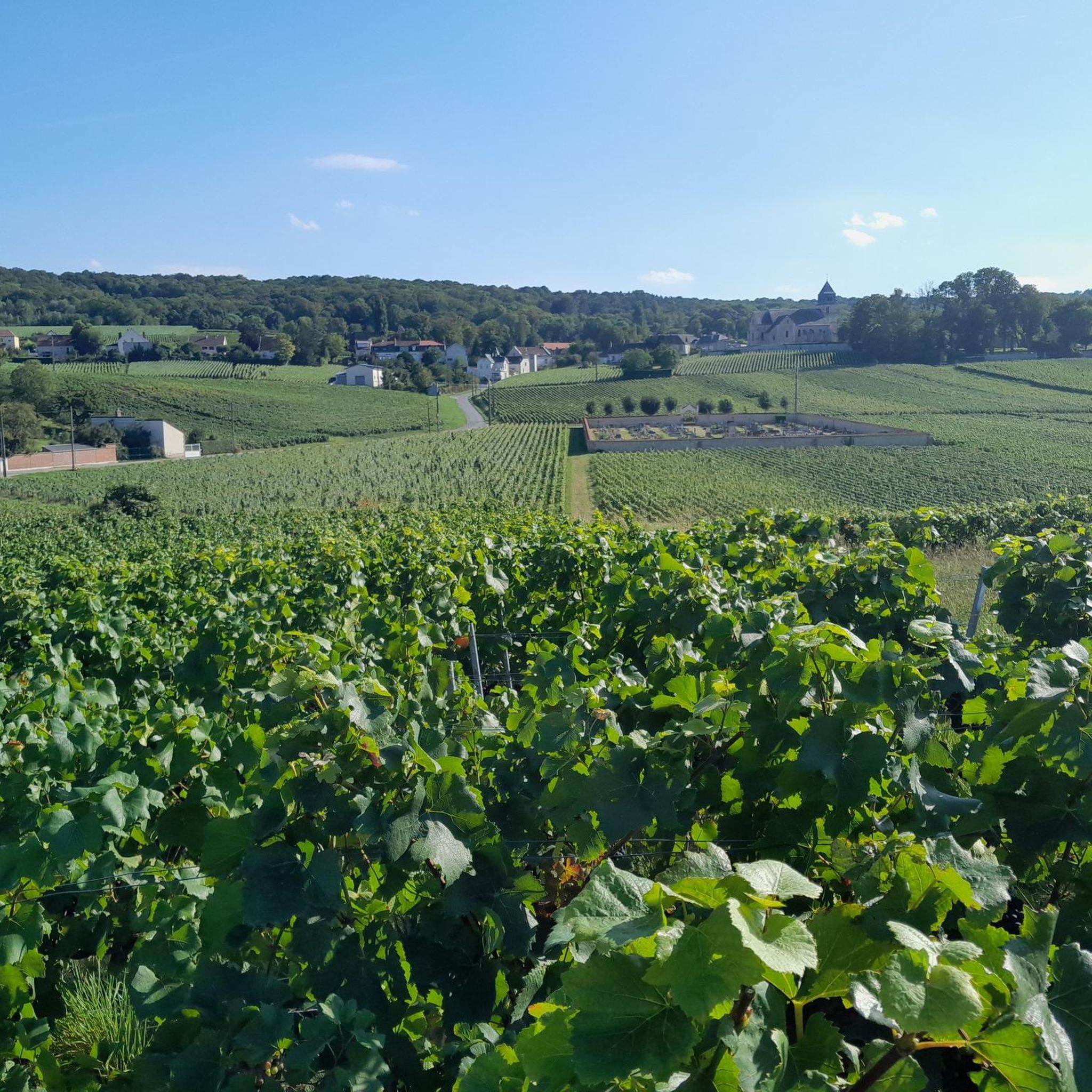
Hiking around Villers-Allerand offers diverse landscapes within the Montagne de Reims Regional Natural Park. The terrain is characterized by extensive Champagne vineyards and dense forests, including significant oak trees. The area is also part of the Rouillat basin, an affluent of the Vesle river, contributing to its natural features. Hikers can explore paths that wind through these iconic vineyards and forests.
Best hiking trails around Villers-Allerand
- The most popular hiking route is Rilly-la-Montagne and Villers-Allerand Loop, a 4.6 miles…
Last updated: July 9, 2026
4.5
(25)
53
hikers
7.37km
02:04
140m
140m
Moderate hike. Good fitness required. Easily-accessible paths. Suitable for all skill levels.
4.4
(14)
52
hikers
Easy hike. Great for any fitness level. Easily-accessible paths. Suitable for all skill levels.

Sign up for free
4.5
(19)
39
hikers
14.7km
04:01
220m
220m
Moderate hike. Good fitness required. Mostly accessible paths. Sure-footedness required.
4.6
(13)
27
hikers
13.6km
03:40
170m
170m
Moderate hike. Good fitness required. Easily-accessible paths. Suitable for all skill levels.
5.0
(3)
19
hikers
Hard hike. Very good fitness required. Easily-accessible paths. Suitable for all skill levels.
Get access to more routes and recommendations from other explorers.
Sign up for free
Already have an account?
Our route recommendations are based on thousands of hikes, rides, and runs completed by other people on komoot.
Start today with a free account
Your next adventure awaits.
Login or Signup
Tips from the Community


The church dates from the 12th century, inside there are stalls with artistically carved wooden figures
0
0
The beginning of a Forest fun didactic circuit, here there are two panels with information on the route and on the rules of behavior in the forest.
2
0
The church dates from the 12th century, inside there are stalls with artistically carved wooden figures.
2
0
The church of Saint Agathe dates from the 12th century, it is classified as a historical monument in France. The church has kept two painted chapels as well as the baptistery.
2
0
Frequently Asked Questions
What kind of terrain can I expect when hiking around Villers-Allerand?
Hiking around Villers-Allerand offers a diverse landscape. You'll find paths winding through extensive Champagne vineyards, which are a UNESCO World Heritage site, and dense forests within the Montagne de Reims Regional Natural Park. The area is also part of the Rouillat basin, an affluent of the Vesle river, contributing to its natural charm. Expect a mix of open vineyard views and shaded forest trails.
Are there any easy hiking trails suitable for beginners or casual walkers?
Yes, there are many easy options. For instance, the Forest Fun didactic circuit — Parc naturel régional de la Montagne de Reims is an easy 4.6 km (2.8 miles) path. This educational trail provides information on forest history, remarkable oak trees, and the Fontaine des Fays spring, making it a pleasant and informative walk.
What are some notable natural features or landmarks I can see on the trails?
The region is rich in natural features. You can explore paths through the iconic Champagne vineyards and the Montagne de Reims forest, known for significant oak trees like the Chêne du Fays. A notable natural curiosity is the Fontaine des Fays, a local spring. Additionally, the Geological trail and Mutigny Ponds are nearby natural highlights.
Are there any circular hiking routes available?
Yes, many trails in the area are circular. A popular option is the Rilly-la-Montagne and Villers-Allerand Loop, a 7.4 km (4.6 miles) moderate trail that takes you through Champagne vineyards and forests, incorporating historical sites. Another is The Springs – Saint Nicholas Church loop from Rilly-la-Montagne, which is a longer 14.7 km (9.1 miles) route.
What do other hikers enjoy most about hiking in Villers-Allerand?
The area is highly rated by the komoot community, with an average score of 4.5 stars from over 1,100 reviews. Hikers often praise the beautiful blend of Champagne vineyards and dense forests, the well-maintained trails, and the opportunities to discover both natural beauty and historical sites.
Are there any longer, more challenging hikes for experienced hikers?
For those seeking a greater challenge, the region offers more demanding routes. The La Noelle Forest Road – Saint Agatha Church loop from Rilly-la-Montagne is a difficult 24.8 km (15.4 miles) trail with significant elevation changes, providing a strenuous and rewarding experience.
What historical sites or attractions can I visit near the hiking trails?
Beyond the natural beauty, you can explore historical sites like the 12th-century Sainte-Agathe church in Villers-Allerand, whose bell tower offers views over the vineyards. The Subé fountain and Place Royale (Reims) are also notable attractions in the wider area.
How many hiking trails are available around Villers-Allerand?
There are over 390 hiking routes available around Villers-Allerand, catering to various fitness levels and preferences. This includes over 210 easy trails, 160 moderate trails, and 10 difficult trails, ensuring a wide range of options for every hiker.
Is there a specific trail that offers educational insights into the local environment?
Yes, the Forest Fun didactic circuit — Parc naturel régional de la Montagne de Reims is an excellent choice. This 4.4 km educational trail in the Villers-Allerand Montchenot forest features seven stations providing information on forest history, exploitation, climate change, and wildlife. It also highlights remarkable oak trees and a WWII bomb crater.
What is the best time of year to go hiking in Villers-Allerand?
The region's landscapes, particularly the Champagne vineyards, offer picturesque views that change with the seasons. Spring and autumn are generally ideal for hiking, with pleasant temperatures and vibrant colors. Summer can also be enjoyable, especially on shaded forest trails, while winter offers a unique, tranquil experience, though some paths might be muddy.
Are there any trails that connect Villers-Allerand to other nearby towns?
Yes, the 'Chemin de Randonnée des 5 Seigneurs' is an extensive 22 km route that connects Villers-Allerand with four other communes: Chigny-les-Roses, Montbré, Rilly-la-Montagne, and Ville-en-Selve. This allows hikers to explore a wider area of the regional park and experience the diverse landscapes between these villages.
Most popular routes around Villers-Allerand
Most popular attractions around Villers-Allerand

Get inspired with the komoot mobile app


Explore more
Browse the best Hikes in other regions.
