The best walks and hikes around Marolles-Sous-Lignières
4.5
(23)
91
hikers
21
hikes
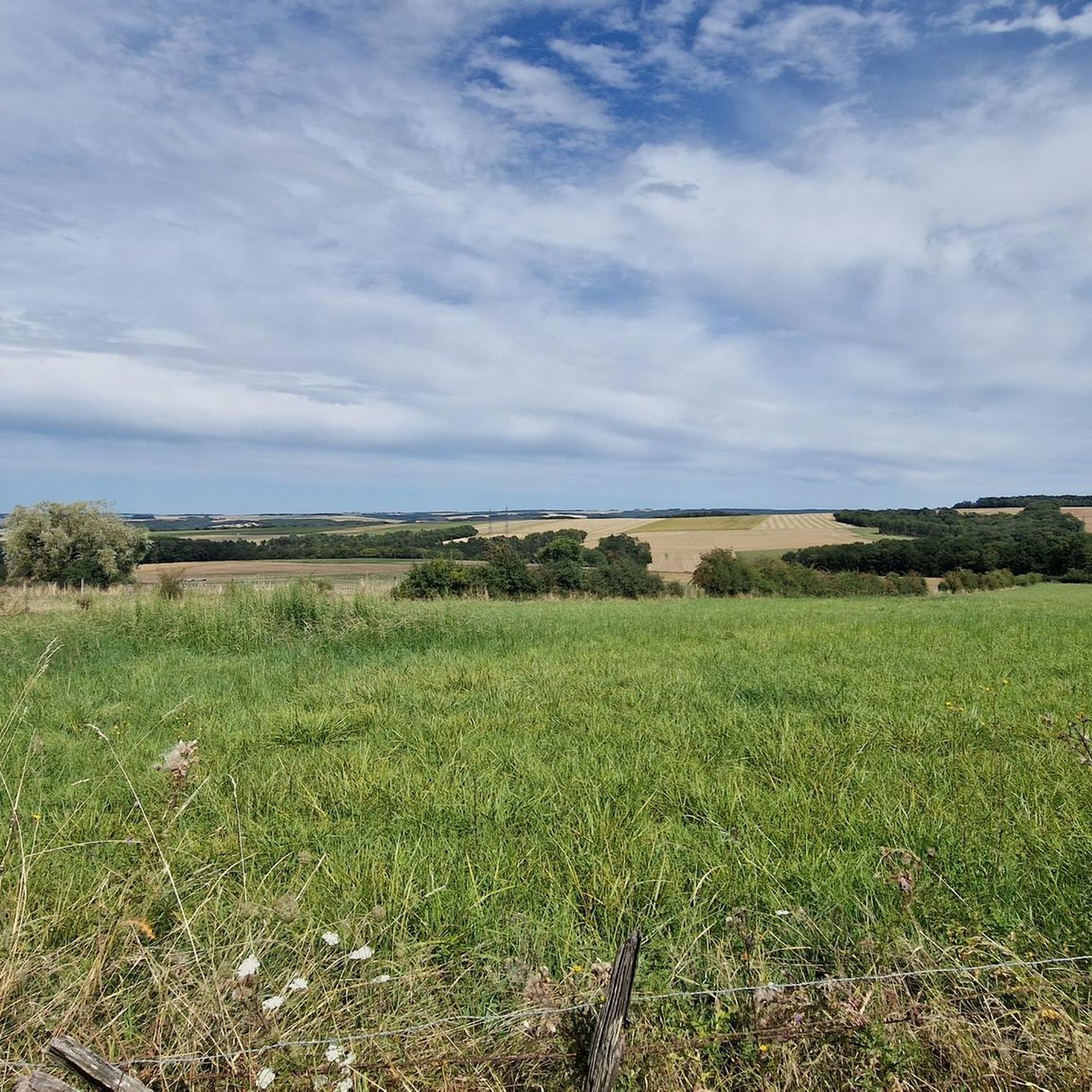
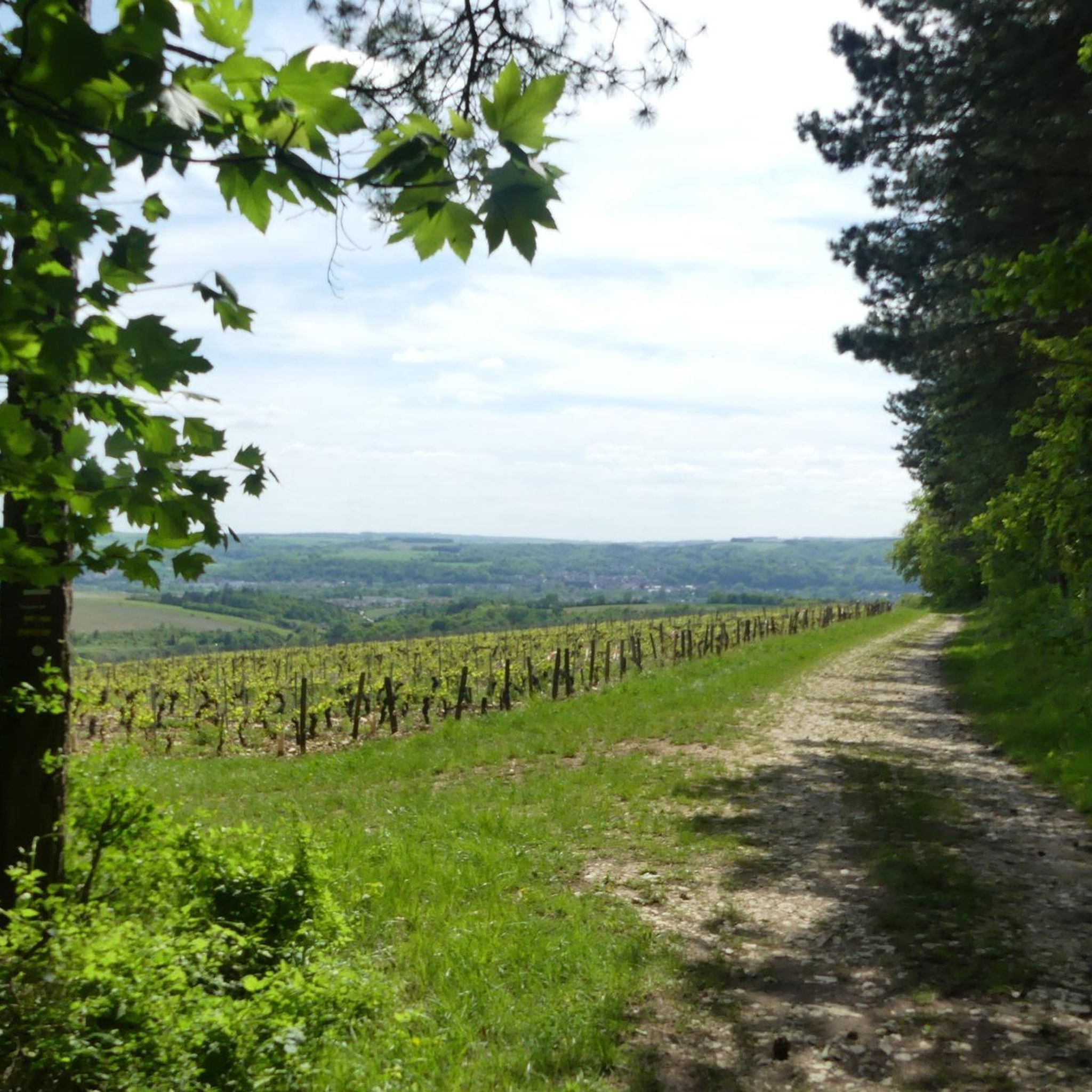
Hiking around Marolles-Sous-Lignières offers diverse landscapes within the Aube department of north-central France. The region features rolling hills, extensive forests, and limestone plateaus, providing varied terrain for outdoor activities. Notable natural features include the nearby Orient Forest Regional Nature Park with its large lakes and woodlands, and the historic Canal de Bourgogne, which offers flat towpath routes. These physical characteristics define the area's hiking opportunities.
Best hiking trails in Marolles-Sous-Lignières
- The most popular hiking route is Rest area – Marolles…
Last updated: July 2, 2026
5.0
(5)
8
hikers
12.4km
03:12
80m
80m
Moderate hike. Good fitness required. Easily-accessible paths. Suitable for all skill levels.
5
hikers
6.17km
01:39
70m
70m
Easy hike. Great for any fitness level. Easily-accessible paths. Suitable for all skill levels.

Sign up for free
5.0
(1)
5
hikers
Moderate hike. Good fitness required. Easily-accessible paths. Suitable for all skill levels.
5.0
(1)
4
hikers
8.70km
02:23
140m
140m
Moderate hike. Good fitness required. Easily-accessible paths. Suitable for all skill levels.
5.0
(4)
4
hikers
11.0km
03:00
170m
170m
Moderate hike. Good fitness required. Easily-accessible paths. Suitable for all skill levels.
Get access to more routes and recommendations from other explorers.
Sign up for free
Already have an account?
Our route recommendations are based on thousands of hikes, rides, and runs completed by other people on komoot.
Start today with a free account
Your next adventure awaits.
Login or Signup



Tips from the Community


Located between the forest massifs of Chaourçois and the Othe forest, Ervy-le-Châtel has many charms. The village takes its name from the local lord who ruled this stronghold until the 9th century: the Ervy family. The Armance flows at the foot of the town. There is also a feudal mound nearby. These are probably the ruins of the original castle.
0
0
In the very heart of the municipal forest of Marolles-sous-Lignières, the path to the pond takes you close to the Marolles pond. This artificial body of water is created from the Madeleine stream.
1
0
You cross the Park woods in a long straight line under a magnificent forest cover. The road begins at the Popin field and ends at the gates of the town of Ervy-le-Châtel.
0
0

The Burgundy Canal is 242 km long, it connects the Seine basin to the Rhône basin. Previously used for moving goods, but since the 1960s the canal has been used almost exclusively for recreational boating.
0
0


One of the two manual locks for the Canal de Bourgogne in Tonnerre. The old lock house is used privately. A hand ram is also on display here. The northern path by the canal is not used as much as the southern cycle path and also has shade in the mornings.
3
0
Frequently Asked Questions
What kind of terrain can I expect when hiking around Marolles-Sous-Lignières?
The region around Marolles-Sous-Lignières offers diverse landscapes, including rolling hills, extensive forests, and limestone plateaus. You'll also find relatively flat routes along the historic Canal de Bourgogne towpath. The nearby Orient Forest Regional Nature Park features woodlands, meadows, and wetlands, providing varied environments for exploration.
How many hiking trails are available in Marolles-Sous-Lignières?
There are over 10 hiking routes around Marolles-Sous-Lignières. The majority of these, 12 out of 14, are considered moderate in difficulty, with 2 easier options also available.
Are there many circular walks available in the area?
Yes, many of the trails around Marolles-Sous-Lignières are circular. For example, you can enjoy the Rest area – Marolles Pond loop from Flogny-la-Chapelle, or the Burgundy Canal – Canal de Bourgogne loop from Épineuil, which follows the historic canal.
What natural features or landmarks can I see while hiking?
You can explore various points of interest, such as the Towpath of the Canal de Bourgogne, which offers scenic strolls. A short distance away, you can visit the remarkable Fosse Dionne in Tonnerre, a karst spring surrounded by an 18th-century washhouse. The region is also known for its picturesque vineyards, particularly along the Côte des Bar.
Are there any family-friendly hiking options?
While specific family-friendly routes are not detailed, the relatively flat sections along the Canal de Bourgogne towpath are generally suitable for families looking for easier, less strenuous walks. The area's diverse landscapes offer options for various ability levels.
Can I bring my dog on the trails around Marolles-Sous-Lignières?
Many trails in rural France, including those around Marolles-Sous-Lignières, are generally dog-friendly, especially if your dog is well-behaved and kept on a leash. However, it's always advisable to check local signage for any specific restrictions, particularly in nature reserves or protected areas like parts of the Orient Forest Regional Nature Park.
What do other hikers enjoy most about hiking in Marolles-Sous-Lignières?
The area is highly rated by the komoot community, with an average score of 4.6 stars from 19 reviews. Hikers often praise the varied terrain, from tranquil canal-side paths to immersive forest explorations, and the opportunity to discover charming villages and historical sites.
What is the best time of year to go hiking in Marolles-Sous-Lignières?
The region's landscapes change beautifully with the seasons. Spring and autumn offer pleasant temperatures and vibrant colors, ideal for hiking. Summer is also suitable, though some trails might be warmer. Winter hikes can be picturesque, especially in the forests, but require appropriate gear.
Are there any longer, more challenging hikes available?
While most routes are moderate, some trails offer longer distances and more elevation gain. For instance, the Hiking loop from Coussegrey is nearly 16 km long with over 240 meters of elevation, providing a more extended challenge.
Where can I find parking for hiking trails?
Parking is typically available in or near the starting points of trails, especially in villages or designated recreational areas. For routes like the Rest area – Marolles Pond loop from Flogny-la-Chapelle, you can often find parking in the nearby towns or at specific rest areas.
Are there any historical sites along the hiking routes?
Yes, the region is rich in history. The Canal de Bourgogne itself is a historic feature with preserved locks and lock houses. The Bois La Dame – Château des Stuart loop from Dannemoine leads through woodlands and past historical sites. Additionally, the nearby town of Tonnerre features the Hôtel-Dieu de Tonnerre, a significant historical building.
What kind of wildlife might I spot while hiking?
The Orient Forest Regional Nature Park, a haven of biodiversity, is home to various bird species and other wildlife. Hiking through the extensive forests and wetlands provides opportunities for wildlife observation, especially in quieter areas away from main paths.
Most popular routes around Marolles-Sous-Lignières
Most popular attractions around Marolles-Sous-Lignières

Get inspired with the komoot mobile app


Explore more
Browse the best Hikes in other regions.
